42 results
2nd grade world history task cards
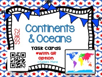
Continents & Oceans Task Cards
Continents & Oceans Task Cards
with QR Option
2 sets of Task Cards (Same card, different answer choice)
Set 1: Multiple Choice
Set 2: QR Code
24 Multiple Choice Task Cards
2nd-4th Grades
Social Studies
2 Anchor Charts
Answer Key
Student Recording Sheet
Great for Stations, Social Studies Test Prep, Review, Early Finishers, Extension, Enrichment, & More...
Standards Addressed:
SS1G2
The student will identify and locate his/her city, county, state, nation, and
continent on a simple m
Grades:
2nd - 4th
Types:
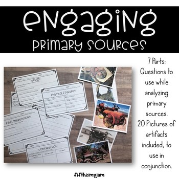
Engaging Questions for Primary Sources (Photos of Artifacts)
This activity was created as a way to teach and/or assess your students when discussing primary sources, especially in regards to photographs of objects and artifacts.The worksheets are adapted using the standard primary source questions that are generally used for engagement with students. I have also included pictures of some ancient artifacts and not so ancient artifacts (though they might be to your students). It should be noted that not all questions will be able to be answered just by l
Grades:
2nd - 12th
Types:
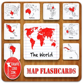
Entire World Geography Flashcards + Printable & Digital Maps ~ MEGA BUNDLE!
ENTIRE WORLD Map Flashcard Set Includes x900 Flashcards of ALL 270 Total Countries + Locations in both Printable & Digital formats. Flashcards are easy to use & perfect for a quick print & go or for creating fun interactive resources like geography games, activities, quizzes, presentations, worksheets, & more!✅ What Is Included?1) Zip File = Packed full of 900 Flashcards for x270 Countries + Locations in The World.—> Simple to Use, Easy to Download, Engagingly Themed, 3-Part F
Grades:
PreK - 12th, Higher Education, Adult Education
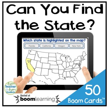
Identifying U.S. States Boom Cards: Can You Find the State? {Digital Task Cards}
Perfect for Distance Learning! These 50 U.S. States Boom Cards ask students to identify the location of all 50 U.S. States. I designed these digital task cards with an easy-to-read United States Map and smiling States clipart. :)"Boom Cards play on modern browsers (released in the last three years) on interactive whiteboards, computers and tablets. Boom Cards apps are also available. Not sure your browser is modern enough? Try a free Boom Cards deck first. When you redeem your purchase, Boom Lea
Grades:
2nd - 6th
Types:
Ancient Greece Scoot / Task Cards
In this product, there are 28 task cards/scoot cards based on Ancient Greece, direct and representative democracy, and the Olympics. All questions are based on what the Georgia Social Studies standards say that students should know about Ancient Greece. They can be used as a whole group quick assessment or as task cards in centers. There is an answer sheet for students to record their answers, as well as an answer key.
Ancient Greece and The Olympics {Interactive Vocabulary Sort}
Ancient Greece
Grades:
2nd - 5th
Types:
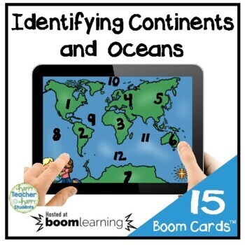
World Map Boom Cards: Continents & Oceans {Digital Task Cards}
Perfect for Distance Learning! These 15 World Map Boom Cards ask students to identify 7 Continents (Asia, Africa, North & South America, Antarctica, Australia and Europe) and 5 Oceans (Pacific, Southern, Indian, Arctic, Atlantic). I designed these cards with an easy-to-read World Map.Students must be able to correctly match 7 Continents (Asia, Africa, North America, South America, Antarctica, Australia & Europe) and 5 Oceans (Atlantic, Pacific, Indian, Arctic & Southern) with the cor
Grades:
2nd - 6th
Types:
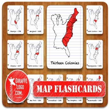
13 Colonies Geography Flashcards with both Printable & Digital Maps
THIRTEEN COLONIES Map Flashcard Set Includes x45 Flashcards of ALL 13 Colonies plus in both Printable & Digital formats. Flashcards are easy to use & perfect for a quick print & go or for creating fun interactive resources like geography games, activities, quizzes, presentations, worksheets, & more!✅ What Is Included?1) Zip File = Packed full of 45 Flashcards for ALL 13 US Colonies.—> Simple to Use, Easy to Download, Engagingly Themed, 3-Part Flashcards.2) Printable Flashcards
Grades:
PreK - 12th, Higher Education, Adult Education
Ancient Civilization Egypt Boom Cards History SOL 3.2 3.5 3.7 3.8
This digital task card deck helps your students review important concepts about the ancient civilization of Egypt! These 31 digital task cards are interactive and self-checking. Great for standardized test prep and end of unit review! Maps, real photographs and clipart are used in this deck.Students will:locate Egypt (from the beginning of its culture, the height of its culture, and today) on various mapsdescribe the climate and geography of Ancient Egyptdescribe how Ancient Egyptians adapted to
Grades:
2nd - 4th
Types:
WW1 Coloring Pages – Read, Color & Learn About World War 1 For Kids
A great way to dive into the history of World War I for kids, is with these fun WWI coloring pages for children to read, color, and learn pages. These world war 1 worksheets would make a great addition to history lessons, a World War One unit in your homeschool, or area parent learning about world war 1 for kids. Simply print these great war printables to teach pre-k, kindergarten, first grade, and 2nd grade students. WW1 Coloring PagesWhether you are a parent, teacher, or homeschooler – you wil
Subjects:
Grades:
PreK - 5th, Staff
Types:
Ancient Civilization China Boom Cards History SOL 3.2 3.5 3.7 3.8
This digital task card deck helps your students review important concepts about the ancient civilization of China! These 34 digital task cards are interactive and self-checking. Great for standardized test prep and end of unit review! Maps, photographs and clipart are used in this deck.Students will:locate China (from the beginning of its culture, the height of its culture, and today) on various mapsdescribe the climate and geography of Ancient Chinadescribe how Ancient Chinese adapted to their
Grades:
2nd - 4th
Types:
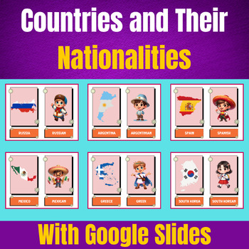
Vibrant Flashcards of Countries and Their Nationalities With Google Slides.
Discover the world with our beautifully designed flashcards! Each card features a country with its corresponding nationality, brought to life with vivid colors and engaging illustrations. Perfect for students, travelers, and geography enthusiasts, these flashcards make learning fun and memorable. Whether for educational purposes or personal enrichment, our flashcards are an essential tool for expanding your knowledge of the globe. Dive into a colorful journey around the world today.
Subjects:
Grades:
PreK - 2nd
Types:
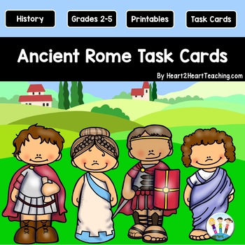
Ancient Rome Task Cards {Set of 32 Cards & 6 Vocabulary Cards}
These Ancient Rome Task Cards are a fun and engaging way to reinforce learning and review at the end of a unit. They are so versatile because there are so many different ways to use them in the classroom!
What's Inside:
✔32 Task Cards
✔6 Vocabulary & Definitions Cards
✔Recording Sheets
✔Answer Keys
✔A PDF for quick printing
✔Blank Cards in a PowerPoint to create your own
Here are a few meaningful and fun ways to use them:
✔as scoot cards --get the kiddos moving around the room
✔as desk
Grades:
2nd - 5th
Types:
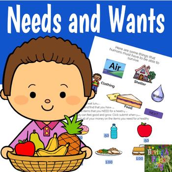
Needs and Wants- Boom Cards
Improve your students' understanding of needs and wants with this digital interactive task card set hosted on Boom Learning℠. This resource includes explanations on the differences between needs and wants, comprehension questions, and scenario cards to help students apply their knowledge. These task cards are a fun and interactive way to virtually teach this important concept!How do I play my cards?When you purchase this set you will download a PDF that includes a link to your purchased task car
Subjects:
Grades:
2nd - 3rd
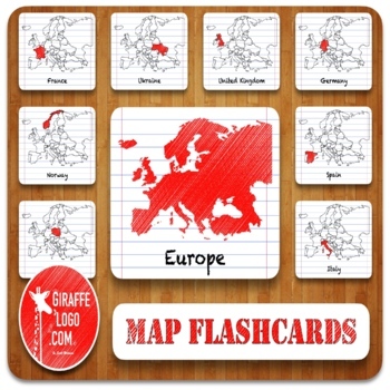
Europe Geography Flashcards with Printable & Digital Maps
EUROPE Map Flashcard Set Includes x138 Flashcards of ALL 46 European Countries + Locations in both Printable & Digital formats. Flashcards are easy to use & perfect for a quick print & go or for creating fun interactive resources like geography games, activities, quizzes, presentations, worksheets, & more!✅ What Is Included?1) Zip File = Packed full of 138 Flashcards for x46 Countries + Locations in Europe.—> Simple to Use, Easy to Download, Engagingly Themed, 3-Part Flashcard
Grades:
PreK - 12th, Higher Education, Adult Education
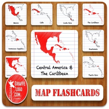
Central America & Caribbean Geography Flashcards with Printable & Digital Maps
CENTRAL AMERICA & THE CARIBBEAN Map Flashcard Set Includes x120 Flashcards of ALL 40 Central American & Caribbean Countries + Locations in both Printable & Digital formats. Flashcards are easy to use & perfect for a quick print & go or for creating fun interactive resources like geography games, activities, quizzes, presentations, worksheets, & more!✅ What Is Included?1) Zip File = Packed full of 120 Flashcards for x40 Countries + Locations in Central America & The Ca
Grades:
PreK - 12th, Higher Education, Adult Education
Ancient Egypt Task Cards {Set of 32 Cards}
These Ancient Egypt Task Cards are a fun and engaging way to reinforce learning and review at the end of a unit. They are so versatile because there are so many different ways to use them in the classroom! What's Inside:✔32 Task Cards✔10 Vocabulary & Definitions Cards✔Recording Sheets ✔Answer Keys✔A PDF for quick printingHere are a few meaningful and fun ways to use them: ✔as scoot cards --get the kiddos moving around the room✔as desk rotations or all around the room games✔for science center
Grades:
2nd - 5th
Types:
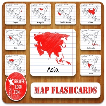
Asia Geography Flashcards with Printable & Digital Maps
ASIA Map Flashcard Set Includes x150 Flashcards of ALL 50 Asian Countries + Locations in both Printable & Digital formats. Flashcards are easy to use & perfect for a quick print & go or for creating fun interactive resources like geography games, activities, quizzes, presentations, worksheets, & more!✅ What Is Included?1) Zip File = Packed full of 150 Flashcards for x50 Countries + Locations in Asia.—> Simple to Use, Easy to Download, Engagingly Themed, 3-Part Flashcards.2) Pr
Grades:
PreK - 12th, Higher Education, Adult Education
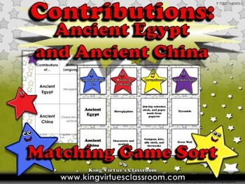
Ancient Egypt and Ancient China: Contributions Matching Game Sort #1
Ancient Egypt and Ancient China: Contributions Matching Game Sort #1 - King Virtue's Classroom
Students will love reviewing what you've taught them about the contributions (written language, inventions, and architecture) of Ancient Egypt (hieroglyphics, 365-day calendar, and paper from papyrus, and pyramids) and Ancient China (Characters and symbols, compass, kite, silk cloth, and fireworks, and the Great Wall) with this matching game sort activity. Fun and engaging!
This set includes:
4 heade
Subjects:
Grades:
2nd - 3rd
Types:
Also included in: Ancient Egypt and Ancient China MegaBundle - King Virtue's Classroom
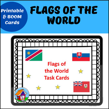
Flags of the World Printable Task Cards with BOOM Card™ Option
Do your students love to look at flags of countries around the world? Can they guess which country is which by reading a clue and looking at that country's flag?Kids love flags! These super-easy task cards, in both printable and digital BOOM Card™ format, allow your students to recognize and identify flags of the world. There is an easy clue about each country, to accompany the flag. Depending on their age, students could also consult an atlas or almanac to find the flag.There are 24 task cards
Grades:
2nd - 5th
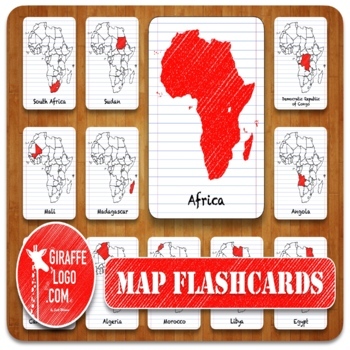
Africa Geography Flashcards with Printable & Digital Maps
AFRICA Map Flashcard Set Includes x171 Flashcards of ALL 57 African Countries + Locations in both Printable & Digital formats. Flashcards are easy to use & perfect for a quick print & go or for creating fun interactive resources like geography games, activities, quizzes, presentations, worksheets, & more!✅ What Is Included?1) Zip File = Packed full of 171 Flashcards for x57 Countries + Locations in Africa.—> Simple to Use, Easy to Download, Engagingly Themed, 3-Part Flashcards
Grades:
PreK - 12th, Higher Education, Adult Education
Jump Rope Rhymes
This is just a collections of jump rope rhymes that can be cut (to 3 1/2" x 5") and laminated. Great for recess, a poetry unit or a discussion of folklore.
Subjects:
Grades:
1st - 6th
Types:
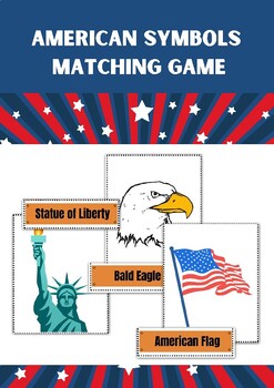
The American Symbols Matching Game.
The American Symbols Matching Game is an engaging and interactive activity that helps students develop their knowledge of American symbols while also improving their memory and critical thinking skills. It encourages discussion and deeper understanding of the significance of these symbols in American history and culture. Enjoy playing and learning about American symbols with your 1st-grade students!
Grades:
K - 3rd, Adult Education, Staff
Types:
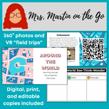
Around the World in 360°- Activities for Writing, SS, and Virtual Field Trips
Take your students around the world using Google Arts & Culture! These low prep task cards show students historical and cultural sites in 360° views and virtual reality (VR) experiences. This file is completely editable to fit your specific state and/or school standards, but is designed to be used with no editing.Three versions of the activity are included in both print and digital formats with specific instructions, tailored graphic organizers, and 12 destination task cards, making this a v
Grades:
1st - 8th
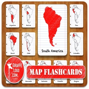
South America Geography Flashcards with Printable & Digital Maps
SOUTH AMERICA Map Flashcard Set Includes x51 Flashcards of ALL 17 South American Countries + Locations in both Printable & Digital formats. Flashcards are easy to use & perfect for a quick print & go or for creating fun interactive resources like geography games, activities, quizzes, presentations, worksheets, & more!✅ What Is Included?1) Zip File = Packed full of 51 Flashcards for x17 Countries + Locations in South America.—> Simple to Use, Easy to Download, Engagingly Themed
Grades:
PreK - 12th, Higher Education, Adult Education
Showing 1-24 of 42 results


