240 results
Martin Luther King Day geography scaffolded notes for Google Apps
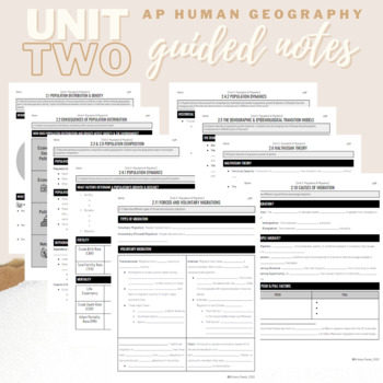
Unit 2: Student Guided Notes - AP Human Geography
Notes pages for each CED topic for Unit Two.Use the guided notes to scaffold your Human Geography lectures or use the notes with my accompanying lecture slideshow! You can find slideshow lectures that correlate directly with EACH CED Topic for AP Human Geography Unit 2 here.Students can use as a study guide, you can assign for homework, or use with a self-guided lecture! You can assign this to be completed digitally for distance learning or print and have students complete hardcopy.So many uses!
Subjects:
Grades:
9th - 12th
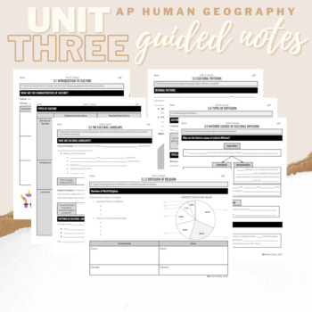
Unit 3: Student Guided Notes - AP Human Geography
Notes pages for each CED topic for Unit Three.Use the guided notes to scaffold your Human Geography lectures or use the notes with my accompanying lecture slideshow! You can find slideshow lectures that correlate directly with EACH CED Topic for AP Human Geography Unit 3 here.Students can use as a study guide, you can assign for homework, or use with a self-guided lecture! You can assign this to be completed digitally for distance learning or print and have students complete hardcopy.So many use
Subjects:
Grades:
9th - 12th
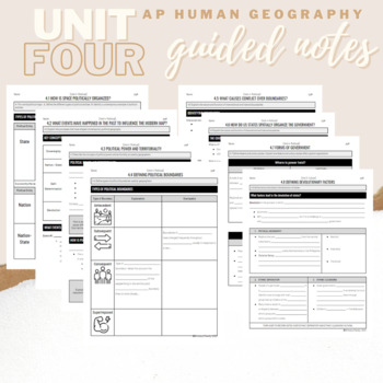
Unit 4: Student Guided Notes - AP Human Geography
Notes pages for each CED topic for Unit Four.Use the guided notes to scaffold your Human Geography lectures or use the notes with my accompanying lecture slideshows! You can find slideshow lectures that correlate directly with EACH CED Topic for AP Human Geography Unit 4 here.Students can use as a study guide, you can assign for homework, or use with a self-guided lecture! You can assign this to be completed digitally for distance learning or print and have students complete hardcopy.So many use
Subjects:
Grades:
9th - 12th
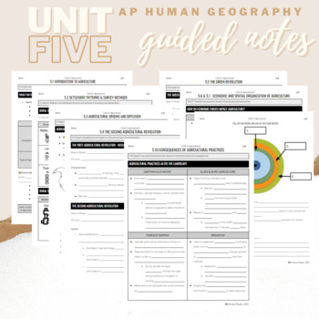
Unit 5: Student Guided Notes - AP Human Geography
Notes pages for CED topics 5.1-5.10 for Unit Five. *NOTE: THIS IS MISSING TOPICS 5.11 and 5.12*Use the guided notes to scaffold your Human Geography lectures or use the notes with my accompanying lecture slideshows! You can find slideshow lectures that correlate directly with EACH CED Topic for AP Human Geography Unit 5 here.Students can use as a study guide, you can assign for homework, or use with a self-guided lecture! You can assign this to be completed digitally for distance learning or pri
Grades:
9th - 12th
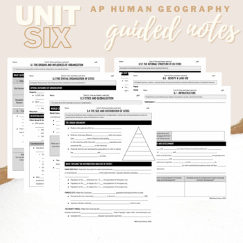
Unit 6: Student Guided Notes - AP Human Geography
Notes pages for each CED topic for Unit Six.Use the guided notes to scaffold your Human Geography lectures with my accompanying lecture slideshows! You can find slideshow lectures that correlate directly with EACH CED Topic for AP Human Geography Unit 6 here.Students can use as a study guide, you can assign for homework, or use with a self-guided or in-person lecture! You can assign this to be completed digitally for distance learning or print and have students complete hardcopy.So many uses!
Grades:
9th - 12th, Higher Education
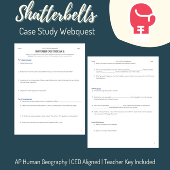
Shatterbelts Case Studies - AP Human Geography - Unit 4: Political Geography
AP Human Geography Topics Covered:4.3 Political Power & Territoriality This "webquest" type activity includes three case studies for Shatterbelts. Students use a single resource for each case study (one article, two videos) to answer high-level analysis questions. Finally, two prompts are provided for students to practice their FRQ skills. Eastern Europe/The Balkans/YugoslaviaThe Middle East Ukraine Teacher answer key included.
Grades:
9th - 12th
Types:
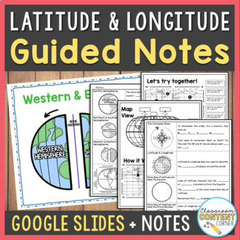
Latitude & Longitude & Hemispheres Lesson Slides & Guided Notes | Google Slides
Who says note-taking can't be fun? These Latitude & Longitude guided notes use a fill-in-the-blank format that is interactive and easy-to-follow! The slideshow will also prompt students to sketch, label, and answer questions. This resource includes: Guided Notes printable (PDF) Interactive Slideshow (Google Slides) Partially editable versions so you can adapt this lesson to your needs!Topics include: Earth's HemispheresThe Compass RoseLatitude & Longitude on a world map Following and fin
Subjects:
Grades:
5th - 8th
Types:
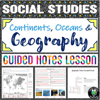
Geography Terms & Continent/Ocean Labeling - Notes, PowerPoint, 2 Activities
Looking for a no prep introductory geography lesson? Look no further! This comprehensive lesson teaches students the basics of geography, providing a strong foundation from which to teach more advanced social studies concepts. This double-sided worksheet allows students to label continents and oceans on the front, while taking guided notes on 10 geography terms (continent, ocean, bay, ocean, plain, isthmus, peninsula, strait, glacier, cataract). A corresponding PowerPoint to display is included,
Grades:
4th - 7th
Southeast Asia Google Slides with Notetaking Guides: Print and Digital
Updated:July 2023Google Slides38 Slides: Fully EditableSOUTHEAST ASIA Geography Google Slides lesson is a great way to teach students about the physical geography, economy, culture, standard of living, and more of the following countries in Southeast Asia: Myanmar (Burma), Thailand, Cambodia, Brunei, Laos, Vietnam, Malaysia, Indonesia, Philippines, SingaporeNote Taking GuideThe Google Slides purchase also includes EDITABLE student note-taking guide/graphic organizers (for print and digital notet
Grades:
7th - 10th
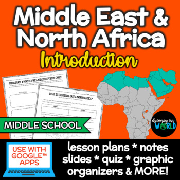
Middle East & North Africa: Intro {Geography & World Cultures} Lessons
In this NO-PREP Middle East (Southwest Asia) & North Africa Geography Intro. lesson, your students will discover what makes it a region, complete a political map, analyze Middle East misconceptions, and MORE with these differentiated PowerPoint/Google™ Slides notes, lessons, activities, and assessment! Students will learn:✱ What the Middle East is ✱ Where the term "Middle East" came from✱ What makes up the Middle East & North Africa (MENA)✱ Why it's considered a region✱ Similarities amon
Grades:
6th - 10th
Also included in: Middle East & North Africa - Geography/World Cultures BUNDLE!
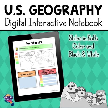
United States Geography & U.S. Regions DIGITAL Interactive Notebook
United States Geography & Its Regions Digital Interactive Notebook UnitThis resource is a U.S. Geography DIGITAL Interactive Notebook for upper elementary. The file is 110 pages long and includes a complete answer key and a unit assessment. Please note, this unit includes the same activities as my best-selling U.S. Geography Interactive Notebook, but these graphic organizers are digital. Teachers may want to use both versions with students to meet different needs. Digital pages can be used w
Grades:
4th - 6th
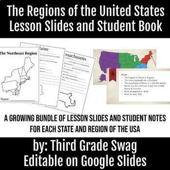
The Regions of the United States | Editable Teacher Slides and Student Notes
A growing bundle! This product is meant to teach your students about each region of the United States, and the states included in that region. Each region will have 4-5 slides for each state that students will take notes on. The notes are fill in the blank style.This product is editable. You can add, change, or delete information to meet your needs. All five regions are finished with teacher slides and student note pages.
Subjects:
Grades:
3rd - 6th
Maps & Map Projections mini-unit: Bundle of Resources
These guided inquiries and activities explore the purpose of maps, common definitions, the representational element of maps, how world maps become distorted, and the basics of map projections. Students will analyze key differences between shape preserving maps like the Mercator Projection, equal area preserving maps like the Peter’s Projection, and compromising maps like the Robinson Projection. A complementary activity explores how some professionals believe that the Mercator map was used in a
Grades:
6th - 10th
Types:
Indigenous People of Australia | Slideshow, Notes, Lessons & Exam
✱✱✱✱This product is part of a bundle! ✱✱✱✱If you are teaching about Oceania, Australia, and/or New Zealand and native/indigenous people then this is the product for you! All documents come in Google Docs™ {virtual} & slides & PowerPoint. Everything is fully editable!This slideshow will walk your students through the history of the Aboriginal and Torres Strait Islanders of Australia. They will learn about British colonization, its effects, and culture. Students will have to think critical
Grades:
6th - 9th
Also included in: Australia, Oceania & New Zealand Geography Unit Bundle
Geography of Virginia Digital Flip Book (VS.2)
This digital flip book makes it easy to teach and review Virginia's bordering states, regions, and bodies of water. Use this paperless flip book for guided note-taking or as an engaging review activity at the end of your Virginia's geography unit. No prep for you; no lost papers for them!Students will “drag and drop” movable objects and type answers to questions. This is a great way for students to become more confident with TEI skills!Students will review:Virginia's bordering statesVirginia's b
Subjects:
Grades:
4th - 5th
Types:
Also included in: Virginia Studies Digital Flip Books Bundle
Mexico, Central America & Caribbean Slides with Note Taking Guides
Updated:July 2023Google Slides44 Slides: Fully EditableMEXICO, CENTRAL AMERICA and the CARIBBEAN Geography Google Slides lesson is a great way to teach students about the physical geography, economy, culture, standard of living, and more of the following countries in Latin America: Mexico, Belize, Guatemala, El Salvador, Honduras, Nicaragua, Costa Rica, Panama, Puerto Rico, Dominican Republic, Haiti, Cuba, Jamaica, and the Bahamas. Note Taking GuideThe Google Slides purchase also includes EDITAB
Grades:
7th - 10th
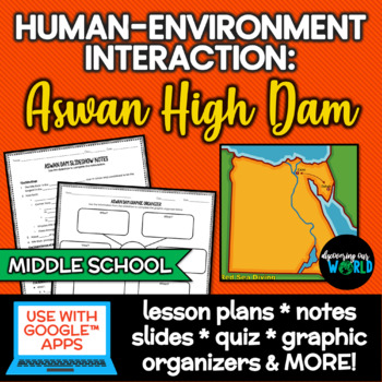
Aswan High Dam Geography & Human-Environment Interaction Lessons
Aswan High Dam Geography & Human-Environment Interaction Lessons is a NO-PREP set of lessons and activities so your students can discover how Egyptians depend, modify, and adapt to the Nile River.Students will learn about the Nile River and the Aswan Dam through differentiated PowerPoint/Google™ Slides notes, lessons, activities, and assessment!Students will understand:✱ What the Nile River is✱ The important of the Nile River to ancient Egyptians✱ The who, what, where, when, why, and how of
Grades:
6th - 9th
Also included in: Middle East & North Africa - Geography/World Cultures BUNDLE!
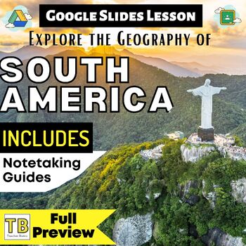
South America Google Slides with Note Taking Guides
Updated:August 2023Google Slides48 Slides: Fully EditableSOUTH AMERICA's Geography Google Slides lesson is a great way to teach students about the physical geography, economy, culture, standard of living, and more of the following countries in Latin America: Venezuela, Colombia, Ecuador, Peru, Brazil, Bolivia, Paraguay, Uruguay, Chile, Argentina, Suriname, Guyana, French GuianaNote Taking GuideThe Google Slides purchase also includes EDITABLE student note-taking guide/graphic organizers (for pri
Grades:
7th - 10th
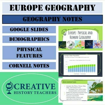
Europe Geography Notes (Google Slides Presentation)
This presentation covers the Geography of Europe. Europe is a geographically diverse continent with various physical features and social structures. The physical and cultural regional conditions create unique European landscapes and an understanding that lays the foundation for learning about the continent’s connections to other people and places on Earth. Included in this presentation: Europe Demographics: Slides 2-23European Physical Features: Slides 24-40-(4) Geographic Regions: 1. We
Grades:
6th - 12th
Types:
Also included in: Europe Geography Unit Bundle (6+ Weeks)
Middle East & North Africa - Geography/World Cultures BUNDLE!
Grab this GROWING bundle of the Middle East (Southwest Asia) & North Africa for Geography/World Cultures!When you purchase a GROWING bundle, you will be able to download ANY updates FOR LIFE! I will be adding to this bundle, so you want to get this NOW!Check out the previews on the current products included: Students will learn:✱ What makes up the Middle East & North Africa (MENA)✱ Why it's considered a region✱ Important characteristics about the MENA✱ The who, what, where, when, why, an
Grades:
6th - 9th
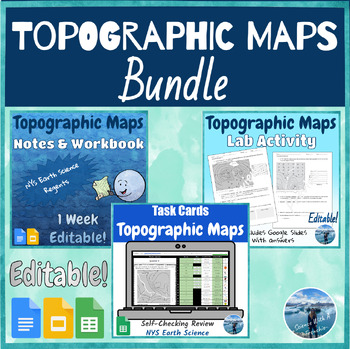
Topographic Maps Bundle | Notes, Lab & Review Activities | NYS Earth Science
This week-long low-prep unit covers everything your students need to know about topographic maps for the NYS Earth Science Regents exam. The students will learn how to interpret and draw isoline maps and analyze topographic maps including contour intervals and elevation, steep and gentle slopes, depressions, river flow direction, and highest and lowest elevations on a topographic map. They will also learn how to calculate elevation gradients and draw profiles using contour lines.What's Included?
Subjects:
Grades:
8th - 10th
Types:
NGSS:
HS-ESS2-1
Topographic Maps Unit Notes & Workbook | Editable
This one-week-long low-prep unit covers everything your students need to know about topographic maps for the NYS Earth Science Regents exam. The students will learn how to interpret and draw isoline maps and analyze topographic maps including contour intervals and elevation, steep and gentle slopes, depressions, river flow direction, and highest and lowest elevations on a topographic map. They will also learn how to calculate elevation gradients and draw profiles using contour lines. What's inc
Subjects:
Grades:
8th - 10th
Types:
CCSS:
NGSS:
MS-ESS2-2
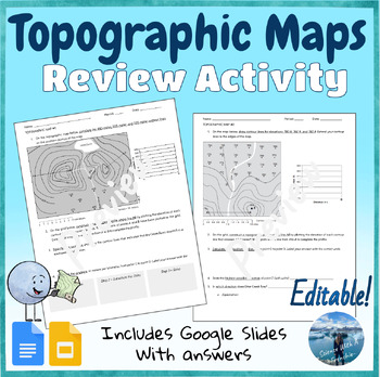
Interpreting Topographic Maps Worksheet or Lab Activity | Editable | NYS Regents
This activity summarizes what your students need to know about topographic maps for the NYS Earth Science Regents exam. It can be used as a lab activity, as a review at the end of your topographic map unit, or as a Regents review worksheet. The students will review the following topics: Review key vocabulary words.Drawing contour lines.Explaining the difference between a steep and a gentle slope on a map.Determining which way a river flows by analyzing contour lines.Determining the highest eleva
Subjects:
Grades:
8th - 11th
Types:
CCSS:
NGSS:
MS-ESS2-2
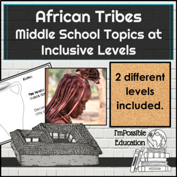
African Tribes- Middle School Geography Topics at Inclusive Levels
Help teach all your students about the traditions of African Tribes - Himba, Maasai, Yoruba, and Zulu. There are two different levels included- it is made to be used with African Tribe Photo Match which is at a middle school level but can be used separately with your grade level lesson. The grade level text is not included with this purchase. Check out the bundle to get both together at a discounted price.The Yellow Level is set up to look like the grade level work. Students will read passag
Subjects:
Grades:
6th - 9th
Also included in: African Tribe Differentiated Photo Match/Readings -Digital Or Print
Showing 1-24 of 240 results


