47 results
Free 5th grade geography scaffolded notes

Maps and Globes Interactive Notebook Unit Geography FREEBIE Grades 6, 7, 8
Maps & Globes Interactive Notebook Freebie
This is a four piece maps and globes interactive notebook with assessments for middle school. This geography freebie includes:
- Types of Maps
- Parts of a Map
- Maps vs. Globes
- Hemispheres
If you like this resource, check out the What is Social Studies? Geography, Economics, & Citizenship Interactive Notebook Unit .
If you need more world history units, please follow my store for product updates!
Early People & Mesopotamia Interac
Grades:
5th - 7th
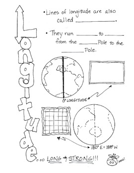
Cartoon Notes for Map Skills-Longitude
Visual notes for learning map skills...I call them 'Cartoon Notes!' These notes are a hit in my classroom, as they tie in visual learning with note-taking. I use these in my classroom to introduce, reinforce, and review with my students. Enjoy!
This is the page for teaching 'Longitude." Make sure you search for the page on 'Latitude' as well!
Subjects:
Grades:
3rd - 9th
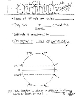
Cartoon Notes for Map Skills-Latitude
Visual notes for learning map skills...I call them 'Cartoon Notes!' These notes are a hit in my classroom, as they tie in visual learning with note-taking. I use these in my classroom to introduce, reinforce, and review with my students. Enjoy!
This is a page for teaching 'Latitude.' Please see the 'Longitude' page too!
Subjects:
Grades:
3rd - 8th
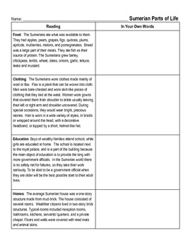
Ancient Mesopotamia- Summerian Daily Life
This is a short activity that the students can read small passages about daily life in ancient Mesopotamia, then write about it in their own words.
Grades:
5th - 8th
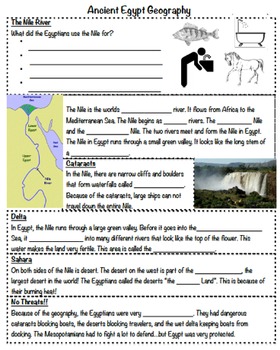
Ancient Egypt Notes PT 1 (Geography)
These are the skeletal notes that go with Ancient Egypt PPT 1. It focuses on the geography of ancient Egypt. It contains the notes and then a drawing of the map of ancient Egypt for students to label and color.
Subjects:
Grades:
4th - 7th
Types:
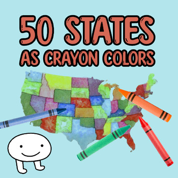
Crayons U.S. 50 States Map Skills Activity Practice Locating and Creativity
This worksheet provides students with an opportunity to practice their interdisciplinary, cross-curricular activity. After students read the online article or listen to the "Are You Pronouncing "Crayon" Wrong?" episode of Cozy Rainbow Podcast, students can use this U.S. map to mark the locations of the 50 states and creative, colorful crayon names for each.Practice map skills and listening comprehension at the same time during this unique activity designed to build students geography knowledge.
Subjects:
Grades:
3rd - 6th
Types:
Also included in: Crayons Active Listening Comprehension Podcast Activity
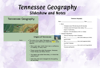
Tennessee Geography Basics- Slideshow and Notes
This product contains a slideshow and guided notes for Tennessee Geography Basics . It is aligned to the Tennessee 5th Grade Social Studies Standards. I have always printed off 2 per page to save paper, and students can easily read and complete at this font size. All words to be written in the guided notes are highlighted.All test questions are bold and underlined, for students to highlight or underline in their note packet to study later. There are 30 Slides including embedded videos.There are
Subjects:
Grades:
3rd - 8th
Living on a Dollar Documentary Note-Taking & Reflection Worksheet with answers
Use this worksheet to keep your students engaged while watching "Living on a Dollar". Reflection questions at the beginning and end for writing practice, higher order thinking, and class discussion.
Subjects:
Grades:
4th - 12th, Adult Education
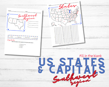
U.S. States & Capitals for Southwest Region
Great for students that need spelling assistance of any kind! Chunks the information into less overwhelming pieces for studentsWhat is included:A fill in the blank states and capitals recording page for the Southwest regionA fill in the blank states recording page for the entire USAThe PPT is sold separately here.
Subjects:
Grades:
5th - 8th

Map Skills for Interactive notebook
I used this note page to review map skills such as latitude, longitude, cardinal and intermediate directions.
Subjects:
Grades:
3rd - 6th
Types:
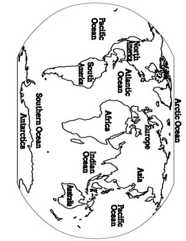
Geographic Features Coloring Pages
Great for English Language Learners, lower grades, key reinforcement (or fast finishers). This is a vocab coloring page set to reinforce the key terms.
Subjects:
Grades:
1st - 12th
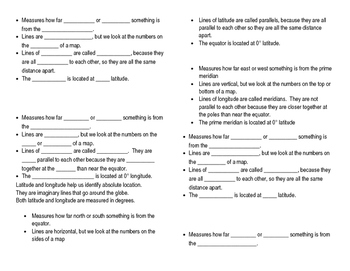
Latitude and Longitude Notes
This set of guided notes is perfect for an interactive notebook! Easy to use, no prep. Includes answers.
The first page is a sheet with one copy of guided notes, and a set of teacher notes (answers in red) on the left. The second page is a sheet with one copy of guided notes and a set of two Robinson maps to use as a visual aid (great for drawing on and labeling!) in the notebooks.
If you liked this resource, you may also like:
Latitude and Longitude Scoot
Map Skills Test Bundle
Central an
Grades:
4th - 6th
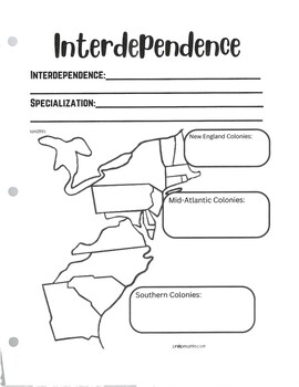
Colonial Interdependence
This activity allows students to take notes on colonial interdependence as described by the United States History I VA SOLs. There is a completed notes sheet and a differentiated notes sheet included as well.
Grades:
4th - 6th

United States Regions Note Taking/Research Sheet
Use this graphic organizer when researching the Midwest region - available on Google Drive
Grades:
3rd - 5th
Types:
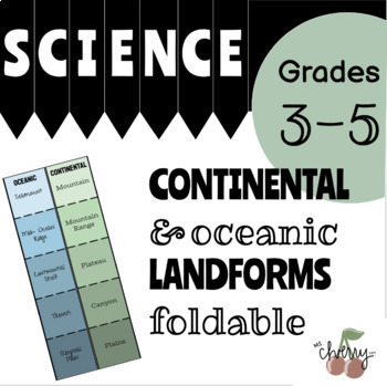
Continental & Oceanic Landforms Foldable
This graphic organizer is a great addition for helping students remember the different types of landforms! Each landform name is on the front of a flap. Inside, students can write the definition and draw a picture to help them remember what the landform is.This download comes with...A COMPLETELY editable template! Add your own landforms!A teacher guide for printing the resourceA color copy AND a black + white copy!CLEAR instructions that even the kids can follow!Examples of what the foldable loo
Subjects:
Grades:
3rd - 5th
NGSS:
5-ESS2-1
, 4-ESS2-2

Types of Maps
Explore the fascinating world of maps with this engaging and informative edible PowerPoint presentation and accompanying note guide. This comprehensive teaching resource is designed to help students understand the various types of maps used in geography. It's suitable for middle school and high school.
Grades:
3rd - 12th
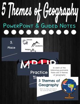
5 Themes of Geography
This product includes a PowerPoint and Guided Notes to introduce students to the 5 Themes of Geography. At the end of the PowerPoint, there is also an activity for students to practice identifying the themes.
Grades:
5th - 8th

Chapter 4 Helpful Geographic Tools Guided Notes
These are Guided Notes that I created for Chapter 4 of Gallopades Ohio 5th Grade Social Studies book.
Subjects:
Grades:
5th
Types:
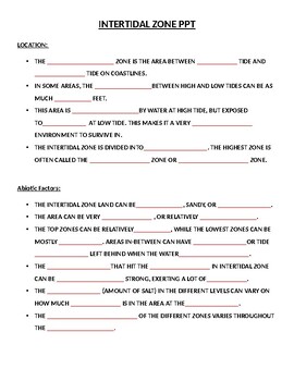
Intertidal Zones of the Marine Biome Guided Notes Handout
This two page word document is a FREE guided notes handout that accompanies my Intertidal Zones of the Marine Biome PPT lesson. Students follow along with the lesson by filling in the missing words (colored red) from the informational slides.To purchase my Intertidal Zones of the Marine Biome PPT lesson, check my profile- Semenko Super Science.
Subjects:
Grades:
4th - 10th
NGSS:
MS-LS2-2
, MS-LS2-4
, MS-LS2-1
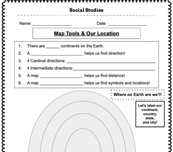
Map Tools and Our Location
Use this graphic organizer to cover basic map tools and for students to identify their continent, country, state, and city!
Subjects:
Grades:
2nd - 6th
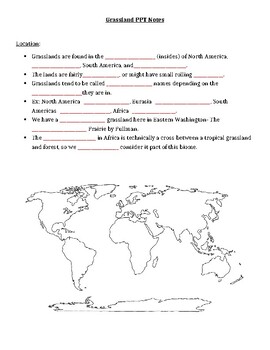
Grasslands Guided Notes Handout
This two page word document is a FREE guided notes handout that accompanies my Grasslands PPT lesson. Students follow along with the lesson by filling in the missing words (colored red) from the informational slides. The students also document the location of the Grasslands by shading-in the map on the first page of the handout. To purchase my Grasslands PPT lesson, check my profile- Semenko Super Science.
Subjects:
Grades:
4th - 10th
NGSS:
MS-LS2-2
, MS-LS2-4
, MS-LS2-1
Also included in: Terrestrial Biomes PPT Bundle
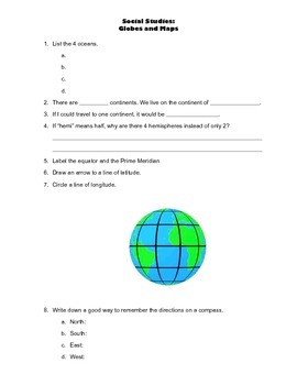
Maps Introduction: notes page
Fill-in-the-blank notes page for students to record information about globes and maps. Includes spaces for students to list the 4 oceans, 7 continents and label a globe with important lines of Latitude and Longitude.
Subjects:
Grades:
4th - 5th
Types:
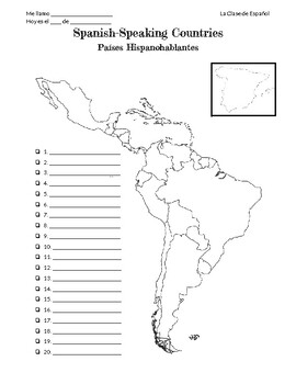
Spanish-Speaking Countires & Capitals Notes
This is a quick and easy reference sheet for students to take notes on when learning the names of the 20 Spanish-speaking countries, their capitals, and where they're located.If you prefer a copy of the Google Doc to be able to edit, feel tree to send me a message!
Subjects:
Grades:
5th - 8th
Also included in: Spanish-Speaking Countries and Capitals Bundle
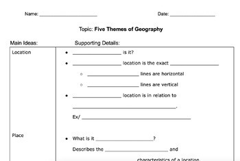
5 Themes of Geography - Guided Two Column Notes
Guided notes to help support students take notes for the five themes of geographyOption for summary writing at end
Subjects:
Grades:
5th - 6th
Types:
CCSS:
Showing 1-24 of 47 results


