16,929 results
Not grade specific geography independent works
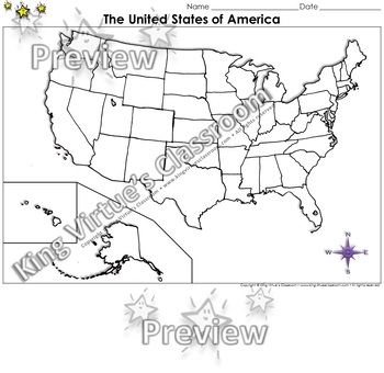
The United States of America Map - Blank - Full Page - King Virtue's Classroom
The United States of America Map - State Lines - Blank - Full Page - King Virtue's ClassroomWorking on your unit on Map Skills? This map is the perfect resource for you! Use it to review The United States of America with your students.This set includes:1 map sheetEnjoy!:)Copyright © King Virtue’s Classroom • www.kingvirtuesclassroom.com • All rights reserved.
Grades:
Not Grade Specific
Types:
Also included in: Social Studies MegaBundle - King Virtue's Classroom
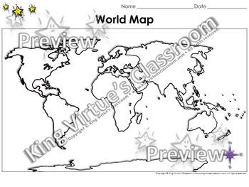
World Map: Continents and Oceans - Blank - Full Page - King Virtue's Classroom
World Map: Continents and Oceans - Blank - Full Page - King Virtue's ClassroomWorking on your unit on Map Skills? This map is the perfect resource for you! Use it to review the 7 continents and 5 oceans with your students.This set includes:1 map sheetEnjoy!:)Copyright © King Virtue’s Classroom • www.kingvirtuesclassroom.com • All rights reserved.
Grades:
Not Grade Specific
Types:
Also included in: Social Studies MegaBundle - King Virtue's Classroom
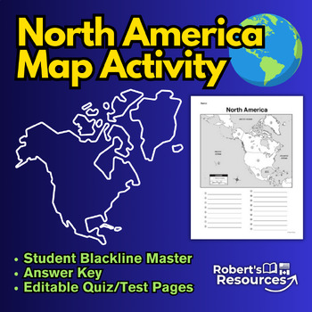
North America Map Activity
North America Map Activity: Explore & Identify the Countries of North AmericaIn this engaging North America map activity, students embark on a journey to discover and identify countries within the North American continent, and, if desired, their respective capital cities. Students can also color in their maps when completed to help reinforce their understanding as well as develop their mapping skills. This printable North America worksheet is a great educational tool for students of all ages
Subjects:
Grades:
Not Grade Specific
Types:
Also included in: Map Activity Bundle
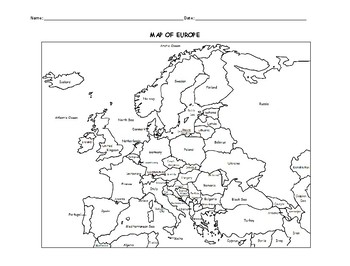
MAP OF EUROPE PRINTABLE COLORING PAGE WITH COUNTRIES
This black and white printable map of Europe includes all 51 countries. Print and Go! Great for reference or to print and color and learn. List of countries included: Albania, Andorra, Armenia, Austria, Azerbaijan, Belarus, Belgium, Bosnia and Herzegovina, Bulgaria, Croatia, Cyprus, Czech Republic, Denmark, Estonia, Finland, France, Georgia, Germany, Greece, Hungary,, Iceland, Ireland, Italy, Kazakhstan, Kosovo, Latvia, Lithuania, Luxembourg, Macedonia, Malta, Moldova, Monaco, Montenegro, Nethe
Subjects:
Grades:
Not Grade Specific
Types:
The 5 Regions of the United States | GAMES Bump Bundle
Want your kids to master the states, capitals, or abbreviations, but short on prep time? These differentiated games make learning the content a breeze with very little effort. Grab some paperclips and connecting cubes, press print, and you’re ready! ⭐⭐⭐⭐⭐⭐⭐⭐⭐⭐⭐⭐⭐⭐⭐⭐⭐⭐⭐⭐⭐⭐⭐⭐⭐⭐⭐⭐⭐⭐⭐⭐⭐⭐⭐⭐⭐⭐Teachers rave about these games!❤️"These are AWESOME!!! The perfect way to study states and capitals with my 4th graders. They're engaged, they love it, it's hands on, AND I can send it home as a fun study guide
Subjects:
Grades:
Not Grade Specific
Types:
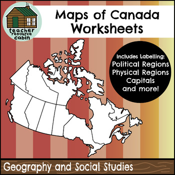
Political and Physical Map of Canada for Students to Label and Colour (10 Maps)
This resource contains 10 worksheets of maps of Canada to support students as they learn to identify and locate all of the provinces, territories, physical regions, and capitals of Canada. This resource is made for 8.5"x11" paper, but could be resized using printer settings to accommodate larger paper. This product contains an ANSWER KEY.Map Worksheets Included:Political map of Canada (Provinces/Territories) with no title and blank legend template.Political map of Canada (Provinces/Territories)
Grades:
Not Grade Specific
Types:
Also included in: Grade 4 Ontario Social Studies Workbook Bundle
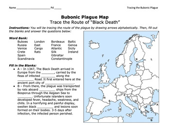
Bubonic Plague "Trace the Black Death" Map Activity 2.0 / Medieval Europe
This is a fantastic map activity to teach students characteristics of the Black Death as well as the routes along the Silk Route and sea trade routes that the Plague travelled along. Like "connect the dots," students will fill out a map, trace the plague, and answer essential questions. A key is provided.CLICK HERE for a primary source assignment on the Bubonic Plague.©Founding Fathers USA. All rights reserved by Founding Fathers USA. This product is to be used by the original downloader only. A
Subjects:
Grades:
Not Grade Specific
Types:
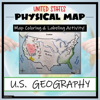
US Physical Map Activity- Label and Color US Physical Features!
This US Geography Map Activity is a MUST for students who are learning about the physical features of the United States! Students will identify, label, and color important geographic elements throughout the country. Directions for labeling and coloring is provided. A completed and colored map is provided for reference, but this map can be completed using a textbook or online resource as well. This is a creative and engaging way of supplementing lessons on geography, topography, and the history
Grades:
Not Grade Specific
Types:
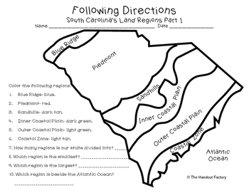
South Carolina's Land Regions- Following Directions Activities
Do you want your students to practice following directions and learn about South Carolina's land regions at the same time?!?! If so, these maps are for you!
This download includes two maps. On the first map, your students will color each region in a specific color. Your students will also answer a few questions about the map. On the second map, your students will draw certain characteristics inside each region. Example: Draw 3 mountains in the Blue Ridge.
This activity is a part of my So
Subjects:
Grades:
Not Grade Specific
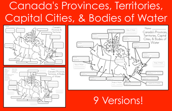
Mapping Canada's Provinces, Territories, Capital Cities, & Bodies of Water
This product includes nine map versions! There are three different types of maps, and each type has three different levels of difficulty designed to meet the needs of all your students!Map #1 - Students must label all of the provinces and territories of Canada.Version 1 - Fill in the blanksVersion 2 - First letter clue givenVersion 3 - Trace over the lettersMap #2 - Students must label all of the provinces, territories, and five bodies of water of Canada. *Word bank provided*Version 1 - Fill in
Subjects:
Grades:
Not Grade Specific
Types:
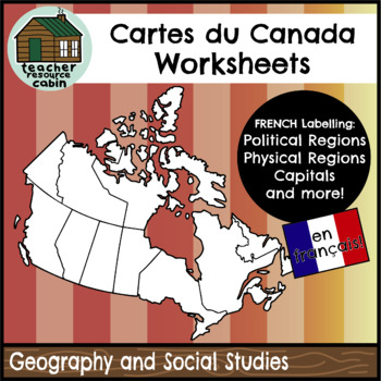
FRENCH Cartes du Canada | Maps of Canada to Label and Colour (10 Maps)
This resource contains 10 worksheets of maps of Canada in FRENCH to support students as they learn to identify and locate all of the provinces, territories, physical regions, and capitals of Canada in French.This resource is made for 8.5"x11" paper, but could be resized using printer settings to accommodate larger paper. This product contains an ANSWER KEY.Map Worksheets Included:Carte politique du Canada (Political map of Canada) (Provinces/Territories) with no title and blank legend template.C
Subjects:
Grades:
Not Grade Specific
Types:
Also included in: MEGA BUNDLE: Grade 4 Ontario FRENCH Social Studies Full Units
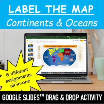
Label the Map - Continents and Oceans | Google Slides™ Drag & Drop Activity
Let your students have fun labeling Earth’s 7 continents and 5 oceans with this interactive mapping Google Slides™ Drag & Drop Activity. The digital resource comes with 6 different assignments all-in-one, as well as two different color schemes. The activity is designed for Google Classroom users, but can ALSO be downloaded, printed and used as a handout in the classroom. Pick and choose what best serves your classroom. Click HERE if you want a cut and paste version of the same activity with
Subjects:
Grades:
Not Grade Specific
Types:
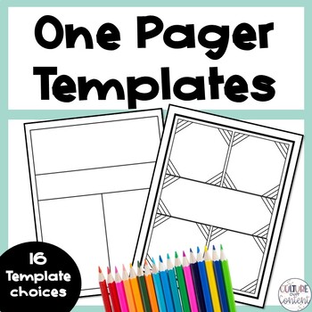
One Pager Templates
Give your students to opportunity to respond to what they have learned in a creative way with one pagers! This product includes 16 one pager templates that are perfect for students who haven't never completed a one pager before, or students who are unsure how to create their own one pager layout. Here's what you'll get:16 one pager templatesGreat to use for:♦ In-unit activity♦ Formative assessment♦ Summative assessment ___________________________________Copyright © Culture Over Content.Permissi
Grades:
Not Grade Specific
Types:
Also included in: Classroom Culture Toolkit
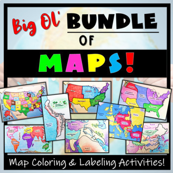
Big Bundle of Map Activities! Color & Label US, World, Conflict Maps & More!
Humans love coloring- tap into your students' interests and apply it to your Social Studies and Geography lessons! 21 different map activities are available and cross many different social studies topics- like American History or Ancient Civilizations. All maps are completely student-centered and act as a great supplement to their learning. These are great to have on hand for homework assignments, independent student work days, to enhance geographical knowledge, and to include in your emergen
Subjects:
Grades:
Not Grade Specific
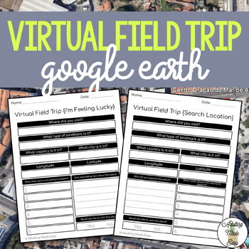
Virtual Field Trip {Google Earth} Extension Worksheets
TAKE A FIELD TRIP AROUND THE WORLD WITHOUT LEAVING THE CLASSROOMThese extension worksheets were made for use with Google Earth™. This resource is not affiliated to Google, intended for adapted classroom use! Great for elearning opportunity! Also comes with editable Google Forms™ versions for distance learning!This comes with:{SEARCH LOCATION} WORKSHEET: This is a perfect extension activity for many different types of lessons such as a history or geography lessons where you have a specific locat
Grades:
Not Grade Specific
Types:
Also included in: Life Skills Spring Bundle
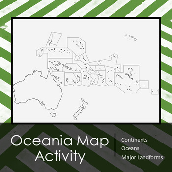
Oceania (Australia | Pacific Islands) Map Activity and Lesson Plan
Includes outlined map of Oceania for students to complete. On the backside of the map there is a list of major items that students should be able to identify and label on the map including, but not limited to:Key with compassBodies of waterCountriesTerritories3 regions of Oceania (Melanesia, Micronesia, & Polynesia [with Hawaii!])I have also included my lesson plan for how I use this in my classroom, including Bell Work, introduction of the map and a list of important physical / political fe
Grades:
Not Grade Specific
Types:
Also included in: World Map Labeling Activity Bundle
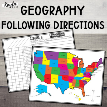
Speech Therapy Following Directions: USA Map (Geography)
This resource is a hands-on following directions activity for elementary, middle, and high school students. This could be used for speech-language therapy or as a special education activity to tie in USA geography concepts with therapy goals. It's recommended for students in 1st grade and above.**UPDATED 06/20/22** The entire product has been updated! It now includes improved graphics, easy-to-read fonts, updated following directions/concepts tasks, and an improved group data collection system.
Subjects:
Grades:
Not Grade Specific
Types:
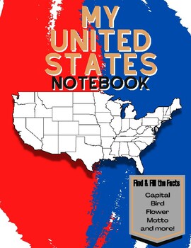
My 50 States NoteBook: Learn and Fill the Facts!
This is a workbook that helps children journey through the 50 states, learning all the facts in each state. There is a page for every state where the child fills in these facts:-Capital-Date Founded-Abbreviation-Bordering States-Motto-Famous Person-State Bird-State Flower- Fun FactsWhen they are done, they find the state on the map and color in its location. This is a fun interactive way to learn all the information about the 50 states. When they are done they will have completed a wonderful not
Grades:
Not Grade Specific
United States: States & Capitals Matching Game
States & Capitals Matching Game is a favorite among students! Students enjoy the game while mastering the memorization of each state's capital.Cards are included for each of the 50 states and capitals. Color in the state for extra fun!I would greatly appreciate your feedback and hope you will follow my store for additional products! New products are being added daily.
Grades:
Not Grade Specific
Types:
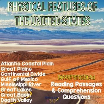
Physical Features of the US- Reading Passages for Geographic Landforms Bundle
In this resource, there is a nonfiction reading passage based on the geographic features & landmarks of the Great Plains, Great Basin, Atlantic Coastal Plain, St. Lawrence River, Great Lakes, Death Valley, Continental Divide, Man-made features (Boston, NYC, Philadelphia, Lake Erie), and the Gulf of Mexico. It is differentiated for your high, mid, and lower level students as you study the geography of the United States. Integrate social studies content with your reading texts and meet each re
Subjects:
Grades:
Not Grade Specific
Types:
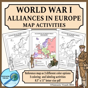
Alliances of World War I in Europe Map Activities
These Alliances of World War I in Europe Map Coloring and Labeling Activities are designed to give the students an overview of the participating countries and alliances of the First World War in Europe. The product includes 3 US letter size map activities for different ability levels and learning targets and a reference map as two differently colored versions. This product includes the following worksheets and reference maps:- blank map of Europe with instructions for labeling the countries and
Grades:
Not Grade Specific
Types:
State by State Learn the USA THE BUNDLE Worksheets
Are you a history, social studies, geography or even ESL teacher? If so, this bundle is for you! It is perfect to teach both native English speakers and ESL students about all 50 states. Containing a one-page profile for each state, the possible uses are endless . . . a list of ideas is included in the resource :)If you teach history, social studies, or geography to native English-speaking students:•This bundle is a wonderful compliment to any unit on the United States. If you teach ESL student
Subjects:
Grades:
Not Grade Specific
Types:
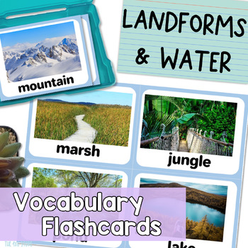
Landforms and Bodies of Water Vocabulary Flashcards with Real Pictures
Are you looking for landform and bodies of water flash cards with realistic pictures or photos for your students? Do you find clipart flashcards unappealing to your older or adult English leaners?These 28 realistic flash cards work perfectly for English language learners, speech therapy students, students with special needs, and more! Give your students REAL, context-driven learning experiences that provide plenty of opportunity for all kinds of extended conversations and discussions.All flash
Subjects:
Grades:
Not Grade Specific
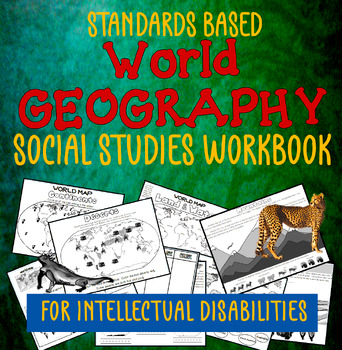
Social Studies Workbook: World Geography for SPED & Intellectual Disabilities
This is a stand-alone workbook that teaches students standards-based (Social Studies) Geography. It covers many geography standards through the 5th grade and is tailored to students labeled as having “intellectual disabilities”. The workbook attempts to ‘teach’ the concepts through repetition. It is also designed to support the teacher as much as possible: there is NO PREP necessary. Please take a minute to check out the PREVIEW. It shows you every page in this workbook; you'll be able to determ
Grades:
Not Grade Specific
Showing 1-24 of 16,929 results


