3,651 results
Geography homework for Microsoft Word
Central America and the Caribbean Mapping Activity
This product is a mapping activity on the region of Central America and the Caribbean. Students will label and color 26 different countries and territories as well as draw and label major physical features. When students have completed the map they will then answer 10 questions based on their map.This product also contains a blackline political maps of the region. I typically make the map a 11x17 making it easier for students to label countries and physical features.This is a rigorous map projec
Grades:
6th - 12th
Types:
Also included in: Geography Mapping Activities BUNDLE
Latin America Mapping Activity
This product is a mapping activity on the region of Latin America. Students will label and color 24 different Latin American Nations as well as draw and label major physical features. When students have completed the map they will then answer 9 questions based on their map.This product also contains a blackline political map of Latin America. I typically make the map a 11x17 making it easier for students to label countries and physical features.This is a rigorous map project that makes the stude
Grades:
6th - 12th
Types:
Also included in: Geography Mapping Activities BUNDLE
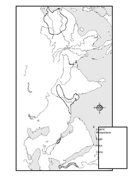
Ancient River Valley Civilizations Mapping Activity Worksheet
This mapping activity is on the Ancient River Valley Civilizations. Ancient River Valley Civilizations Mapping Activity includes explicit instructions on how to complete the map as well as questions based on the map along with knowledge based questions Ancient River Valley Civilizations.Students will label and color different aspects of Ancient River Valley Civilizations such as; cities, seas, important physical features and shade the area for each of the four main River Civilizations. This map
Subjects:
Grades:
6th - 12th
Types:
Also included in: Historical Mapping Activities BUNDLE
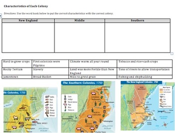
Compare&Contrast 13 Colonies (New England, Southern, & Middle) Pamphlet Project
This is an amazing lesson/project to help students differentiate between the 3 groups of colonies--New England, Middle, and Southern. Student's final project will be a pamphlet where each fold explains a different group of colonies.
Included in this lesson:
1) Do now--naming the 13 colonies on a map, latitude and longitude fill in the blank, and a determining century question.
2) Graphic organizer where students have to put 12 different characteristics into the correct box (New England, South
Grades:
6th - 12th
Types:
CCSS:
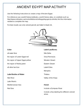
Ancient Egypt Map Activity
This document includes instructions and a blank map of Egypt. Students will use resources such as textbooks, atlases, or the internet to complete the map. Students will color the map, then label certain cities, bodies of water, and landforms. This activity combines geography and mapping skills and ancient history.
Grades:
5th - 8th
Types:
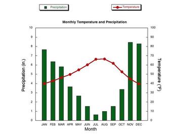
Climographs Lesson and Activity
This product teaches students how to read and analyze climographs. Then this product has students create their own climograph from the data provided. Finally, students analyze three climographs to answer questions. This is a create lesson that can be taught in one period and/or used for homework.Check out the preview to see this excellent product.Thanks for stopping by!You may also be interested in these lessons:Population Pyramids Lesson and ActivityDemographic Transition Model (DTM) Lesson
Grades:
6th - 12th
Types:
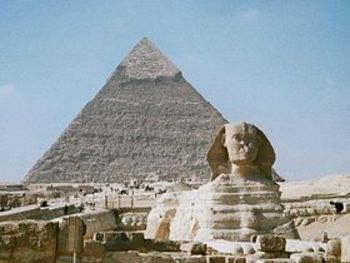
North Africa, Southwest Asia & Central Asia Mapping Activity
This product is a mapping activity on the regions of North Africa, Southwest Asia & Central Asia. Students will label and color 26 different nations as well as draw and label major physical features. When students have completed the map they will then answer 10 questions based on their map.This product also contains a blackline political map of of the region. I typically make the map a 11x17 making it easier for students to label countries and physical features.This is a rigorous map project
Grades:
6th - 12th
Types:
Also included in: Geography Mapping Activities BUNDLE
United States Mapping Activity
This product is a mapping activity over the United States of America. Students will label the 50 states as well as draw and label major physical features. When students have completed the map they will then answer 6 questions based on their map.This product also contains a blackline political map of the United States of America. I typically make the map 11x17 making it easier for students to label and draw the physical features.This is a rigorous map project that makes the students learn the 50
Grades:
6th - 12th
Types:
Also included in: Geography Mapping Activities BUNDLE
Canada Mapping Activity
This product is a mapping activity over Canada. Students will label and color Canadian provinces and territories as well as draw and label major physical features. When students have completed the map they will then answer 5 questions based on their map.This product also contains a blackline political map of Canada. I typically make the map 11x17 making it easier for students to label and draw physical features.This is a rigorous map project that makes the students learn about Canada and its phy
Grades:
6th - 12th
Types:
Also included in: Geography Mapping Activities BUNDLE
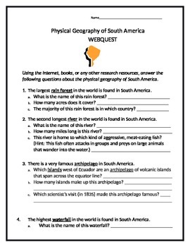
Physical Geography of South America Webquest (Answer Key Included!)
Students will utilize the Internet or any other resources on hand to research the many amazing geographic features of South America! Concepts covered include rainforests, deserts, volcanoes, archipelagos, etc. Answer key included! This document is in Word format, so you can modify it to suit your own needs.
Subjects:
Grades:
5th - 10th
Types:
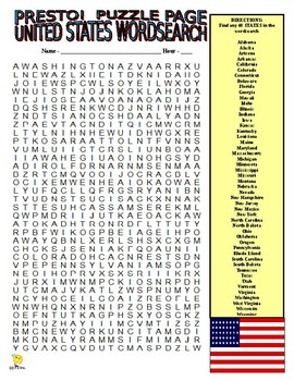
50 US States Puzzle Page (Wordsearch and Criss-Cross / Social Studies / SUB)
PRESTO!This download is for two fun puzzles that will work great as busy work or extra credit!Use one!Use both!Your download includes a WORDSEARCH and CRISS-CROSS GRID that focus on the 50 STATES!Answer key for both puzzles is provided!PRESTO!
Subjects:
Grades:
5th - 8th
Types:
Also included in: SOCIAL STUDIES VOCABULARY PUZZLES SUPER BUNDLE - NO PREP / SUB
Gandhi (1982) Movie Question Guide
This product is a movie question guide for the Oscar winning movie Gandhi which is available on Amazon or YouTube (type in Gandhi 1982 and the full version should be there). I typically start the movie when Gandhi is on the train heading to South Africa. I skip the opening assassination scene because I find this keeps the students’ attention more. Plus I get to watch their shocked faces at the end of the movie when Gandhi gets shot. (Majority of my students, and most likely yours, have no cl
Subjects:
Grades:
6th - 12th
Types:
USA States & Capitals Map Activity / Worksheet - Geography / Civics / US History
The USA States and Capitals Map activity is a worksheet for students to practice their states and capitals. The student must label the map with the correct state name and its capital. State names and capitals are listed on the worksheet, in alphabetical order, for student to use while completing the activity.Enjoy!SharhanStop by enagelearnability.com for more resources.Follow Engage Learnability on social media.Facebook: facebook.com/EngageLearnabilityInstagram: instagram.com/EngageLearnabili
Subjects:
Grades:
3rd - 12th
Types:
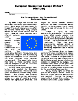
European Union Document Based Questions
Includes an article discussing the creation of the European Union. Includes maps and articles discussing the pros and cons of the European Union for students to analyze. Perfect assignment to see if students demonstrate mastery or for a substitute if you are absent to keep students occupied for an entire period.
Subjects:
Grades:
9th - 11th
Types:
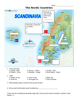
The Nordic Countries Map Activities - Scandanavia, Northern Europe
This file includes three different geography activities for the Nordic Countries of Iceland, Norway, Sweden, Finland, and Denmark. Activities include labeling, latitude/longitude and scale questions. Assignments can easily be given as one packet or individually.
Subjects:
Grades:
5th - 9th
Types:
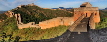
Asia Mapping Activity
This product is a mapping activity on the continent of Asia; including the regions of Monsoon Asia, Southwest/Central Asia and Middle East. Students will label and color 42 different Asian Nations as well as draw and label major physical features. When students have completed the map they will then answer 13 questions based on their map.This product also contains two blackline political maps of Asia. I typically make the map a 11x17 making it easier for students to label countries and physical f
Grades:
6th - 12th
Types:
Also included in: Geography Mapping Activities BUNDLE

Africa Mapping Activity
This product is a mapping activity on the continent of Africa. Students will label and color 54 different African Nations as well as draw and label major physical features. When students have completed the map they will then answer 10 questions based on their map.This product also contains a blackline political maps of Africa. I typically make the map a 11x17 making it easier for students to label countries and physical features.This is a rigorous map project that makes the students learn where
Grades:
6th - 12th
Types:
Also included in: Geography Mapping Activities BUNDLE
Sub-Sahara Africa Mapping Activity
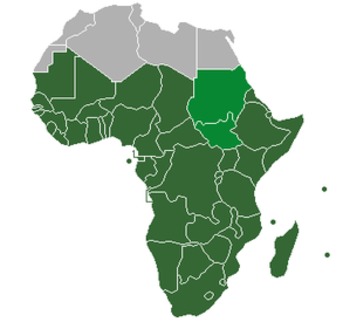
This product is a mapping activity on the region of the Sub-Sahara Africa. Students will label and color 49 different African Nations as well as draw and label major physical features. When students have completed the map they will then answer 10 questions based on their map.This product also contains a blackline political maps of Africa. I typically make the map a 11x17 making it easier for students to label countries and physical features.This is a rigorous map project that makes the students
Grades:
6th - 12th
Types:
Also included in: Geography Mapping Activities BUNDLE
Seven Wonders of the World w/ 10 Comprehension Qs: Main Idea, Details, Map Skill
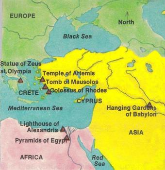
4 Page Minilesson titled "Seven Wonders of the Ancient World." A map is included so students can see where the wonders are located. On a word document, you will get a colorful image of each wonder next to each informational paragraphs. (Some preview/thumbnail pictures came out black-and-white because I was having trouble making them small enough to upload.) Ten literal reading comprehension follow, which assess main ideas, finding details, vocabulary, and map skill. The minilesson will make a g
Subjects:
Grades:
6th - 9th
Types:
Latitude and Longitude Practice Worksheet
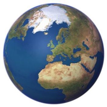
This product is a worksheet to reinforce lessons learned on TODALSIGS, absolute location, using coordinates to locate places, equator, prime meridian, seven continents, four oceans and longitude/latitude lines.Students will label continents, oceans and the major lines of latitude and longitude. Also, students will plot 24 major cities. The product includes a blank map and key.Check out the preview.Thanks for stopping by.
Grades:
6th - 12th
Types:
Jerusalem Old City Map Worksheet (Easy To Use)
This great map activity allows students to examine the major locations and holy sites within Jerusalem. Just download the Jerusalem Old City at the following websitehttp://geoalliance.asu.edu/sites/default/files/maps/Jerusalem.pdfThe main website also has other great historical maps.http://geoalliance.asu.edu/maps/historicalDepending on the age level of your students the Jerusalem Old City Map worksheet will take 10 to 20 minutes to complete. I suggest giving the assignment at the start of class
Subjects:
Grades:
4th - 12th
Types:
Also included in: Crusades Lesson Plan Collection (Bundle)
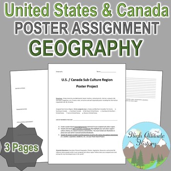
United States and Canada Tourism Culture Region Poster Project (Geography)
Geography: United States & Canada Tourism Sub Culture Region Group work. This is a great project to practice team building, collaboration, and research skills. I use this project as a transition and skill building activity in preparation for my larger Google Earth Project. This poster group work project assigns a specific sub culture region of the United States or Canada and asks students to persuade tourists to visit their region by highlighting activities that encompass their area and s
Grades:
9th - 12th
Types:
Also included in: Geography Best Sellers Bundle
Australian Slang Letter Lesson Plan
Australian Slang Letter Lesson Plan:This is a simple and easy to use lesson plan that my students love. Students will write a letter to a friend using Australian slang about what they did over a two week vacation in Australia. Over 80 Australian slang words are included for students to use and an optional grading rubric is also included for the teacher. This lesson plan is great for a Geography, World History, or English class.This lesson plan is included in my Geography Lesson Plans and Mapping
Subjects:
Grades:
4th - 12th
AP Human Geography: Industry Mapping Activity
This AP Human Geography (APHG) project is a great way to have a hands on activity. Students learn about a country's GDP and major exports with this activity. Aligns with AP objectives about development, industry, services, and globalization. It also builds student skills with mapping and map analysis. This activity will also work for any global studies or economics course.The table is full of data. Data just not visible on preview.Images and information borrowed from other sources include citati
Grades:
9th - 12th
Types:
Also included in: AP Human Geography Full Year Bundle - Lectures, Assessments, Strategies
Showing 1-24 of 3,651 results


