143 results
Preschool geography homework
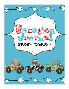
My Vacation Journal: student homework while away
When students go on vacations during the school year, parents often ask for their homework in advance. But let's be honest: who plans their lessons that far ahead of time?
Instead of sending a bunch of worksheets with my students, I send this vacation journal. It is an authentic way for students to work on geography, math, writing, and art. At the end of the trip, it is a great keepsake for families.
This travel journal saves me so much time, plus - kids and families love it!
It includ
Subjects:
Grades:
PreK - 5th
Types:
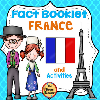
France Fact Booklet and Activities | Nonfiction | Comprehension | Craft
France - the smell of warm croissants and Eiffel Tower! Your kids will have a fantastic time learning about French traditions. Engaging activities with a French flair are included in this fact booklet!This fact booklet on France is a great resource to use for a research project on countries around the world/Europe with your pre-k/kindergarten class and struggling first graders. Included in this product is a black and white informational book about France that can be used for independent reading
Subjects:
Grades:
PreK - 1st
Also included in: Countries Fact Booklet Bundle | Crafts | Comprehension | Writing
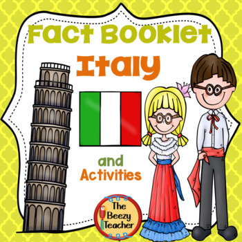
Italy Fact Booklet and Activities | Nonfiction | Comprehension | Craft
The activities in this fact booklet have been carefully selected to capture the interest of young learners. And who can resist the Leaning Tower of Pisa and the smell coming from the kitchen of charming pizza bakers? The pages in this engaging fact booklet contain basic facts and related illustrations that are perfect for coloring.This fact booklet on Italy is a great resource to use for a research project on countries around the world/Europe with your pre-k/kindergarten class and struggling fir
Subjects:
Grades:
PreK - 1st
Also included in: Countries Fact Booklet Bundle | Crafts | Comprehension | Writing
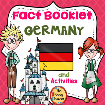
Germany Fact Booklet and Activities | Nonfiction | Comprehension | Craft
This fun fact booklet is perfect to use for an around the world unit. As your students work through this booklet, they will learn about special landmarks in Germany and football - the world’s most popular ball sport. The included activities enable students to explore magical fairy tale castles and the delicious smell of pretzels!This fact booklet on Germany is a great resource to use for a research project on countries around the world/Europe with your pre-k/kindergarten class and struggling fir
Subjects:
Grades:
PreK - 1st
Also included in: Countries Fact Booklet Bundle | Crafts | Comprehension | Writing
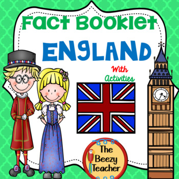
England Fact Booklet and Activities | Nonfiction | Comprehension | Craft
In this fact booklet, students will learn key information about England. It includes a range of engaging activities such as drawing the famous landmark the London Bridge, and a red double-deck bus activity. There is a cute Padding bear craft - your students will just love the bear!This fact booklet on England is a great resource to use for a research project on countries around the world/Europe with your pre-k/kindergarten class or with your struggling first graders. Included in this product is
Subjects:
Grades:
PreK - 1st
Also included in: Countries Fact Booklet Bundle | Crafts | Comprehension | Writing
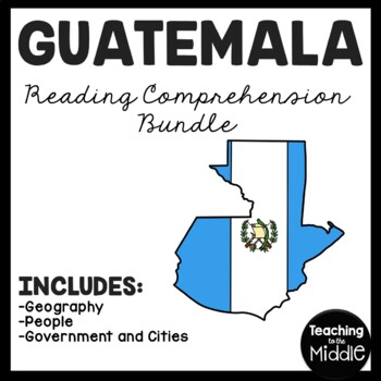
Guatemala Reading Comprehension Worksheet Bundle Country Central America
This passage has three articles related to Guatemala: People, Government and Cities, and Geography. I've included a color and black and white version of each product, as well as the key. Each individual listing has more information and previews. Great for a quick study of Guatemala! INCLUDES:PeopleGeographyGovernment and Cities*I do my best to make sure I do not have typos, but occasionally they slip through. PLEASE message me and I will correct it quickly to ensure my product meets your ex
Subjects:
Grades:
PreK - 7th
Types:
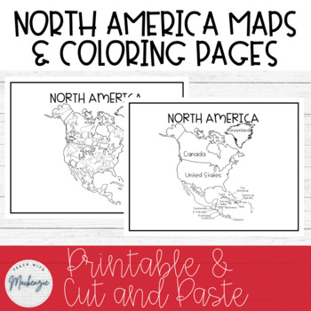
North America Maps and Coloring Sheets | Black and White | Printable
North America Maps and Coloring Sheets | Black and White | Cut & Paste | PrintableThese black and white North America worksheets can be printed off and copied for students to color, cut and paste, and reference. Due to the black and white simple colors, students can also color in the maps and worksheets to their liking. They can also be used for a map in your modern classroom. The first page is a map of North America with countries labeled. The second page is a coloring page with common Nort
Grades:
PreK - 8th
Types:
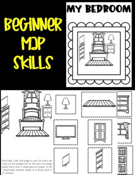
Beginner Map Skills: My Bedroom
With this activity set, learners can create their own bedroom. During my Beginner Map Skills Class for 3-6 year olds, we discuss our bedroom and where things are located using directional words. This is an activity set I have used in the classroom and the students love completing to show off their skills in class. Students get to cut and paste items they might find in their bedroom or design their own. This set includes an example of a bedroom for students to see how to piece together the images
Grades:
PreK - 2nd
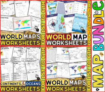
World Map Worksheets | Continents and Oceans Blank Map | 1st to 12th Grade
⭐⭐⭐⭐⭐Kids enjoy studying about the world in which they live! With the help of these entertaining printable Continents and Oceans Worksheets, they will love learning about the seven continents and the corresponding geography. For students in kindergarten, first grade, second grade, third grade, fourth grade, fifth grade and sixth grade utilize these worksheets on continents and oceans. After printing the Continents and Oceans Worksheets pdf, you can begin learning and having fun.These printable W
Grades:
PreK - 9th
Types:
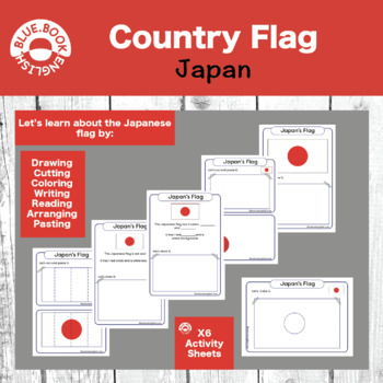
Japan Flag Activity / Japanese Flag Craft
Help your students learn about, interact with, manipulate, and answer questions about the country flag.Many options for differentiation and fun activities to help your students remember what the country's flag looks like.Cover shapes, colors, and numbers while you examine the flag together as a class. It makes for a fun craft, homework, or in class assignment.
Subjects:
Grades:
PreK - 2nd
Types:
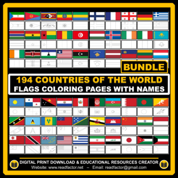
BUNDLE Countries of the World Flags Coloring Pages with Names
Let your kids or your class students Have fun learning about the countries of the world with these flags coloring pages with Name (194 FLAGS).We really appreciate you purchasing our digital resources and we hope you'll enjoy using them.Please FOLLOW US if you'd like to receive notifications when we upload new products and freebies.DOWNLOAD. PRINT. DONE!RATING AFTER DOWNLOADING IS VERY APPRECIATED.
Grades:
PreK - 6th
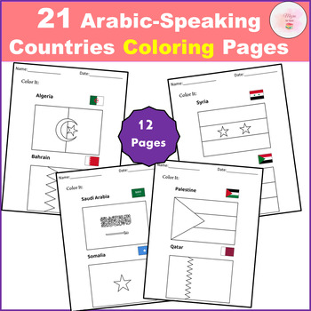
21 Arabic-Speaking Countries Coloring Pages - Flag
Discover the perfect educational tool with our "21 Arabic-Speaking Countries Coloring Pages FLAGS"! Designed to engage young minds, these pages solve the problem of learning geography and cultural awareness in a fun, interactive way. Empower children to recognize and appreciate the flags of all 21 Arabic-speaking countries through creative coloring.This clip art set contains 21 Arabic-Speaking Countries black and white line artAll the world flags you'll need, conveniently bundled in one pack.Th
Subjects:
Grades:
PreK - 12th
Types:
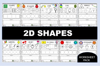
Funny 2D Shapes Bundle
We spotted you all love our Funny 2D shapes. Now we make a bundle for them. If you want you can get all of the shapes cheaper!
Subjects:
Grades:
PreK - K
Types:
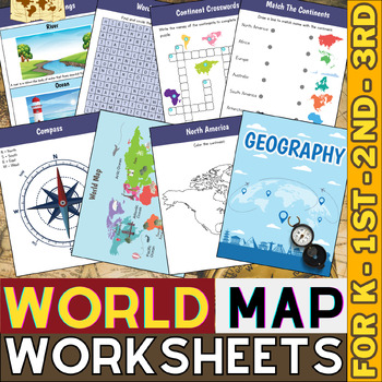
World Map Skills Worksheets | Continents and Oceans | Geography Activities
This printable page pack featuring the seven continents is an excellent tool for honing geography skills. These continents and oceans worksheet pdf will make learning about the seven major continents enjoyable for students. Utilize these maps with kindergarten, first, second, third, fourth, fifth, and sixth grade elementary students as an additional practice or as part of a social studies unit.These No prep worksheets, which teach students some fascinating facts about each continent along with p
Grades:
PreK - 4th
Types:
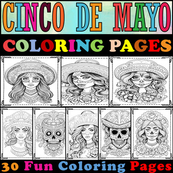
Cinco De Mayo Coloring Pages|Cinco De Mayo Coloring Sheets|For all the princesse
"This collection of pages is crafted to commemorate Cinco de mayo, delve into Mexican culture, and highlight your princess's artistic talents through coloring." ▸ 30 Cinco De Mayo Coloring Pages.Total Pages "30".A4 paper (210 x 297 mm).Black & White.High-resolution images.
Subjects:
Grades:
PreK - 10th
Types:
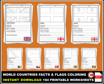
BUNDLE World Countries Facts Activity and Flags Coloring - 194 Worksheets
Help your students discover more about the Countries of the World using this information, facts template, and flags coloring. (Perfect for geography lessons).DOWNLOAD. PRINT. DONE!RATING AFTER DOWNLOADING IS VERY APPRECIATED.
Subjects:
Grades:
PreK - 6th
Types:
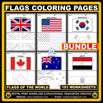
Flags of the World BUNDLE Coloring Pages - 193 Worksheets
Let your kids or your class students Have fun learning about the countries of the world with these flags coloring pages with Name (193 FLAGS).We really appreciate you purchasing our digital resources and we hope you'll enjoy using them.Please FOLLOW US if you'd like to receive notifications when we upload new products and freebies.DOWNLOAD. PRINT. DONE!RATING AFTER DOWNLOADING IS VERY APPRECIATED.
Subjects:
Grades:
PreK - 6th
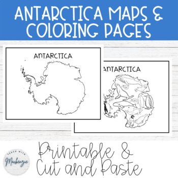
FREE Antarctica Maps and Coloring Sheets | Black and White | Printable
Free Antarctica Maps and Coloring Sheets | Black and White | Cut & Paste | PrintableThese black and white Antarctica worksheets can be printed off and copied for students to color, cut and paste, and reference. Due to the black and white simple colors, students can also color in the maps and worksheets to their liking. They can also be used for a map in your modern classroom. The first page is a map of Antarctica. The second page is a coloring page with common animals of Antartica. The third
Grades:
PreK - 8th
Types:
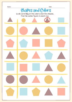
Preschool Shape Tracing, Basic Shape Tracing, Shape Tracing Worksheets,33pages
Preschool Shape Tracing, Basic Shape Tracing, Shape Tracing Worksheets, Printable Shape Worksheets, Homeschool Worksheets, KindergartenPrintable Shape,Preschool Shape Tracing, Basic Shape Tracing, Shape Tracing Worksheets, Printable Shape Worksheets, Homeschool Worksheets, Kindergarten, 8.5x11,PDF Format 33pages
Subjects:
Grades:
PreK - 4th
Types:
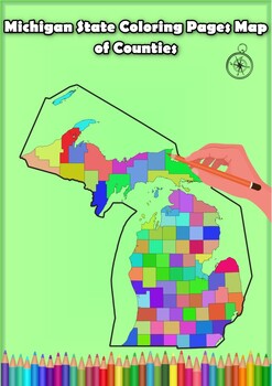
Michigan State Coloring Pages Map of Counties Highlighting Rivers Lakes Cities
Click Here>>> for more interactive resourcesMichigan State Coloring Pages Map of Counties Highlighting Rivers Lakes CitiesOpen your mind to Michigan colorful adventure with these exciting coloring pages! Explore and bring each Michigan county to life with these detailed and engaging illustrations. Each page offers a unique opportunity to explore Alabama's geography, highlighting its rivers, lakes, and key towns.These coloring pages are ideal for anyone interested in discovering the bea
Grades:
PreK - 12th, Higher Education
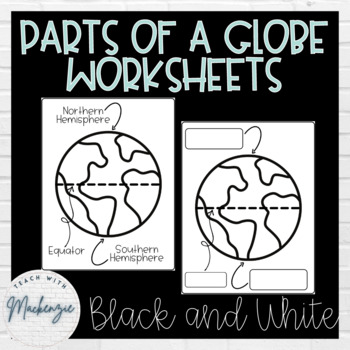
Parts of a Globe Worksheets | Printable | Black and White
Parts of a Globe Worksheets | Printable | Black and WhiteThese black and white worksheets can be printed off and copied for students to fill in the missing labels for the parts of the globe. Due to the black and white simple colors, students can also color in the globes to their liking. The parts of the globe that are labeled are: Northern Hemisphere, Southern Hemisphere, North Pole, South Pole, Equator, Prime Meridian, Western Hemisphere, and Eastern Hemisphere.This download includes:6 PDF File
Grades:
PreK - 3rd
Types:
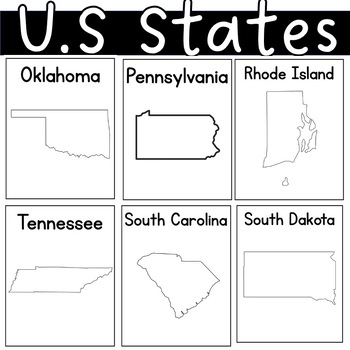
US state United States of America Outline Worksheets Posters Coloring Sheet
I had students illustrate the charateristics of each state. By the end of our unit, each student had their self-made posters. I also added some black pages with only the state's name.
Grades:
PreK - 12th, Higher Education, Adult Education
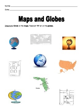
Maps and Globes
Students will identify the difference between a map and globe by circling all the map and placing an X on all the globes. The students will also identify the water and land on a globe.
Subjects:
Grades:
PreK - K
Types:
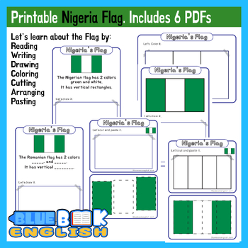
Nigeria Flag Activity | Nigerian Flag Craft Differentiated (6 Pages)
Help your students learn about, interact with, manipulate, and answer questions about the Nigerian country flag.Many options for differentiation and fun activities to help your students remember what the country's flag looks like.Cover shapes, colors, and numbers while you examine the flag together as a class. It makes for a fun craft, homework, or in class assignment.***Notes***Digital download only.***Whats Included*** PDF version ***Whats Needed***Scissors (optional)Crayons, markers, or paint
Subjects:
Grades:
PreK - 2nd
Types:
Showing 1-24 of 143 results


