263 results
10th grade geography guided reading book activboard activities
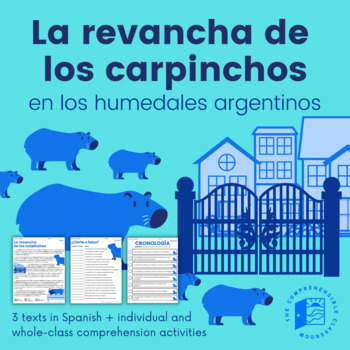
Capybaras' Revenge (Current Events) - 3 versions + activities in Spanish
La revancha de los carpinchos is a current event from 2021 in the suburbs of Buenos Aires, Argentina. Due to habitat loss, capybaras have invaded private, gated communities in search of food. But, who are the real invaders?This resource features three versions of La revancha de los carpinchos, all written in Spanish: Básico, Intermedio, and Avanzado. The Básico text will be a good fit for students that are nearing the end of their first year of Spanish, particularly students that have completed
Subjects:
Grades:
7th - 12th, Higher Education
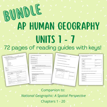
BUNDLE: AP Human Geography Units 1-7 Reading Guides - A Spatial Perspective
This bundle includes all reading guides, covering Units 1 - 7 from the National Geographic AP Human Geography: A Spatial Perspective textbook (Chapters 1 -20). 72 PAGES! This serves as a comprehensive companion to the textbook asking students to complete basic tasks such as defining and listing as well as answering close reading questions that require them to practice FRQ task verbs. KEYS INCLUDED!
Subjects:
Grades:
9th - 12th
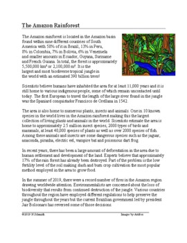
Amazon Rainforest Reading on Geography, Environment, Biodiversity (ENGLISH)
This 3-page file includes:~A reading on the Amazon rainforest. It discusses its location, plant and animal biodiversity, human habitation, European exploration and current problems including the fires of the summer of 2019.~A reading comprehension page with eight questions.~Answer key.Ideal for lessons on Latin American geography, and environmental issues.
Grades:
7th - 10th
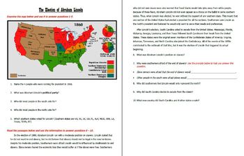
The Importance of Geography in Civil War Battles - Close Reading and Stations
Students analyze a series of maps, pictures and short reading passages to understand how geography affected the Battles of Fort Sumter, Antietam, Vicksburg and Gettysburg. There are also maps and reading passages dedicated to the election of Abraham Lincoln and the Emancipation Proclamation. After analyzing a map and reading passage, students answer guided questions. Some questions include a writing prompt or question stem to help students formulate correct answers. This is a strategy I use some
Subjects:
Grades:
6th - 12th
Natural Wonders of Hispanic World TOP 12 Readings @40% off! (English Version)
This reading bundle includes my TOP 12 English language readings on Natural Wonders of the Hispanic World at 40% off!Includes 1 Reading each on:1. Machu Picchu -Peru2. Nazca Lines - Peru3. Galapagos Islands - Ecuador4. Iguazu Falls - Argentina5. Tikal - Guatemala + Copán - Honduras: Mayan Ruins6. Panama Canal- Panama7. Salar de Uyuni/Salt Flats - Bolivia 8. Angel Falls - Venezuela9. Costa Rica: Arenal Volcano10. Amazon Rainforest - South America 11. Alhambra - Spain12. Atacama Desert - ChileAll
Grades:
7th - 10th

US History: Complete Curriculum Bundle
Bundle of EDITABLE reading comprehension packets that cover US History material from the Mayflower Compact of 1620 to the outbreak of the Coronavirus/COVID-19 of 2020. Packets all include key information, pictures for visual learners, Multiple choice/DBQ practice, test prep activities and reading comprehension questions with space to answer them right on the page.
Subjects:
Grades:
6th - 11th
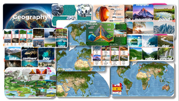
Geography: Editable PowerPoint Slides forTeaching
Geography Volcano-Mountain-pond-desert-beach-glacier-island-ocean-river-hill-valley-waterfall-lake-continent-bay-cave-coral reef-oasis-forest-cliff-mangrove-city-field-iceberg PowerPoint Slides for Teachinginformation and pictures Can play activities during class, increasing interest in learning and teaching of teachers.
Grades:
7th - 12th, Staff

New Deal Discoveries
Goal: Students are to discover New Deal Projects using the Living New Deal website!Students will be assigned locations that they must discover and learn more about. They will update a classroom spreadsheet, along with a guiding questions worksheet!Included:- Spreadsheet- Guiding Questions worksheet- Website link- Slides for review/introducing New Deal organizations
Grades:
9th - 12th
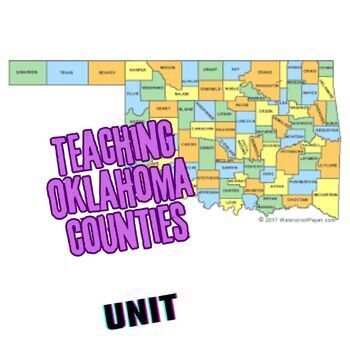
Teaching the Counties of Oklahoma UNIT
Here is everything you need to help your class learn the 77 counties of Oklahoma! Lots of blood, sweat, and tears went into this unit so enjoy simply downloading it instead! Included in this file are:-a Master schedule of short counties quizzes and answer keys, ready for print (I give these to students at the beginning of the semester and have them put them in the front of their 3-ring binder.)-77 images of highlighted counties optimized for a KAHOOT! game (always a big hit!)-Final test answer s
Subjects:
Grades:
9th - 12th
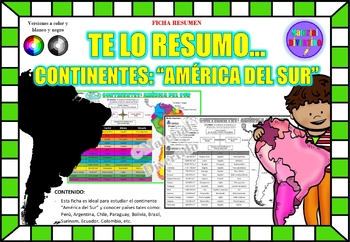
FICHA RESUMEN - Te lo Resumo... "América del Sur" (IMPRIMIBLES) |GEOGRAFÍA|
A sus estudiantes les encantará esta ficha resumen sobre "Los Continentes: América del Sur". Esta hoja incluye pequeños datos del hombre de: Perú, Chile, Argentina, Brasil, Paraguay, Venezuela, etc. Esta hoja resumen es perfecta para revisión, una actividad rápida, un proyecto de investigación, un organizador gráfico, centros, proyectos de toda la clase o proyectos de equipo. Los estudiantes pueden divertirse mientras aprenden todo sobre el continente de América del Sur. ¡Esta hoja resumen es pe
Grades:
PreK - 12th, Higher Education, Adult Education
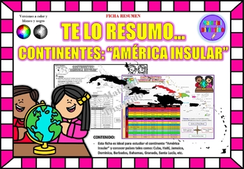
FICHA RESUMEN - Te lo Resumo... "América Insular" (IMPRIMIBLES) |GEOGRAFÍA|
A sus estudiantes les encantará esta ficha resumen sobre "Los Continentes: América Insular (Antillas)". Esta hoja incluye pequeños datos del hombre de: Cuba, Haití, Jamaica, Dominica, Barbados, Bahamas, Granada, Santa Lucía, etc. Esta hoja resumen es perfecta para revisión, una actividad rápida, un proyecto de investigación, un organizador gráfico, centros, proyectos de toda la clase o proyectos de equipo. Los estudiantes pueden divertirse mientras aprenden todo sobre el continente de América In
Grades:
PreK - 12th, Higher Education, Adult Education
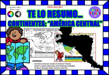
FICHA RESUMEN - Te lo Resumo... "América Central" (IMPRIMIBLES) |GEOGRAFÍA|
A sus estudiantes les encantará esta ficha resumen sobre "Los Continentes: América Central". Esta hoja incluye pequeños datos del hombre de: Guatemala, El Salvador, Honduras, Nicaragua, Belice, Panamá y Costa Rica. Esta hoja resumen es perfecta para revisión, una actividad rápida, un proyecto de investigación, un organizador gráfico, centros, proyectos de toda la clase o proyectos de equipo. Los estudiantes pueden divertirse mientras aprenden todo sobre el continente de América Central. ¡Esta ho
Grades:
PreK - 12th, Higher Education, Adult Education
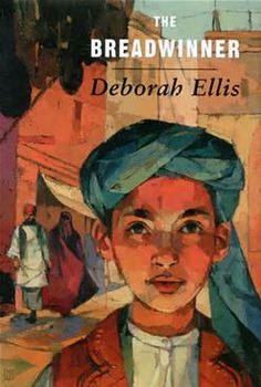
The Breadwinner - Study Guide - Chapter Questions
This download includes chapter by chapter questions for all fifteen chapters of Deborah Ellis's book "The Breadwinner." These are a great support tool for anyone using this book in their classroom.
Grades:
7th - 10th
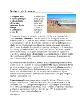
Desierto de Atacama Lectura y Cultura: Chilean Desert Spanish Reading
This 3-page file includes:~A Spanish language reading on the Atacama Desert found in the north of Chile. It includes information on its history, climate, geography, flora and fauna. It also talks about how the ancient indigenous population of the Chinchorro made it their home. Finally, it explains how the desert is home to space observation stations, NASA training for Mars missions and adventure tourism. The reading includes a full glossary of new vocabulary.~A second page with 9 nine reading co
Subjects:
Grades:
8th - 11th
Also included in: Spanish Cultural Readings MEGA GROWING Bundle: 105+ Lecturas @55% off!
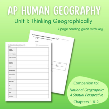
AP Human Geography Unit 1 Reading Guide - A Spatial Perspective
This 7 page reading guide covers Unit 1: Thinking Geographically from the National Geographic AP Human Geography: A Spatial Perspective textbook (Chapters 1 & 2). This serves as a comprehensive companion to the unit asking students to complete basic tasks such as defining and listing as well as answering close reading questions that require them to practice FRQ task verbs. KEY INCLUDED!
Subjects:
Grades:
9th - 12th

Plan a Family Vacation--$5,000 Budget
Students will have fun with this real life budgeting lesson as they plan their very own family vacation. Students must budget for the family members that live in their household, and must stay with a $5,000 limit. There is a Presentation to discuss all the rules and an excel sheet to help with their totals. As they plan their trip students can create a PowerPoint or a Google Slide that documents their itinerary. The presentation needs to include all expenses and their total cost of the trip
Subjects:
Grades:
4th - 12th
Types:
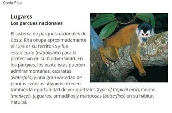
La naturaleza Nature Worksheet for Spanish 2 or 3 Google form version
This goes over 6 different texts in Spanish that are all around the size you see in the pictures. The questions are in English and Spanish (because I teach many different levels, but you could delete one language if you want to). The answers depend, but they are crafted with the Spanish 2 student in mind. I do however use this assigned for Spanish 3 too. These readings are from the Descubre 2 book, it is a copilation of the "nature" sections on the culture pages to align with my Spanish 4AP when
Subjects:
Grades:
6th - 12th, Higher Education, Adult Education
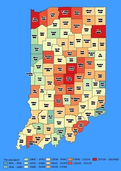
Indiana State Map with Population, Density, Area with Worksheet
Click Here>>> click here to subscribe to our storeIndiana State Map with Population, Density, Area with WorksheetDiscover the state of Indiana in an exciting and interactive way with this set of 4 detailed maps! Each map is categorized by county and provides essential information on population, density, and area, providing a comprehensive overview of the state's diversity and demographics.The population map shows the numerical distribution of residents in each county of the state, provi
Grades:
4th - 10th, Higher Education
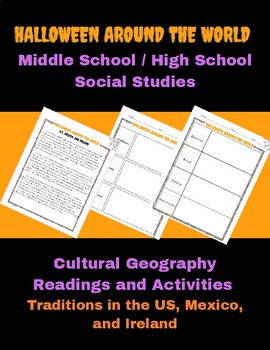
Halloween Cultural Geography Readings and Activities for Middle & High School
Halloween Cultural Geography Readings and Activities for Middle & High SchoolThis resource focuses on the cultural characteristics and Halloween traditions of the U.S., Mexico, and Ireland. Includes: -Reading - US, Mex, Ireland, One Page (Higher Level) -Reading - US, Mex, Ireland, One Page (Lower Level) -Reading - US, One Page -Reading - Mexico, One Page -Reading - Ireland, One Page -Graphic organizer, country comparison -Constructed Response Question -"Storyboard" Graphic Organizer -ESP
Grades:
5th - 12th
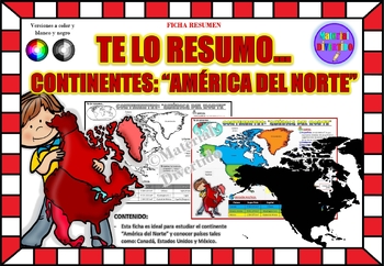
FICHA RESUMEN - Te lo Resumo... "América del Norte" (IMPRIMIBLES) |GEOGRAFÍA|
A sus estudiantes les encantará esta ficha resumen sobre "Los Continentes: América del Norte". Esta hoja incluye pequeños datos del hombre de: Canadá, Estados Unidos y México. Esta hoja resumen es perfecta para revisión, una actividad rápida, un proyecto de investigación, un organizador gráfico, centros, proyectos de toda la clase o proyectos de equipo. Los estudiantes pueden divertirse mientras aprenden todo sobre el continente de América del Norte. ¡Esta hoja resumen es perfecta para presentar
Grades:
PreK - 11th, Higher Education, Adult Education
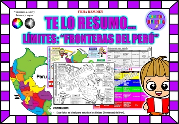
FICHA RESUMEN - Te lo Resumo... "Fronteras del Perú" (IMPRIMIBLES) |GEOGRAFÍA|
A sus estudiantes les encantará esta ficha resumen sobre "Los Tratados Limítrofes del Perú". Esta hoja incluye pequeños datos de los tratados limítrofes: Protocolo de Rio de Janeiro, Tratado Salomón-Lozano, Tratado Velarde-Rio Branco, Tratado Rectificación de Fronteras “Polo-Bustamante” y Tratado de Lima. Esta hoja resumen es perfecta para revisión, una actividad rápida, un proyecto de investigación, un organizador gráfico, centros, proyectos de toda la clase o proyectos de equipo. Los estudiant
Grades:
1st - 12th, Higher Education, Adult Education
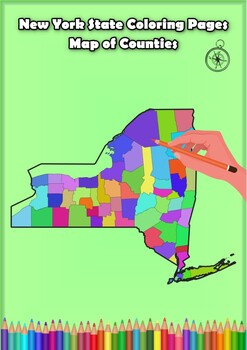
New York State Coloring Pages Map of Counties Highlighting Rivers Lakes Cities
Click Here>>> for more interactive resourcesNew York State Coloring Pages Map of Counties Highlighting Rivers Lakes CitiesOpen your mind to New York colorful adventure with these exciting coloring pages! Explore and bring each New York county to life with these detailed and engaging illustrations. Each page offers a unique opportunity to explore Alabama's geography, highlighting its rivers, lakes, and key towns.These coloring pages are ideal for anyone interested in discovering the beau
Grades:
PreK - 12th, Higher Education
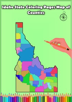
Idaho State Coloring Pages Map of Counties Highlighting Rivers Lakes Cities
Click Here>>> for more interactive resourcesIdaho State Coloring Pages Map of Counties Highlighting Rivers Lakes CitiesOpen your mind to Idaho colorful adventure with these exciting coloring pages! Explore and bring each Idaho county to life with these detailed and engaging illustrations. Each page offers a unique opportunity to explore Alabama's geography, highlighting its rivers, lakes, and key towns.These coloring pages are ideal for anyone interested in discovering the beauty and ge
Grades:
PreK - 12th, Higher Education
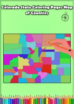
Colorado State Coloring Pages Map of Counties Highlighting Rivers Lakes Cities
Click Here>>> for more interactive resourcesColorado State Coloring Pages Map of Counties Highlighting Rivers Lakes CitiesOpen your mind to Colorado colorful adventure with these exciting coloring pages! Explore and bring each Colorado county to life with these detailed and engaging illustrations. Each page offers a unique opportunity to explore Alabama's geography, highlighting its rivers, lakes, and key towns.These coloring pages are ideal for anyone interested in discovering the beau
Grades:
PreK - 12th, Higher Education
Showing 1-24 of 263 results


![Preview of Year 10 Biology (Australian Curriculum) [Workbook]](https://ecdn.teacherspayteachers.com/thumbitem/Year-10-Biology-Australian-Curriculum-Workbook--6442923-1646016135/large-6442923-1.jpg)
