175 results
High school geography activboard activities
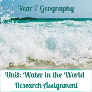
Water in the world: Water Scarcity Assignment
Curriculum context: Australian curriculum for Geography.Investigating water scarcity.- Do All Countries Have Equal Access to Water? Students create a graph to compare average water consumption among a variety of countries.- Investigate how water impacts the liveability of people in Australia and another country of your choice.- Includes Assessment Rubric that corresponds to Australian Curriculum Standards.- Socrative revision quiz/test also available in another listing.
Subjects:
Grades:
6th - 9th
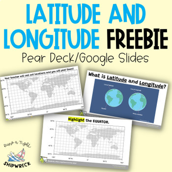
FREEBIE Latitude and Longitude Map Geography Skills Google Slides Pear Deck
Looking to teach your students the basics of latitude and longitude? Look no further than these interactive Pear Deck slides! This engaging lesson will teach students how to identify lines of latitude and longitude, as well as the Equator and Prime Meridian. With activities that challenge students to determine the definitions of Longitude and Latitude, and opportunities to create and call out a list of locations on a world map using Google Earth or an atlas (not included), this lesson is designe
Grades:
5th - 9th
Types:
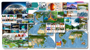
Geography: Editable PowerPoint Slides forTeaching
Geography Volcano-Mountain-pond-desert-beach-glacier-island-ocean-river-hill-valley-waterfall-lake-continent-bay-cave-coral reef-oasis-forest-cliff-mangrove-city-field-iceberg PowerPoint Slides for Teachinginformation and pictures Can play activities during class, increasing interest in learning and teaching of teachers.
Grades:
7th - 12th, Staff

New Deal Discoveries
Goal: Students are to discover New Deal Projects using the Living New Deal website!Students will be assigned locations that they must discover and learn more about. They will update a classroom spreadsheet, along with a guiding questions worksheet!Included:- Spreadsheet- Guiding Questions worksheet- Website link- Slides for review/introducing New Deal organizations
Grades:
9th - 12th
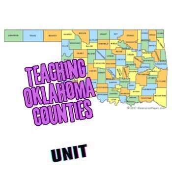
Teaching the Counties of Oklahoma UNIT
Here is everything you need to help your class learn the 77 counties of Oklahoma! Lots of blood, sweat, and tears went into this unit so enjoy simply downloading it instead! Included in this file are:-a Master schedule of short counties quizzes and answer keys, ready for print (I give these to students at the beginning of the semester and have them put them in the front of their 3-ring binder.)-77 images of highlighted counties optimized for a KAHOOT! game (always a big hit!)-Final test answer s
Subjects:
Grades:
9th - 12th
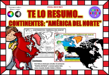
FICHA RESUMEN - Te lo Resumo... "América del Norte" (IMPRIMIBLES) |GEOGRAFÍA|
A sus estudiantes les encantará esta ficha resumen sobre "Los Continentes: América del Norte". Esta hoja incluye pequeños datos del hombre de: Canadá, Estados Unidos y México. Esta hoja resumen es perfecta para revisión, una actividad rápida, un proyecto de investigación, un organizador gráfico, centros, proyectos de toda la clase o proyectos de equipo. Los estudiantes pueden divertirse mientras aprenden todo sobre el continente de América del Norte. ¡Esta hoja resumen es perfecta para presentar
Grades:
PreK - 11th, Higher Education, Adult Education
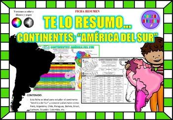
FICHA RESUMEN - Te lo Resumo... "América del Sur" (IMPRIMIBLES) |GEOGRAFÍA|
A sus estudiantes les encantará esta ficha resumen sobre "Los Continentes: América del Sur". Esta hoja incluye pequeños datos del hombre de: Perú, Chile, Argentina, Brasil, Paraguay, Venezuela, etc. Esta hoja resumen es perfecta para revisión, una actividad rápida, un proyecto de investigación, un organizador gráfico, centros, proyectos de toda la clase o proyectos de equipo. Los estudiantes pueden divertirse mientras aprenden todo sobre el continente de América del Sur. ¡Esta hoja resumen es pe
Grades:
PreK - 12th, Higher Education, Adult Education

Plan a Family Vacation--$5,000 Budget
Students will have fun with this real life budgeting lesson as they plan their very own family vacation. Students must budget for the family members that live in their household, and must stay with a $5,000 limit. There is a Presentation to discuss all the rules and an excel sheet to help with their totals. As they plan their trip students can create a PowerPoint or a Google Slide that documents their itinerary. The presentation needs to include all expenses and their total cost of the trip
Subjects:
Grades:
4th - 12th
Types:
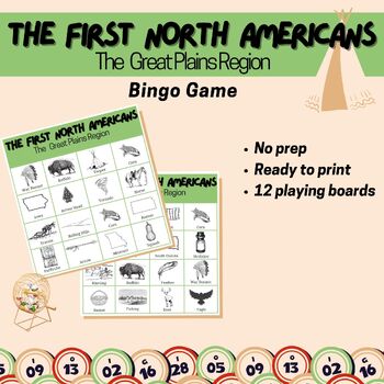
Great Plains Bingo Game Early People of North America Native Americans Activity
This fun and very interactive game is sure to keep your students interested while learning about the people of the Great Plains of North America. Your students will journey through the Great Plains while facing many challenges just as those early settlers have done before us. Easy to play and your students will be entertained the entire time!What's Included:12 Bingo Boards36 Call Out CardsThis is a great activity to use when you have a sub or need last-minute plans! My students LOVE to play this
Grades:
3rd - 9th
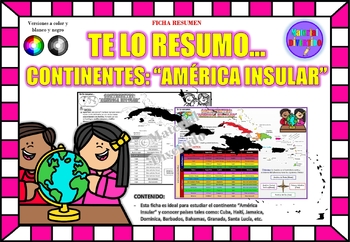
FICHA RESUMEN - Te lo Resumo... "América Insular" (IMPRIMIBLES) |GEOGRAFÍA|
A sus estudiantes les encantará esta ficha resumen sobre "Los Continentes: América Insular (Antillas)". Esta hoja incluye pequeños datos del hombre de: Cuba, Haití, Jamaica, Dominica, Barbados, Bahamas, Granada, Santa Lucía, etc. Esta hoja resumen es perfecta para revisión, una actividad rápida, un proyecto de investigación, un organizador gráfico, centros, proyectos de toda la clase o proyectos de equipo. Los estudiantes pueden divertirse mientras aprenden todo sobre el continente de América In
Grades:
PreK - 12th, Higher Education, Adult Education
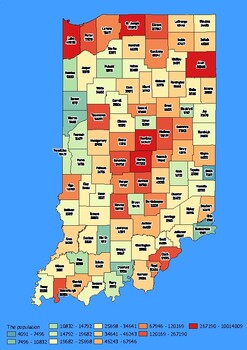
Indiana State Map with Population, Density, Area with Worksheet
Click Here>>> click here to subscribe to our storeIndiana State Map with Population, Density, Area with WorksheetDiscover the state of Indiana in an exciting and interactive way with this set of 4 detailed maps! Each map is categorized by county and provides essential information on population, density, and area, providing a comprehensive overview of the state's diversity and demographics.The population map shows the numerical distribution of residents in each county of the state, provi
Grades:
4th - 10th, Higher Education
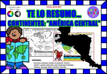
FICHA RESUMEN - Te lo Resumo... "América Central" (IMPRIMIBLES) |GEOGRAFÍA|
A sus estudiantes les encantará esta ficha resumen sobre "Los Continentes: América Central". Esta hoja incluye pequeños datos del hombre de: Guatemala, El Salvador, Honduras, Nicaragua, Belice, Panamá y Costa Rica. Esta hoja resumen es perfecta para revisión, una actividad rápida, un proyecto de investigación, un organizador gráfico, centros, proyectos de toda la clase o proyectos de equipo. Los estudiantes pueden divertirse mientras aprenden todo sobre el continente de América Central. ¡Esta ho
Grades:
PreK - 12th, Higher Education, Adult Education
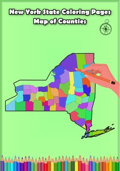
New York State Coloring Pages Map of Counties Highlighting Rivers Lakes Cities
Click Here>>> for more interactive resourcesNew York State Coloring Pages Map of Counties Highlighting Rivers Lakes CitiesOpen your mind to New York colorful adventure with these exciting coloring pages! Explore and bring each New York county to life with these detailed and engaging illustrations. Each page offers a unique opportunity to explore Alabama's geography, highlighting its rivers, lakes, and key towns.These coloring pages are ideal for anyone interested in discovering the beau
Grades:
PreK - 12th, Higher Education
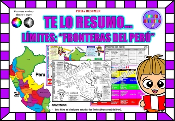
FICHA RESUMEN - Te lo Resumo... "Fronteras del Perú" (IMPRIMIBLES) |GEOGRAFÍA|
A sus estudiantes les encantará esta ficha resumen sobre "Los Tratados Limítrofes del Perú". Esta hoja incluye pequeños datos de los tratados limítrofes: Protocolo de Rio de Janeiro, Tratado Salomón-Lozano, Tratado Velarde-Rio Branco, Tratado Rectificación de Fronteras “Polo-Bustamante” y Tratado de Lima. Esta hoja resumen es perfecta para revisión, una actividad rápida, un proyecto de investigación, un organizador gráfico, centros, proyectos de toda la clase o proyectos de equipo. Los estudiant
Grades:
1st - 12th, Higher Education, Adult Education
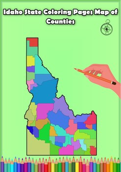
Idaho State Coloring Pages Map of Counties Highlighting Rivers Lakes Cities
Click Here>>> for more interactive resourcesIdaho State Coloring Pages Map of Counties Highlighting Rivers Lakes CitiesOpen your mind to Idaho colorful adventure with these exciting coloring pages! Explore and bring each Idaho county to life with these detailed and engaging illustrations. Each page offers a unique opportunity to explore Alabama's geography, highlighting its rivers, lakes, and key towns.These coloring pages are ideal for anyone interested in discovering the beauty and ge
Grades:
PreK - 12th, Higher Education
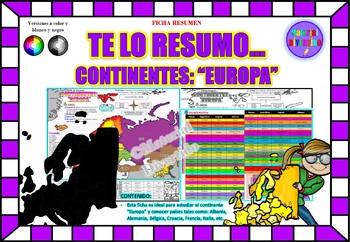
FICHA RESUMEN - Te lo Resumo... "Europa" (IMPRIMIBLES) |GEOGRAFÍA|
A sus estudiantes les encantará esta ficha resumen sobre "Los Continentes: Europa". Esta hoja incluye pequeños datos del hombre de: Albania, Alemania, Bélgica, Croacia, Francia, Italia, etc. Esta hoja resumen es perfecta para revisión, una actividad rápida, un proyecto de investigación, un organizador gráfico, centros, proyectos de toda la clase o proyectos de equipo. Los estudiantes pueden divertirse mientras aprenden todo sobre el continente de Europa. ¡Esta hoja resumen es perfecta para prese
Grades:
PreK - 12th, Higher Education, Adult Education
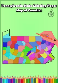
Pennsylvania State Coloring Pages Map of Counties Highlighting Rivers Lakes City
Click Here>>> for more interactive resourcesPennsylvania State Coloring Pages Map of Counties Highlighting Rivers Lakes CitiesOpen your mind to Pennsylvania colorful adventure with these exciting coloring pages! Explore and bring each Pennsylvania county to life with these detailed and engaging illustrations. Each page offers a unique opportunity to explore Alabama's geography, highlighting its rivers, lakes, and key towns.These coloring pages are ideal for anyone interested in discover
Grades:
PreK - 12th, Higher Education
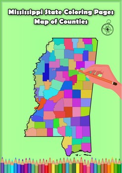
Mississippi State Coloring Pages Map of Counties Highlighting Rivers Lakes Citie
Click Here>>> for more interactive resourcesMississippi State Coloring Pages Map of Counties Highlighting Rivers Lakes CitiesOpen your mind to Mississippi colorful adventure with these exciting coloring pages! Explore and bring each Mississippi county to life with these detailed and engaging illustrations. Each page offers a unique opportunity to explore Alabama's geography, highlighting its rivers, lakes, and key towns.These coloring pages are ideal for anyone interested in discovering
Grades:
PreK - 12th, Higher Education
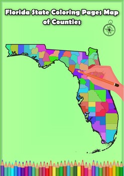
Florida State Coloring Pages Map of Counties Highlighting Rivers Lakes Cities
Click Here>>> for more interactive resourcesFlorida State Coloring Pages Map of Counties Highlighting Rivers Lakes CitiesOpen your mind to Florida colorful adventure with these exciting coloring pages! Explore and bring each Florida county to life with these detailed and engaging illustrations. Each page offers a unique opportunity to explore Alabama's geography, highlighting its rivers, lakes, and key towns.These coloring pages are ideal for anyone interested in discovering the beauty
Grades:
PreK - 12th, Higher Education
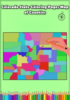
Colorado State Coloring Pages Map of Counties Highlighting Rivers Lakes Cities
Click Here>>> for more interactive resourcesColorado State Coloring Pages Map of Counties Highlighting Rivers Lakes CitiesOpen your mind to Colorado colorful adventure with these exciting coloring pages! Explore and bring each Colorado county to life with these detailed and engaging illustrations. Each page offers a unique opportunity to explore Alabama's geography, highlighting its rivers, lakes, and key towns.These coloring pages are ideal for anyone interested in discovering the beau
Grades:
PreK - 12th, Higher Education
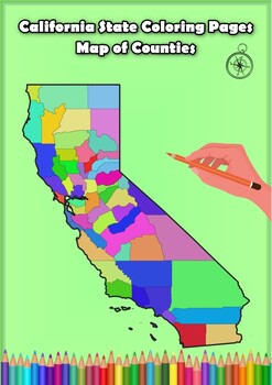
California State Coloring Pages Map of Counties Highlighting Rivers Lakes Cities
Click Here>>> for more interactive resourcesCalifornia State Coloring Pages Map of Counties Highlighting Rivers Lakes CitiesOpen your mind to California colorful adventure with these exciting coloring pages! Explore and bring each California county to life with these detailed and engaging illustrations. Each page offers a unique opportunity to explore Alabama's geography, highlighting its rivers, lakes, and key towns.These coloring pages are ideal for anyone interested in discovering th
Grades:
PreK - 12th, Higher Education
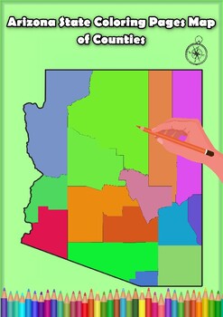
Arizona State Coloring Pages Map of Counties Highlighting Rivers Lakes Cities
Click Here>>> for more interactive resourcesArizona State Coloring Pages Map of Counties Highlighting Rivers Lakes CitiesOpen your mind to Arizona colorful adventure with these exciting coloring pages! Explore and bring each Arizona county to life with these detailed and engaging illustrations. Each page offers a unique opportunity to explore Alabama's geography, highlighting its rivers, lakes, and key towns.These coloring pages are ideal for anyone interested in discovering the beauty
Grades:
PreK - 12th, Higher Education
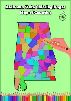
Alabama State Coloring Pages Map of Counties Highlighting Rivers Lakes Cities
Click Here>>> for more interactive resourcesAlabama State Coloring Pages Map of Counties Highlighting Rivers Lakes CitiesOpen your mind to Alabama colorful adventure with these exciting coloring pages! Explore and bring each Alabama county to life with these detailed and engaging illustrations. Each page offers a unique opportunity to explore Alabama's geography, highlighting its rivers, lakes, and key towns.These coloring pages are ideal for anyone interested in discovering the beauty
Grades:
PreK - 12th, Higher Education
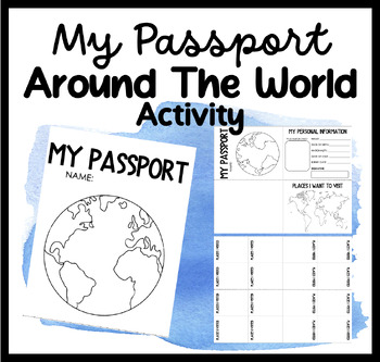
My Passport | Around The World Activity | Places I Want To Go & Visit
Embark on a Global Adventure with Our Student Passport Activity!Are you ready to take your students on an exciting journey around the world? Introducing our Student Passport Activity, where students can create their very own passports, explore different countries, and experience the wonders of the world right in your classroom!Why Choose Our Student Passport Activity?Personalized Passport Creation: Our activity allows students to unleash their creativity by designing and customizing their own pa
Grades:
PreK - 12th, Higher Education, Adult Education, Staff
Showing 1-24 of 175 results


