267 results
Preschool geography handouts in English (UK)
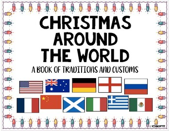
Christmas Around The World Packet {10 Countries + Worksheets}
Learn how these eleven countries around the world celebrate Christmas! The countries that are included in the packet are: Australia, USA, China, England, France, Germany, Greece, Italy, Mexico, Russia, and Scotland. Also included is a blank venn diagram and a writing space to describe their Christmas tradition. There is a writing page for K-2 primary kids and the upper grades.Each page includes the map of the country and the flag. It also includes how to say Merry Christmas in each language as w
Grades:
PreK - 8th
Types:
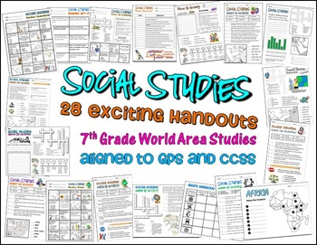
Bundle of 28 Worksheets for 7th Grade Social Studies GPS Georgia
This is a HUGE lot of fun and engaging handouts for students to use in reviewing key information. Included in this package are 28 individual activities, including puzzles, maps, fill-in-the-blank sections, word searches, matching, etc. Most of these items were created to help students review for the end of year test, so they cover a variety of topics and standards.
This is a great way to get your students excited about social studies. I use most of these resources as warm up and closing activi
Grades:
PreK - 12th, Higher Education, Adult Education, Staff
Types:
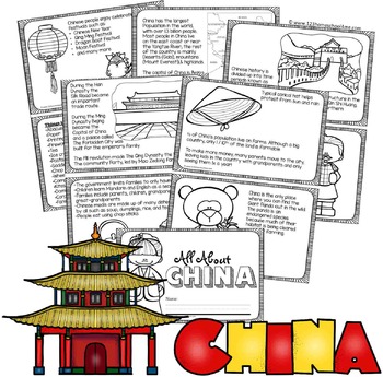
China Facts Book for Kids
Kids will have learning about China as they read and color their very own book. There are 2 book styles: lots on informative text (2nd-6th grade) and simple text with traceable key words (PreK-1st grade).
NO PREP! Just print in black and white, cut in half, and staple. Includes both a boy and girl cover.
Pages Included:
- Map (including population, Yangtze River, Gobi Desert, Mount Everest, and capital Beijing)
- Flag (language and alphabet)
- Great Wall of China
- The
Subjects:
Grades:
PreK - 5th
Types:
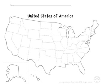
Blank Map Of The USA
This PDF file is a blank map of the USA. Use this to learn states, capitals, cities, landmarks, mountains, rivers, oceans, etc.
Enjoy!
Subjects:
Grades:
PreK - 12th
Types:
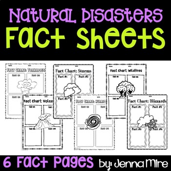
Natural Disasters Fact Sheets
This document is a simple and quick way for your students to take notes on 6 well know natural disasters.Includes:Fact sheets for- Tornadoes, Volcanoes, Storms, Hurricanes, Wildfires, and BlizzardsEach sheet calls for the student to write 4 facts on a natural disaster
Subjects:
Grades:
PreK - 9th
Types:
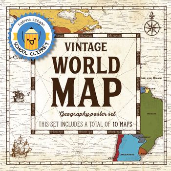
World map and continents: Vintage style geography poster set (10 maps)
World map and continents: vintage style geography poster setThis world and continents set includes a total of 10 maps:• World• Africa• South America• Central America• North America• Europe (2)• Middle East• Asia• OceaniaMaps capture current geographical and political boundaries (as of May 2019) with vintage-style graphics and script. The world map clearly labels continents and oceans. Continent maps label all countries, oceans and include a color-coded country key.These maps are a great addition
Subjects:
Grades:
PreK - 12th, Higher Education, Adult Education, Staff
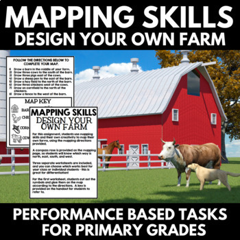
Mapping Skills and Activities - Geography - Map Design - Map Activity
Mapping Skills: Performance Based Tasks - Design Your Own Farm! For this fun geography activity, students use mapping skills and their own creativity to map their own farms, using the mapping directions provided. Perfect for your upcoming mapping unit or geography unit, these mapping activities would also make great additions to a geography interactive notebook.⭐A compass rose is provided on the mapping page, so students will know which way is north, east, south, and west.⭐Three separate workshe
Grades:
PreK - 1st
Great Lakes
This packet has been created to help introduce the Great Lakes to Primary StudentsIncluded:1. Label the Great Lakes on a map (Map is full page size with ample writing space for early writers. Color and B&W versions included. No-line version also included)2. “The Great Lakes look like…” This creative activity is for students to look at the shape of the lakes and decide what they think the lakes look like . There are sample pictures included that you may want to use to inspire students. (M
Subjects:
Grades:
PreK - 3rd
Types:

United States Map of Individual States Coloring Book
Coloring book containing individual pages for all 50 states of the United States. Every page has an outline with capitol location indicated, mapped location within the United States, and the state flag of each given state.
Grades:
PreK - 8th
Types:
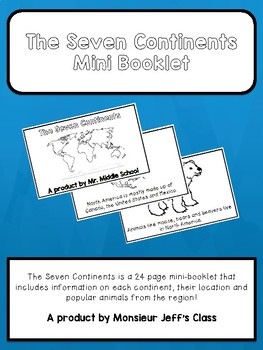
The Seven Continents Mini-Booklet
The Seven Continents is a 24 page mini-booklet for primary grades or English learners.
The booklet includes information on all seven continents offering maps with locations, a fact about each continent and animals from those regions.
Perfect for social studies, language class, primary and junior grades, and English learners.
Booklet is in black and white and made to be coloured by the students. The final page includes a blank map for students to label with their new found knowledge!
Sample
Subjects:
Grades:
PreK - 5th
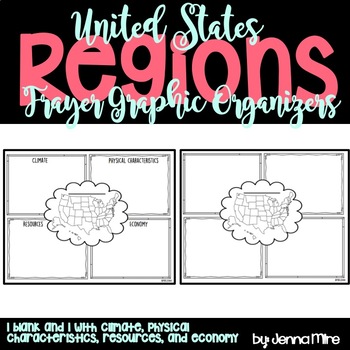
United States Regions Frayer Graphic Organizer
The Frayer Model graphic organizer is a chart with four sections, which can hold facts about each region's climate, physical characteristics, resources, and economy.
In the middle there is a blank line, I had the students write the region we were working with on that line. Then the students colored the region we were working with on the small United States map in the middle.
This document also comes with a blank Frayer model graphic organizer that you can use incase you are covering different
Grades:
PreK - 5th
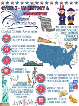
CC Cycle 3 - What we've learned
Adorable digital overview of Classical Conversations Cycle 3 Foundations material. Add this PDF to your Parent Orientation, Yearbook, End of Year Celebration or any other CC related event you'd like!Please note: the CC logo will NOT be included in your download. Your licensed Director will have a copy of the logo that you can use. It's easy even in Microsoft Word or Pages to drag and drop the logo onto this file. Feel free to email us with any questions. Enjoy!
Subjects:
Grades:
PreK - 6th
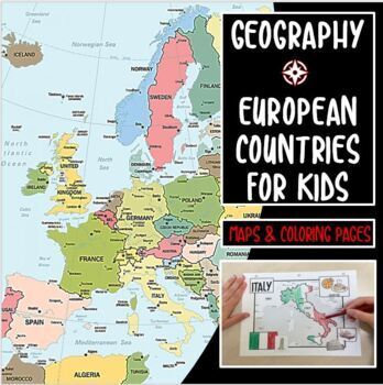
Coloring Maps of 6 European Countries Flags France Spain Italy England Scotland
NEW! These fun geography coloring pages include maps, flags, landmarks, and foods from each country. Students learn as they color each country. 6 countries included: Italy, France, Spain, England, Ireland, ScotlandCheck out my other speech therapy related products at https://www.teacherspayteachers.com/Store/Bee-Social-Speech
Subjects:
Grades:
PreK - 8th
Types:
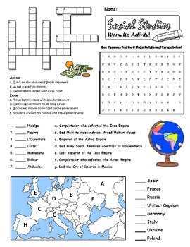
6th Grade Social Studies Review Worksheet GPS
Your students will enjoy reviewing key information by completing this review handout. Subject matter is aligned to the Georgia Performance Standards. Enjoy!!!
Grades:
PreK - 12th, Higher Education, Adult Education, Staff
Types:
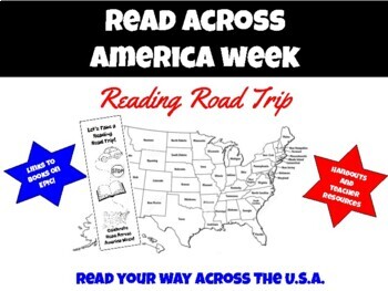
Read Across America - Reading Road Trip
Updated with new book titles in 2024!This is a unit that can be used by a librarian or teacher to celebrate Read Across America Week. It can also be used at any time of the year to connect reading with geography. Teachers and students read picture books and fill in a map (digitally or with included handouts) to keep track of the states where different books are set. The unit also includes an editable list of diverse books from each state, so teachers or librarians can customize the list to your
Subjects:
Grades:
PreK - 8th
Types:
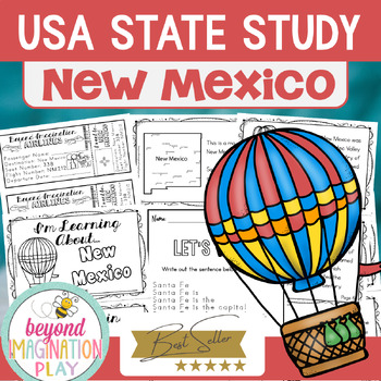
50 States Project | New Mexico Facts Activities Worksheets Reading Comprehension
Travel to the US state of New Mexico with your lower elementary grade/ kindergarten/ special education learners. Includes super fun boarding passes and postcards from New Mexico (the kids just LOVE these). This fun fact state study booklet is perfect to use for an around the US state study unit, a social studies unit, a geography project, or a New Mexico study. The State Study 11-page PDF includes the following:the state flag the state map the state animal the state bird six state-specific fact
Grades:
PreK - 4th
Types:
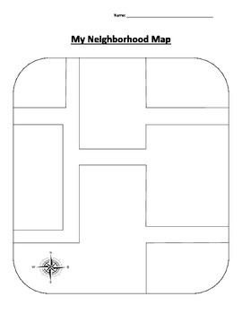
Neighborhood Map
Theme-Community
Introduce the word community to the students and explain that is formed by a group of people who work together and live in the same area (such as a city, town, or neighborhood). Students can then draw their home and other places that are close by their neighborhood so they can get a "sense of place".
Subjects:
Grades:
PreK - 3rd
Types:
Earth's Features - Geology Study, Activities and Handouts
The study of Earth's Features encompasses a branch of science called Geology. The Geology Study unit looks at the topics of Earth's Features, Earthquakes, Volcanoes, Minerals & Rocks, and Erosion.This unit it planned with the students in grades Pre-K to Grade 4 in mind. It is leveled as Easy, Medium, and Advanced in order to meet the different learning needs of all the different students across the different grades.Earth's Features - Geology Study contains the following activities and hand
Subjects:
Grades:
PreK - 4th
Types:
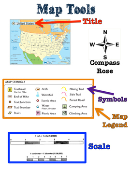
Map Tools Poster
This map tools poster is great when teaching about map tools such as title, Compass Rose, Symbols, Legend, and Scale. Students can refer to this Map Tools poster and see images that show what each map tool.
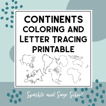
7 Continents Coloring and Letter Tracing Printable Pages Bundle
This printable bundle is a great introduction to the Continents: Africa, Antarctica, Asia, Europe, Oceania, North America, and South America. Students can color the shape of the continent and trace the letters of the word.All continent printables are also bundled at a discounted price in my TPT store
Subjects:
Grades:
PreK - 1st
Types:
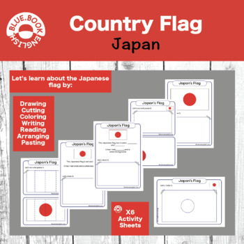
Japan Flag Activity / Japanese Flag Craft
Help your students learn about, interact with, manipulate, and answer questions about the country flag.Many options for differentiation and fun activities to help your students remember what the country's flag looks like.Cover shapes, colors, and numbers while you examine the flag together as a class. It makes for a fun craft, homework, or in class assignment.
Subjects:
Grades:
PreK - 2nd
Types:

Architecture Around the World: Designing from A-Z! Coloring Book by Xena Stryker
Embark on a vibrant journey across the globe with "Architecture Around the World: Designing from A-Z!" This breathtaking coloring book invites you to explore and reimagine iconic landmarks while learning about the creatives that designed them. Featuring meticulously hand-drawn illustrations, this coloring book captures the essence of architectural marvels from every corner of the world. From the soaring heights of the Eiffel Tower to the intricate patterns of the Taj Mahal, each page unveils a n
Grades:
PreK - 6th
NGSS:
K-2-ETS1-2
, MS-ETS1-2
, K-2-ETS1-1
, 3-ESS3-1
, 5-ESS3-1
...
Social Studies Journal Anchor Charts for Kindergarten
These Social Studies journal anchor charts are a great way for students to keep notes on hand without actually having to take notes. Kindergarteners are not strong writers, so journal anchor charts are a great solution. Each page comes with 2 anchor charts to save paper and makes them the perfect size for a school journal. Your student will just cut and glue and then they will have them to refer back to all year long!
Grades:
PreK - 1st
Types:
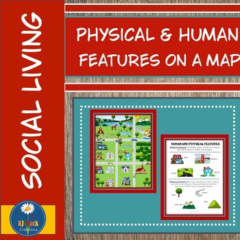
Physical and Human Features of a Map
Begin to explore the world of maps with this engaging educational product. Your students will learn about Physical and Human features of a map. Your students are sure to enjoy this fun filled packet. This activity pack includes:Clipart Pictures: 1.Definition with examples of Physical and Human features on a map.2.Map that includes both physical and human features.3.Blank map and features to cut and build your own map.4.Sorting Activity: Pictures and Sorting chart.5.Sorting/flash cards.Real Lif
Subjects:
Grades:
PreK - 2nd
Types:
Showing 1-24 of 267 results


