11,454 results
3rd grade other (social studies) resources under $5
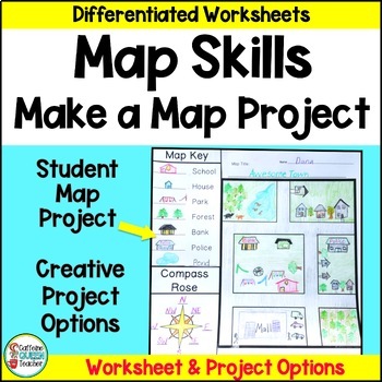
Map Skills Make Your Own Map Project with Map Worksheets and Map Activity
Create your own map using this fun, creative activity to learn about reading maps. Students love designing maps with towns, cities, parks, and islands. They complete practice worksheets and create their maps. This project based learning activity is a hands-on way to interact with maps.You receive:4 map worksheets - becoming progressively more difficult2 compass rose pages for students to complete (choose the level you need)6 different "Make Your Own Map" project pages to choose from3 differentia
Grades:
2nd - 4th
Types:
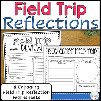
Field Trip Reflection and Memories
Help students make field trip memories and keep the excitement of the field trip alive with these reflection pages. Students can review vocabulary, learned content, and reflect upon their favorite parts of the trip. Use these pages individually or as a packet.Follow my White's Workshop store for more great resources! ❤️ Product includes:8 reflection pages - Our Class Field Trip (primary and intermediate styles) - 3-2-1 Reflection chart (primary and intermediate
Grades:
2nd - 5th
Types:
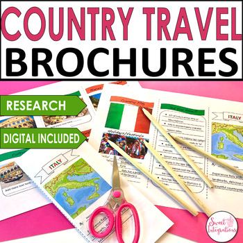
Country Travel Brochure Research Social Studies - Templates and Digital
For a great addition to any country research project, try implementing this fun Digital Country Travel Brochure activity. This digital brochure is an engaging way to learn informational text skills or for use in a presentation of country research. Their striking, professional-looking brochures will impress everyone!IN THIS RESOURCE:I've included front and back trifold Powerpoint templates. Country resource websites and graphic organizers. Editable so you can add your own headings.Students resear
Grades:
3rd - 5th
Types:
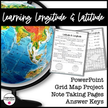
Latitude & Longitude Worksheet for Latitude & Longitude Practice with PowerPoint
This interactive Social Studies lesson engages your students in note-taking of important concepts and lets them use their creativity to show what they have learned!▁▁▁▁▁▁▁▁▁▁▁▁▁▁▁▁▁▁▁▁▁▁▁▁▁▁▁▁▁▁▁▁▁▁▁▁▁▁WHAT IS INCLUDED IN THIS RESOURCE?⇨ 10-page PowerPoint Presentation: Show a vibrant Powerpoint to your students to introduce concepts like longitude, latitude, grid map, coordinates, Prime Meridian, International Dateline, and Equator. ⇨ Accompanying Worksheets: As you engage them in this powerp
Grades:
2nd - 5th
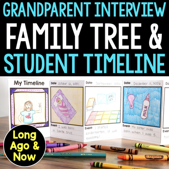
Long Ago & Now Grandparent Day Interview Activity, Family Tree, Student Timeline
Introduce your students to their family history with this fantastic Long Ago & Now Grandparent Interview Activity, Family Tree, and Student Timeline. This lesson series uses compare and contrast strategies to help students understand how their lives are similar to or different from their grandparents' lives. It makes for a great Grandparents' Day activity! Plus, the strong home-to-school connection will help keep everyone involved and excited about learning. This mini-unit is in my Long Ago
Grades:
1st - 3rd
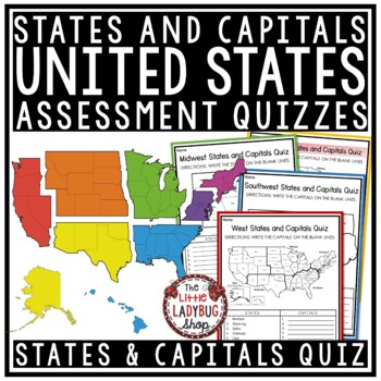
50 US States and Capitals by Region Test Quiz Regions of The United States
These States and Capitals by Region Test/ Quizzes are great for your students to use as they master their memorization. There are several versions to meet your students needs. Kindly Note: If you own my US Research Bundle, this set was added to it for free as a bonus, yay!States and Capitals by Region Test/ Quiz Include:Quiz/ Test: Several options provided & Answer KeyLarge US Map labeled version #1Regions with State labeled Version #2Region with state and no label version #3Version #4- 6: w
Grades:
3rd - 4th
Types:
EACH KINDNESS Book Study: Social Emotional Learning Lesson on Kindness + Empathy
The Each Kindness Game Show is an interactive, quiz-show style book study lesson on empathy and kindness. Based on Jacqueline Woodson's beautiful book, "Each Kindness".Now includes both Google Slides™ and Power Point Presentation files, which allows you to use for SEL distance learning, teletherapy, virtual counseling groups, school counseling guidance and in person lessons.***Please note: Jacqueline Woodson's book, "Each Kindness" is not included in this resource.Ways to Use☀️ Social emotional
Grades:
3rd - 6th
Types:
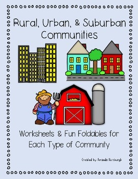
Rural, Urban, and Suburban Communities
Rural, Urban, and Suburban Communities are explored in this product which includes worksheets and fun foldables for each type of community.This product includes all the templates required for the rural, suburban, and urban foldables, along with additional worksheets and information on the community types and characteristics.Rural, Suburban, and Urban Communities Set includes:Living in a Rural Community Worksheet & Foldable templateLiving in a Suburban Community Worksheet & Foldable templ
Grades:
1st - 3rd
Types:
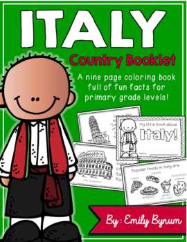
Italy Booklet (A Country Study!)
This "All About Italy" booklet can be used for a very basic country study in lower elementary grades! Each page contains a basic fact and related illustration! All graphics are in an outline format so that it's ready to be colored like a mini-coloring book.This coloring booklet gives all the general/basic information about Italy, including:-geography -Italian flag-capital city of Rome (famous sites)-popular Italian foods-most popular sport (football)-Ancient Romans (powerful military)-Leaning To
Grades:
K - 5th
Types:
Bill of Rights Sort Activity with Scenarios - US Constitution Day
Teach students about The Bill of Rights with this fun sort activity! Students will learn about the Bill of Rights and the first ten amendments to the U.S. Constitution. Students will also match the scenarios to each amendment. It is perfect for Constitution Day or Founders Month as students learn about the U.S. Government.This Bill of Rights Sort includes the first ten amendments, their definitions, and real-life scenarios that students will match in order.This activity includes a digital versio
Grades:
3rd - 5th
Types:
Map Skills and Types of Maps Unit, Social Studies Worksheets for 2nd & 3rd Grade
This map skills and types of maps worksheet set is a perfect set for 2nd and 3rd graders. It offers reading passages and worksheets for map skills and then focuses on seven different types of maps. There are reading comprehension passages, graphic organizers, cut and glue activities, and answer keys. There is also a digital conversion of this resource available in Google Slides. They have been digitally converted so that you can use the paper version or digital conversion in your unit. The links
Grades:
2nd - 3rd
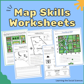
Map Skills Worksheets: Compass Rose, Equator, Grids, Continents, & Maps
This item has 23 different worksheets focusing on different map skills for elementary students! Students will practice learning symbols, the compass rose (cardinal and intermediate directions), keys/legends, the continents, the oceans, equator & prime meridian, the hemispheres, and grid coordinates.Worksheets:Compass RoseMap Symbols IdentificationDraw Your Own Map Symbols on a Map!Map of North AmericaExplain where the United States is on a MapPhysical Features MapThe Continents MapThe Five
Grades:
1st - 3rd
Types:
Ireland Booklet (A Country Study!)
This "All About Ireland" booklet can be used for a very basic country study in lower elementary grades! Each page contains a basic fact and related illustration. All graphics are in an outline format so that it's ready to be colored like a mini-coloring book.
This coloring booklet gives all the general/basic information about Ireland, including:
-geography
-Irish flag
-Dublin (capital city)
-popular foods
-Nickname (The Emerald Isle)
-Symbols (shamrock, harp, Celtic cross)
-Irish dancing
-lep
Grades:
K - 5th
Types:
Jackie Robinson Biography Report, Reading Passage & Comprehension Activities
Learn about the baseball player, Jackie Robinson, through a fun, easy-to-read reading passage, QR Codes for additional biography research, comprehension activities that support the sequence of events and categorizing facts, and a simple biography report. Help students research information about Jackie Robinson or writing a biography report on this historical figure. This biography of Jackie Robinson is a great way to combine reading, writing, and social studies.The Jackie Robinson Biography and
Grades:
2nd - 4th
Also included in: Black History Month Activities - African-American Biographies
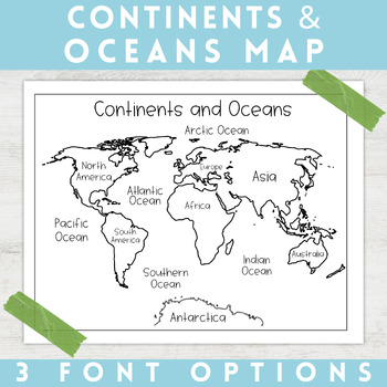
World Map Continents and Oceans | Black and White | Coloring Sheet
Enhance your minimalist classroom with these Black and White World Map with labeled Continents and Oceans!These black and white world map features each of the 7 continents and 5 oceans accurately labeled. These maps are great to print out, laminate, and hang up in a minimalist or neutral classroom. These maps are also great to print out and make copies for students to color! Please feel free to make copies of this resource for your students, or for your own kiddos.Updated 7/17/2022: There are no
Grades:
PreK - 9th
Types:
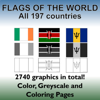
Flags of the World: 2740 World Flags - All 197 countries - Incl. Coloring Pages
Flags of the World: All 197 countries - 2740 graphics - Clip-art Set and Bonus PDF Document. Includes 197 colored flags that are identical in dimension to allow you to create uniform, clean looking resources!This clip art set contains 197 flags from around the world in both color, gray-scale and black and white outlined coloring pages. (A total of 2740 graphics!). A PDF document with the country name and large format flag is also included for easy printing and displaying.Every world flag is her
Grades:
PreK - 12th, Higher Education, Adult Education, Staff
Virtual Field Trip to Everglades National Park
Virtual Field Trip to Everglades National Park in Florida! Perfect for Zoom meetings as a fun activity for in person *socially distanced* learning!NO PREP! Just 'share your screen' and present the slides. ☺Trip is designed for grade K - 5, I included multiple closing activity suggestions, just delete any slides to make it appropriate level for your grade!W H A T ' S I N C L U D E D ?⭐️ Teacher directions⭐️ PowerPoint & Google Slides included (PowerPoint file with a link to "make a copy" for
Grades:
K - 5th
Types:
NGSS:
3-LS4-3
, 2-LS4-1
Also included in: THE COMPLETE COLLECTION! Every product in my TPT store - growing bundle!
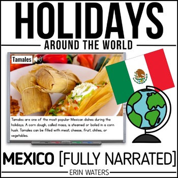
Winter Holidays in Mexico - Christmas Around the World - Slides + Activities
Feliz Navidad! Learn all about Christmas Around the World in Mexico with a fully narrated, stunning, full-color Powerpoint packed with photographs, facts, and a look into Mexico's most special traditions. The best part?! I talk so you don't have to!This presentation can be played in 2 ways:1. Manual: Click through at your own pace, starting and stopping the narration when needed.2. Automatic: Click the first slide to begin, sit back, and enjoy the show! (7 minutes plus teacher-guided multiple ch
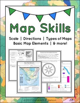
Map Skills Package
This package contains a variety of handouts, worksheets, a lesson idea, and an activity to help teach students map skills such as scale, cardinal and intermediate directions, types of maps (planimetric, thematic, topographic), and basic map elements (legend, title etc.)
Contents
Welcome
Teaching Guide (3 pages)
Latitude, Longitude, and Directions: The Orange Lesson
Latitude Labeling Worksheet Option 1 (label)
Latitude Labeling Worksheet Option 2 (trace)
Cardinal and Intermediate Directions Han
Grades:
3rd - 6th
Types:
Also included in: Map Skills Bundle: activities, worksheets, crafts, posters + more
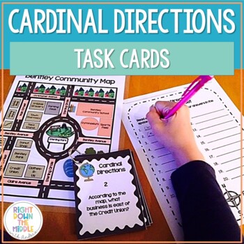
Map Skills and Cardinal Directions Task Cards
Cardinal Directions Task Cards are used to reinforce the skills students need to know for reading maps, using cardinal directions, and learning geography skills. This task card set uses the cardinal directions north, south, east, and west. Students will use the map ‘Bentley Community Map’ to answer the 20 task cards. There is a recording sheet and an answer key provided. Task Cards are great to use in the classroom for:• Independent Practice• Scoot• Test Prep• Collaborative Pairs• Whole-Group As
Grades:
3rd - 6th
Types:
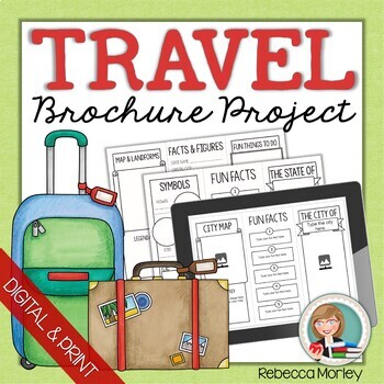
Travel Brochure Research Templates
Guide student research of any city, state, province, territory, or country and help them organize their learning! This packet includes five unique templates as well as an instruction page for each, in both PDF printable and Google Slides™ formats.Click here for only the print version: Travel Brochure Research Template PrintablesClick here for only the digital version: Travel Brochure Research Templates for Google SlidesTemplates include areas for mapping, drawing or pasting images, list making,
Grades:
3rd - 4th
Types:
Also included in: Brochure Research Project Bundle
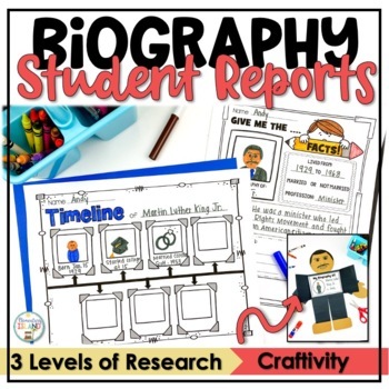
Biography Book Report Organizer Template for Biography Project w/ Autobiography
Engage your students in the fun of learning from others using biographies. This Biography Report and Research Activities Unit is the perfect way to introduce your students to biography research! Using the biography report templates, you can easily use this set to meet your needs all year long. This Biography Report Unit has everything you need for beginning researchers all the way to more advanced learners. There are 3 levels of research activities making it easy to guide your students through r
Grades:
1st - 3rd
Types:
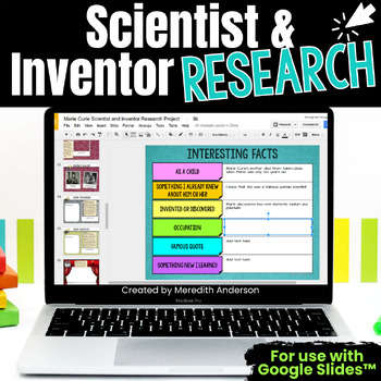
Scientist and Inventor Research Project - Digital Template Classroom Version
Research an important scientist or inventor in history! With this comprehensive resource, your students will know what is expected of them to complete and present this research project! One teacher writes that this resource "has made things 100 times easier and much more organized." ✅ Slide Pages Included ✅Title PageQuick FactsOn the MapPortrait GalleryGreat Invention or Great DiscoveryVideo GalleryInteresting FactsTimeline of EventsCite your SourcesEditing ChecklistHold your students accountabl
Grades:
3rd - 6th
Also included in: Biography Project Research Templates BUNDLE
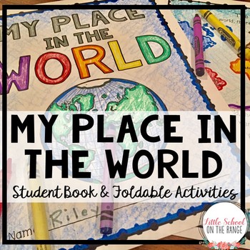
My Place in the World Book | Me on the Map
Looking for an engaging way to teach students about their place in the world? Creating this book is a fun way for students to learn about geography. There are two versions of this book included in this unit. One version has a more printer friendly border. The student book contains the following pages:• Cover Page• Seven Continents• Four Oceans• Countries• 50 States• My State• Texas Counties (extra for those who live in Texas)• Where I Live Review PageThere are also foldable activities for intera
Grades:
1st - 3rd
Types:
Showing 1-24 of 11,454 results


