193 results
3rd grade other (social studies) interactive whiteboards
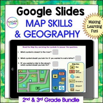
MAP SKILLS US Geography GOOGLE SLIDES & BOOM CARDS 2nd & 3rd Grade Bundle
Are you a 2nd or 3rd grade teacher looking for an exciting way to teach and review map skills & geography? This interactive bundle includes both Google Slides and Boom Cards, so there are plenty of activities to keep them entertained. They’ll learn all about landforms, the equator, the prime meridian, hemispheres, latitude and longitude, continents, U.S. regions, world oceans, the compass rose, cardinal directions - all with lots of vocabulary thrown into the mix. If you want to excite your
Grades:
2nd - 4th
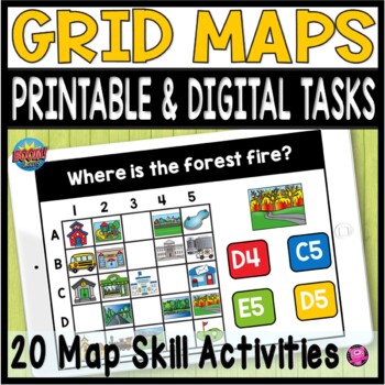
Coordinate Grid Maps Digital Map Skills PRINT and DIGITAL Geography Activities
Students will practice reading and finding locations on community maps using Coordinate Grid Maps. These map skill teaching and learning activities are fun NO PREP DIGITAL and PRINTABLE activities that give you a quick way to check for understanding after teaching how to read coordinate grid map skills. You DO NOT have to have a Boom Learning Account to use this resource!Click on PREVIEW to try this deck out on the Boom Learning Site!This Resource Includes:20 Printable TpT Easel Ready Task Cards
Grades:
2nd - 4th
What is Culture Digital Slides - My Culture Digital Activities
Learn all about CULTURE with this paperless, no-prep lesson for cultural classrooms. Easily use this fun mini-lesson on culture for an independent activity, morning meeting, or a station to learn all about CULTURE. It's a challenge to squeeze culture and diversity lessons into our jam-packed days. These Digital Slides are a quick, interactive, no-prep, paperless activity that will help you have conversations about culture.Here are some ways teachers have used this resource:✔ Explore what is and
Grades:
1st - 3rd
SPACE SURVIVAL - A Game of Want -vs- Need - Will YOU Survive?
UPDATE NOTICE: This product has been updated and all hyperlinks have been corrected! This is a action packed Google Slide game that asks students what items they would need to survive on a new planet! GREAT for teaching Wants and Needs, as a novel study activity, or to build teamwork skills!INCLUDES-Fully Editable Google Slides Included + Transitions-Three different "road blocks" for students to work through (but you can add more!)-Graphic Organizer Worksheet-Class Discussion Questions (on the l
Grades:
2nd - 7th
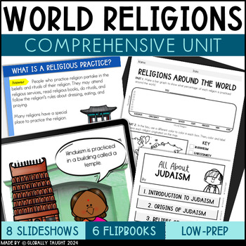
World Religions Unit Bundle with World Religions Slides, Texts, and Activities
Yes, you can teach about world religions! Research shows that teaching about world religions at an early age reduces rates of bullying and increases tolerance.Explore the six major world religions. This World Religions Unit answers big questions about religion, like what are religions and how are they practiced? Explore the 6 major world religions, including Buddhism, Islam, Christianity, Judaism, Sikhism, and Hinduism. This resource sticks to the facts to teach kids about the relationship bet
Grades:
2nd - 4th
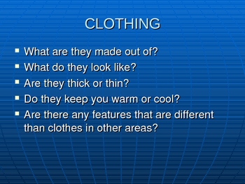
Ways People Adapt to Their Environments
Sixteen slide powerpoint detailing how people adapt to their environments. Covers homes, clothing, and transportation. Shows enviroments such as the desert, tundra, and rainforest. Colorful pictures that will engage the students.
Grades:
K - 8th
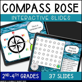
Digital Compass Rose Activities with Cardinal and Intermediate Directions Game
Explore the Compass Rose, Cardinal Directions, and Intermediate Directions with this ENGAGING and INTERACTIVE digital lesson. Practice using a compass with fun activities. These digital slides include short readings, engaging videos, and interactive activities for a highly-engaging lesson on the Compass Rose.Try the Seasons & Hemispheres Digital Slides too!Product Details:37 Interactive SlidesAuthentic Images and Examples of Compasses Quick Interactive Learning Checks (Turn & Talks, Dra
Grades:
1st - 3rd
Also included in: Geography Digital Slides Bundle - Compass and Hemispheres Google Slides
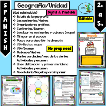
Mi planeta Continentes Oceanos Rosa de los vientos Primer Meridiano Editable
Cuando descargue el documento va a encontrar diferentes PowerPoints y un PDF:1- Editable y PDF (hojas de trabajo) listas para imprimir.2- No editable sin que puedan mover las imágenes3- Totalmente editable (para que lo ajuste a sus necesidades).¿Qué está incluído?Estudio de la geografíaLos continentes/HechosOrganizadores gráficosContinentes/ExamenLocalizar los continentes y océanos (mapa)Mi lugar en el espacioPasos para describir tu direcciónUSA-Hechos, mapaUSA/ExamenOcéanos/HechosPuntos cardin
Grades:
2nd - 4th
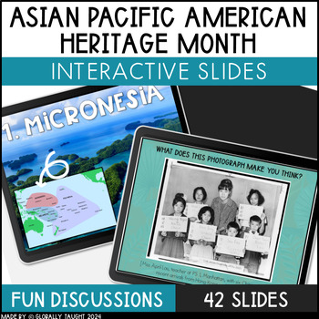
Asian Pacific American Heritage Month Digital Slides - Pacific Islander Slides
Learn about Asian Pacific American Heritage Month with fun digital slides! Explore the geography of Asia and the Pacific Islands and learn about the history of Asian American immigration to the United States. These digital slides include short reading passages, videos, and interactive activities for a highly-engaging lesson about Asian Pacific American Heritage Month. Product Details:42 Interactive SlidesShort Reading Passages about Asian Pacific American Heritage MonthQuick Interactive Activiti
Grades:
2nd - 4th
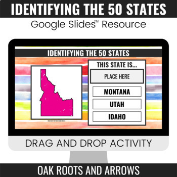
Identifying the 50 States : Google Slides™ Drag and Drop Activity
This product is a Google Slides™ resource. Students will drag and drop the correct state name to the box that says, "PLACE HERE." Each slide displays a different state and three options for students to choose from.You can assign this resource as an assignment to your students in your Google Classroom™. Students will complete the drag and drop activity and then turn it in through Google Classroom™. You will receive a ZIP file that includes a PDF file. There is a clickable link to the Google Slide
Grades:
3rd - 12th
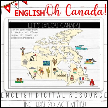
ENGLISH DIGITAL CANADA DAY ACTIVITIES - GOOGLE CLASSROOM™ - CANADIAN PROVINCES
This ENGLISH resource includes a set of digital activities that can be used to learn about the different regions of Canada. These interactive activities are perfect for the end of year, especially if you are recognizing and celebrating Canada Day in your classroom! IF YOU ARE INTERESTED IN THE FRENCH VERSION, CLICK HERE.All of the activities are in Google Slides. They can also be manipulated on an interactive whiteboard. The first slide includes a map of Canada with a variety of landmarks and Ca
Grades:
2nd - 4th
Types:
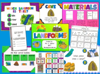
Landforms Promethean ActivInspire Flipchart Lesson
This flipchart lesson has everything you need to teach landforms to your students. It includes over 50 pages of interactivity, along with three printable pdfs (a landforms booklet, graphic organizer, and quiz) for formative assessment, reinforcement, and extra practice. Included within the flipchart are tons of voting along with graphic organizers, containers, games, and online resources. Make sure to read the page notes included by going to your notes browser. Directions are given on each page
Subjects:
Grades:
1st - 6th
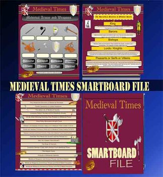
Medieval Times - Smartboard Whiteboard File Middle Ages 84 Slides
This Smartboard is a very visual presentation of Medieval concepts and ideas for the visual learners in your classroom. Medieval Times Unit includes 84 colourful pages/ slides.
Included are:
A)The Feudal System Pyramid (One Blank, One Completed),
B) Daily Life of Medieval Times Chart,
C) Comparison Chart - Today's Society Compared to Medieval Society
D) Circle Chart Showing Farming Crop Rotation
E) How A Boy Becomes A Knight
F) Outline to Fill in Today's Concerns and Medieval Concerns regard
Grades:
3rd - 6th
Also included in: Medieval Times - Middle Ages Bundle - PPT, PDF, Smartboard Files.
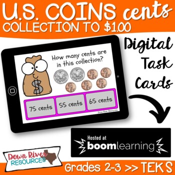
Second Grade Determine the Value of a Coin Collection TEKS Boom Cards {Set 1}
This deck of interactive, digital task cards will help your second grade students master personal financial literacy, including how to determine the value of a collection of coins up to one dollar. {Set 1 contains answer choices in "_ cents" format. Set 2 contains answer choices in "$0.00" dollar sign and decimal format.} This set can be used for distance learning or whenever you need your students to practice and apply this personal financial literacy skill. Kinesthetic learners enjoy using Boo
Grades:
2nd - 3rd
All About Landforms - Complete SMART Notebook Smartboard Lesson
This HUGE lesson has everything you need to teach landforms to your students. It includes over 54 pages of interactivity, along with printable PDFs (embedded) for formative assessment, reinforcement, and extra practice. Tons of voting along with graphic organizers, activity containers, games, and online resources. 16 popular landforms are covered including: river, pond, glacier, mountain, volcano, plain, plateau, island, & more! Colorful & fun!
Be sure to follow my blog for tons of fr
Grades:
2nd - 6th
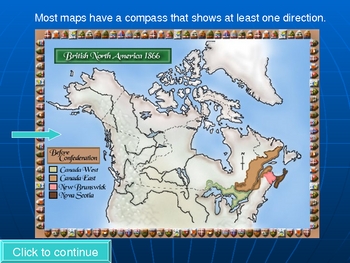
Reading maps PowerPoint lesson
This 12 slide PowerPoint covers such things as the compass and directions, the equator and lines of latitude and longitude, and hemispheres. It has bright and colorful pictures and includes many custom animations. The PowerPoint is designed to be done whole class, with or without an interactive whiteboard, or individually.By PowerPoint Maniac
******************************************************
Check out my other Social Studies Products!
Underground Railroad Activity
Australia Map and Timel
Grades:
2nd - 5th
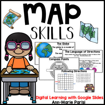
Map Skills Google Slides
This is a Google Slides interactive resource appropriate for DISTANCE LEARNING through online platforms such as Google Classroom.Help your students learn to read, interpret and create maps with all the fun activities included in this pack. What you will find:What is a map?The GlobeMaps Show PlacesThe Parts of a MapCompass RoseSymbols/Map KeyScaleTitle LabelsMap ChallengeBird's Eye View/Side ViewLet's Make Maps (desk, bedroom, classroom, park, school yard)Position and Location vocabularyInterpre
Grades:
1st - 3rd
Also included in: Map Skills & Continents and Oceans GOOGLE SLIDES BUNDLE
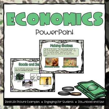
Economics Powerpoint
This file includes a 25-page powerpoint presentation featured around the topic of Economics. Topics included are:- What is Economics?- Needs and Wants- Goods and Services- Types of Resources (Human, Natural, Capital)- Producers and Consumers- Economics in Ancient Cultures- Specialization and Trade- Economic Choice and Opportunity CostMany pictures and examples are included on each slide. Real-life images and graphics are guaranteed to keep your students interested in the lesson.
Grades:
2nd - 4th
Also included in: Economics PowerPoint & Interactive Notebook Bundle
Longitude and Latitude SMART Notebook Activity
Students complete a SMARTboard activity using lines of longitude and latitude. I used this after showing students a clip about what longitude and latitude are in a station. These questions prompt students to use longitude and latitude to find states and continents. Students will need to use maps from an atlas to complete this activity.If you like this activity, check out my Acids and Bases Litmus Lab.Acids and Bases Lab♦ Interested in more of my RuthAnn Lane resources and products?Check out my w
Grades:
3rd - 6th
World Religions Digital Slides Bundle - Judaism, Islam, Christianity, & more!
Explore World Religions with these engaging digital slides. Discover the beliefs, practices, and origins of each religion. Learn about monotheism and polytheism. Explore world religions with short readings, collaborative discussions, and fun activities. These 8 digital slideshows about world religions covers Sikhism, Judaism, Christianity, Islam, Hinduism, Buddhism, World Religions, and Beliefs. Bundle Details:✦ A 2-week-long review of the major world religions ✦ Over 200 slides about world reli
Grades:
2nd - 4th
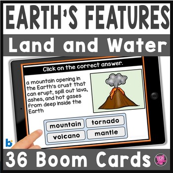
Landforms and Bodies of Water Digital Boom Cards
Give your students fun and interactive activities for identifying landforms and bodies of water with these 36 DIGITAL Boom Cards! This Features of the Earth deck covers rivers, streams, lakes, creeks, mountains, isthmuses, plateaus, peninsulas, valleys, volcanoes, and other landforms, saltwater and freshwater features of the earth. You will be able to use these Landforms and Bodies of Water social studies activities for:whole group teachingsocial studies centerssmall groupshomeworktestsThese Dig
Grades:
2nd - 4th
CCSS:
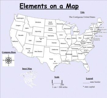
Elements on a map
This Smart Notebook focuses on the elements of a map. MUST HAVE SMART NOTEBOOK APPLICATION TO USE THIS PRODUCT. There are 8 key terms, including title, scale, compass rose, cardinal directions, intermediate directions, contiguous, inset map and legend. It is 4 slides long with visuals for each vocab word as well as a formal definition. It is followed by two pages of interactive practice for students.
Grades:
3rd - 7th
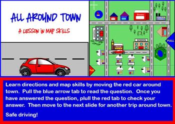
All Around Town Map Skills Lesson SMARTBOARD
This interactive smartboard lesson provides practice is cardinal directions and reading a map. A little red car can be moved around the board to make the lesson more concrete and easier to understand. Skills begin easy by asking what street buildings are on to get students accustomed to reading the map. As you move through the lesson, questions become more difficult and higher level thinking skills are needed. Students practice east, north, south, west, cardinal directions, locations on map,
Grades:
2nd - 5th

Gratitude Virtual SEL Room (Google Slides & PowerPoint)
This room is perfect for Thanksgiving or anytime of the year to teach gratitude/thankfulness. There are videos, books, and activities. The link for the Slide version is on the last slide. Control click on the words to open slide version. Make a copy (Under the file tab). You should delete the link slide before you share to students. I share as a PDF-so they can't move things and the links are still active.
Grades:
K - 5th, Not Grade Specific
Showing 1-24 of 193 results


