10,000+ results
Geography classroom decors
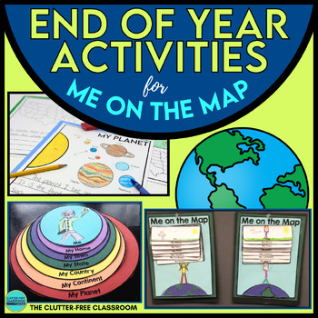
MOTHERS DAY WRITING CRAFT prompt paper Mothers Day Gift Project Me on the Map
This Mothers Day Writing Craft integrates Me on the Map Skills with a Mothers Day writing papers for a gift for mom and helps students understand where they are in relation to the Earth as a whole through a review of map skills and geography. Some fun Mothers Day Gift Ideas are to have the students add an I Love Mom Tee Shirt to the self-portrait section of the project or pairing it with prompts like, "Why My Mom is the Best on Earth" or "World's Best Mom" with supporting details.This Maps and G
Grades:
1st - 5th
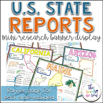
State Report Research and Banner Display Project
If you're looking for an alternative way for your students to research and report on states in the U.S., then look no further. These research banners are not only engaging and educational, they are also visually appealing and provide a great classroom/hallway display.This set includes:● 50 visually appealing state banners● 50 state banners with writing lines (and state flag)● 50 blank state banners for student creativity● Teacher lesson plan page (includes research web sites)● Student recording
Grades:
5th - 8th
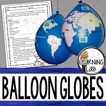
Geography - Balloon Globes - World Maps
World Geography can be boring for students but you can make it FUN! Your kiddos will LOVE creating their own globe using a balloon and cut-outs.This set includes: Student materials list and directions, detailed continent shapes, more broad continent shapes (easier cutting), compass graphic, continent labels, ocean labels, North Pole labels, reference map of the world. Balloon Suggestion (affiliate link): 12"latex balloons (100 count), Royal BlueDon't want to use a balloon? Some teachers hav
Subjects:
Grades:
3rd - 6th
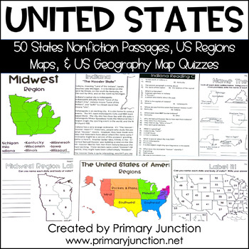
United States 50 States Reading Comprehension Passages Region Geography Map
Are you teaching a unit on United States geography or the 50 states and capitals, or would you like to incorporate some non-fiction informational texts into your instruction? These United States 50 States Reading Comprehension Passages and Region and Geography Maps will help you engage and teach your students interesting and important facts about each of the 50 states and their capitals, as well as assess students’ knowledge of each state’s location on a map. Each of the 50 state reading passag
Subjects:
Grades:
2nd - 5th
Types:
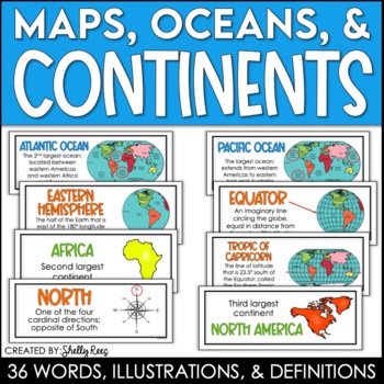
Continents and Oceans Maps and Posters | Geography and Maps Word Wall
Continents and Oceans and Map Skills can be fun to teach, especially when you have this great set of word wall cards. Each card includes the word, definition, and a clear, colorful illustration. Make a great bulletin board in just minutes!Click HERE to save 20% with the Continents, Oceans, and Map Skills BUNDLE!Please click on the PREVIEW above to get a clear picture of everything included.PERFECT for visually reinforcing landform vocabulary!This helpful continents, oceans, and maps word wall se
Grades:
2nd - 8th
Also included in: Maps, Continents and Oceans, Landforms, and Map Skills Bundle
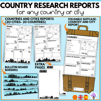
Country research project- city reports country study- English and Spanish
In this bundle you will find resources for your students to learn and discover different places in the world. The suitcase resource will guide your students in the search and organization of information. In addition, they will have a good time decorating the suitcases. In the bundle you will also find elements to decorate a bulletin board to show the work of your students.It includes:1. SUITCASE REPORTS:City reportCountry report/ country studyBlank template (creative writing, final product of a
Subjects:
Grades:
3rd - 5th
CCSS:
Also included in: Travel- Back to school Mega Bundle- Super pack Viajes bilingual
Map Skills - Me on the Map
Map Skills: Me on the map - Hi teachers! Are you beginning to teach your kiddos map skills? Well this unit might be just what you need. There are tons of activities included just take a look below:Vocabulary PostersMaps of the World: Identify ContinentsMaps of the Word: Identify OceansMaps of the World: Identify the Continent you live onDescribe a MapGlobe: Identify Poles, Equator, Continents, OceansDescribe a GlobeCompare and Contrast Globes and MapsSort Maps and GlobesIdentify Neighboring C
Subjects:
Grades:
K - 2nd
Types:
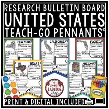
US United States and Capitals Report Research End of Year Project Bulletin Board
You will love these Creative Doodle United States Research Teach-Go Pennants™ that are perfect to start your research with and display on your bulletin boards. CLICK HERE TO CHECK OUT OVER 200 TEACH-GO PENNANTS™INCLUDED:Print & digital options included, see page 3 & 4 for digital info.All pages in BW options (see preview)Clickable Table of Contents These are research templates- actual research is not included.Grading Rubric includedBlank Pennant included if students want to draw their ow
Grades:
3rd - 5th
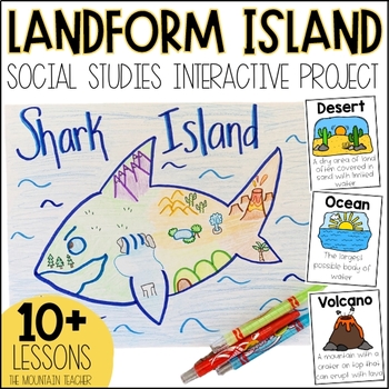
Landforms Project - Landform Island and Landforms and Body of Water Research
Engage your students in learning about landforms and bodies of water by having them apply their knowledge of these landforms and bodies of water to create a project... LANDFORM ISLAND! This creative social studies project is a hands-on geography activity perfect for your learners.What is the Landforms Project:Students will work alone or in groups to research 24 different landforms and bodies of water, draft a plan for their landform island, write all about their landform island and publish a pos
Subjects:
Grades:
1st - 3rd
Types:
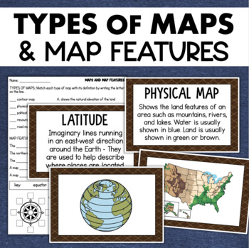
Types of Maps Map Features Skills Geography Posters Social Studies Assessment
Students will learn about different types of maps and common map features with this social studies resource. It includes 17 visuals/posters plus a worksheet/assessment.MAPS POSTERSThese can be kept together as a single page or cut apart into separate cards for display or a matching activity. The top of each card has the title and definition, and the bottom has a full-color illustration. WORKSHEETThis activity requires students to match the types of maps to their purpose, know the function of var
Subjects:
Grades:
3rd - 6th
Types:
Also included in: Geography Landforms & Bodies of Water Types of Maps Map Elements Posters
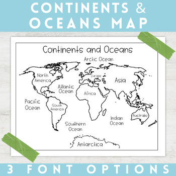
World Map Continents and Oceans | Black and White | Coloring Sheet
Enhance your minimalist classroom with these Black and White World Map with labeled Continents and Oceans!These black and white world map features each of the 7 continents and 5 oceans accurately labeled. These maps are great to print out, laminate, and hang up in a minimalist or neutral classroom. These maps are also great to print out and make copies for students to color! Please feel free to make copies of this resource for your students, or for your own kiddos.Updated 7/17/2022: There are no
Grades:
PreK - 9th
Types:
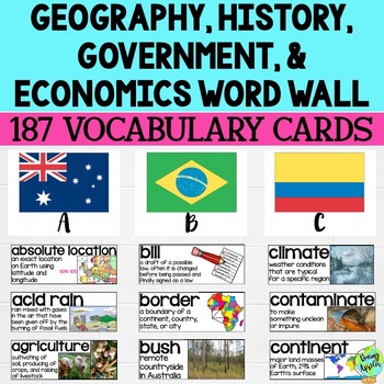
Social Studies Word Wall Vocabulary Cards, Bulletin Board Idea
This product is a word wall to help teach important social studies vocabulary words to students. It can also be used as a social studies bulletin board!The specific regions included are Europe, Australia, Latin America and the Caribbean, and Canada. However, the domains include geography, government, economy, and history, so this resource can be used in most social studies classrooms. Also, many terms are not specific to these regions and can be applied broadly.Each word card includes the vocabu
Grades:
3rd - 11th
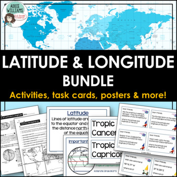
Latitude and Longitude Bundle - Activities, Task Cards, & Posters
Latitude and Longitude - Everything you need to teach and practice latitude and longitude skills! 1. Latitude & Longitude Reference Sheets and Activities - reference sheets, worksheets and activities to teach students how to find a spot on the globe using latitude and longitude. Includes answer keys. 11 pages.2. Latitude & Longitude Task Cards - 4 different sets of task cards (12 cards per set, Canadian set has 14) with varying degrees of difficulty. Includes answer keys. Includes se
Subjects:
Grades:
5th - 9th
Types:
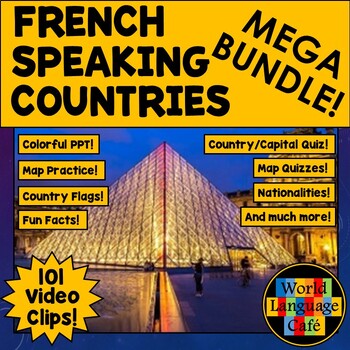
FRANCOPHONE COUNTRIES FRENCH SPEAKING COUNTRIES ⭐ Videos PPT Google Maps Quizzes
Do you struggle to make Francophone countries culture come alive? Want to bring your students on virtual field trips to all the major French speaking countries without ever leaving your classroom? Want to convince even your most reluctant learners to speak French so they can visit all these beautiful places? This is a whole year of Francophone culture. Hours of lesson plans including 101 Francophone countries video clips, colorful photos, facts, nationality practice, flashcards, a research pr
Subjects:
Grades:
2nd - 12th
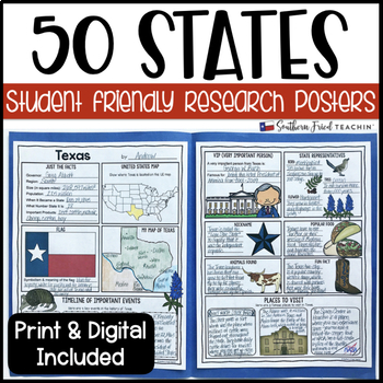
State (United States) Research Project Posters - Printable & Digital
States Research Project Posters are a fun and simple way for your students to research the states. These project posters are student friendly and help guide your students in what exactly to research. These posters are perfect for students to display their state research! And they look fabulous on a bulletin board or hallway display!This is part of my HUGE GROWING BUNDLE OF RESEARCH PROJECT POSTERS. This is includes ALL of my research project posters. Your students could become research experts a
Grades:
3rd - 8th
Types:
Also included in: GROWING BUNDLE Research Project Posters
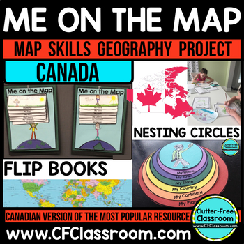
Me on the Map, CANADA - A Social Studies & Language Arts Project
This Canadian Me on the Map resource is based on Joan Sweeney's book, Me on the Map. While this book is based on American Geography, it would be beneficial to read the book with the project, but it is not necessary. Students design a layered step book to represent their place on the map. You may then have them create an art project of themselves on the earth to match the cover of the book. It makes a great bulletin board display and is such a fun way to practice map skills!This is an integrated
Grades:
1st - 5th
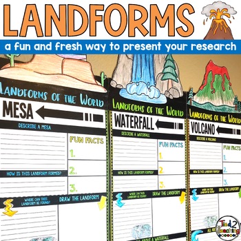
Landforms Research Report Template Project Informational Report Writing Reports
These Landform Informtional Writing Research Report Template Pennant Banners come with over 20 amazing pennants for displaying your landform research project on the amazing landforms from around the world. Perfect for any time of the year, these pennants are a great way to supplement your science instruction as well as help your students organize their research. Save time by integrating your science and ELA instruction! In addition to being excellent informational organizers for your students,
Subjects:
Grades:
3rd - 5th
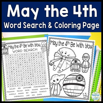
May the 4th Be With You Word Search: May the Fourth Word Search (Star Wars)
May the Fourth Be With You Word Search and BONUS Coloring Page: This resource is a print & go May 4th activity Word search is included with 2 different titles: May the 4th Be With You & Star Wars. FREE Star Wars coloring page included as well.Words included in this word search are: GALAXY JEDI LIGHTSABER STORMTROOPER PADAWAN TRILOGY EWOK WOOKIE DEATHSTAR AMIDALA ANAKIN REY OBIWAN HANSOLO CHEWBACCA LUKE LEIA DARTHWord search includes answer key in case your students get stumped!Happy Teac
Grades:
2nd - 5th
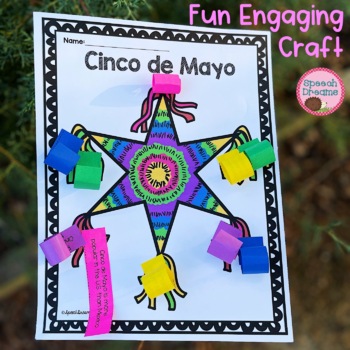
Cinco de Mayo Craft Activity | Mexico Country Study Facts for End of the Year
Plan a creative and engaging Cinco de Mayo craft activity with this super cute piñata to celebrate the 5th of May. This interactive Cinco de Mayo country study is sure to be a hit in your classroom. Your students will love completing this Mexican cultural activity as they learn facts about the holiday. 10 different facts to review about Cinco de Mayo blank strips that your students can use if you need to add different facts depending on their unit study improves fine motor skills real photo ins
Grades:
1st - 4th
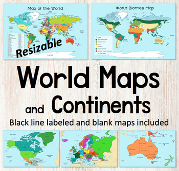
World Map and Continents Maps - World Biomes Map - USA Map - Color and Blank
This is a set of clear colored and black-line maps to use in your lesson preparation and teaching resources. Each of the twelve maps is provided in three versions1. Labeled color2. Labeled black -line3. Blank black-line The maps are orientated as rectangular landscape pages in easy to use PNG files. They feature the land on a blue water background. The images can be inserted into your documents and resized or clipped to focus on certain areas. The maps will remain clear when pulled out to 40
Subjects:
Grades:
Not Grade Specific
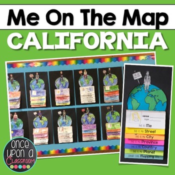
Me on the Map - California
I take requests!!! Need a different state? Different country? Email me at erinneb@yahoo.ca and I would be more than happy to make one for you!
Elevate your Local Community or Global Community units with this interactive mapping flip book! Not only will students gain an understanding of their place in the world but you will have the BEST bulletin board display in the entire school showcasing their amazing learning!
This pack includes:
1. Full page-by-page assembly instructions with pho
Grades:
K - 3rd
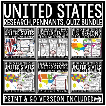
US Regions of the United States Geography States and Capitals Research Project
You will love having all your tools for teaching about the 50 United States with this Research Bundle. It includes State Research Pennants, Regions of the United States Pennants, 50 State Quizzes and more! I have bundled all my research templates into one easy money saving bundle. You will love having all these options for your students as you study throughout the year the 50 States of the United States. It is a great way to differentiate for your classroom. Kindly Note: Actual research is not i
Grades:
3rd - 5th
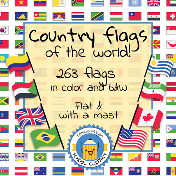
Country flags of the world: 263 Country flags - clip art bundle (1052 clips!)
Country flags of the world: 263 Country flags. HUGE clip art BUNDLE!
This clip art contains 263 flags, in 2 forms (flat and with mast) in color and black & white line art.
Contains all the flags of the countries of the world : 195 Countries.
Look at the complete list of flags by downloading the preview
A total of 1052 clips!
Included:
263 color flag (flat) clip art flag set- PNG format
263 B&W flag (flat) clip art set- PNG format
263 color flag (with mast) clip art set- PNG format
Grades:
PreK - 12th, Higher Education, Adult Education
The Seven Continents
Did you know that all the continents end with the same letter they start with!?EuropeAntarcticaAfricaAustraliaNorth AmericaSouth AmericaAsiaDid you know that The Statue of Liberty in the United States has 7 rays on her crown which represent the 7 continents!?This pack is full of fun facts and ways to help your students learn about the seven continents in an interactive way!----------------------------------------------------------------------------------------------This pack has over 60 pages to
Subjects:
Grades:
K - 3rd
Types:
Showing 1-24 of 10,000+ results

