1,673 results
High school Christmas-Chanukah-Kwanzaa geography posters
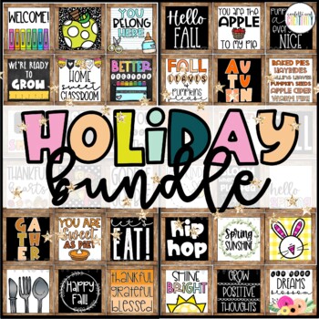
Farmhouse Holiday Decor Posters Bundle
Decorating for the holidays has never been so EASY! This bundle covers all of the major holidays and will compliment any farmhouse themed classroom and will also work perfectly with any other decor because of the black and white accents. ❤Check out this FREEBIE before purchasing!❤This bundle includes:9 farmhouse posters for each holidayBonus banners for each holidayThe following holidays include:❤Fall ❤Halloween ❤Thanksgiving❤Christmas ❤Winter ❤New Year's ❤Valentine's Day ❤St. Patrick's Day ❤
Grades:
PreK - 12th, Adult Education, Staff
Types:
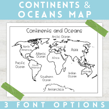
World Map Continents and Oceans | Black and White | Coloring Sheet
Enhance your minimalist classroom with these Black and White World Map with labeled Continents and Oceans!These black and white world map features each of the 7 continents and 5 oceans accurately labeled. These maps are great to print out, laminate, and hang up in a minimalist or neutral classroom. These maps are also great to print out and make copies for students to color! Please feel free to make copies of this resource for your students, or for your own kiddos.Updated 5/29/2024: There are no
Grades:
PreK - 9th
Types:
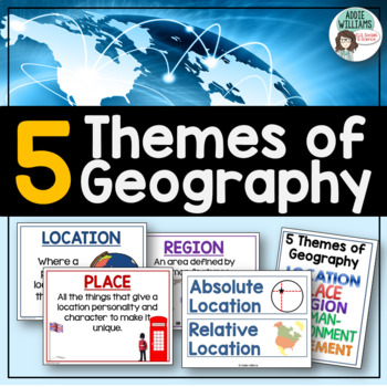
Five Themes of Geography Posters and Word Wall
Five Themes of Geography Poster and Word Wall Set - includes 16 posters and 16 word wall strips! One poster and word wall strip for each of the five themes and their sub-topics! Great way to help students remember and learn to apply the Five Themes!Location - Absolute and RelativePlace - Human and PhysicalRegion - Formal, Functional, and VernacularHuman Environment Interaction - Adapt, Depend, and InteractMovement Also, check out FREE Five Themes of Geography ProjectAddie Williams
Subjects:
Grades:
6th - 10th
Types:
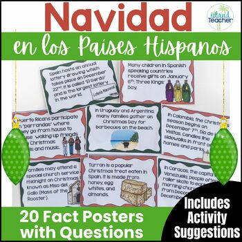
Spanish Christmas Activities Christmas in Spanish Speaking Countries Posters
Looking for an engaging cultural activity for Spanish students before winter break? Want your students to know more about Spanish speaking countries' Christmas traditions? Explore more about holidays around the world and get ready for Navidad en los países hispanos with these posters, worksheets, and activity suggestions for traditions and customs related to Christmas in Spanish speaking countries. Included in this set are the following resources:✅Teacher Tips and Activity Suggestions✅Navidad en
Grades:
4th - 10th
Types:
Also included in: Christmas in Spanish Speaking Countries Posters and Activities BUNDLE
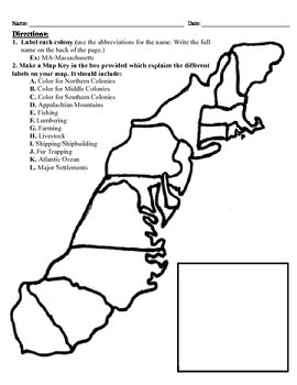
13 Colonies Map Project (8.5x11)
This project has three different differentiated levels for different levels of students, or to have them work up to... This project is set-up to print on 8.5x11 sheets of paper. In the first tier (the easiest), the students are given a map of the thirteen colonies and have to label each colony and then color the Northern/North Eastern Colonies, the Middle Colonies and the Southern Colonies different colors in a map key they create. In the second tier (medium difficulty), the students have to la
Subjects:
Grades:
3rd - 12th
Types:
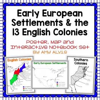
Early European Settlements & 13 English Colonies Poster and INB
This poster, map and interactive notebook INB set covers covers the early American settlements of Santa Fe, St. Augustine, Roanoke Island, Jamestown, Plymouth and Quebec as well as the original 13 colonies.You will get the following:pg. 3: Poster of Early European Settlements (Santa Fe, St. Augustine, Roanoke Island, Jamestown, Plymouth, and Quebec)pg. 4: Map of Early European Settlements where students can map where each settlement was.pg. 5-12: Posters of 13 Coloniespg. 13: Map page for stud
Grades:
5th - 9th
Latitude & Longitude + 5 Themes of Geography Anchor Charts
Latitude and Longitude are tricky concepts to teach! I print mini copies of these out for my students to place in their interactive notebooks and I have large copies hanging in my classroom as a reference guide. I have also included my 5 Themes of Teography reference charts as well.
Grades:
4th - 12th
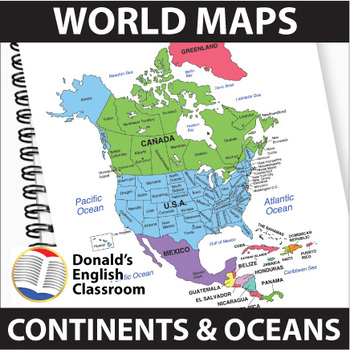
World Maps Continent and Ocean Maps ESL ELL Newcomer
Elevate your classroom with these vibrant and user-friendly World Maps, designed to captivate and inspire your students on their journey to mastering map skills! Boasting a spectrum of colors and clear readability, these 22 maps come both with and without name labels, providing versatility for various teaching approaches. Also included are black-and-white outlined versions, allowing your students to add their personal touch by coloring and labeling. A perfect blend of educational and creative e
Subjects:
Grades:
6th - 9th
Also included in: ESL High School Adult Giga Bundle Black and White ESL ELL Newcomer
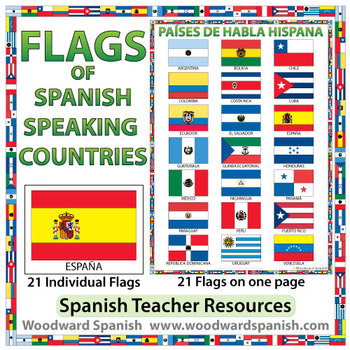
Flags of Spanish-speaking Countries
Flags of the 21 Spanish-speaking countries.
These flags are perfect for decorating the Spanish classroom. You may also want to laminate the flags and use them as large flashcards.
There are 21 individual flags of the following Spanish-speaking countries: Argentina, Bolivia, Chile, Colombia, Costa Rica, Cuba, Ecuador, El Salvador, España, Guatemala, Guinea Ecuatorial, Honduras, México, Nicaragua, Panamá, Paraguay, Perú, Puerto Rico, República Dominicana, Uruguay, Venezuela.
Each flag is on its
Subjects:
Grades:
1st - 12th, Adult Education
Also included in: Spanish Bundle – Spanish-speaking Countries and Capitals
Christmas in Spanish Speaking Countries Posters and Activities BUNDLE
Looking for an engaging cultural activity for Spanish students before winter break? Explore more about holidays around the world and get ready for Navidad en los países hispanos with these posters, worksheets and activity suggestions for traditions and customs related to Christmas in Spanish speaking countries.This Resource Includes:✅Detailed Teacher Tips and Activity Suggestions✅Navidad en los Países Hispanos Fact Recording Sheets✅Navidad en los Países Hispanos Question Sheets (In ENGLISH and S
Grades:
6th - 9th
Types:
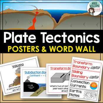
Plate Tectonics Posters - Volcanoes, Plate Boundaries, & Earthquake Faults
Plate Tectonics, Volcanoes, Earthquakes, and More! 24 posters and 30 word-wall strips to use in a plate tectonics unit to help your students learn and review the main concepts.Includes:- Types of volcanoes (Composite/stratovolcano, shield, cinder cone)- Plate Boundaries (Divergent, convergent... posters for each type)- Earthquakes & Faults (Normal, reverse, strike-slip/transform, focus, epicenter)Posters can be printed in black/white or in color! They look great laminated and posted on the w
Subjects:
Grades:
7th - 10th
Types:
CATHOLIC POSTER BUNDLE | Catholic Coloring Pages and Posters Activities
This huge bundle is full of 200+ Catholic posters and coloring pages which includes everything for the year (or more!). They're beautifully simple in design for Catholic learners of all ages. Print multiples per page to make perfect little takeaway cards for students to work on memorizing through the week. Or display on your bulletin board year-round. This resource was developed as a supplemental activity to enhance homeschool, Catholic schools, CCD, and Catechism studies.What's Included:Station
Subjects:
Grades:
PreK - 12th
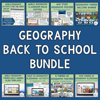
World Geography Back to School Bundle | Posters, Icebreaker, and Activities
Start your school year off right with this World Geography Back to School Bundle! This bundle features 10 popular resources that are specifically designed for teaching World Geography and preparing your classroom for the new school year!Immerse your students in the study of geography from day one with the resources in this bundle. These activities, posters, and learning tools will spark your students’ curiosity about the world and introduce foundational concepts of geography, such as "What is Ge
Grades:
6th - 9th
Types:
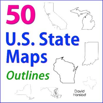
GEOGRAPHY | 50 U.S. State Maps Outlines (K-12)
GEOGRAPHY | 50 U.S. State Maps Outlines (K-12). Map outlines for all American occasions: history, physical, political, or specialty. Ideal for reports, labeling, or patriotic projects. Unfortunately, maps will not create a scaled puzzle. Preview same as Download.About the collection:Files are 8.5" x 11" in PDF & PNG. Product purchase is for organizational services. Maps are compiled from various free online sources and clarity is not always consistent. Please view Preview to see if maps mee
Grades:
K - 12th
Types:
Also included in: Top 20 Best Sellers
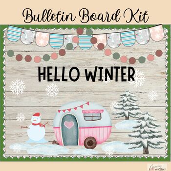
Winter Caravan - January Bulletin Board Kit or Door Decoration Classroom decor
What's included: 1 PNG file and 4 PDF filesPDF FILE: BordersPDF FILE: LettersPDF FILE: BuntingsPDF FILE: Board decor (1 size on 1 page and one picture 3 page)PNG FILE: letters3 lettering options:The letters with black and black outlines."WINTER WONDERLAND""OUR CLASS IS COOL""HELLO WINTER"Each page is the size 8.5 x 11 (US Letter paper)This will come as a ZIP file please ensure that you have the correct program to open ZIP files in order to access the download.This is a digital product, no physic
Grades:
PreK - 12th
Also included in: Bulletin Board Bundle | Winter & Christmas Bulletin Board Door Decor
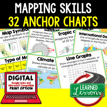
Mapping Skills Anchor Charts (World Geography Anchor Charts), Posters, Google
Mapping Skills Anchor Charts (Great as Bellringers, Word Walls, and Concept Boards), Mapping Skills Posters, Geography Review Pages, Digital Activity via Google Classroom This bundle will take your through the entire Geography curriculum. It will include all components of Geography. This is perfect for traveling around the world in style. THIS IS ALSO PART OF World Geography MEGA BUNDLE, Mapping Skills BUNDLE, Geography ANCHOR CHART BUNDLE Anchor charts are great for representing the topics
Grades:
6th - 12th
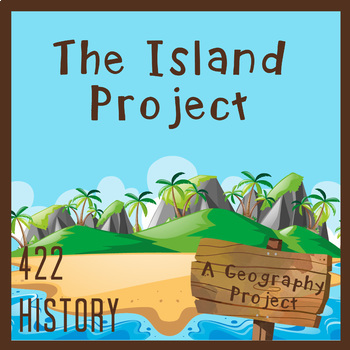
Create Your Own Island Geography Project
This Create Your Own Island Project is a great geography project for all of your students. There is a little something for every type of interest! The Island Project will incorporate map skills and knowledge of geography with writing, art, and a whole lot of creativity. I love using this project to get to know my students better and see some of their skills outside of typical educational experience. In this Island Project, your students will be challenged to design their own “recently discovered
Subjects:
Grades:
6th - 9th
Types:
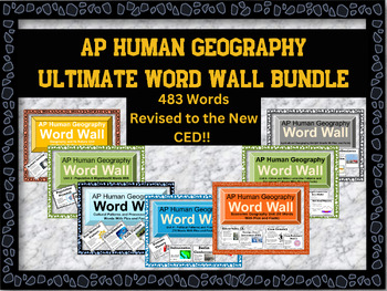
AP Human Geography Word Wall MEGA BUNDLE
This word wall has newly updated to the new CED and revised June 2023!This word wall has 438 words which are listed belowIf you're teaching AP Human Geography, then you know the immense amount of vocabulary your students need to know to be successful in the class. Help them out with these visually appealing word walls! Click on each word wall to see the list of words that are in the bundleFirst year or veteran teachers will love these. Print out all the words or the ones you are mainly teaching
Subjects:
Grades:
9th - 12th
Types:
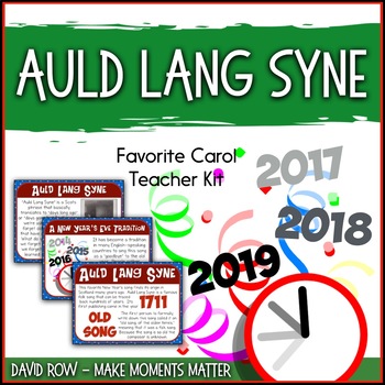
Favorite Carol - Auld Lang Syne Teacher Kit Christmas Carol
This “Favorite Carol” kit is intended to help you teach the song and reinforce historical content and vocabulary at the same time. The set could be printed out and posted on a bulletin board or used as reference cards as you teach the lesson. I know there are some folks on carts or who primarily use digital projectors so I’ve included a PowerPoint format of the set as well. I love teaching carols to my students! There are so many well-known and well-loved tunes to teach to students, wonderf
Grades:
PreK - 12th
Also included in: Favorite Carols BUNDLE TWO – 10 Song Teacher Kit Christmas Carol
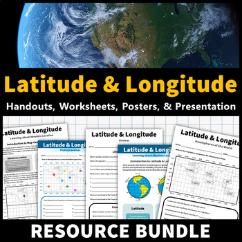
Latitude and Longitude Activities | Map Skills Worksheets Posters Presentation
Learning about latitude and longitude is fun and easy with this resource bundle! This ready-to-use no prep value bundle teaches students about latitude and longitude, the hemispheres of the world, major lines of latitude and longitude (Equator, Prime Meridian, Tropic of Cancer and Capricorn, Arctic and Antarctic Circle), and finding locations using geographic coordinates! This bundle includes: Four handouts introducing latitude and longitude, the world's hemispheres, absolute and relative locati
Grades:
5th - 9th
Types:
CCSS:
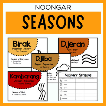
Noongar Australian Aboriginal Seasons Calendar & Worksheet - Nyoongar
✏️ Celebrate the rich cultural heritage of the Noongar Indigenous Aboriginal Australians with our Seasons Calendar & Worksheet! This comprehensive resource includes 7 display posters (with an alternate spelling of Nyoongar) and a worksheet to help students learn about the traditional Noongar seasons. With a link to the Indigenous Weather Map, this resource is an excellent tool to support teaching and learning about Indigenous culture and weather patterns. What's Included?7 Display Posters (+
Subjects:
Grades:
PreK - 12th
Also included in: Noongar Vocabulary Bundle | Aboriginal Language Resource
Early American History Anchor Charts Mega Bundle!
This is a mega bundle of anchor charts that will cover Early American History: Colonialism through Reconstruction, but they can be used by any American History teacher. This bundle currently contains 244 Anchor Charts. This is less than $.25 an anchor chart!Additionally, I am adding Black and White/Grey copies of many of the anchor charts. These are not new charts, but ones that will copy easy and cleanly for student handouts. This is a bonus file for bundle purchasesIf you are not intereste
Grades:
4th - 11th
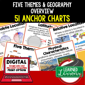
Five Themes of Geography Anchor Charts (World Geography Anchor Charts), Posters
Five Themes and Geography Anchor Charts (Great as Bellringers, Word Walls, and Concept Boards), Five Themes Posters, Geography Review Pages, Google Classroom, Print & Digital Distance Learning This bundle will take your through the entire Geography curriculum. It will include all components of Geography. This is perfect for traveling around the world in style. THIS IS ALSO PART OF World Geography MEGA BUNDLE, Five Themes BUNDLE, Geography ANCHOR CHART BUNDLE Anchor charts are great for
Grades:
6th - 12th
Types:
Ancient World History Anchor Charts--Growing Bundle!
This is a growing bundle of anchor charts that will cover World History: Early Man through the Renaissance This bundle currently contains more than 170 Anchor Charts. This Bundle was last updated on October 1, 2023If you are not interested in the growing bundle, each unit is sold separately in my TPT Store.There are many ways to incorporate Anchor Charts into the classroom. Teachers can project or print these anchor charts one to a page for a classroom reference tool or print 4 to a page to mak
Grades:
4th - 9th
Showing 1-24 of 1,673 results


