4,170 results
4th grade study skills geography classroom decors
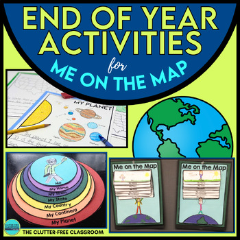
End of the Year Craft Activity Last Week of School Me on the Map Skills Review
Looking for an End of Year Craft Activity to Review Map Skills? Want a Last Week of School Writing Project? This Me on the Map flip book and summer writing pages are perfect for 1st, 2nd, 3rd or 4th grade students!This Maps and Globes activities pack has 8600+ POSITIVE REVIEWS and is the original & most highly-rated Me on the Map Project Activity Bundle on TpT. Teach map skills with crafts, printable worksheets, flip books & a nesting circle craftivity for the book by Joan Sweeney.It wil
Subjects:
Grades:
1st - 5th
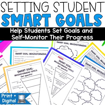
Back to School Activities SMART Goal Setting Templates Students Sheets
Goal Setting, perfect for the New Year! Looking to make student SMART goal setting a focus in your classroom? This print-and-go set is perfect to help you kick off the school year or use any time with the easy-to-use templates, activities, and forms included.Students will be creating their own learning goals. This goal setting and student tracking set will have your students expressing their hopes and goals for the upcoming year and create ways to help them meet those goals, too. This pack has e
Grades:
3rd - 5th
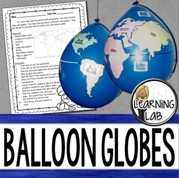
Geography - Balloon Globes - World Maps
World Geography can be boring for students but you can make it FUN! Your kiddos will LOVE creating their own globe using a balloon and cut-outs.This set includes: Student materials list and directions, detailed continent shapes, more broad continent shapes (easier cutting), compass graphic, continent labels, ocean labels, North Pole labels, reference map of the world. Balloon Suggestion (affiliate link): 12"latex balloons (100 count), Royal BlueDon't want to use a balloon? Some teachers hav
Subjects:
Grades:
3rd - 6th
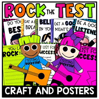
Rock Out the Test Craft and Posters | Testing Motivation | Test Prep Activities
Do you need something to display to dress up those bland walls during standardized testing? These Rock Out the Test Rock Star crafts and posters should do the trick! Use this resource for testing motivation during standardized test prep!This resource includes: Set List for Success Mini Anchor ChartShhh! We are Rockin' the test! Poster for classroom door7 Set List for Success Posters {These are great to display for students when practicing for standardized testing as visual reminders.}Rock sta
Subjects:
Grades:
K - 5th
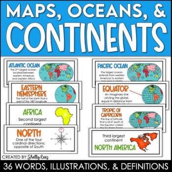
Continents and Oceans Maps and Posters | Geography and Maps Word Wall
Continents and Oceans and Map Skills can be fun to teach, especially when you have this great set of word wall cards. Each card includes the word, definition, and a clear, colorful illustration. Make a great bulletin board in just minutes!Click HERE to save 20% with the Continents, Oceans, and Map Skills BUNDLE!Please click on the PREVIEW above to get a clear picture of everything included.PERFECT for visually reinforcing landform vocabulary!This helpful continents, oceans, and maps word wall se
Grades:
2nd - 8th
Also included in: Maps, Continents and Oceans, Landforms, and Map Skills Bundle
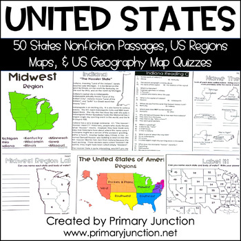
United States 50 States Reading Comprehension Passages Region Geography Map
Are you teaching a unit on United States geography or the 50 states and capitals, or would you like to incorporate some non-fiction informational texts into your instruction? These United States 50 States Reading Comprehension Passages and Region and Geography Maps will help you engage and teach your students interesting and important facts about each of the 50 states and their capitals, as well as assess students’ knowledge of each state’s location on a map. Each of the 50 state reading passag
Subjects:
Grades:
2nd - 5th
Types:
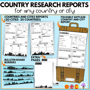
Country research project- city reports country study- English and Spanish
In this bundle you will find resources for your students to learn and discover different places in the world. The suitcase resource will guide your students in the search and organization of information. In addition, they will have a good time decorating the suitcases. In the bundle you will also find elements to decorate a bulletin board to show the work of your students.It includes:1. SUITCASE REPORTS:City reportCountry report/ country studyBlank template (creative writing, final product of a
Subjects:
Grades:
3rd - 5th
CCSS:
Also included in: Travel- Back to school Mega Bundle- Super pack Viajes bilingual
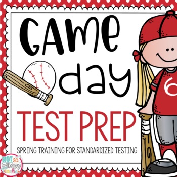
Test Prep: Game Day
Make standardized test prep more exciting with a baseball theme! Instead of calling it test prep, call it Spring Training. And instead of test day, call it Game Day!!! This unit is full of printables and craftivities that will make your Spring Training test prep so much more fun and meaningful!Included:DirectionsLetter to Parents (3 versions) asking for "fan mail" for game daySpring Training Goals Writing and CraftGame Day Playbook (2 versions of writing paper)- use for test prep strategies, voc
Grades:
2nd - 5th
Types:
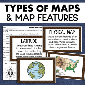
Types of Maps Map Features Skills Geography Posters Social Studies Assessment
Students will learn about different types of maps and common map features with this social studies resource. It includes 17 visuals/posters plus a worksheet/assessment.MAPS POSTERSThese can be kept together as a single page or cut apart into separate cards for display or a matching activity. The top of each card has the title and definition, and the bottom has a full-color illustration. WORKSHEETThis activity requires students to match the types of maps to their purpose, know the function of var
Subjects:
Grades:
3rd - 6th
Types:
Also included in: Geography Landforms & Bodies of Water Types of Maps Map Elements Posters
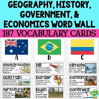
Social Studies Word Wall Vocabulary Cards, Bulletin Board Idea
This product is a word wall to help teach important social studies vocabulary words to students. It can also be used as a social studies bulletin board!The specific regions included are Europe, Australia, Latin America and the Caribbean, and Canada. However, the domains include geography, government, economy, and history, so this resource can be used in most social studies classrooms. Also, many terms are not specific to these regions and can be applied broadly.Each word card includes the vocabu
Grades:
3rd - 11th
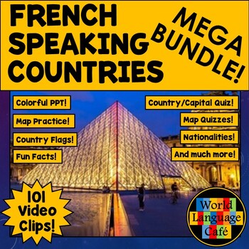
FRANCOPHONE COUNTRIES FRENCH SPEAKING COUNTRIES ⭐ Videos PPT Google Maps Quizzes
Do you struggle to make Francophone countries culture come alive? Want to bring your students on virtual field trips to all the major French speaking countries without ever leaving your classroom? Want to convince even your most reluctant learners to speak French so they can visit all these beautiful places? This is a whole year of Francophone culture. Hours of lesson plans including 101 Francophone countries video clips, colorful photos, facts, nationality practice, flashcards, a research pr
Subjects:
Grades:
2nd - 12th
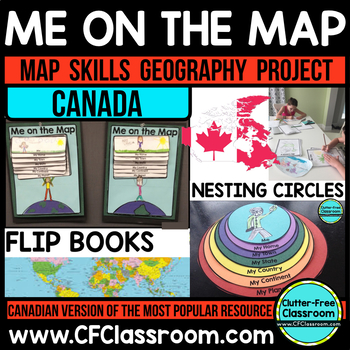
Me on the Map, CANADA - A Social Studies & Language Arts Project
This Canadian Me on the Map resource is based on Joan Sweeney's book, Me on the Map. While this book is based on American Geography, it would be beneficial to read the book with the project, but it is not necessary. Students design a layered step book to represent their place on the map. You may then have them create an art project of themselves on the earth to match the cover of the book. It makes a great bulletin board display and is such a fun way to practice map skills!This is an integrated
Grades:
1st - 5th
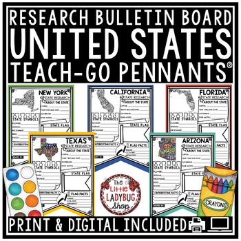
US United States and Capitals Report Research End of Year Project Bulletin Board
You will love these Creative Doodle United States Research Teach-Go Pennants™ that are perfect to start your research with and display on your bulletin boards. CLICK HERE TO CHECK OUT OVER 200 TEACH-GO PENNANTS™INCLUDED:Print & digital options included, see page 3 & 4 for digital info.All pages in BW options (see preview)Clickable Table of Contents These are research templates- actual research is not included.Grading Rubric includedBlank Pennant included if students want to draw their ow
Grades:
3rd - 5th
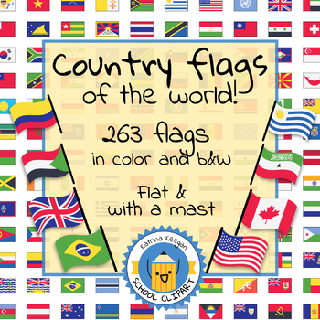
Country flags of the world: 263 Country flags - clip art bundle (1052 clips!)
Country flags of the world: 263 Country flags. HUGE clip art BUNDLE!
This clip art contains 263 flags, in 2 forms (flat and with mast) in color and black & white line art.
Contains all the flags of the countries of the world : 195 Countries.
Look at the complete list of flags by downloading the preview
A total of 1052 clips!
Included:
263 color flag (flat) clip art flag set- PNG format
263 B&W flag (flat) clip art set- PNG format
263 color flag (with mast) clip art set- PNG format
Grades:
PreK - 12th, Higher Education, Adult Education
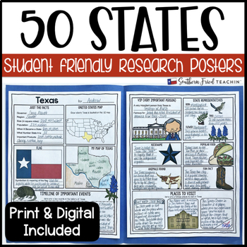
State (United States) Research Project Posters - Printable & Digital
States Research Project Posters are a fun and simple way for your students to research the states. These project posters are student friendly and help guide your students in what exactly to research. These posters are perfect for students to display their state research! And they look fabulous on a bulletin board or hallway display!This is part of my HUGE GROWING BUNDLE OF RESEARCH PROJECT POSTERS. This is includes ALL of my research project posters. Your students could become research experts a
Grades:
3rd - 8th
Types:
Also included in: GROWING BUNDLE Research Project Posters
US Regions of the United States Geography States and Capitals Research Project
You will love having all your tools for teaching about the 50 United States with this Research Bundle. It includes State Research Pennants, Regions of the United States Pennants, 50 State Quizzes and more! I have bundled all my research templates into one easy money saving bundle. You will love having all these options for your students as you study throughout the year the 50 States of the United States. It is a great way to differentiate for your classroom. Kindly Note: Actual research is not i
Grades:
3rd - 5th
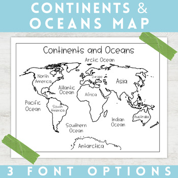
World Map Continents and Oceans | Black and White | Coloring Sheet
Enhance your minimalist classroom with these Black and White World Map with labeled Continents and Oceans!These black and white world map features each of the 7 continents and 5 oceans accurately labeled. These maps are great to print out, laminate, and hang up in a minimalist or neutral classroom. These maps are also great to print out and make copies for students to color! Please feel free to make copies of this resource for your students, or for your own kiddos.Updated 5/29/2024: There are no
Grades:
PreK - 9th
Types:
Map Skills: Latitude and Longitude
Geography is such an abstract and difficult concept for students, but it is important that they begin to orient themselves as they read, learn and discover more about the world around them. This set has helped my classes make the abstract more concrete.
-Vocabulary Foldable (pages 3-4)
-Vocabulary Cards and picture cards (pages 5-8)
-CLOSE Read about Longitude and Latitude
-An adapted Craftivity (pages 9-12)
-Written Reflection (differentiated) (pages 13-14)
-Performance Task/ Group Challenge
Grades:
3rd - 7th
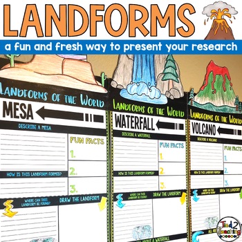
Landforms Research Report Template Project Informational Report Writing Reports
These Landform Informtional Writing Research Report Template Pennant Banners come with over 20 amazing pennants for displaying your landform research project on the amazing landforms from around the world. Perfect for any time of the year, these pennants are a great way to supplement your science instruction as well as help your students organize their research. Save time by integrating your science and ELA instruction! In addition to being excellent informational organizers for your students,
Subjects:
Grades:
3rd - 5th
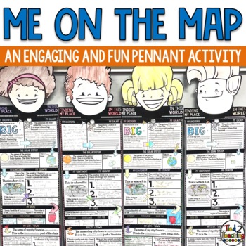
Me On the Map Activities
As you begin to work on map skills and geography this year, this me on a map activity is a fun way to help your students understand their place in this world. These pennants are the perfect way to integrate social studies, geography, literacy, and fun with the celebration of the uniqueness of each student. As students complete this fun activity they will show that there is only one special "Me" in the universe. Celebrate each child as being special and unique as they share about their place in
Grades:
2nd - 6th
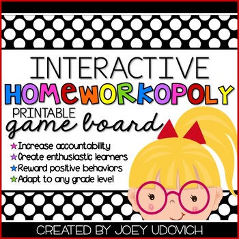
Homeworkopoly: "A Bit of Bright Colors" Theme
UPDATED JULY 1, 2014
This product is a take on the classic "Homeworkopoly" game board. I have used it in my classroom for five years and have seen my kids day after day rush to the board, roll the die, and move their game piece to see what their reward is! They love it and I love the fact that they are doing their homework! With this product, you will get the following:
*Directions on how to assemble.
*1 page of final product pictures
*12 EDITABLE game board sections (You add the names of
Grades:
2nd - 6th
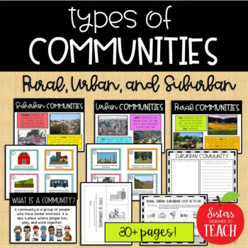
Types of Communities │Rural, Urban, & Suburban
This is the perfect bundle to use when teaching your students about the different types of communities (rural, suburban, and urban)! Your students will enjoy these hands on activities and task cards, which are great to use in centers. Posters are also provided for your students to refer to. Included in this bundle:-"What is a Community" Poster-Rural Communities Poster-Urban Communities Poster-Suburban Communities Poster-Rural, Urban, and Suburban Picture Cards (1 page each, 4 images to a page)-R
Subjects:
Grades:
K - 6th
Types:
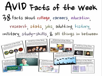
AVID Facts of the Week (REVISED AND EXPANDED FOR 2023-2024)
THIS IS A MUST-HAVE FOR ANY TEACHER LOOKING TO BRING AVID TO A CLASSROOM OR AN ENTIRE SCHOOL. NO-PREP NEEDED TO PRESENT STUDENTS OF ALL AGES WITH THOUGHT-PROVOKING, DISCUSSION-STARTING, OR WRITING-PROMPT-GENERATING CONTENT EVERY WEEK OF THE SCHOOL YEAR. ENJOY!This download includes a PowerPoint with 39 digestible fast-facts that encourage students to stay in school and go on to higher education. All slides are designed with text and visuals to promote discussion and provoke thought.The AVID f
Grades:
4th - 12th, Higher Education
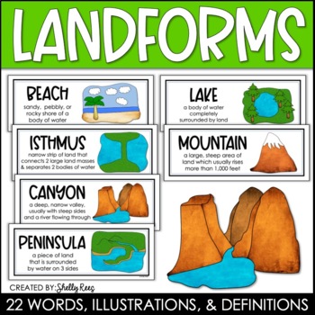
Landforms and Bodies of Water Posters and Word Wall
Landforms and bodies of water can be fun and easy to teach, especially when you have this beautiful set of word wall cards. Each card includes the word, definition, and a clear, colorful illustration. EASILY make an amazing landforms wall display in minutes!Click HERE to save 20% with the Continents, Oceans, Maps, and Landforms BUNDLE!Please click on the PREVIEW above to get a clear picture of everything included.This complete landform word wall set includes 22 vocabulary posters:basinbaybeachca
Grades:
3rd - 6th
Also included in: Maps, Continents and Oceans, Landforms, and Map Skills Bundle
Showing 1-24 of 4,170 results


