1,041 results
Free 12th grade geography activities
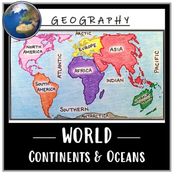
World Map Activity- Label & Color the Continents and Oceans! (Google Compatible)
Use this Continents & Oceans Map Coloring activity to jump-start your lesson! Each student will make their own, personalized world map that focuses on labeling and coloring the continents and oceans, all while enhancing their knowledge of the earth. After the map activity, your students can test their skills with a blank map assessment! A completed, colored map is included to use as reference. This resource is Google compatible, but the blank map is intended to be printed for coloring and
Grades:
5th - 12th
Types:
CCSS:
Also included in: Ancient Civilizations / World Maps BUNDLE- Color & Label Activities!
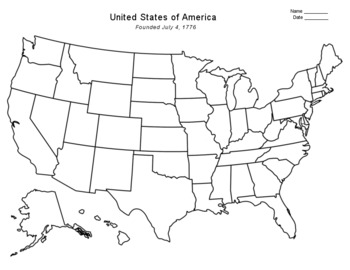
Free - Blank US Map
FREE - Blank US Map. A free, blank US map outline and a northeast-southeast region map. -------------------------------------------------------------------------------------------------------------And for one-stop shopping...SOCIAL STUDIESBundle - US History & US GeographyCalifornia & USA BundleFlorida & USA BundleNew York & USA BundleUS Presidents w/ 12 Graphic OrganizersState Report with Project and Speech - assignment sheetTexas & USA BundleUS States (50 internet
Grades:
PreK - 12th
Types:
Also included in: Top Sellers on TpT
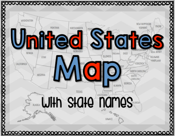
United States Map with State Names
You're search for the PERFECT United States map is over!
This black and white version has student learning in mind and contains the FULL STATE NAMES! This map is also part of my larger bundle on the Electoral College.
Click here to view it!
If you have any questions regarding any part of this product, please do not hesitate to contact me.
Thank you!
Subjects:
Grades:
1st - 12th, Higher Education, Staff
Types:
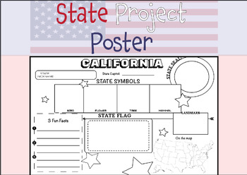
50 STATE RESEARCH PROJECT
These State Report poster templates are a fantastic resource that includes over 50 eye-catching posters to showcase your research project on any of the fifty United States. They are perfect for use throughout the year and are an excellent complement to social studies lessons, helping students to better organize their research. These state posters are not only useful for helping students to organize their research, but they also make great bulletin boards or hallway displays. Your students will b
Subjects:
Grades:
3rd - 12th, Higher Education, Adult Education
Types:
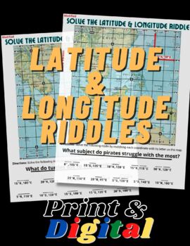
FUN Latitude & Longitude Riddles
This product includes TWO fun and engaging worksheets that will help students practice finding absolute location using their latitude & longitude skills. Both maps include an example to show students how to locate coordinates and how to write them. This product is bundled with the print and digital options. The digital version in in Google Slides format and simple to use!
Grades:
5th - 12th
Types:
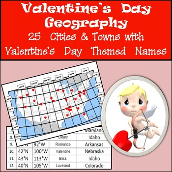
Latitude and Longitude Activity - Valentine's Day, USA
Valentine's Day - Latitude and Longitude. Thinking of a way to keep students focused on Valentine's Day? Here is a great way to keep the theme of Valentine's Day going while giving students an opportunity to reinforce their latitude and longitude skills at the same time. Included in this activity are the coordinates and names of 25 cities/towns in the United States with Valentine's Day themed names. Students plot the coordinates on the map provided with a little heart and then identify whic
Subjects:
Grades:
4th - 12th
Types:
World Map Activity: Basic Geography
Students will need to view a map to complete this activity. This is great for the beginning of the school year to help students either learn or review major features of the world map. Follow my store for more great products!
Grades:
4th - 12th
Types:
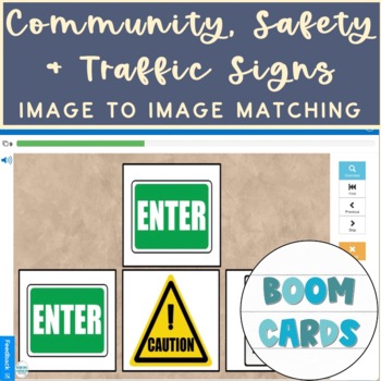
Community, Safety & Traffic Signs Identical Image to Image Matching Boom Cards 3
For this community instruction based lesson, students are presented with varying community, traffic, or safety signs visually/in image form. Students are asked to review the provided sign and match it to its identical sign, out of an array of three images. Students will work on identifying alike images, identifying safety signs, and more!Preview the deck of boom cards with the following link: Click hereRelated Products• Life Skills Community Helpers & Occupations Errorless Yes/No Questions
Subjects:
Grades:
1st - 12th, Higher Education, Adult Education
Types:
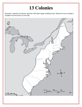
13 Original British Colonies Blank Map
This is a map of the original 13 British Colonies that is blank and able to be filled out by students. The directions also state that students are to color the three regions and include a key and compass rose on their maps. Great way for the students to learn about the 13 Original colonies.
If you like this printable, please visit my store and see what else I have!!! www.teacherspayteachers.com/store/Kathryn-B
Subjects:
Grades:
5th - 12th
Types:
50 States Word Search
Here is an activity you could use after a 50 States test or as a way for students to become familiar with the names of the states. I have used this activity in the past after a Geography test to keep students occupied during the last 10 minutes of the class period while students who take a little longer on their test can finish without any distractions. Works like a charm every time and I believe any time students are exposed to vocabulary it is a good refresher for them.
Check out some of m
Subjects:
Grades:
3rd - 12th
Types:
Also included in: 50 States Activities Bundle - Four Different Activities
Europe PEGS Factors Practice Activity and Worksheet | Social Studies | Google
Examine Europe by looking at its PEGS factors (Political, Economic, Geographic, Social). Challenge students to classify & analyze facts about the continent by completing a fun, practice activity.Social Studies curriculum changes focus, sometimes drastically, from year to year. The PEGS factors are common themes that unite all SS classes. Similar ideas are taught as PESTLE, STEEP, or PEST. Building a strong foundation with these concepts leads to vertical alignment across grade levels. Use PE
Grades:
5th - 12th
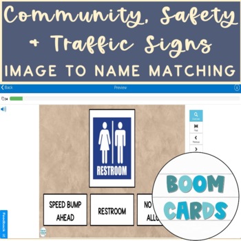
Community, Safety & Traffic Signs Vocab Image to Name Matching Boom Cards 3
For this community instruction based lesson, students are presented with varying community, traffic, or safety signs visually/in image form. Students will work on their functional vocabulary skills by identifying the sign's name. Students are asked to review the provided sign and match it to its name, out of an array of three . Students will work on identifying images, identifying safety signs, functional vocabulary and more!Related Products• Community, Safety & Traffic Signs Identical Imag
Subjects:
Grades:
1st - 12th, Higher Education, Adult Education
Types:

Would You Rather FREEBIE Travel the World - Middle and High School
Would You Rather Travel the World Freebie for middle school and high school! This Google slideshow includes 5 Would You Rather questions and one slide with additional conversation questions. Perfect for a beginning-of-class icebreaker, brain breaks, those last days before a break, or any time you want to get your students engaged and talking!Purchase the full Would You Rather Travel the World slideshow with 40 additional prompts here. Enjoy!You might also enjoy: 50 States Would You Rather Would
Grades:
5th - 12th, Staff
Types:

Climate Change Using NASA Imagery
Students will explore and understand the impact of climate change on our world in this quick and easy activity. This activity uses real world data and easy to understand imagery.
Subjects:
Grades:
9th - 12th
Types:
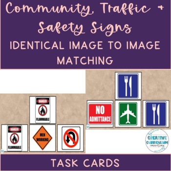
Community, Safety & Traffic Signs Identical Image to Image Matching Task Cards 2
For this community instruction based lesson, students are presented with varying community, traffic, or safety signs visually/in image form. Students are asked to review the provided sign and match it to its identical sign, out of an array of three images. Students will work on identifying alike images, identifying safety signs, and more!Task cards are great for running academic goals 1:1 with a student, in discrete trial format, or even as a group activity. Access my free data sheet to support
Subjects:
Grades:
1st - 12th, Higher Education, Adult Education
Types:
Also included in: Identical & Non-Identical Picture Matching Task Cards GROWING BUNDLE
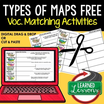
Types of Maps Vocabulary Matching for Distance Learning & Print, Google FREE
Types of Maps Vocabulary Matching for Distance Learning & Print, Google Link Geography Activity These geography vocabulary matching pages are perfect for your visual learners. Students can digitally drag and drop definitions, vocabulary words, and images. This activity also has a print version for students to cut and paste matching definitions, images, and words. This is a great activity for vocabulary review for English as a Second Language Learners, ESL, and ESS students. This is also
Grades:
7th - 12th
Types:
Also included in: LOUISIANA HISTORY ACTIVITIES MEGA BUNDLE Louisiana History Curriculum
Geography Island Map Project - FREEBIE
This packet contains two pages for students as a guideline and checklist, a rubric for grading, and examples of completed student products.
I created the Island Map Project to enhance geography units! Depending upon what you feel comfortable with, you can have students complete this project independently, with a partner, or small groups. Last year I only allowed independent or partner work.
UPDATED: For the rubric, there are two different page options. One had 3D elements as an option for ext
Grades:
4th - 12th
Types:
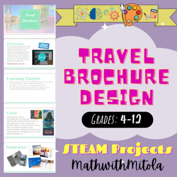
Travel Brochure Design - STEM / STEAM Project - Art
You are a Travel Agent hired by a client to provide information about a specific international destination of your choosing. You must design a travel brochure for that destination that will both provide information about the culture, cuisine, and attractions and convince them that they simply have to go see it. You will be using an online design program called Canva to create your brochure.
Grades:
4th - 12th
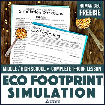
Eco Footprint Natural Resource Simulation | Human World Geography
Open your students' eyes (and ears!) to the vastly different eco footprints across the planet as they witness the consumption levels of citizens from various nations with this FREE activity. This print-and-go lesson is the perfect way to kick-off off your exploration of this very real topic in your Human Geography, Contemporary World Problems, Environmental Science, or Ecology course!All you need to add are some popcorn kernels! Greatness is creating a meaningful understanding out of abstract nu
Subjects:
Grades:
7th - 12th
Types:
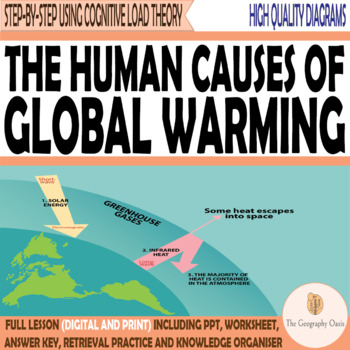
The Human Causes of Global Warming [Geography| Social Studies| Printable and Dig
The Human Causes of Climate ChangeThis resource focuses on the greenhouse effect and five human causes of global warming. Content:- A look at the greenhouse effect at a range of scales.- The macro-scale factors that are increasing greenhouse gases in the atmosphere.- A consideration of what/who is to blame and how these sectors may change in the future.Resources are:- FACE TO FACE READY- Word Document/PDF/PowerPoint- printable resources for delivery in the classroom.- REMOTE READY- Suitable for
Grades:
9th - 12th
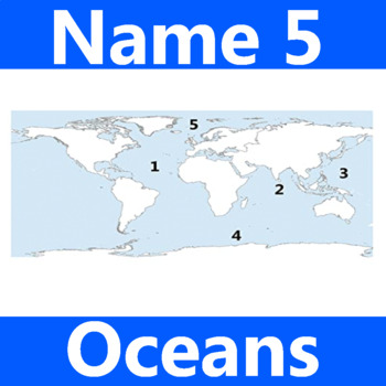
Name 5 Oceans Geography Classroom Activity Map Worksheet 1st-4th Grade
This is the perfect classroom activity for 1st, 2nd, 3rd, and 4th Grade students who are learning where the different oceans are. This five question geography worksheet has them finding and naming the different oceans of the world.
Grades:
PreK - 12th, Higher Education, Adult Education, Staff
Types:
Longitude and Latitude Scoot
Have your students get more experience learning Longitude and Latitude through scoot! MAPS ARE NOT INCLUDED Aligned with maps from A History of the World Textbook. How to Play Scoot 1) Each child needs a scoot recording sheet, and a pencil 2) Put each numbered card at student desks. Cards should be distributed clockwise for easy recording 3) Students will work on the card in front of them, when ready teacher will say "scoot!" 4) Everyone shifts to the desk with the next number. 5) Continue until
Grades:
4th - 12th
Types:
Free High School Travel Brochure Project
Resource Description:This free project resource is a great way to introduce research and self-directed project-based learning activities. Students study one hypothetical travel destination and create a brochure to persuade travelers to visit that destination. Note: The PDF is not editable.Check out these free learning activities relevant to educational travel:Educational Travel Planning ChecklistEducational Travel Project-Based Learning Assessment PortfolioIf you like this resource check out the
Subjects:
Grades:
9th - 12th

A Long Walk to Water Reading Guide
This lesson set goes along with the book A Long Walk to Water. An excellent read with a powerful message. A full work packet and teacher guide are included at the H2O for Life Website.
Subjects:
Grades:
5th - 12th
Types:
Showing 1-24 of 1,041 results


