1,203 results
Geography independent works by TpT sellers for TpT sellers on sale
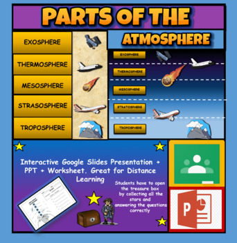
Layers Of The Atmosphere: Interactive Google Slides + PPT Version + Worksheet
Layers Of The Atmosphere: Interactive Google Slides + PPT + Worksheet (Distance Learning)Interactive presentation & quiz on Layers of the atmosphere. Please view the powerpoint previewINTERACTIVE GOOGLE SLIDES/POWER POINT PRESENTATION on layers of the atmosphere. It can be used for distance learning and google classroom or within the classroom.Once downloaded: Please view the GOOGLE SLIDES/POWERPOINT IN 'PRESENT ▶️' modeWorksheet also included in ZIP file 'Parts of the atmosphere' .These are
Subjects:
Grades:
3rd - 8th
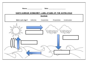
Earth Science worksheet: Label stages of the water cycle
Earth Science worksheet: Label stages of the water cycle2 VERSIONS OF WORKSHEET (Worksheet with a word bank & Worksheet with no word bank)Students have to label the stages of water cycle by looking at the diagram (Evaporation, Collection, Precipitation and Condensation)Students can color in the pictures they are doneWorksheet aimed at higher kindergarten/lower primary levelAnswer Key includedBoth PDF and Editable Word Versions included within the ZIP file
Subjects:
Grades:
K - 6th
Types:
Mapping Skills with Google Earth™ Gr. 6-8
Help your middle school students move on to a more complex understanding of map reading. Our resource allows students to further develop their ability to read and understand maps. About this Resource: Practice what you've learned about coordinates by finding the matching countries on Google Earth™. Test your comprehension of a precipitation map by answering questions related to a map of North America. Explore the past with Google Earth™, and see how the population of certain places have changed
Grades:
6th - 8th
Types:
Also included in: Mapping Skills with Google Earth BIG BOOK - BUNDLE
5th Grade Social Studies Alive! America's Past - Chapters 1 - 5 - Set 1
**SAVE BIG BUYING SETS!** Enclosed you will find the first 5 chapters of 5th Grade Social Studies Alive! America's Past Task Cards. There are 24 multiple choice task cards in each set. Buy now and save BIG! ****************************************************************************************************************Included you will find:Geography of the U.S. Chapter 1 Task Cards - History Alive! TCiAmerican Indians and Their Land Chapter 2 Task Cards - History Alive! TCiAmerican Indian Cul
Subjects:
Grades:
5th
Types:
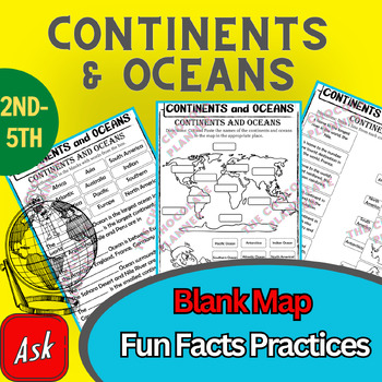
Continents And Oceans | Maps & Globes 7 Continets & Oceans | Facts Activities
Learning about continents and oceans on a map is a great way to engage students and help them remember all seven continents and major oceans in geography. This resource provides tons of practice on maps to help your kids identify the continents and oceans, as well as learn fun new information about each continent and ocean.The facts about continents and oceans are designed in different interactive formats to help your kids engage and have fun while completing them.As there are many questions reg
Subjects:
Grades:
2nd - 5th
Types:
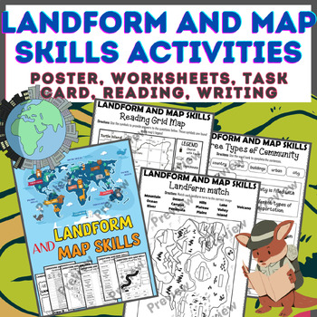
Landform & Map Skills Activity (Poster, Worksheets, Task card, Reading, Writing
Let's spice up your landform and map skills lessons and make learning super fun for your second, third, and fourth-grade students. This Landform & Map Skills Activity (Poster, Worksheets, Task card, Reading, Writing resource covers cool topics like maps, globes, continents, oceans, landforms, suburban, urban, rural areas, directions, and more!The best part? You can use these map skills and landform activities during whole group instruction, independent work, or center time. It's all about fl
Grades:
3rd - 5th
Types:
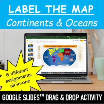
Label the Map - Continents and Oceans | Google Slides™ Drag & Drop Activity
Let your students have fun labeling Earth’s 7 continents and 5 oceans with this interactive mapping Google Slides™ Drag & Drop Activity. The digital resource comes with 6 different assignments all-in-one, as well as two different color schemes. The activity is designed for Google Classroom users, but can ALSO be downloaded, printed and used as a handout in the classroom. Pick and choose what best serves your classroom. Click HERE if you want a cut and paste version of the same activity with
Subjects:
Grades:
Not Grade Specific
Types:
Map Skills - Performance Tasks
Maps performance tasks! Here are two performance tasks that I created and used with my first grade students when we completed our unit. We actually did a practice run creating a map of our classroom early in the unit so they had experience doing something very similar to this. Updated with new BW graphics and fonts. Students get to name their own farm and playground to create the maps. They really did a great job with these and most were easily able to show Proficiency. For each map, I gave t
Subjects:
Grades:
1st - 2nd
Types:
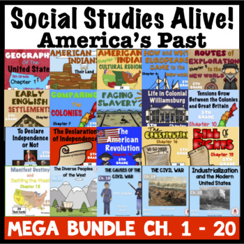
5th Grade Social Studies Alive MEGA Bundle Ch. 1 - 20
**SAVE BIG BUYING BUNDLES** Enclosed you will find ALL the chapters of 5th Grade Social Studies Alive! America's Past Task Cards, chapters 1 - 20. There are 24 multiple choice task cards in each set. Buy now and save BIG! ***************************************************************************************Be sure to check the preview on each of these chapters to see what you are getting.This MEGA BUNDLE is also part of the 5th Grade Social Studies - America's Past Sets 1 - 4.Please be sure
Subjects:
Grades:
5th - 8th
Types:
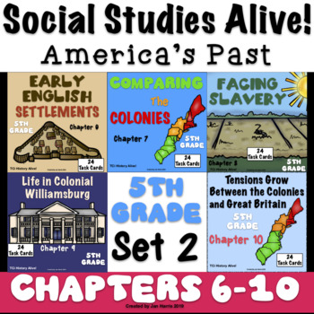
5th Grade Social Studies Alive! America's Past - Chapters 6 - 10 - Set 2
**SAVE BIG BUYING SETS!** Enclosed you will find chapters 6 through 10 of 5th Grade Social Studies Alive! America's Past Task Cards. There are 24 multiple choice task cards in each set. Buy now and save BIG!****************************************************************************************************************Included you will find:Early English Settlements Chapter 6 Task Cards History Alive! TCiComparing The Colonies Chapter 7 Task Cards History Alive! TCiFacing Slavery Chapter 8 Task
Subjects:
Grades:
5th
Types:
Social Studies Puzzles Bundle - enrichment for early finishers
Social Studies Puzzles Bundle is a collection of social studies activities for enrichment, sub plans, stations, and early finishers. The topics include “Geography”, “World Countries”, “USA”, “Maps”, and “People and Places”.This bundle includes:Chain Link PlacesCriss CrossCrypto CountriesCrypto FactsCrypto FamilesDot-to-DotDouble PuzzleFallen PhrasesGrid ChallengeHidden CountriesHidden StatesLetter BlocksLetter TilesLogic ProblemMatch Dot ArtMissing CitiesPicture PuzzlersResearch RiddlesShared Na
Grades:
5th - 8th
Types:
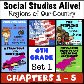
4th Grade Social Studies Alive! Regions of Our Country - Chapters 1 - 5 Set 1
**SAVE BIG BUYING SETS!** Enclosed you will find the first 5 chapters of 4th Grade Social Studies Alive! Region's of Our Country Task Cards. There are 24 multiple choice task cards in each set. Buy now and save BIG!****************************************************************************************************************Included you will find:Discovering the Social Sciences Ch. 1 Task Cards History Alive!Exploring Regions of the U.S, Chapter 2 Task Cards - History Alive!The Peopling of the
Grades:
4th
Types:
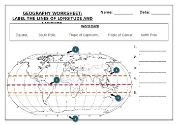
Geography worksheet: Label the lines of longitude and latitude
Geography worksheet: Label the lines of longitude and latitudeStudents have to label the lines of latitude and longitude with the correct names (Equator, South Pole, Tropic of Capricorn, Tropic of Cancer, North Pole)Worksheet aimed at primary level/ high school levelStudent can color in the world map when they are finishedAnswer key included on second page.
Subjects:
Grades:
2nd - 7th
Types:
Geography Puzzles - social studies enrichment
Do you need a few more lessons for your geography unit? Geography Puzzles contains six ready-to-use worksheets that are both engaging and educational. These can be used for enrichment, sub plans, stations, or early finishers. This resource is best for Grade 5-8.This resource includes:Criss CrossDouble PuzzleHidden CountriesPicture PuzzlersSyllacrosticWorld Locations Dot-To-Dot*SIGN UP AS A FOLLOWER OF “OFF THE PAGE” AND GET NOTIFICATIONS OF ANY SALES FROM OUR STORE AS WELL AS ALERTS OF NEW PRODU
Subjects:
Grades:
5th - 8th
Types:
Also included in: Social Studies Puzzles Bundle - enrichment for early finishers
6th Grade Social Studies Alive! The Ancient World Unit 1 - Ch. 1 - 6
**SAVE BIG BUYING SETS!** Enclosed you will find Unit 1 chapters 1 - 6 of 6th Grade Social Studies Alive! America's Past Task Cards. There are 24 multiple choice task cards in each set. Buy now and save BIG!************************************************************************************************************Be sure to check the preview of each of these chapters to see what you are getting.Please be sure to leave feedback and earn TpT points for more great products. Your comments are always
Grades:
6th
Types:
Middle School World Continents Bundle Gr. 5-8
This Middle School World Continents Bundle for grades 5-8 is your ENTIRE YEAR'S WORLD CONTINENTS CURRICULUM in one bundle. Filled with EXTENSIVE reading passages, ENGAGING activities, and FULL COLOR maps, and COMPREHENSION questions that cover your State Standards, and written to Bloom's Taxonomy. The activities in this bundle can be used for whole-group, small group, or individual work. NO PREP necessary, just print!This BUNDLE includes 420 pages and will provide you with an ENTIRE YEAR of Wor
Grades:
5th - 8th
Types:
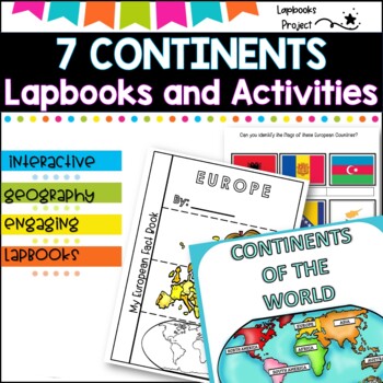
7 Continents of the World- Lapbooks and activities
✔Do you need an easy prep activity to teach your students about the Seven Continents and introduce students to some basic information about each of the seven continents.⭐Maps and Continents of the world⭐Interactive Notebooks are a wonderful tool for providing hands-on experiences for learners. These Maps and continents interactive notebooks are no exception!The packet is easy to use for both student and teacher.Are you looking for a hands-on way to immerse your students in the study of the 7 Con
Grades:
3rd - 6th
Types:
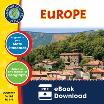
Europe Gr. 5-8
Journey to the ancient centers of culture and trade with a trip to Europe. About this Resource: Understand the variety of ecosystems that inhabit the continent with a climate map. Gain a sense of direction by identifying the European cities that are found in the western and eastern hemispheres. Do some research into the famed Thames river and find out how long it is, which countries it passes through, and into which large body of water it flows into. Learn about the accident at Chernobyl and wha
Grades:
5th - 8th
Types:
Also included in: Middle School World Continents Bundle Gr. 5-8
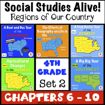
4th Grade Social Studies Alive! Regions of Our Country - Chapters 6 - 10 Set 2
**SAVE BIG BUYING SETS!** Enclosed you will find the first 5 chapters of 4th Grade Social Studies Alive! Region's of Our Country Task Cards. There are 24 multiple choice task cards in each set. Buy now and save BIG!****************************************************************************************************************Included you will find:A Boat and Bus Tour of the Southeast Ch. 6 Task Cards - History Alive!The Effects of Geography on Life in the Southeast Ch. 7 Task CardsA Crop Duster
Grades:
4th
Types:
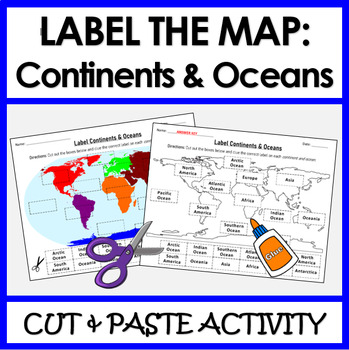
Label Continents and Oceans | Cut & Paste Sorting Activity
Let your students have fun with this cut and paste activity labelling Earth’s 7 continents and 5 oceans. This NO PREP resource provides your students with hands-on opportunity to practice labeling the continents and oceans on a world map. Three different options for a variety of practice: label the continents, label the oceans, or label BOTH the continents and oceans.Click HERE if you want a digital drag and drop version of the same activity designed for Google Slides. This product includes:Cut
Subjects:
Grades:
1st - 4th
Types:
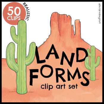
Landforms Clip Art Set
50 realistic and colorful landforms and bodies of water clips, designed for all age groups. All clips are high-quality and suited for large-scale resizing. The set is versatile, and suited for plenty of different interactive and fun classroom activities, as well as, posters, flashcards and worksheets (any printables)They can also be used for creative writing! All color clips are available to view in the preview file! You can also zoom in to have a closer look at the watercolor textures and detai
Grades:
Not Grade Specific
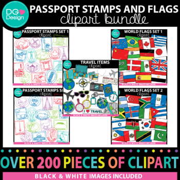
Passport Stamps and Flags Clipart Bundle
This Passport Stamps and Flags Clipart Bundle is the perfect way to take your students on a trip around the world. A great way to teach your students about other countries. Use it for your classroom or for items you make to sell. This bundle includes more then 150 pieces of clip art.All images come in a high quality (300 dpi) PNG format. They can be made bigger or smaller and still keep their crisp clean edges. They all have transparent backgrounds, making layering into your resources a breeze.
Grades:
Staff, Not Grade Specific
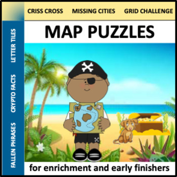
Map Puzzles - social studies enrichment for early finishers
Do you need a few more lessons for your social studies unit? Map Puzzles contains six ready-to-use worksheets that are both engaging and educational. These can be used for enrichment, sub plans, stations, or early finishers. This resource is best for Grade 5-8.This resource includes:Criss CrossCrypto FactsDirection Grid ChallengeFallen PhrasesLetter TilesMissing Cities*SIGN UP AS A FOLLOWER OF “OFF THE PAGE” AND GET NOTIFICATIONS OF ANY SALES FROM OUR STORE AS WELL AS ALERTS OF NEW PRODUCTS. Che
Grades:
5th - 8th
Types:
Also included in: Social Studies Puzzles Bundle - enrichment for early finishers
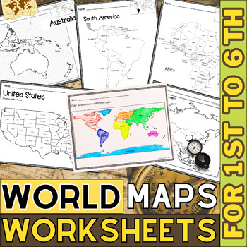
World Map with Countries | Continents and Oceans Blank Map | 1st to 12th Grade
These printable maps will be useful whether you are studying geography, world history, countries around the world, or you are just trying to show your kids the route you are taking on your next vacation! For kids learning about states, we've included a printable map of the world, as well as maps of North and South America, Europe, Asia, Australia, Africa, and Antarctica. Furthermore, the world map printable set comprises labeled and blank options for printing. To print the printable map PDF file
Grades:
K - 12th
Types:
Showing 1-24 of 1,203 results


