886 results
Higher education geography assessments by TpT sellers for TpT sellers
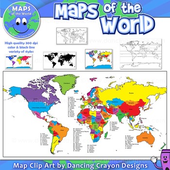
Maps of the World: Clip Art World Maps
Maps of the World: Clip Art World Maps
High quality color and black and white maps of the world.
This clipart map set contains the following commercial use graphics:
- Color maps of the world
- Black and white line art maps of the world
- Maps of the world with lines of latitude and without lines of latitude
- Maps of the world with larger countries labelled (color and black and white)
- Silhouette maps of the world
- A map of the world showing seven continents in color and black and white:
Grades:
3rd - 12th, Higher Education, Adult Education, Staff
Also included in: Maps of the World Clip Art - MEGA-BUNDLE
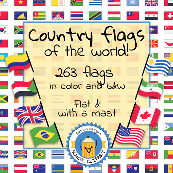
Country flags of the world: 263 Country flags - clip art bundle (1052 clips!)
Country flags of the world: 263 Country flags. HUGE clip art BUNDLE!
This clip art contains 263 flags, in 2 forms (flat and with mast) in color and black & white line art.
Contains all the flags of the countries of the world : 195 Countries.
Look at the complete list of flags by downloading the preview
A total of 1052 clips!
Included:
263 color flag (flat) clip art flag set- PNG format
263 B&W flag (flat) clip art set- PNG format
263 color flag (with mast) clip art set- PNG format
Grades:
PreK - 12th, Higher Education, Adult Education
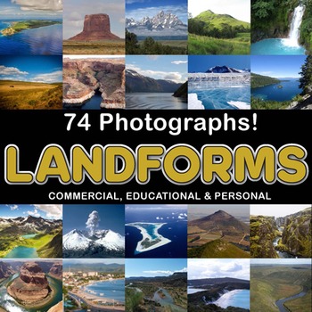
Photos Photographs LANDFORMS clip art
Photographs - Landforms. For sale are 74 beautiful, full color, high quality 300 dpi photographs for commercial, personal and educational use. No credit required to use these images, but it is always appreciated if you do! Why use clip art when you can use images of real objects? Every single image is available for you to use commercially in every one of your products. Buy with confidence! The thumbnail images are watermarked /cropped in the preview / thumbnails but the purchased photographs wil
Subjects:
Grades:
PreK - 12th, Higher Education, Adult Education
Also included in: Complete Photo Bundle
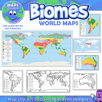
Biomes - Maps of the World and Continents Clip Art
Biomes World MapsHigh quality color and black and white maps of biome regions of the world. This clipart map set contains the following commercial use graphics:- Color maps of the world biome areas- Black and white line art maps of the world biome areas to color (with blank legend / key to also color)- Maps with and without the equator and geographic lines- Maps of continents showing biome regions- Maps of the world showing individual biome regions (for example: maps showing where the worlds tem
Grades:
3rd - 12th, Higher Education, Adult Education, Staff
Human Geography Unit 1 Lesson and Activity Bundle
You've got Human Geography Unit 1 covered with this no-prep lesson and activity bundle! These resources can be used in class or for independent study. Four comprehensive lessons with guided notes and built-in discussion questions are provided, along with complementary worksheets and activities, review games, a review packet, and a quiz to assess student understanding of the unit.Materials included: Unit 1 Introductory TriviaIntro to Maps & Spatial Patterns LessonScale & Scale of Analysis
Subjects:
Grades:
10th - 12th, Higher Education
Types:
Human Geography Exam Review Packets
Help your students prepare for their Human Geography exam with these comprehensive review packets for units 1-7 that include short answer questions and small activities to help students study the key concepts from each unit.These resources can be printed or used digitally and students can complete the packets on their own or with a partner/group. Once finished, they can be used as helpful guides for independent study. Answer keys are included for quick and easy take up. No prep required!By purch
Subjects:
Grades:
10th - 12th, Higher Education
Types:
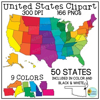
United States Map Clipart | States and Capitals | US Regions
Make creating state reports or activities that help students memorize the states and capitals easy with this set of brightly colored United States clipart! You get a total of 166 state shapes and maps of the U.S. The images can be used in so many ways! Create flashcards, map quizzes, states and capital worksheets. Use to create digital resources such as Boom Cards or Google Slide state reports. Perfect for social studies classrooms or for teaching US geography. All images come in 300 DPI PNG f
Grades:
3rd - 8th, Higher Education
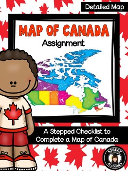
Map of Canada Assignment - Detailed Map
This is a minimal-prep assignment that you can simply photocopy and distribute to students now! The assignment is broken down into 10 steps and is perfect for an applied or academic classroom. The assignment includes a built-in checklist for students to use while completing their maps.
There are two versions of this assignment included in this download – one with and one without the post-it note annotation. There are also two rubrics to reflect both versions of this assignment. You can use the
Subjects:
Grades:
4th - 12th, Higher Education, Adult Education
Types:
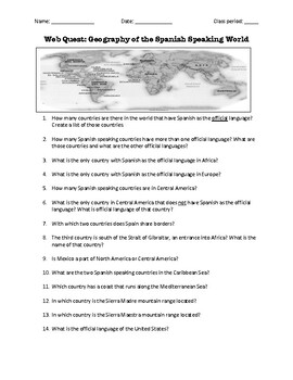
Web Quest: Geography of the Spanish-Speaking World (emergency sub plan)
This activity contains 40 questions in English written in a trivia format. It is excellent if you plan to have a substitute teacher as it will keep your students busy researching answers. The questions can also be useful to motivate class discussion. Includes answer key.
Subjects:
Grades:
5th - 12th, Higher Education, Adult Education
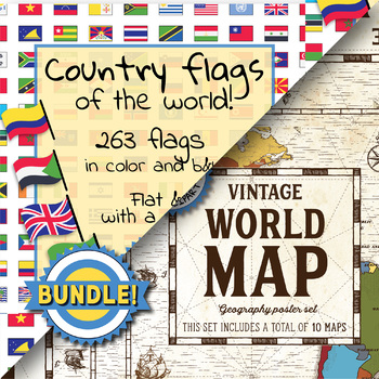
Country flags of the world & World map and continent - School Clip Art - BUNDLE
BUNDLE! Country flags of the world & World map and continent Product #1: Link to the productCountry flags of the world: 263 Country flags. HUGE clip art BUNDLE!This clip art contains 263 flags, in 2 forms (flat and with mast) in color and black & white line art.Contains all the flags of the countries of the world : 195 Countries.Look at the complete list of flags by downloading the previewA total of 1052 clips!Included:263 color flag (flat) clip art flag set- PNG format263 B&W flag
Grades:
PreK - 12th, Higher Education, Adult Education, Staff
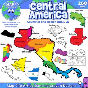
Maps of Central America: Clip Art Map BUNDLE
Maps of Central America: Clip Art Map BUNDLE
Map Collection: Central American Countries Bundle
VALUE-PACK: This is a money-saving bundle containing maps of the Central America region along with multiple maps of each country of Central America: Belize, Costa Rica, Honduras, Nicaragua, Panama, El Salvador, and Guatemala.
This clipart map set contains the following commercial use graphics:
- Color maps
- Black and white line art maps
- Silhouettes
- Maps of the world with individual count
Grades:
2nd - 12th, Higher Education, Adult Education, Staff
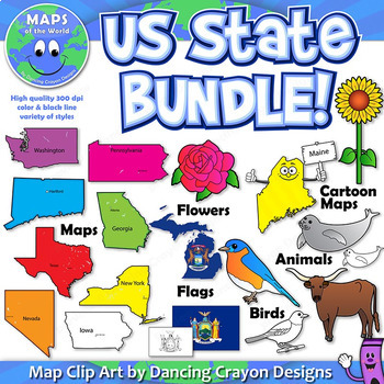
US State Symbols and State Map Clip Art BUNDLE
A BUNDLE set of Dancing Crayon's US State maps with US State symbols clip art.
Please note: This is a very large file (choc-full of clip art!). If you have any difficulty downloading this item, please contact TpT through their support page or leave a question on the Q&A tab of my store. We'll be happy to help!)
This US State clip art map and symbol set contains:
- Color maps and black and white maps of the fifty states of the United States of America - both labelled and blank. Labelled
Grades:
PreK - 12th, Higher Education, Adult Education, Staff
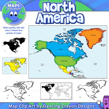
North America Continent Maps: Clip Art Map Set
North America Continent Maps: Clip Art Map Set
Map Collection: North American Continent
A set of clip art maps of North America. Note: These maps show the entire region of North America and do not contain individual country maps.
This clipart map set contains the following commercial use graphics:
- Color maps of North America
- Labelled maps and blank maps
- Black and white line art maps of North America
- Silhouette of the North American continent
- Map of the world hig
Grades:
PreK - 12th, Higher Education, Adult Education, Staff
Also included in: Maps of the World Clip Art - MEGA-BUNDLE
Geography and World History, World Map Quizzes, Quiz Bundle
These 8 pre-numbered maps and 16 quizzes will save you hours upon hours of creation and make preparation for assessing students on geographic locations effortless. Each has been designed with a numbered map, reproducible answer sheet and teacher’s answer key. When the class reaches the larger continents such as Europe, Asia, and Africa, it is suggested that the instructor assess the student in sections or regions before assessing them over the entire continent. This will allow students to learn
Grades:
5th - 12th, Higher Education, Adult Education
Types:
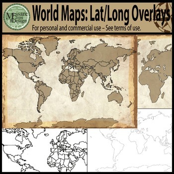
Maps: The World w/ Longitude & Latitude Overlays {Messare Clips & Design}
Sharpen your map skills!
This hugely diverse set of World Maps with Longitude and Latitude Overlays contains 25 individual high resolution graphics. All maps are shown in the thumbnail. There are 10 individual Latitude and Longitude Overlays that will provide you a wide range of uses.
There are two Latitude & Longitude scale variations used in the 10 overlays. One scale uses 30 degree intervals and the other uses 15 degree Latitude and 20 Degree Longitude intervals.
(Not all overlays de
Grades:
PreK - 12th, Higher Education, Adult Education
Geography Game: Around The World (Countries and Continents)
Fun and exciting for all Ages - Middle School through High SchoolWhat a great way to review the geographical location of countries you study throughout the year! Students absolutely love countiries and continents Around the World game so much that they are disappointed that class is over. This world geography game has been played with my students throughout the year, usually at the later part of the year or end of the year, to reinforce students' recall of countries' geographical locations. As t
Subjects:
Grades:
6th - 12th, Higher Education
Types:
Also included in: BUNDLE FOR ALICE
Geography Pre-assessment/Post-assessment Beginning of Year (Easel Act. Included)
This 80+ question assessment is a great way to evaluate what your students know going into the school year, what they have learned during the first semester as well as what knowledge and skills they have gained by the end of the school year. Why waste precious time creating a thorough and effective test when it has already been done for you? Use this clean and well-put-together assessment over and over again throughout the school year to assess your students.Comes with questions, a student answe
Grades:
6th - 12th, Higher Education, Adult Education
Types:
Also included in: Build A Bundle for Georgianne B
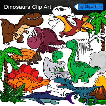
Dinosaurs Clip Art Commercial use
Cute Dinosaur Clip Art Commercial use/ Dino Clipart includes: fern * dino egg* volcano* Bones with skull Dinosaur* bone *dinosaur skeleton* ankylosaurus* apatosaurus* ichthyosaurus* pterodactyl* stegosaurus* triceratops* tyrannosaur* tyrannosaurus rex *tyrannosaurus rex.Download preview with free clipart inside license included!All18 png files transparent background+jpgand 17 png black-white coloring outlines files+jpgFor personal and small commercial use!!!! See more animals clipartDinosaurs of
Grades:
PreK - 12th, Higher Education, Adult Education, Staff
AP Human Geography - All Seven Unit Assessment Bundle
The bundle for all seven unit tests for AP Human Geography is HERE!These tests are aligned with the newest (2020) AP Psychology curriculum released by the College Board.There is one test in this bundle for every unit suggested by the College Board: Thinking Geographically, Population and Migration Patterns and Processes, Cultural Patterns and Processes, Political Patterns and Processes, Agriculture and Rural Land-Use Patterns and Processes, Cities and Urban Land-Use Patterns and Processes,
Grades:
9th - 12th, Higher Education
Types:
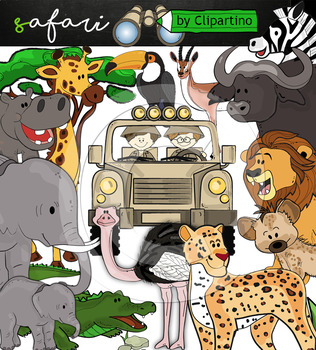
Cute Safari animals Clip Art /African Animals /Commercial use
Safari clipart bundle inclides 22 png files transparent background+jpgand safari clip art 22 png+jpg black-white filessize 1 files about 6 inch 300 dpiFor personal and commercial use!!!African Animals & Savanna clipart (Animal jungle clip art)BinocularjeepJeep with boysBoyscrocodileantelopehippoelephantbaby elephantbuffaloa lionleopardhyenarhinoceroshippostonebeaktreegrassostrich!!!! See more animals clipartOcean animals clipartSafari clipartBugs clipartBirds ClipartDinosaur ClipartArctic An
Grades:
PreK - 12th, Higher Education, Adult Education, Staff
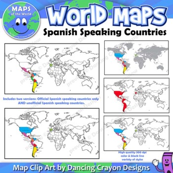
Spanish Speaking Countries | Maps of the World Clip Art
Maps of the World: Clip Art of Spanish Speaking Countries on World MapHigh quality color and black and white maps of the world with Spanish speaking countries labeled and highlighted. This clipart map set contains the following commercial use graphics:- Color maps of the world labeled with only Spanish speaking countries- Black and white line art maps of above- labeled and blank maps of above*Includes TWO versions. One showing only countries which have Spanish as an official language, and two,
Grades:
3rd - 12th, Higher Education, Adult Education, Staff
Human Geography Unit 1-7 Quiz Bundle
Test your students' understanding of Human Geography units 1-7 with these quizzes. Three different versions (same questions but in different arrangements) are provided for each unit for added test security. Each version contains definition matching, multiple choice, and short answer questions and could be used as a formative or summative assessment. Each quiz is editable for easy customization. Answer keys are also provided for quick grading. You save 20% off the purchase price of each quiz by b
Subjects:
Grades:
10th - 12th, Higher Education
Types:

Comparing Country Statistics Geography Europe Research Activity
Want to study the countries of Europe? Looking at current events in your classes? Looking at European statistics? Hoping to find the perfect no-prep resource to practice investigation, comparison and analysis?This activity requires students to gather and compare the important basic statistics of the countries of Europe by creating country signs for classroom centers to travel. Statistics Covered:PopulationLife ExpectanceLiteracy RateGDPMoney/CurrencyLanguagesAt the end, students must use the i
Grades:
6th - 12th, Higher Education
Types:
Human Geography Multiple Choice Exam Review Activity Bundle
Help your students review important human geography content for a unit test or the final exam using these multiple choice challenge activities. They can be used in several different ways, including as individual tasks, group games, assessments, or for independent study. The activity includes sixty original multiple choice questions that cover the key information for each unit, plus answer keys and slideshows that explain important context for each question and why the correct answers are correct
Subjects:
Grades:
10th - 12th, Higher Education
Showing 1-24 of 886 results


