85 results
High school world history resources by TpT sellers for TpT sellers $5-10

Scientists and Inventors ClipArt
This clipart collection features 24 historical Scientists and Inventors. Perfect for the growth mindset classroom. Inspire your students with these public figures of grit, perseverance and courage!
Great for science lessons, language arts, social sciences, writing prompts, newsletters, bulletin boards, classroom projects, brag tags, class décor and more. This clipart set includes a total of 96 unique images (48 full-color, 48 B&W)!
All images are in png format so they can easily be dragge
Subjects:
Grades:
PreK - 12th
Also included in: Historical Figures Clip Art (Growing) Bundle
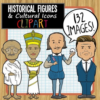
Historical Figures and Cultural Icons ClipArt
This clipart collection features 33 historical figures and cultural icons. Perfect for the growth mindset classroom. Inspire your students with public figures of grit, perseverance and courage!Great for Language Arts, Social Sciences, Writing prompts, newsletters, bulletin boards, classroom projects, brag tags, class décor and more. This clipart set includes a total of 132 unique images (66 full-color, 66 B&W)! All images are in png format so they can easily be dragged-and-dropped into your
Grades:
PreK - 12th
Also included in: Historical Figures Clip Art (Growing) Bundle
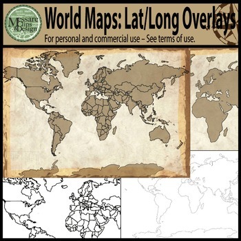
Maps: The World w/ Longitude & Latitude Overlays {Messare Clips & Design}
Sharpen your map skills!
This hugely diverse set of World Maps with Longitude and Latitude Overlays contains 25 individual high resolution graphics. All maps are shown in the thumbnail. There are 10 individual Latitude and Longitude Overlays that will provide you a wide range of uses.
There are two Latitude & Longitude scale variations used in the 10 overlays. One scale uses 30 degree intervals and the other uses 15 degree Latitude and 20 Degree Longitude intervals.
(Not all overlays de
Grades:
PreK - 12th, Higher Education, Adult Education
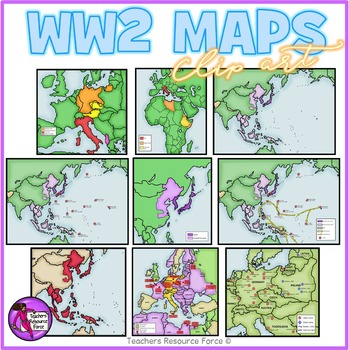
World War 2 Maps clipart
Get hold of this quality set of WW2 historical maps!Product includes:• Aggression in Africa• Aggression in Asia• Asia and the Pacific• Asia and the Pacific battles• Asia and the Pacific battles and allied advances• Expansion in Europe• Japanese expansion• Major battles in African and Europe• Nazi labor and death campsEach image is 300dpi png with transparent edges and closely cropped and each map comes in color as well as white and grey scale as seen in the previews.★ PSSSST: want to learn how t
Grades:
4th - 12th, Higher Education, Adult Education, Staff
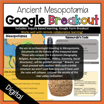
Ancient Mesopotamia Digital Breakout Room
Have students work in archaeology teams to uncover the secrets of the Mesopotamia Civilization. Students will be faced with inquiry learning tasks in all areas (Geography, Religion, Accomplishments, Politics, Economy, and Social Structure) by analyzing artifacts, maps, and readings to uncover what life was like during the world's first civilization. Sample Story Line: You are an archaeologist traveling to Mesopotamia. Documents on the history of this treasured state "those who conquer the 6 elem
Grades:
6th - 10th
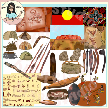
Australian Aboriginal Indigenous People Clip Art Uluru Dreamtime Shelters
This is a beautiful set containing 42 images of Australian Aboriginal Indigenous people artifacts, shelters, cultural and lifestyle objects. The clipart has lot of authentic details!Your product/worksheet/presentation is going to standout!The images have 300 dpi resolution and are at least 6 inches in length at the longest edge. The images scale well without losing quality.There are 21 colored images, and 21 black line art.You will get the following colored images:* Dreamtime* Rainbow Serpent* A
Grades:
3rd - 12th, Staff
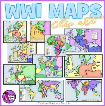
World War 1 maps clipart
Get hold of this quality set of WW1 historical maps!
Product includes:
• Germany fighting 2 war fronts
• Post WW1 Europe and Middle East areas lost
• Post WW1 Europe and Middle East
• The Schlieffen Plan
• WW1 Africa 1914
• WW1 Allied and Central Powers 1914
• WW1 Colonial Powers 1914
• WW1 Europe and Middle East 1914
• WW1 Europe
• WW1 World at War
Each image is 300dpi png with transparent edges and closely cropped and each map comes in color as well as white and grey scale as seen in the pre
Subjects:
Grades:
5th - 12th, Higher Education, Adult Education, Staff
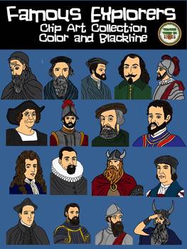
Famous Explorers Clip Art Collection! Blackline and Color
This is a set of 34 images depicting some of the most famous explorers in history. You will receive both color and blackline copies of each of the following.
o Eric the Red
o Leif Erickson
• Christopher Columbus
• Hernan Cortes
• Hernando de Soto
• Francisco Vasquez de Coronado
• Jacques Cartier
• Samuel de Champlain
• John Cabot
• Henry Hudson
• John White
• Amerigo Vespucci
- Bartolomeu Dias
- Francisco Pizarro
-Robert La Salle
-Giovanni d
Grades:
3rd - 12th
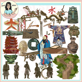
Ancient Civilizations: China Clip Art Great Wall, Terracotta Army, Inventions
This is a beautiful set containing 44 images of Ancient China Civilization artifacts, architecture, inventions, cultural and lifestyle objects. The clipart has lot of authentic details! The clipart is divided by the various dynasties and their most important contributions towards the Chinese Civilization.Your product/worksheet/presentation is going to standout!The images have 300 dpi resolution and are at least 6 inches in length at the longest edge. The images scale well without losing quality
Grades:
3rd - 12th, Higher Education, Staff
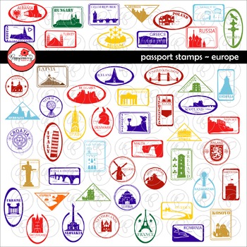
Passport Stamps Europe Clipart by Poppydreamz
Passport Stamps Europe set includes passport stamps for each European Country depicting mostly landmarks, some Coats of Arms, and some National Symbols. 52 stamps in both color and black and white for a total of 104 images. Included in the set:Albania, Rozafa CastleAndorra, Centre Termoludic CaldeaArmenia, Statue of Mother ArmeniaAustria, Seekirchl ChapelAzerbaijan, Flame TowersBelarus, Cross of St. Euphrosyne & White StorkBelgium, Atomium BrusselsBosnia and Herzegovina, Mehmed Pasa Sokolovi
Grades:
1st - 12th, Staff
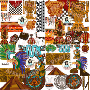
Ancient Civilizations - Inca, Aztec, Maya Cultural Objects, Artifacts, Buildings
This is a beautiful bundle containing 31 detailed, unique images of the Cultural and Lifestyle objects, Building, Artifacts of the Inca, Aztec and Maya civilizations. The clipart contains a lot of authentic details; lines are crisp and colors are bright and vivid. Your product/worksheet/presentation is going to standout!The images have 300 dpi resolution and are at least 7 inches in length at the longest edge. The images scale well without losing quality. Check out my Native American Packages:**
Grades:
2nd - 12th
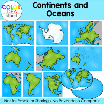
Continents and Oceans
Teach your students all about Continents and Oceans with this clipart set.This set contains 36 images as shown on preview pages, which includes 18 color images and 18 black line versions. Images saved at 300 dpi in png files.Check out these related clip art set:Weathering, Erosion and DepositionTypes of Maps Clip Art (USA)I also have quite a complete selection of clipart in the following bundle:Earth Science - Geology Mega BundleLandforms BundleUSA Maps - BUNDLE☆ Click to follow me to get freebi
Subjects:
Grades:
PreK - 12th
Also included in: Science Mega Growing Bundle 1
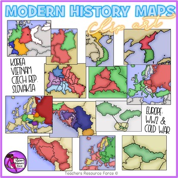
World War 2 and The Cold War Modern History Maps
Get hold of this quality set of modern History maps for the late 20th Century including WW2 and The Cold War. Product includes:• Europe after World War II that is colored to show the countries that were Soviet satellites.• Germany 1948-49• Berlin 1948-49• North & South Korea• North & South Vietnam• Yugoslavia as a nation • Yugoslavia as separate countries#• Czechoslovakia• Czech Republic & Slovakia• Blown up view of Berlin to show the occupational zones within the city.• Map of Europ
Grades:
4th - 12th, Higher Education, Adult Education
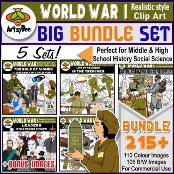
World War I Bundle of 215+ Clip Art Images
WORLD WAR I BUNDLE OF 5 SETS - 215+ CLIP ART IMAGESSET of 215+ IMAGES: VIETNAM WAR BIG bundle for personal and commercial use.This bundle contains 215+ High-Resolution of the First World War (The Great War) clipart images. This illustrates the history of the war with realistic relevant pictures. This makes it perfect for use for Middle and High School classrooms. Can also be used for lower grades. No offensive images included, images presented thoughtfully in my opinion. The set includes 110
Grades:
4th - 12th
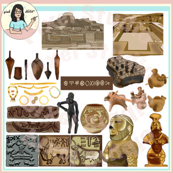
Ancient Civilizations: Indus Valley, Mohanjo Daro, Harappa Clip Art
Included here are 32 images of Indus Valley/Saraswati Valley Civilization - Mohanjo Daro and Harappa artifacts, architecture, cultural and lifestyle objects. The clipart has lot of authentic details!Your product/worksheet/presentation is going to standout!The images have 300 dpi resolution and are at least 8 inches in length at the longest edge. The images scale well without losing quality.There are 16 colored images, and 16 black line art.You will get: * The Board Game at Indus Valley made of S
Grades:
4th - 12th, Higher Education, Adult Education, Staff
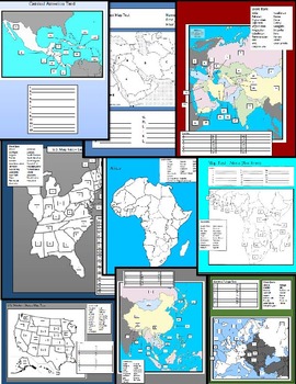
World Map Tests
12 World Map Tests included in this packet covering United States, Central America, South America, Western Europe, Central Europe, Middle East, and the Pacific Rim. This packet includes blank study maps, Tests, and Keys.
Grades:
5th - 12th, Higher Education, Adult Education
Greek Mythology Clip Art: Custom Graphics Collection Set 1
My Ancient Greece Custom Graphics Collection includes 50 of the most detailed clip art images that I created so far. Because of the amount of detail, this is a very large file - make sure you have a good, high-speed internet connection when downloading this file. I recommend that you save these images on an external hard drive once you have extracted them.
This set has a much higher price tag than my other sets; however, at $12.50, you are only paying .50 cents per custom graphic. Each image ha
Grades:
PreK - 12th, Higher Education, Adult Education, Staff
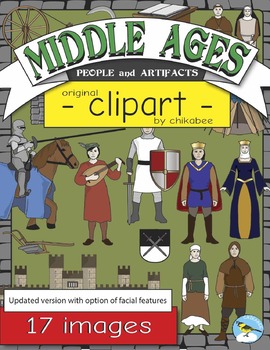
Middle Ages People and Artifacts Clip Art
This clip art packet includes 17 images of people and artifacts
of the Middle Ages / Medieval period.
Images are provided in color and blackline. Please see the list
below.
- Book Stand
- Castle
- Coat of Arms
- Hut
- King
- Knight
- Knight on Horse
- Minstrel
- Monk
- Nun
- Peasant Man (Serf)
- Peasant Woman (Serf)
- Plow
- Queen
- Sickle
- Spinning Wheel
- Tent
This product is a .zip file. The individual designs are saved in
PNG format with transparent backgrounds.
*****************
Subjects:
Grades:
4th - 10th
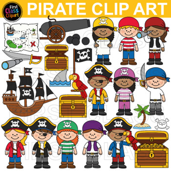
Pirate Clip Art
This is a beautifully presented pack of Cute Pirate Kids Clip Art resources for your classroom. All of the files are 300 dpi (high resolution) both in PNG (fully resizable) and SVG. Both the Color and black and white variations are within this pack. This is a digital item only*So what exactly will you receive?*x108 individual 300 dpi transparent clipart files. All files are 12inch by 12 inch at their longest points. All are resizable.Colour versionsx27 files are pngx27 files are svg Black and Wh
Subjects:
Grades:
PreK - 12th, Higher Education, Adult Education, Staff
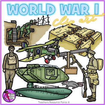
World War 1 realistic clip art
Get hold of this quality set of World War 1 clip art.
Product includes:
• Trenches
• Trench warfare
• Airplane
• Submarine
• Tank
• Machine gun
• Soldier wearing gas mask
• Soldier fully equipped
• Trench rat
Each image is 300dpi png with transparent edges and closely cropped and comes in color as well as black line as seen in the previews.
★ PSSSST: want to learn how to secure this clip art for your digital interactive resources?
Check out this video e-course on how to make resources for a
Subjects:
Grades:
4th - 12th, Higher Education, Adult Education, Staff
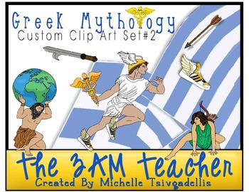
Greek Mythology Clip Art: Custom Graphics Collection Set #2
I have completed the 2nd set of my Greek Mythology series, which took me a little over 4 months. I have included 52 detailed custom graphics in full color, PNG image format. The line art for each image is also included in this set!!
Please download the FREE preview to view all of the images in this set.
Included:
1. Trojan Horse
2. Ajax ( Hero of the Trojan War)
3. Demeter (goddess of agriculture)
4. Atlas (god of astronomy)
5. Chronos (god of time)
6. Atlanta (huntress)
7. Hermes (mes
Grades:
PreK - 12th, Higher Education, Adult Education, Staff
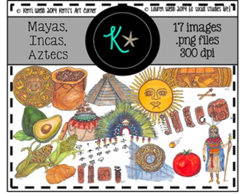
Mayas, Incas, Aztecs Clip Art
KERRI'S ART CORNER
Mayas, Incas, Aztecs Original Illustrations/Clip Art
★★★★NEWS: KERRI HAS OPENED HER OWN SHOP!
FIND THIS SET AND NEW SETS COMING SOON AT KERRI'S ART CORNER!★★★★
17 original illustrations/graphics for personal and commercial use!
• color .png versions of each graphic
Kerri and I have collaborated to create beautiful illustrations for the Ancient Maya, Inca, and Aztec civilizations!
★★ Original Illustrations/Graphics include ALL of the images you see in the preview thum
Grades:
4th - 10th
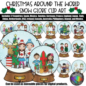
Christmas Around the World- Snow Globe Clip Art- Chalkstar Graphics
Christmas Around the World Snow Globe Clip Art- Snowglobes for the following countries:England, Germany, Sweden, Italy, France, Mexico, Spain, USA, Australia, Canada, Netherlands, Ireland, China, Japan, Brazil, Philippines, and Hawaii too!Includes 17 Color Images and 17 Black and White Images.Related Products• Christmas Around the World Clip Art• Christmas Around the World - Sweden Clipart• Christmas Around the World- Ireland Clip Art• Christmas Around the World- Netherlands Clip Art• Christmas
Grades:
PreK - 12th
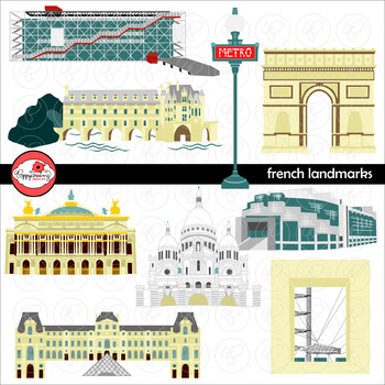
French Landmarks Clipart by Poppydreamz
French Landmarks Clipart set includes:Arc de TriompheCentre PompidouChateau de ChenonceauGrande Arche de la DefenseMetro SignOpera BastillePalais GarnierPyramide du LouvreBasilica of the Sacre Coeur ParisEach image comes in three versions: full color, line art and color with line art; high resolution 300 dpi png format with transparent background.Perfect for bulletin boards, worksheets, travel or geography lessons, and so much more!!! *****************TERMS OF USE:Personal and limited commercial
Subjects:
Grades:
1st - 12th, Staff
Showing 1-24 of 85 results


