172 results
3rd grade Women's History Month geography outlines
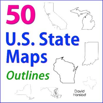
GEOGRAPHY | 50 U.S. State Maps Outlines (K-12)
GEOGRAPHY | 50 U.S. State Maps Outlines (K-12). Map outlines for all American occasions: history, physical, political, or specialty. Ideal for reports, labeling, or patriotic projects. Unfortunately, maps will not create a scaled puzzle. Preview same as Download.About the collection:Files are 8.5" x 11" in PDF & PNG. Product purchase is for organizational services. Maps are compiled from various free online sources and clarity is not always consistent. Please view Preview to see if maps mee
Grades:
K - 12th
Types:
Also included in: Top 20 Best Sellers
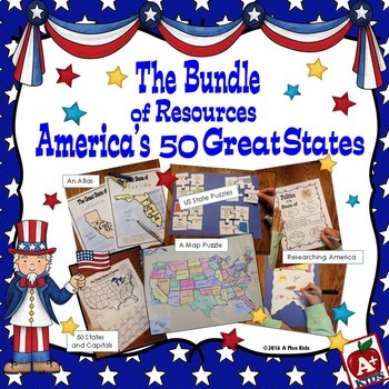
The Bundle of America's 50 Great States
This gigantic bundle is an awesome addition to your US states unit. Five separate resources are all contained in the bundle. Your kids will have fun with the activities, have knowledge of state facts and geography, learn the state capitals, and have a spatial awareness of where states are located on a US map.Most of the bundle is print-and-go with the exception of puzzles that must be cut out. Two map puzzles of the United States are included giving you a choice of two sizes.For a better look a
Subjects:
Grades:
3rd - 6th
Types:
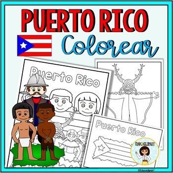
Puerto Rico
This is a .pdf file with 12 coloring pages. It include all pages shown on the preview. The images are:1. Puerto Rico cover coloring page2. Flag - La bandera3. Map - el mapa de Puerto Rico4. Flag in map form - bandera con la forma del mapa5. Race - nuestra raza6. Old San Juan "La garita"7. National flower "La maga" - Flor "La maga"8. Music instruments - instrumentos musicales9. National dance "La plena" dancers10. National dance " La bomba" dancers11. "Vejigante"12. "Vejigante" mask - máscara ve
Subjects:
Grades:
PreK - 12th
Also included in: Puerto Rico Coloring Bundle
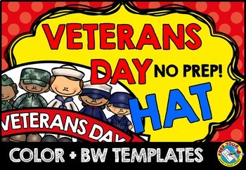
VETERANS DAY CRAFT CROWN ACTIVITY HAT TEMPLATE CRAFTIVITY KINDERGARTEN HEADBAND
VETERANS DAY CRAFT FOR KINDERGARTEN, 1ST GRADE AND MORE (NOVEMBER CRAFT ACTIVITY)Are you looking for fun 'Veterans Day' activities? You've come to the right place! Kids will love making and wearing this hat on 'Veterans Day'! This resource contains a cute hat template, both in color and bw. Simply choose the most adequate template for your class (color/ bw), print and go! Children can look at the colored template to color their own hat. After the kids have colored their hat, cut out and sta
Subjects:
Grades:
PreK - 3rd
Types:
Also included in: JUNE CRAFT KINDERGARTEN CROWN HAT ACTIVITY COLORING PAGE HEADBAND ART
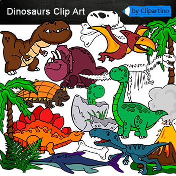
Dinosaurs Clip Art Commercial use
Cute Dinosaur Clip Art Commercial use/ Dino Clipart includes: fern * dino egg* volcano* Bones with skull Dinosaur* bone *dinosaur skeleton* ankylosaurus* apatosaurus* ichthyosaurus* pterodactyl* stegosaurus* triceratops* tyrannosaur* tyrannosaurus rex *tyrannosaurus rex.Download preview with free clipart inside license included!All18 png files transparent background+jpgand 17 png black-white coloring outlines files+jpgFor personal and small commercial use!!!! See more animals clipartDinosaurs of
Grades:
PreK - 12th, Higher Education, Adult Education, Staff
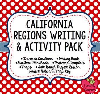
California Regions Research, Writing, Activity Pack
I like to have fun teaching my students about our state regions. We live in California, but this pack could work for other states as well.
What's included in this product:
*Region Questions (2 pages): Students can research the different regions and record information about the climate, seasons, animals, plants, adaptations, famous landmarks, cities, and latitude/longitude.
*Regions Mini Book (5 half pages and one fill in): Students can record 5 fun facts about the regions.
*Region Postcard
Subjects:
Grades:
3rd - 5th
Types:
Informational Research Report -- My State
Resources and materials to write a research report about your state! Includes a complete sample report all about Michigan.Includes:Drafting Paper/Illustration PaperA Complete Sample Text (about Michigan)Pre-writing Graphic OrganizersAn internet resource list for kidsOutline Maps for All Fifty States!!**Take a look at the preview to see what is included!!See my other product on Informational Writing:http://www.teacherspayteachers.com/Product/Writing-Informational-Text-Common-Core-AlignedPlease l
Grades:
3rd - 5th
Types:
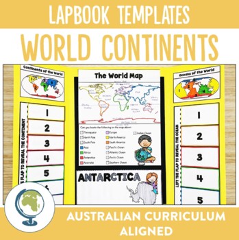
Continents of the World Lapbook Templates
What fun and innovative way are you exploring the Continents of the World this year? Why not try these lapbooks? They make a cute and engaging addition to any unit studying our worlds continents, as well as providing comprehension and note-taking practise for your students.Through these lapbooks students will explore:☆ Identification of the 7 continents of the world, ☆ Identification of the 5 oceans of the world, ☆ Mapping Skills, ☆ Individual continent research If you liked the look of this res
Subjects:
Grades:
2nd - 4th
Types:
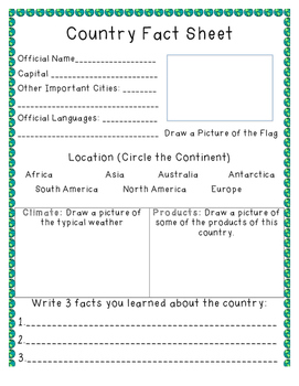
Country Fact Sheet
A fact sheet that can be used as students research countries of the world. Includes space for students to write the official name, capital, important cities, official languages, flag, climate, products, and three facts.
Subjects:
Grades:
1st - 7th
Types:
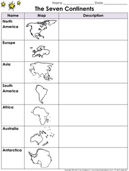
Continents Graphic Organizer: The Seven Continents - King Virtue's Classroom
Continents Graphic Organizer: The Seven Continents - North America, South America, Europe, Asia, Africa, Australia, and Antarctica - King Virtue's Classroom
Starting your Map Skills unit? Help your students get off to a great start with this simple The Seven Continents (North America, South America, Europe, Asia, Africa, Australia, and Antarctica) graphic organizer.
Looking to engage your students? Start off with a research project on the continents. Allow students to use various reference re
Subjects:
Grades:
2nd - 8th
Also included in: Social Studies MegaBundle - King Virtue's Classroom
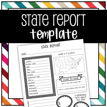
United States State Report Graphic Organizer Template
Use this graphic organizer to research a state.Record your chosen states population, location, landmarks, interesting facts, tree, flower, bird, terrain, historical events, and more in an organized way.
Subjects:
Grades:
1st - 5th
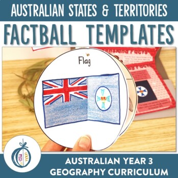
Australian States and Territories Factballs and Fact Sheets
Looking for a unique and engaging way to get your students involved in researching as well as tick off a few Australian Curriculum content descriptors at the same time? These Australian States and Territories Factballs and accompanying fact sheets increase the engagement of this often tedious task by providing a unique format for your students to record and practise note-taking skills.Included in this resource:- A Factball template for each State and Territory of Australia- A Blank Factball temp
Grades:
2nd - 5th
Types:
Geography | 110 Maps | USA & World Outlines (K-12)
Geography | 110 Maps | USA & World Outlines (K-12).Travel the world from the luxury of a school desk and be the envy of Columbus himself. Maps for all social studies occasions: USA, world, ancient cultures, history, physical, political, and specialty.• Maps 8.5x11" in PDF & PNG. (Resize PNG images or outline in Sharpie for any blur issues.) Maps sold "as is".• Career-long maps travel nicely bewteen grade levels.• Outline format allows for teaching geography your way.This listing is part
Grades:
K - 12th
Types:
Also included in: ELA Bundle (4-6th)
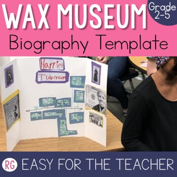
Living Wax Museum Biography Template
This living wax museum project is by far one of my favorite things about teaching 3rd grade. Truth be told this wax museum project can be used from 2nd grade all the way until 6th grade. Students take on the role of someone else, they dress up like an important historical figure and then they put on a show for their families and entire school It is a memory that is worth creating for your students! This is just one piece of the project (the biography template), but you can grab the bundle HERE i
Grades:
2nd - 5th
Also included in: Living Wax Museum Project

International Women's Day Writing Activity | Digital & Print
March is Women's History Month, with International Women's Day on March 8th! Let's help our students and children celebrate the incredible women in their lives and throughout history through writing activities!Other resources you may love:❤️ International Day of Peace Writing Activity❤️ World Kindness Day Writing Activity❤️ World Kindness Informational TextThis resource includes:⭐️ A downloadable PDF file plus a Google Slides™ version⭐️ 6 differentiated writing templates in 2 different designs⭐️
Grades:
3rd - 6th
Types:
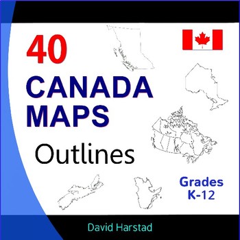
Canada Geography, History, Projects - 40 Canada Map Outlines (K-12)
Canada Geography, History, Projects | 40 Canada Map Outlines (K-12). More exciting than Tim Hortons' soup of the day. Map outlines for all Canadian occasions: statistics, physical, political, and provinces. Ideal for reports, labeling, or patriotic projects. Teach geography your way! About the collection: Maps 8.5" x 11" in pdf & png. Resize png images or outline in Sharpie for any blur issues. Maps sold "as is". Product purchase is for organizational services and maps are compiled in go
Grades:
K - 12th
Types:
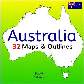
Australia: 32 Australia Maps & Outlines
Australia: 32 Australia Maps & Outlines (K-12). More exciting than surviving a night hike through the Coober Pedy opal fields, these map outlines are suitable for Australian curriculum: history, reports, labeling, or patriotic projects. About the collection: Maps are 8.5 x 11" in pdf & png. Resize images or outline in Sharpie for any issues. Maps sold "as is". Product purchase is for organizational services and compiled in good faith from sources presented as free for public use, CC0,
Grades:
K - 12th
Types:
GEOGRAPHY | 28 USA Maps - Regions of the United States
GEOGRAPHY | 28 USA Maps - Regions of the United States. Now gas station attendants can ask you for directions. Maps for all social studies occasions: USA, history, physical, political, and specialty. Teach geography your way! Preview same as Download. About the collection:Maps 8.5 x 11" in PDF & PNG. Maps are compiled in good faith from various free sources. Please preview to see if maps meet your quality standards. Resize PNG images or outline in Sharpie for any clarity issues. Maps sold "
Grades:
K - 12th
Types:
Also included in: Geography Bundle
FREE - Geography World Map (Grades K-12)
FREE - Geography World Map (Grades K-12).A free world map outline for all social studies occasions: continents, history, cultures, physical, political, and specialty.• Map sized 8.5x11" in PDF & PNG. (Resize PNG image or outline in Sharpie for any blur issues.) • Outline format allows for teaching geography your way!+ + + + + + + + + +This listing is part of 110 USA & World Maps, which includes the following:USA (28)• USA – 13 Colonies• USA – Civil War 1860• USA – Electoral Map•
Grades:
K - 12th
Also included in: Top Sellers on TpT
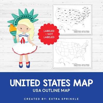
FREEBIE United States Outline Maps
Dear Educator,Thank you for downloading the FREEBIE United States Outline Map. I have no doubt that this incredible resource will become your go-to map year after yearIncluded in this packet you will find two versions of the United States outline map. The first version is available in black and white and contains only a title. It is ready for your students to color and label as you see fit. The second version comes complete with state names. It is available in black and white as well.I crea
Subjects:
Grades:
PreK - 12th
Types:
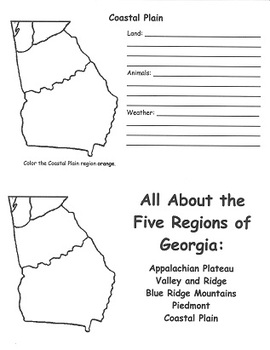
Georgia Regions FlipBook Template
This flipbook was designed to help 2nd grade students meet Georgia Performance Standard SS2G1(a). Students create flipbooks that describe the unique characteristics of the land, animals, and climate of each of the 5 regions of Georgia's geography.
Subjects:
Grades:
2nd - 3rd
Types:
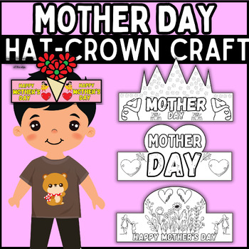
mother's day Hat & Crown Crafts - Headband Craft | mother's day craft |
Introducing our mother's Day Hat and Crown Craft! Immerse students in hands-on creativity as they commemorate mother's Day by crafting their own symbolic accessories, embracing the spirit of unity and cultural diversity with flair and imagination.⭐ Detail:File Format: PDF and PNGSize: 11*8.5 inches6 Craft designs⭐️ You may like those activitie :the First Day of Spring Collaborative Coloring PosterFirst day of spring Hat & Crown Crafts - HeadbandWorld down syndrome day Reading Comprehension P
Grades:
PreK - 8th
Types:
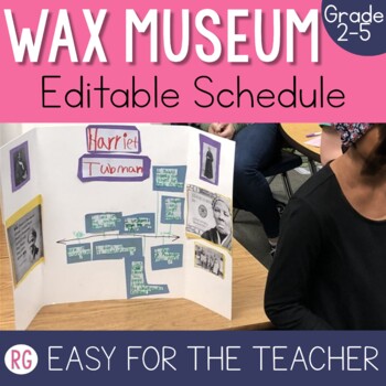
Wax Museum Schedule | Living Museum Project | Wax Museum Project
This living wax museum project is by far one of my favorite things about teaching 3rd grade. Truth be told this wax museum project can be used from 2nd grade all the way until 6th grade. Students take on the role of someone else, they dress up like an important historical figure and then they put on a show for their families and entire school It is a memory that is worth creating for your students! This is just one piece of the project (the letter to send to parents), but you can grab the bundle
Grades:
2nd - 5th
Also included in: Living Wax Museum Project
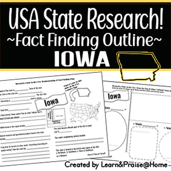
IOWA State Research Report: Brainstorm & Fact Page Outline | SOCIAL STUDIES
Do you need a way to help your students wrap up their study of the USA state of Iowa? This brainstorming and fact finding page will help guide students to fun facts about many of the "official state items" & basic facts of this state (state bird, year of statehood, marking the location on the USA map provided, & more)! Plus, they will have the chance to show off their drawing skills on the second page that allows them to draw in the state flag along with 3 "official state items" of the
Grades:
3rd - 5th
Types:
Showing 1-24 of 172 results


