2,099 results
2nd grade Earth Day geography homeschool curricula
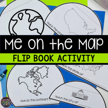
Me on the Map Flip Book - Map Skills Geography Activity
This Me on the Map flip book is the perfect easy-prep project to accompany the book Me on the Map by Joan Sweeney or any beginner map study. Students will identify the planet, continent, country, state, and city or town they live in and begin to understand the relative sizes of each.Prep is simple! Copy a set of the included booklet pages for each student. Students write in the missing words, cut out each semi-circles, and stack them from smallest to largest. Staple the top to complete the fl
Subjects:
Grades:
1st - 3rd
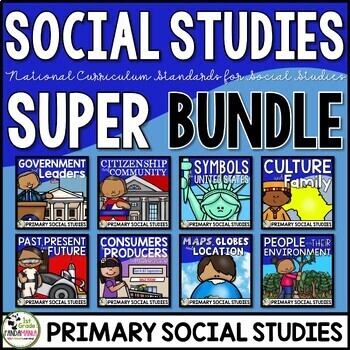
Social Studies Curriculum & Units Bundle for 1st and 2nd Grades
Social Studies Units US SymbolsGood Citizenship and CommunityGovernment and LeadersPast, Present, and FutureCulture and Family Maps, Globes, and Location People and Environmental Interaction Economy Producers and Consumers A 1st Grade and 2nd Grade comprehensive bundle of eight engaging social science curriculum units aligned with the national civics, economics, history, culture, and geography standards. It includes the topics of government, leaders, US
Subjects:
Grades:
1st - 2nd
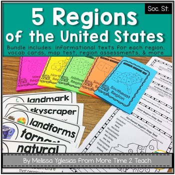
Regions of the United States Bundle: Info. Text Booklet, Vocab. Cards & Assess
Help your students learn all about the 5 REGIONS OF THE UNITED STATES WEST REGION (Colorado, Idaho, Montana, Nevada, Utah, Wyoming, California, Oregon, Washington, Alaska, and Hawaii)MIDWEST REGION (Iowa, Kansas, Missouri, Nebraska, North Dakota, South Dakota, Illinois, Indiana, Michigan, Minnesota, Ohio, and Wisconsin) SOUTHWEST REGION (Arizona, New Mexico, Oklahoma, and Texas)NORTHEAST REGION (Connecticut, Maine, Massachusetts, New Hampshire, Rhode Island, Vermont, Delaware, Maryland, New Jers
Grades:
2nd - 4th
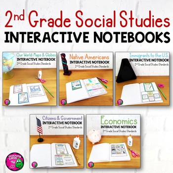
2nd Grade Social Studies Interactive Notebook BUNDLE 5 Units
Complete Set of Interactive Notebooks for 2nd Grade Social StudiesThis set of social studies interactive notebooks meets the standards for 2nd grade in Florida. The units included are:Our World: Maps and GlobesNative AmericansImmigrationCitizens & GovernmentEconomicsEach unit includes activities, vocabulary, and assessments. These activities can either be used with a textbook or used as a teacher-led unit. Some activities also include links to related outside sources that teachers could use.
Grades:
2nd
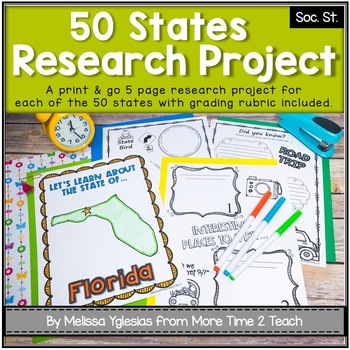
50 States Project- Research Project | Report {with grading rubric}
Have your students been learning about the 5 REGIONS OF THE UNITED STATES or are you simply looking for a FUN RESEARCH project on the 50 STATES? If so, then this might be just the activity you're looking for!With this PRINT & GO RESEARCH PROJECT, each student or group will create a 5-page booklet on one of the 50 States. This project lends itself to independent work, partner work, or even group work. Simply begin by assigning a state, print the parent information letter, and print the pages
Subjects:
Grades:
2nd - 5th
CCSS:
Also included in: Regions of the United States Bundle & State Research Project with Rubric
EARTH AND LANDFORMS LAPBOOK
A Fun, interactive way to teach the features of Earth is with the Our Earth Lapbook!This Earth Day lapbook includes resources to teach all about our Earth. Concepts included are types of rocks, types of soil, water sources, landforms, recycling and a map of our world. Use this lapbook to complete a study of Earth Science in your classroom kindergarten or first grade science curriculum!Buy the Interactive Lapbook Bundle and SAVE!__________________________________________________________________
Subjects:
Grades:
K - 2nd
NGSS:
K-ESS3-3
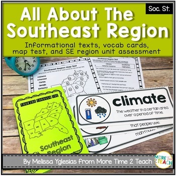
Southeast Region Unit {1 of 5 US Regions}
Help your students learn all about the SOUTHEAST REGION (Virginia, North Carolina, South Carolina, Georgia, Florida, Alabama, Arkansas, Kentucky, Louisiana, Mississippi, Tennessee, and West Virginia)After many hours of searching for kid-friendly material on the SOUTHEAST REGION OF THE UNITED STATES to use with my 3rd graders, I decided to create a unit of my own. My goal was to create an INTERACTIVE, ENGAGING, and KID-FRIENDLY unit! That's how this resource was born.THIS PRODUCT INCLUDES:* 6-pag
Grades:
2nd - 4th
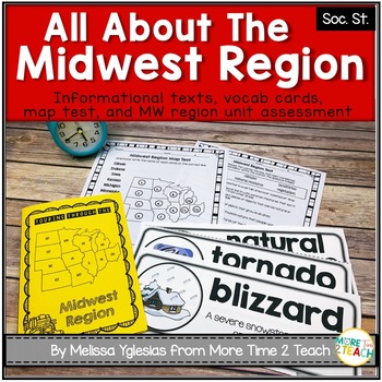
Midwest Region Unit {1 of 5 US Regions}
Help your students learn all about the MIDWEST REGION (Iowa, Kansas, Missouri, Nebraska, North Dakota, South Dakota, Illinois, Indiana, Michigan, Minnesota, Ohio, and Wisconsin) After many hours of searching for kid-friendly material on the MIDWEST REGION OF THE UNITED STATES to use with my 3rd graders, I decided to create a unit of my own. My goal was to create an INTERACTIVE, ENGAGING, and KID-FRIENDLY unit! That's how this resource was born.THIS PRODUCT INCLUDES:* 6-page informational booklet
Grades:
2nd - 4th
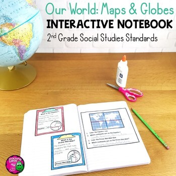
Our World: Maps & Globes Interactive Notebook for 2nd Grade Geography
Our World: Maps & Globes Interactive Notebook for 2nd Grade GeographyThis is a complete interactive notebook unit with assessments for 2nd Grade Geography. This 85 page unit includes activities, vocabulary, and map practice. These activities can either be used with a textbook or used as a teacher-led unit. There are maps of each U.S. state, North America, and the world, as well as a thematic map activity. There is a Venn diagram that can be used for comparing maps and globes. These stand
Grades:
2nd
Also included in: 2nd Grade Social Studies Interactive Notebook BUNDLE 5 Units
Earth Day PowerPoint - Reduce, Reuse, Recycle
Earth Day is celebrated on April 22! Follow Lola and her friends as they teach your students about the importance of Earth Day and what they can do to contribute. (30 slides!)(Please note that there is no sound in this presentation.)Topics included are:The First Earth DayWho Celebrates Earth Day?Reduce, Reuse, RecycleReusable Water bottlesReusable BagsCompostingLandfillsPlanting a TreeRecycling or Re-Using Ink CartridgesRecycling Aluminum CansTurning the Lights OffConserving WaterPicking up Litt
Subjects:
Grades:
K - 8th
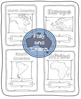
Continents Bundle - Maps and Flags for every country of the world
The Continents Bundle includes 196 Countries (some countries are in two continents): 12 Countries in South America; 50 Countries in Europe; 23 Countries in Northern America; 14 Countries in Oceania; 48 Countries in Asia and 55 Countries in Africa; 5 Oceans in the World and Antarctica and the 50 countries that have signed the Antarctic Treaty
*** Save $$$ with this bundle ***
Free preview is France, please download it and see if you like it, all the country pages look similar to this.
This Bun
Subjects:
Grades:
1st - 4th
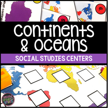
Continents & Oceans Activities - Continents & Oceans Centers - Geography Centers
This continents and oceans resource includes four hands-on center activities perfect for students to practice identifying the seven continents and five major oceans. Here’s what you’ll find inside:Continents & Oceans Playdough Mats – Students will follow the directions on each mat to say and trace each continent’s name, form the shape of the continent with playdough, say and write the continent’s name, and circle the continent on the world map. Great for multi-sensory practice and easy to pr
Subjects:
Grades:
1st - 3rd
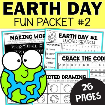
Earth Day Busy Packet - Fun March Morning Work for 2nd and 3rd Grade Worksheets
Earth Busy Work Fun Packet #2 - Tired of hearing "I'm done! Now what?" in your classroom? Quickly and easily solve that problem with this April Worksheet Fun Packet. Your students will love these fun and engaging activities that are perfect for early finishers. Create a fast finisher corner in the classroom or give each student a seasonal of themed busy work packet to work on as needed.The NO Prep Easter Busy Packet is perfect for:Morning workIndependent workHomeworkExtra practiceHigher 1st-grad
Subjects:
Grades:
1st - 3rd
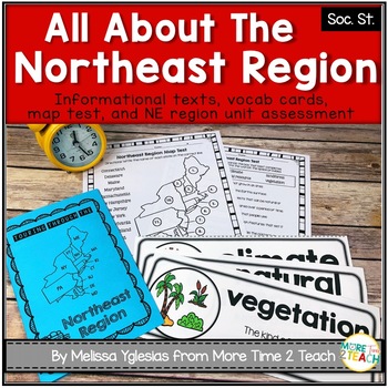
Northeast Region Unit {1 of 5 US Regions}
Help your students learn all about the NORTHEAST REGION (Connecticut, Maine, Massachusetts, New Hampshire, Rhode Island, Vermont, Delaware, Maryland, New Jersey, New York, and Pennsylvania)After many hours of searching for kid-friendly material on the NORTHEAST REGION OF THE UNITED STATES to use with my 3rd graders, I decided to create a unit of my own. My goal was to create an INTERACTIVE, ENGAGING, and KID-FRIENDLY unit! That's how this resource was born.THIS PRODUCT INCLUDES:* 6-page informat
Grades:
2nd - 4th
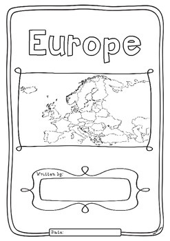
Europe 50 Countries Study - worksheets with maps and flags for each country
Kids love flags! As they colour in the flags they can learn about the countries the flags belong to and make their very own geography book about the 50 countries in the continent of Europe. One country per page with its flag and map to colour in and information to research: Capital City, Language Spoken, Population, Land Area, Religion and Interesting Facts. An additional page is provided for those who wish to add to their interesting facts.
Free Preview is the worksheet for France - each c
Subjects:
Grades:
1st - 4th
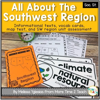
Southwest Region Unit {1 of 5 US Regions}
Help your students learn all about the SOUTHWEST REGION (Arizona, New Mexico, Oklahoma, and Texas)After many hours of searching for kid-friendly material on the SOUTHWEST REGION OF THE UNITED STATES to use with my 3rd graders, I decided to create a unit of my own. My goal was to create an INTERACTIVE, ENGAGING, and KID-FRIENDLY unit! That's how this resource was born.THIS PRODUCT INCLUDES:* 6-page informational booklet on the Southwest Region (interactive and kid-friendly)* directions on how to
Subjects:
Grades:
2nd - 4th
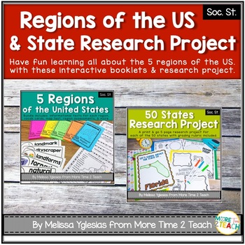
Regions of the United States Bundle & State Research Project with Rubric
Help your students learn all about the 5 REGIONS OF THE UNITED STATES and the 50 STATES in more detail with this FUN and ENGAGING BUNDLE!WEST REGION (Colorado, Idaho, Montana, Nevada, Utah, Wyoming, California, Oregon, Washington, Alaska, and Hawaii)MIDWEST REGION (Iowa, Kansas, Missouri, Nebraska, North Dakota, South Dakota, Illinois, Indiana, Michigan, Minnesota, Ohio, and Wisconsin) SOUTHWEST REGION (Arizona, New Mexico, Oklahoma, and Texas)NORTHEAST REGION (Connecticut, Maine, Massachusetts,
Grades:
2nd - 5th
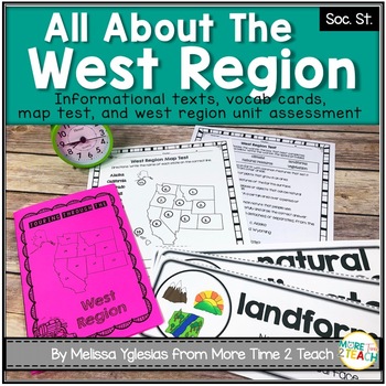
West Region Unit {1 of 5 US Regions}
Help your students learn all about the WEST REGION (Colorado, Idaho, Montana, Nevada, Utah, Wyoming, California, Oregon, Washington, Alaska, and Hawaii)After many hours of searching for kid-friendly material on the WEST REGION OF THE UNITED STATES to use with my 3rd graders, I decided to create a unit of my own. My goal was to create an INTERACTIVE, ENGAGING, and KID-FRIENDLY unit! That's how this resource was born.THIS PRODUCT INCLUDES:* 6-page informational booklet on the West Region (interact
Grades:
2nd - 4th
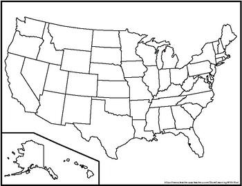
Blank United States Maps (Four map versions with Quiz)
Hi there! This file contains four maps of the United States of America: a blank mapa blank map with stars for the capitalsa blank map with states numbered in order of statehooda larger map (two-page spread) with stars for the capitalsAlso included is a fill-in sheet (quiz) for students to name the numbered states and an answer key. Thank you for shopping with "Learning With Kiwi" and happy learning!
Subjects:
Grades:
K - 8th
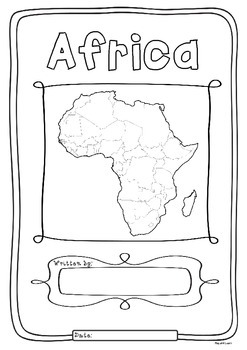
Africa 55 Countries Study - worksheets with maps and flags for each country
Kids love flags! As they colour in the flags they can learn about the countries the flags belong to and make their very own geography book about the 55 countries in the continent of Africa. One country per page with its flag and map to colour in and information to research: Capital City, Language Spoken, Population, Land Area, Currency, Religion and Interesting Facts. An additional page is provided for those who wish to add to their interesting facts.
Free Preview is the worksheet for South Afr
Subjects:
Grades:
1st - 4th
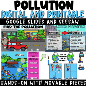
Digital & Printable Pollution Activities - Seesaw - Google Slides - PowerPoint
This resource is DIGITAL and comes with printable options as well!What you get:Google Slides and Seesaw links with various options for breaking up the lessons1 introductory lesson about pollution1 individual lesson for air, land and water pollution Embedded YouTube videos for support (can be deleted)Students will learn:definition of pollution4 types of pollution (air, land, water and noise)the causes and effects of air, land and water pollutionways we can help stop pollutionStudent Activities:f
Subjects:
Grades:
K - 2nd
Types:

Geography Jumpers: Kenya
COMPLETELY UPDATED AND RENOVATED JUNE 2016!
This unit explores the country, the continent it's located in, it's flag, and many other facts, including its culture and what school is like there. This is one unit in a series that includes 25 countries.
This series is perfect for preschoolers, Pre-K, Kindergarten, first grade, and second grade.
Items included:
Fact Sheet
Photo cards
Word wall cards
Country Poster
Flag Poster
All About Kenya info book
I Saw Kenya emergent reader
Research Report
G
Subjects:
Grades:
PreK - 2nd
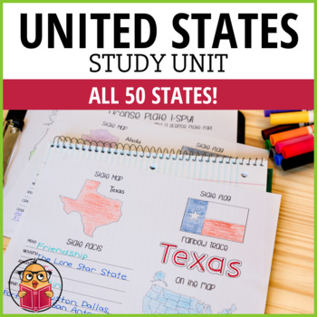
United States Geography Worksheets
Let Your Students Have Fun As They Study The States!Looking for a way to learn more about the different states in America? Then check out these United States Worksheets! This packet has one sheet for each state, with key information like the state motto, nickname, abbreviation, capital, and popular cities. So whether you're looking to brush up on your geography or just want to learn more about America's history and culture, these worksheets are a great resource. Get started learning today!*This
Subjects:
Grades:
1st - 6th
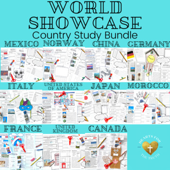
EPCOT's World Showcase Complete Country Study Unit Bundle - 11 week unit
This bundle includes country studies on the 11 countries in the World Showcase at EPCOT at Walt Disney World. Each country study is designed to last for 4 days, with daily lessons lasting for 20-30 minutes each. Day 5 is a self guided wrap up day with some movie suggestions or additional research time. Weekly lessons follow the same routine with each country.Map coloring page (students will keep one world map throughout the unit to find & color each new country on.) Fact sheet about the coun
Subjects:
Grades:
K - 3rd
Showing 1-24 of 2,099 results


