10 results
Geography Common Core RI.6.7 resources for Easel Activities
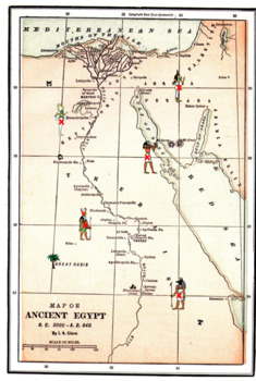
Latitude Longitude Worksheets and an Ancient Egyptian Map -Geography
This resource is a two worksheet lesson on latitude and longitude using a map of Ancient Egypt. It provides map reading practice as well as background information on Ancient Egypt. There is a Key provided. Good geography practice for all middle school students.This lesson is google classroom ready.Please e-mail me with any questions about this resource or suggestions for future resources at: ljmccormick33@yahoo.com. If you are dissatisfied in any way, please contact me right away by email or
Grades:
5th - 9th
Types:
Geography Skills Review Centers Activity
Need to review basic Geography skills? Looking for an engaging resource to review those Geography skills?Use this 26 page Geography Skills Review Centers Activity to help your students review the basic Geography skills that are so vital for any Social Studies course. Open the Preview to see the complete product.Set includes 4 skills review cards on each of the following topics:ChartsGraphsMapsInformational TextsEach card provides 5 questions to guide students in the analysis of the informationa
Grades:
3rd - 12th
Types:
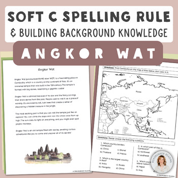
Soft C Spelling Rule and Building Background Knowledge of Monument Angkor Wat
Do your students need to review critical phonics skills while simultaneously growing their general background knowledge? With this resource, your students can practice the soft c spelling rule ("C" says /s/ when it precedes an "e," "i," or "y") while learning about the world-famous monument, Angkor Wat. The science of reading has proven that students need to build up their phonics skills while also growing their general knowledge, yet many resources focus on one skill or the other. ➡️➡️➡️This re
Subjects:
Grades:
6th - 8th
Types:
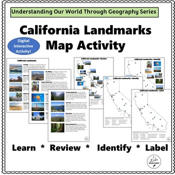
California Landmarks Map Activity with Easel Activity and Easel Assessment
Understanding the World Through Geography SeriesCalifornia Landmarks Map ActivitiesThis map of California landmarks introduces students to the major landmarks in the State of California. California has an amazing variety of natural and man-made landmarks. This map lists fourteen of these spectacular locations. Students will learn about these locations and then have the chance to label, identify, categorize and evaluate.Landmarks include:San DiegoHollywood/Los AngelesJoshua Tree National ParkDeat
Subjects:
Grades:
4th - 7th
Types:
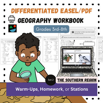
The South EASEL and PDF Differentiated US Geography Social Studies Workbook
This is my North American Geography Workbook Unit 2 of 4. Unit 2 covers The South/Southern region of the United States. These are great for Social Studies and content-based literacy in ELA. Do you need something students can do independently?Need printable AND digital options?Differentiated resources at the 3rd-8th grade level?Want a way to integrate literacy into your Social Studies classroom (or content-based writing into English class)? Look no further! You get both the digital, Easel and PDF
Subjects:
Grades:
3rd - 8th
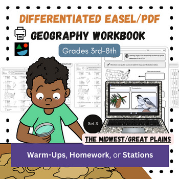
Midwest and Great Plains EASEL/PDF Differentiated US Geography Workbook
This is my North American Geography Workbook Unit 3 of 4. Unit 3 covers The Midwest and Great Plains regions of the United States. Perfect for your Social Studies or content-based ELA classroom. Do you need something students can do independently?Need printable AND digital options?Differentiated resources at the 3rd-8th grade level?Want a way to integrate literacy into your Social Studies classroom (or content-based writing into English class)? Look no further! You get both the digital, Easel an
Subjects:
Grades:
3rd - 8th
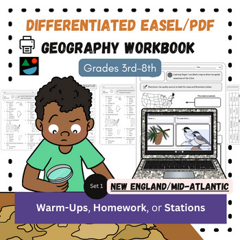
New England and Mid-Atlantic EASEL and PDF Differentiated US Geography Workbook
This is my North American Geography Workbook Unit 1 of 4. Unit 1 covers The New England and Mid-Atlantic regions of the United States. These are great for Social Studies and content-based literacy in ELA. Do you need something students can do independently?Need printable AND digital options?Differentiated resources at the 3rd-8th grade level?Want a way to integrate literacy into your Social Studies classroom (or content-based writing into English class)? Look no further! You get both the digital
Subjects:
Grades:
3rd - 8th
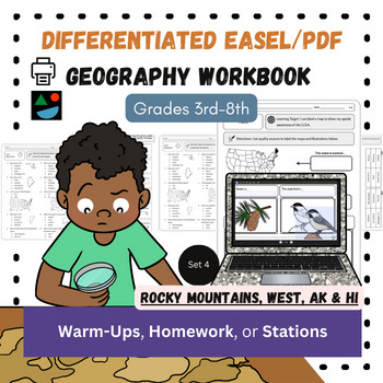
Rocky Mountains, West, AK/HI EASEL and PDF Differentiated US Geography Workbook
This is my North American Geography Workbook Unit 4 of 4. Unit 4 covers The Rocky Mountain, The West Coast, Southwest regions of the United States (plus Alaska and Hawaii). Do you need something students can do independently?Need printable AND digital options?Differentiated resources at the 3rd-8th grade level?Want a way to integrate literacy into your Social Studies classroom (or content-based writing into English class)? Look no further! You get both the digital, Easel and PDF workbook that in
Subjects:
Grades:
3rd - 8th
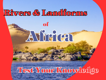
Interactive Easel Activity: Test Your Knowledge on Africa's Rivers & Landforms
Unleash your students' geographical prowess with our 'Interactive Easel Activity: Test Your Knowledge on Africa's Rivers & Landforms'. This engaging and self-checking resource is designed to test and reinforce the understanding of Africa's topography. The activity features 7 river drag-and-drop matching questions and 8 landform drag-and-drop matching questions, all based on the diverse continent of Africa. Students will not only enjoy this drag-and-drop interactive activity but also enhance
Grades:
6th - 8th
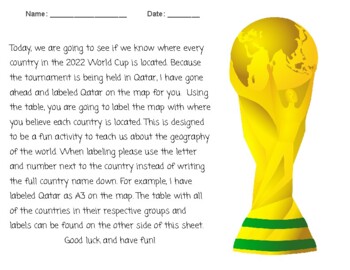
2022 FIFA World Cup Geography Search
Have your students see if they know where every country in the 2022 World Cup is located. Using the table, students are going to label the map (attached) with where they believe each country is located. This is designed to be a fun activity to teach students about world geography.
Grades:
Not Grade Specific
Types:
CCSS:
Showing 1-10 of 10 results


