3,534 results
Elementary geography guided reading books for Montessori
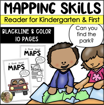
Mapping Skills Reader for Kindergarten and First Grade Social Studies
Teaching mapping skills to your students? Need to help them understand key vocabulary: map, symbols, key, cardinal directions and compass rose? Grab this reader perfect to generate talks and discussions about what maps are and how they help provide information!Includes both a blacking version for your students to color and take home! Plus a color version to project and read whole group!Information included in the reader:maps are flatmaps tell information compass rose tells north, south, east and
Subjects:
Grades:
K - 1st
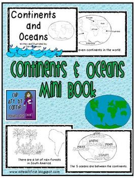
Continents and Oceans Mini Book
This is a first grade friendly emergent reader about the continents and ocean. Students will be able to read one fact about each of the continents and the oceans. Picture clues will help with text.There are 7 continents in the world.North America is made up of mostly 3 big countries.There are a lot of rain forests in South America.There are many small countries in Europe.Asia is the biggest continent.Africa is by Europe and Asia.Australia is called the "Land Down Under".Antarctica is at the So
Subjects:
Grades:
K - 3rd
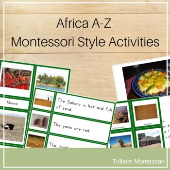
Africa A-Z Montessori Geography Pack
Africa A-Z - Montessori Geography Pack This collection of printable activities can be used to supplement your unit on Africa. It is suitable for PreK-1 but can easily be adapted for 2nd and 3rd grades as well. It features photographs and easy to read font. If you are a Montessori teacher, this will really round out your continent boxes and unit studies!In all of my Continent A-Z packs, I have tried hard to provide a wide range of representative photographs in order to give students a sense of th
Subjects:
Grades:
PreK - 3rd
Types:
Also included in: 7 Continents A-Z Bundle
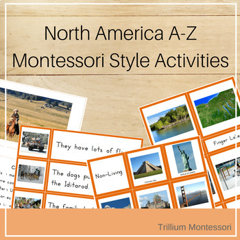
North America A-Z Montessori Geography Pack
North America A-Z Montessori PackThis collection of printable activities can be used to supplement your unit on North America. It is suitable for PreK-1 but can easily be adapted for 2nd and 3rd grades as well. It features photographs and easy to read font. If you are a Montessori teacher, this will really round out your continent boxes and unit studies!In all of my Continent A-Z packs, I have tried hard to provide a wide range of representative photographs in order to give students a sense of t
Subjects:
Grades:
PreK - 3rd
Types:
Also included in: 7 Continents A-Z Bundle
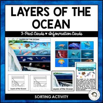
Layers of the Ocean Biome Montessori 3 Part Cards Student Blackline Worksheets
Explore the depths of the ocean with this comprehensive and engaging Montessori printable set! This Layers of the Ocean 3-Part Cards and Sorting Activities bundle includes:* A beautifully illustrated poster and animal cards for sorting and matching, featuring watercolor images of marine creatures* Two sets of 3-part cards, each with three zones (Sunlight Zone, Twilight Zone, and Midnight Zone) and five layers (Sunlight Zone, Twilight Zone, Midnight Zone, Abyss, and The Trenches) to help students
Subjects:
Grades:
K - 3rd
Also included in: Nature Curriculum in Cards Bundle
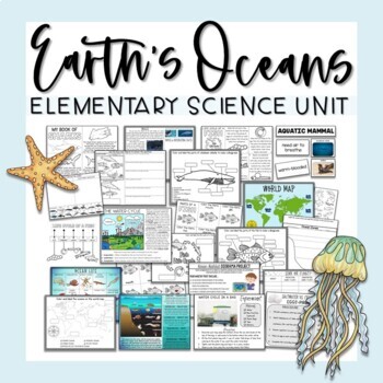
Ocean Unit
Ocean UnitThis comprehensive Ocean Unit includes several weeks worth of interdisciplinary lesson plans, reading passages, projects, research tasks, science experiments, hands-on activities, and worksheets for learning all about earth's oceans and the importance of water!Contents include:Ocean Map PostersMap Labeling ActivitiesOcean Zones Informational Posters - 2 versionsOcean Life PosterOcean Zones Labeling ActivitiesHands-On Ocean Zones Science CenterWater Cycle Informational PosterWater Cycle
Subjects:
Grades:
2nd - 4th
Types:
Also included in: Elementary Science Curriculum - Science Unit Bundle
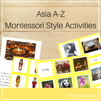
Asia A-Z Montessori Geography Pack
This collection of printable activities can be used to supplement your unit on Asia. It is suitable for PreK-1 but can be adapted for 2nd and 3rd grades as well. It features photographs and easy to read font. A clipart version and blacklines for some of the activities are also provided. See more ideas for an Asia unit on my blogThe following activities are included:1 a. Asia A-Z non-fiction book (photos and descriptions for things from Asia for each letter of the alphabet)1 b. Asia A-Z non f
Subjects:
Grades:
PreK - 2nd
Types:
Also included in: 7 Continents A-Z Bundle
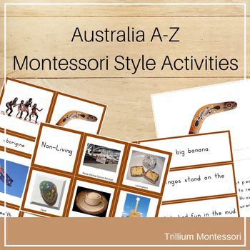
Australia A-Z Montessori Geography Pack
Australia A-Z Montessori PackThis collection of printable activities can be used to supplement your unit on Australia. It is suitable for PreK-1 but can easily be adapted for 2nd and 3rd grades as well. It features photographs and easy to read font. If you are a Montessori teacher, this will really round out your continent boxes and unit studies!In all of my Continent A-Z packs, I have tried hard to provide a wide range of representative photographs in order to give students a sense of the lusci
Subjects:
Grades:
PreK - 3rd
Types:
Also included in: 7 Continents A-Z Bundle
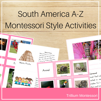
South America A-Z Montessori Geography Pack
This collection of printable activities can be used to supplement your unit on South America. It is suitable for PreK-1 but can be adapted for 2nd and 3rd grades as well. It features photographs and easy to read font. A clipart version and blacklines for some of the activities are also provided.This is a ZIPPED file and includes PDFs for the following activities:1 a. South AmericaA-Z non-fiction book (photos and descriptions for things from South America for each letter of the alphabet)1 b. S
Subjects:
Grades:
PreK - 3rd
Types:
Also included in: 7 Continents A-Z Bundle
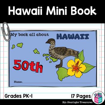
Hawaii Mini Book for Early Readers - A State Study
This Hawaii Mini Book is perfect for your students to learn about Hawaii! This book can be used for a very basic state study in lower elementary grades! This is perfect for Pre-k, Kindergarten, and 1st Grade. Each page has a basic fact about Hawaii and a scene or illustration to get students to connect to the words. The scenes can be colored in as a fun activity for the students! This printable interactive activity includes:A black/white half page mini book for students to color and readA color
Subjects:
Grades:
PreK - 2nd
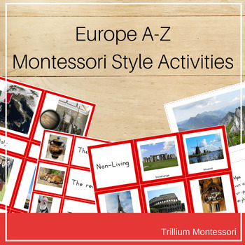
Europe A-Z Montessori Geography Pack
This collection of printable activities can be used to supplement your unit on Europe. It is suitable for PreK-1 but can be adapted for 2nd and 3rd grades as well. It features photographs and easy to read font. A clipart version and blacklines for some of the activities are also provided.See more ideas for an Europe unit on my blog and Europe Pinterest Board1 a. Europe A-Z non-fiction book (photos and descriptions for things from Europe for each letter of the alphabet)1 b. Europe A-Z non fict
Subjects:
Grades:
PreK - 3rd
Types:
Also included in: 7 Continents A-Z Bundle
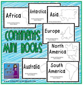
Continents Mini Book Set: 7 Emergent Readers
Continents Mini Book Set includes an easy reader for each of the 7 continents. Perfect for beginning readers.
Check out the companion book set: Oceans Mini Book Set (5 Readers):
http://www.teacherspayteachers.com/Product/Oceans-Mini-Book-Set-5-EmergentEasy-Readers-1178813
North America:
This is where North America is in the world.
North America is made up of mostly 3 big countries.
The Mississippi River is the longest river.
There are mountains in North America. The Rocky Mountains are the
Subjects:
Grades:
K - 3rd
Types:
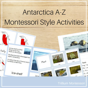
Antarctica A-Z Montessori Geography Pack
Antarctica A-Z Montessori PackThis collection of printable activities can be used to supplement your unit on Antarctica. It is suitable for PreK-1 but can easily be adapted for 2nd and 3rd grades as well. It features photographs and easy to read font. If you are a Montessori teacher, this will really round out your continent boxes and unit studies!In all of my Continent A-Z packs, I have tried hard to provide a wide range of representative photographs in order to give students a sense of the lus
Subjects:
Grades:
PreK - 3rd
Types:
Also included in: 7 Continents A-Z Bundle
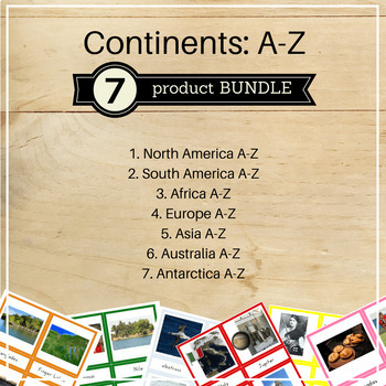
7 Continents A-Z Bundle
7 Continents A-Z BundleThis bundle includes the A-Z Montessori Packs for all 7 Continents.It is suitable for PreK-1 but can easily be adapted for 2nd and 3rd grades as well. It features photographs and easy to read font. If you are a Montessori teacher, this will really round out your continent boxes and unit studies!In all of my Continent A-Z packs, I have tried hard to provide a wide range of representative photographs in order to give students a sense of the luscious, rich diversity of our be
Grades:
PreK - 3rd
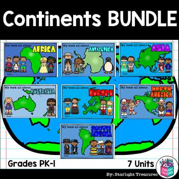
Continents BUNDLE Complete Unit for Early Readers - Asia, Europe, Africa & More!
Take your students on a trip to around the world with this complete unit bundle! It includes information on several major countries in each continent! All seven continents are highlighted and introduced!The units included are:AfricaAsiaAntarcticaAustraliaEuropeNorth AmericaSouth AmericaWhat is included in this unit?- Photo Collage Posters for each country and the continent- Continent Mini Books (half page mini book, one page will print two books)- Country Activities such as fact sheet, research
Grades:
PreK - 2nd
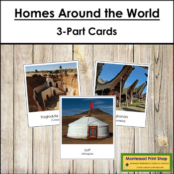
Homes Around the World 3-Part Cards - Montessori Social Studies
Homes Around the World - A beautiful photographic look at the variety of structures people around the world call home.Match the correct labels to the pictures. Check the matching using the control cards (cards with labels attached).Includes: yurt, tulou, bhunga, roundhouse, pit dwelling, hut, stilt house, tepee, igloo, apartment building, tree house, and more!Includes:26 cards with labels26 cards without labels26 labelsThe cards with labels are approx. 3½" x 3¼", cards without labels are approx.
Subjects:
Grades:
PreK - 2nd
Types:
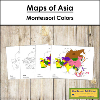
Maps of Asia (Color & Blackline Masters) - Montessori color-code
Maps of Asia (Color & Blackline Masters) - This material includes the following maps of Asia:1 black & white blank map1 black & white labeled map1 colored blank map1 colored and labeled map2 sets of map labels for the large wooden puzzle mapMaps print on 8½ x 11" paper and follow the traditional Montessori map colors.The pin flags that accompany these maps can be found here.The color-coded pin flags that accompany these maps can be found here.You may be interested in the following:As
Subjects:
Grades:
K - 4th
Types:
Also included in: Montessori Maps Of The World Bundle - World Geography
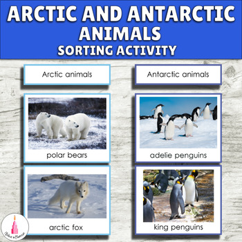
Arctic and Antarctic Polar Animals Montessori Activity - Antarctica Continent
Children often mix animals from the Arctic and Antarctica. These Montessori activity cards will help them identify and sort animals of different Polar regions. This printable will perfectly fit your Montessori continent boxes, Arctic and Antarctica unit, polar regions or geography shelf. This activity is appropriate for preschool, pre-k, kindergarten classrooms, and homeschool.The material includes such Arctic animals as arctic fox, caribou, arctic hare, polar bear, puffin, snowy owl, walrus, an
Subjects:
Grades:
PreK - 1st
Types:
Also included in: Antarctica Continent Montessori Activity Cards Bundle
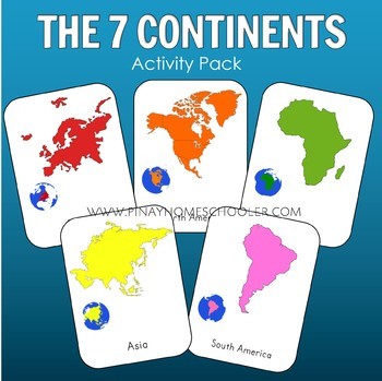
7 Continents Montessori 3 Part Cards
Montessori inspired seven continents in 3 part cards and definition cards which can be assembled into a booklet. Includes coloring and activity sheets for work extensions.BONUS MATERIALS:6 Continent Posters6 Word Map PostersEDIT 2021: The posters are BONUS MATERIALS (freebie). It only contains 6 continents (no Antarctica) because I can't seem to find an appropriate illustration for the mat/poster.RELATED PRODUCTS: ✔️Animals Around the World Bundle Pack (check the individual packs too) ✔️L
Subjects:
Grades:
PreK - 2nd
Types:
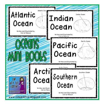
Oceans Mini Book Set (5 Emergent/Easy Readers)
This mini book set consists of 5 different books: 1 book for each of the oceans. Each page has picture labels and pictures that help early readers figure out unknown words. These work great for your study of the continents and oceans and gives facts that students can write about later! Check out the text below for each of the books so you know exactly what you are going to get with this set.
Atlantic Ocean:
The 5 oceans are between the continents.
It is the 2nd biggest ocean.
The Atlantic O
Subjects:
Grades:
K - 2nd
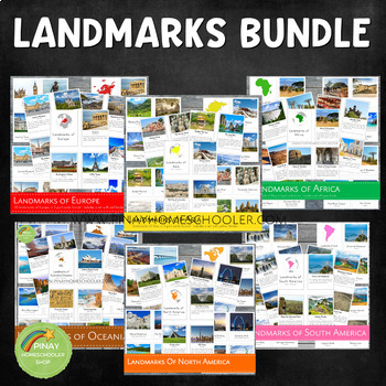
Landmarks Around the World Bundle Pack
This is a MEGA Montessori Bundle Pack, a big collection of landmarks around the world, which contains the following learning materials:✴ Landmarks of Australia/Oceania✴ Landmarks of Africa✴ Landmarks of Asia✴ Landmarks of Europe✴ Landmarks of North America✴ Landmarks of South America Be sure to check the individual files if you are just looking for one specific continent. We always use our printables at home in our homeschool journey. To see how it works, you are more than welcome to follow
Grades:
PreK - 6th
Types:
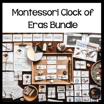
Montessori Clock of Eras Support material bundle
Montessori Clock of Eras Pack for understanding the geological time scale. This bundle includes resources for face to face teaching and digital items that can be used with google slidesHARD COPY RESOURCES:Clock of Eras Paragraphs Included:** 4 pages with descriptions of each eraMontessori Clock of Eras: 3 part cardsIncluded:** 7 sets of cards which isolate each Era plus control cards to match clock to name.Montessori Clock of Eras: Features of each eraMontessori activity to complement the clock
Subjects:
Grades:
3rd - 5th
Types:
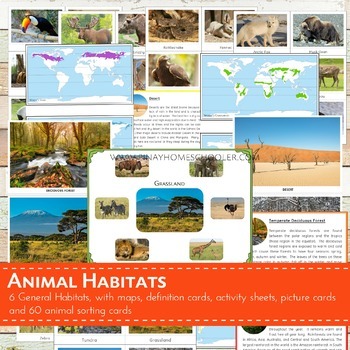
Montessori Inspired Animal World Habitats Learning Pack
I created this file for our geography and animal studies at home. We use this to study the different biomes (habitats) of the world and the animals that thrive on it. This printable is suitable for SORTING ACTIVITIES as well. The pictures I provided are big and clear enough for classroom discussion or for private use.
This file contains the following:
- 6 pictures of habitats (desert, temperate deciduous forest,
grassland, tundra, taiga, rainforest)
- 60 picture cards of animals (10 animals
Subjects:
Grades:
PreK - 6th
Types:
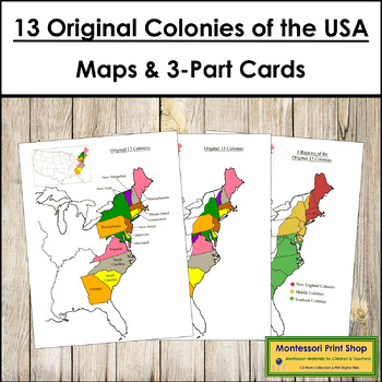
13 Original Colonies of the United States Maps, 3-Part Cards & Information
13 Original Colonies of the United States Maps & Information -Includes the following maps of the 13 original colonies of the USA as the states are divided today. The color maps are colored using the traditional Montessori map colors.Includes:1 black and white blank map1 black and white labeled map1 colored blank map1 colored and labeled map3 regions of the 13 colonies (includes maps for each of the 3 regions)It also includes the following maps of the 13 original colonies of the USA as the st
Grades:
3rd - 6th
Types:
Showing 1-24 of 3,534 results


