1,867 results
1st grade geography resources for Montessori under $5
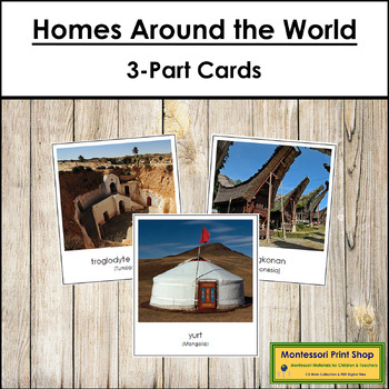
Homes Around the World 3-Part Cards - Montessori Social Studies
Homes Around the World - A beautiful photographic look at the variety of structures people around the world call home.Match the correct labels to the pictures. Check the matching using the control cards (cards with labels attached).Includes: yurt, tulou, bhunga, roundhouse, pit dwelling, hut, stilt house, tepee, igloo, apartment building, tree house, and more!Includes:26 cards with labels26 cards without labels26 labelsThe cards with labels are approx. 3½" x 3¼", cards without labels are approx.
Subjects:
Grades:
PreK - 2nd
Types:
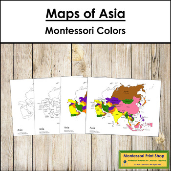
Maps of Asia (Color & Blackline Masters) - Montessori color-code
Maps of Asia (Color & Blackline Masters) - This material includes the following maps of Asia:1 black & white blank map1 black & white labeled map1 colored blank map1 colored and labeled map2 sets of map labels for the large wooden puzzle mapMaps print on 8½ x 11" paper and follow the traditional Montessori map colors.The pin flags that accompany these maps can be found here.The color-coded pin flags that accompany these maps can be found here.You may be interested in the following:As
Subjects:
Grades:
K - 4th
Types:
Also included in: Montessori Maps Of The World Bundle - World Geography
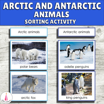
Arctic and Antarctic Polar Animals Montessori Activity - Antarctica Continent
Children often mix animals from the Arctic and Antarctica. These Montessori activity cards will help them identify and sort animals of different Polar regions. This printable will perfectly fit your Montessori continent boxes, Arctic and Antarctica unit, polar regions or geography shelf. This activity is appropriate for preschool, pre-k, kindergarten classrooms, and homeschool.The material includes such Arctic animals as arctic fox, caribou, arctic hare, polar bear, puffin, snowy owl, walrus, an
Subjects:
Grades:
PreK - 1st
Types:
Also included in: Antarctica Continent Montessori Activity Cards Bundle
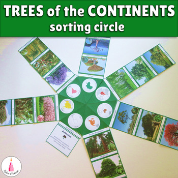
Trees of the Continents Sorting Activity Montessori
This beautiful material is wonderful for presenting trees of different continents to kids. Children love putting such big materials together. It is very good for looking at the general picture of spreading trees around the world and for learning specific trees of every continent. The material is green because all works related to plants in general or plants kingdom in my printables are color coded in green.The material has a control of error and contains color dot corresponding to the color of t
Subjects:
Grades:
K - 3rd
Types:
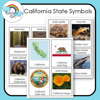
California State Symbols
There are 12 state symbols cards in this set. Although the state may have a lot more only 12 are featured.
1. Print first set and use as flash cards .
2. Print second set and use for matching word to picture.
3. Print both sets and use for matching picture to picture and word to word.
Vocabulary cards for special education, speech therapy, ESL/ELL programs, bulletin boards, centers and Montessori teaching. The cards are also great for generating discussions.
Subjects:
Grades:
K - 3rd
Also included in: State Symbols Bundle
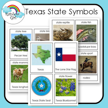
Texas State Symbols
There are 12 state symbols cards in this set. Although the state may have a lot more only 12 are featured.
1. Print first set and use as flash cards .
2. Print second set and use for matching word to picture.
3. Print both sets and use for matching picture to picture and word to word.
Vocabulary cards for special education, speech therapy, ESL/ELL programs, bulletin boards, centers and Montessori teaching. The cards are also great for generating discussions.
Subjects:
Grades:
K - 3rd
Also included in: State Symbols Bundle
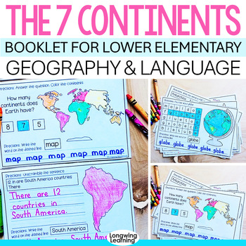
Montessori Seven Continents Interactive Book with Facts and ELA Language Skills
Are you looking for a new way to enhance your studies on the seven continents? If so, you need to try this seven continents booklet activity. This child-friendly booklet will help your students learn facts and practice various language skills while having fun with the seven continents.Save time and effort with this easy-to-print continent booklet for your lower elementary or Montessori classroom.The Seven Continents Activity Booklet is great as an introduction to a study of the continents or a s
Subjects:
Grades:
1st - 2nd
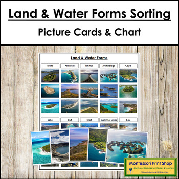
Montessori Land and Water Forms Sorting Cards & Control Chart
Montessori Land & Water Forms Sorting - Identify, sort, and classify 10 land and water forms: island, lake, peninsula, gulf, isthmus, strait, archipelago, system of lakes, cape, and bay.Includes:10 category cards10 short definition cards30 picture cards (3 for each category)1 control chartCards are approx. 3¾ x 5", and the control chart is 8½" x 11".You may be interested in the following:Simple Land & Water Forms 3-Part CardsSimple Land & Water Form BookSimple Land & Water Forms
Subjects:
Grades:
K - 2nd
Types:
Also included in: Land and Water Forms Bundle - Montessori
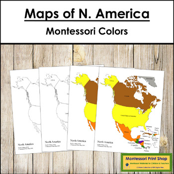
Maps of North America (Color & Blackline Masters) - Montessori color-code
Maps of North America (Color & Blackline Masters) - Includes:1 black & white blank map1 black & white labeled map1 colored blank map1 colored and labeled map2 sets of map labels for the large wooden puzzle mapMaps print on 8½ x 11" paper and follow the traditional Montessori map colors.The pin flags that accompany these maps can be found here.The color-coded pin flags that accompany these maps can be found here.You may be interested in the following:North American Capital Cities MapN
Subjects:
Grades:
K - 4th
Types:
Also included in: Montessori Maps Of The World Bundle - World Geography
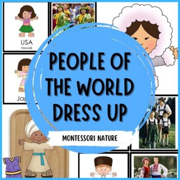
Children Of The World Dress Up
What a fun way to introduce different cultural costumes traditionally worn around the world! This printable also includes Peace Around the World printable.HERE IS WHAT’S INCLUDED:12 children with different skin tone colors (girls and boys) – clipart images a map presenting the location of each examplematch-up activity with clipart and photographs (12 sets)Print out on cardstock and laminate. Cut out every piece of clothing and invite your students to dress up children in different traditional cl
Subjects:
Grades:
PreK - 1st
Types:
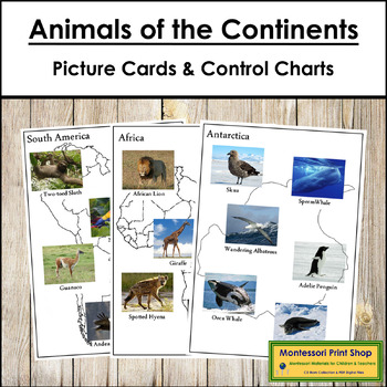
Animals of the Continents - Sorting Cards, Maps & Control Cards
Animals of the Continents (Photo Cards & Maps) - Identify, sort, and classify animals that live on each of the 7 continents. Check the classification using the control charts.This material includes:7 control maps with animals7 work maps with continent outlines42 small color photos of the animals The photos of the animals are to be cut out, sorted, and placed on the correct work map by the child. The child can then use the control maps to check their sorting.Each control sheet and worksheet p
Subjects:
Grades:
PreK - 2nd
Types:
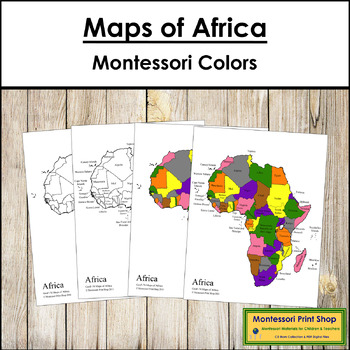
Maps of Africa (Color & Blackline Masters) - Montessori color-code
Maps of Africa (Color & Blackline Masters) - Includes the following maps of Africa:1 black & white blank map1 black & white labeled map1 colored blank map1 colored and labeled map2 sets of map labels for the large wooden puzzle mapMaps print on 8½ x 11" paper and follow the traditional Montessori map colors.The pin flags that accompany these maps can be found here.The color-coded pin flags that accompany these maps can be found here.You may be interested in the following:African Capi
Subjects:
Grades:
1st - 4th
Types:
Also included in: Montessori Maps Of The World Bundle - World Geography
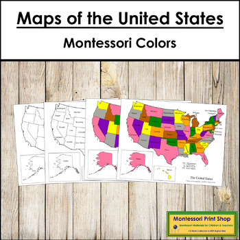
Maps of the United States of America - Montessori color-code
Maps of the United States of America - Includes the following maps of the United States:1 black & white blank map1 black & white labeled map1 colored blank map1 colored and labeled mapset of map labels for the large wooden puzzle mapMaps print on 8½ x 11″ paper and follow the traditional Montessori map colors.The pin flags that accompany these maps can be found here.The color-coded pin flags that accompany these maps can be found here.You may be interested in USA Capital Cities Control M
Subjects:
Grades:
1st - 4th
Types:
Also included in: Montessori Maps Of The World Bundle - World Geography
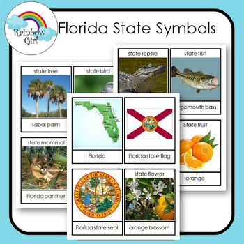
Florida State Symbols
There are 12 state symbols cards in this set. Although the state may have a lot more only 12 are featured.
1. Print first set and use as flash cards .
2. Print second set and use for matching word to picture.
3. Print both sets and use for matching picture to picture and word to word.
Vocabulary cards for special education, speech therapy, ESL/ELL programs, bulletin boards, centers and Montessori teaching. The cards are also great for generating discussions.
Subjects:
Grades:
K - 3rd
Also included in: State Symbols Bundle
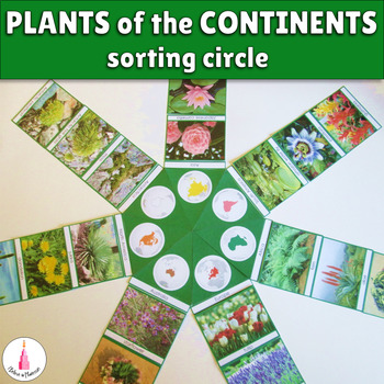
Plants of the Continents Sorting Activity Montessori
This beautiful material is wonderful for presenting different plants of different continents to kids. Children love putting such big materials together. It is very good for looking at the general picture of plants spreading around the world and for learning specific herbaceous plants of every continent. This material includes flowers, grasses, herbs, ferns, and mosses. The material is green because all works related to plants in general or plants kingdom in my printables are color coded in green
Subjects:
Grades:
K - 3rd
Types:
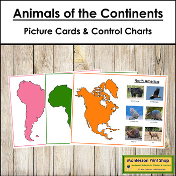
Animals of the Continents Set #2 (color) - Sorting Cards, Maps & Control Cards
Animals of the Continents Set 2 (color-coded) - Identify, sort, and classify animals that live on each of the 7 continents. Check the classification using the control charts. Continents are color-coded and follow the traditional Montessori map colors.This material includes:7 control sheets with animals7 worksheets with continents and spaces for animal cards42 color photos of the animalsThe color photos of the animals are to be cut out, sorted, and placed on the correct worksheet by the child. Th
Subjects:
Grades:
PreK - 2nd
Types:
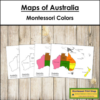
Maps of Australia (Color & Blackline Masters) - Montessori color-code
Maps of Australia (Color & Blackline Masters) - Includes the following maps of Australia (includes some labels for Oceania):1 black & white blank map1 black & white labeled map1 colored blank map1 colored and labeled mapmap labels for the large wooden puzzle mapMaps print on 8½ x 11" paper and follow the traditional Montessori map colors.The pin flags that accompany these maps can be found here.The color-coded pin flags that accompany these maps can be found here.You may be intereste
Subjects:
Grades:
K - 3rd
Types:
Also included in: Montessori Maps Of The World Bundle - World Geography
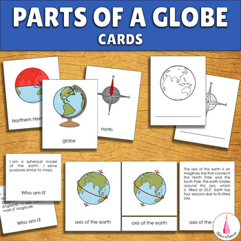
Parts of a Globe Geography Montessori 4-part Cards
These informative and fun hands-on activities will help children learn more about geography, globe, map, and compass. This learning resource is great for geography lessons, vocabulary extension and inrichments, and reading. Add it to your Montessori geography shelves, your continents unit study or geography center.The cards include such vocabulary as globe, axis of the earth, latitude, longitude, equator, prime meridian, Northern Hemisphere, Southern Hemisphere, tropics, North Pole, South Pole,
Subjects:
Grades:
PreK - 1st
Types:
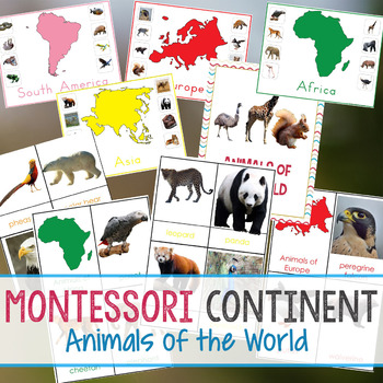
Montessori Continent Animals of The World
Animals of The World
Montessori Animals of The World Bundle
This fantastic Geography bundle is 39 pages of Hands-on Learning. It is filled with real-life animal pictures with color-coded Continents and cards.
This Montessori inspired geography bundle is geared towards 3-6 year olds. You will have 3-part cards of each of the 7 Continents and animals that live on that Continent. The animals are beautiful real life images.
Each Continent has a Control Sheet with the Colored Continent and all o
Subjects:
Grades:
PreK - 3rd
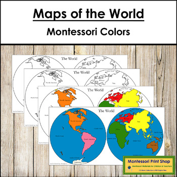
Maps of the World (Hemispheres) - Montessori color-code
Maps of the World (Hemispheres) - Includes 2 sets of world maps that are printable on both letter and legal size paper:1 colored (blue water) and labeled map1 colored and labeled map1 black and white labeled map1 blank mapThe pin flags that accompany these maps can be found here.The color-coded pin flags that accompany these maps can be found here.You may be interested in the following:Africa Control Maps & MastersAsia Control Maps & MastersAustralia Control Maps & MastersAustralasia
Subjects:
Grades:
PreK - 2nd
Types:
Also included in: Montessori Maps Of The World Bundle - World Geography
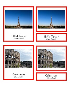
Landmarks in Europe (3 part Montessori cards)
This is a pdf file containing 3 part Montessori cards. It includes 16 landmarks from France, Norway, Germany, England, Italy, Poland, Ukraine, Romania, Czech Republic, Greece, Austria, Switzerland, Sweden, Netherlands, Iceland and Spain. Students can match picture cards and labels. Great for your Montessori continent box. ** Updated to include more countries. Set now matches the Flags of Europe set found in this store.
Subjects:
Grades:
K - 3rd
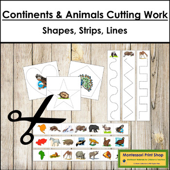
Continents & Animals Cutting Work - Scissor Practice
Continents & Animals Cutting Work - Children love cutting paper! And it’s an excellent way to help develop the hand for printing (pencil manipulation). However, learning to manipulate scissors takes a lot of practice. Cutting ‘snippets’ is easier for a child just learning to use scissors. These strips have both cutting lines and fun images that the children will enjoy. The variety of shapes and cutting patterns included offers different levels of challenges.This file includes:10 different cu
Subjects:
Grades:
PreK - 1st
Types:
Also included in: Cutting Work MEGA Bundle - Scissor Practice
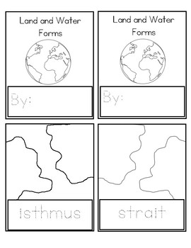
Land and Water Forms Booklet
Make your own booklet as an extension to the Montessori land and water forms material. The booklet includes tracing and coloring pages for island, lake, bay, cape, gulf, peninsula, isthmus, strait, archipelago, and system of lakes.
Subjects:
Grades:
PreK - 1st
Types:
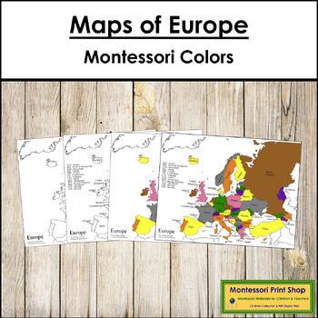
Maps of Europe (Color & Blackline Masters) - Montessori color-code
Maps of Europe (Color & Blackline Masters) - Includes the following maps of Europe:1 black & white blank map1 black & white labeled map1 colored blank map1 colored and labeled map2 sets of map labels for the large wooden puzzle mapMaps print on 8½ x 11″ paper and follow the traditional Montessori map colors.The pin flags that accompany these maps can be found here.The color-coded pin flags that accompany these maps can be found here.You may be interested in the following:European Cap
Subjects:
Grades:
K - 4th
Types:
Also included in: Montessori Maps Of The World Bundle - World Geography
Showing 1-24 of 1,867 results


