931 results
Geography printables for Google Apps and for homeschool
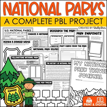
National Parks Research Activities End of Year Project Includes Yellowstone
This Visit a National Park research project will have your students so engaged, they won't want the activity to end! In this unit, students have the opportunity to plan a trip to a National Park, create a road map, write a research article, and so much more! What better way to have students use real-life math, reading, and writing skills than with this fun U.S. National Parks Activity? Now includes nonfiction reading passages and other bonus reading activities!Click HERE to SAVE 25% with the PB
Grades:
3rd - 6th
Types:
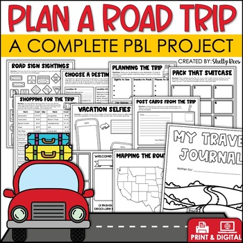
Plan a Road Trip Activities Real World Math Project Travel Brochure Vacation
This real world writing and math Plan a Road Trip project will have your students so engaged, they won't want the activity to end! In this unit, students the have opportunity to plan a trip and persuade others to visit their chosen destination! Now includes a bonus vacation journal and road trip activities!Click HERE to SAVE 25% with the PBL Activities Bundle for the Year!Click the PREVIEW above to see everything included.All of the hard work is done for you. Simply print the NO PREP pages, and
Subjects:
Grades:
3rd - 6th
Types:
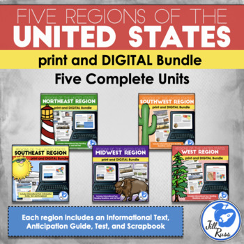
Regions of the United States: 5 Units Print and Digital Bundle Distance Learning
Your students will learn about the Northeast, Southeast, Midwest, Southwest, and West regions of the United States with this bundle of five units.This bundle includes both printable and digital options. If you would like a printable, paper-based unit, check out my Five Regions Unit Bundle, or you can get the digital options only.Each region includes a 6-page informational text packet that can be used as a "textbook chapter" when teaching about the region. While reading the complex text, your stu
Subjects:
Grades:
3rd - 6th
Types:
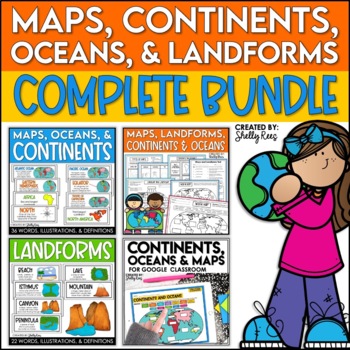
Maps, Continents and Oceans, Landforms, and Map Skills Bundle
This Social Studies bundle includes the best-selling Maps, Continents, and Landforms Interactive Notebook, along the coordinating word wall posters! Students and teachers love the ease of the hands-on printables, worksheets, and digital activities of this complete bundle!By purchasing this bundle, you are saving 20% off the full value of the individual resources.This helpful, easy to use bundle includes:Maps, Continents, Landforms, and Map Skills Interactive Notebook Continents, Oceans, and Maps
Subjects:
Grades:
3rd - 6th
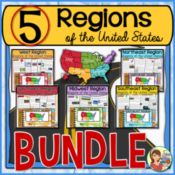
5 Regions of the United States BUNDLE (Print and Digital)
This resource contains five complete units on the U.S. regions. It includes instructional PowerPoints, guided notes, informational text packets, worksheets, 50 state informational posters, quizzes, and student created tabbed booklet activity. Read below for more information.UPDATE: This bundled resource now includes GOOGLE SLIDES versions for the student worksheets, booklets and the PowerPoint presentations.★ SAVE EVEN MORE! Get ALL of my regions resources in this EVEN BIGGER BUNDLE! ★5 Regio
Grades:
4th - 6th
Types:
4th 5th & 6th Grade Social Studies Curriculum Activities Project Unit Bundle
Social Studies Class will be your students' favorite time of the day with this popular, engaging bundle of activities, including foldables, timelines, mini books, bulletin boards, and more! The hands-on units in this bundle will help your students learn and understand the events and concepts of American History, Government, and Geography.Click the PREVIEW button above to see everything included!By purchasing this complete bundle, you are saving 20% off the price of the individual units.ALL packe
Grades:
4th - 7th
Weathering and Erosion Sorting Activity | Digital and Printable
Weathering, Erosion, and Deposition Sorting is a hands-on activity designed to help your students understand three important processes that change the earth’s surface over time. After a short introductory lesson, students will work with a partner or team to sort and classify examples of weathering, erosion, and deposition. This product includes a teacher’s guide with a step-by-step lesson plan, activity directions, illustrated sorting cards, and an answer key. Printable and Google Slides version
Subjects:
Grades:
4th - 6th
Types:
NGSS:
4-ESS2-1
Also included in: Weathering and Erosion Activity Bundle | Digital and Printable
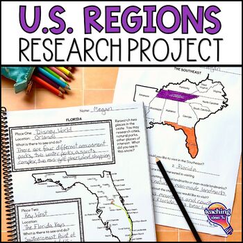
United States Geography - US Regions & State Research Project Unit
Looking for a way to make U.S. geography come alive for students? Plan a trip through the regions of the United States with this hands-on project! Students use real-world skills as they select two states in each U.S. region to visit, then research each state to decide what sites they want to see. Students then determine how they could most easily visit all of their locations in one trip and map their route. What’s IncludedPDF and Google Slide versionsExtension research page for use to different
Grades:
4th - 6th
Types:
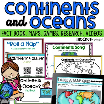
Continents and Oceans Activity | 7 Continents Printables | Ocean and Continents
Are you looking for a fun and engaging continents and oceans activity to teach map skills lessons in 2nd and 3rd grade? With engaging games, songs, maps and more, these 7 continents printables will lead to student mastery in no time! Students can label the 7 continents on a map, learn about the continents and oceans through reading passages, play continents and oceans games, sing songs, complete continent and oceans project ideas, and complete research. INCLUDES BOTH A PRINT AND DIGITAL VERSIO
Subjects:
Grades:
2nd - 4th
Types:
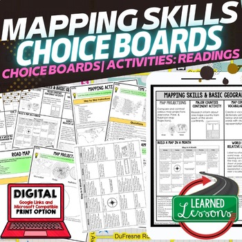
Geography Mapping Skills Activities, Geography Choice Board, Reading Passages
Mapping Skills and Basic Geography Choice Boards, Mapping Skills Readings Google Classroom, Print & Digital Learning provides differentiated activities to use with students to master the content. THIS IS ALSO PART OF SEVERAL BUNDLES World Geography MEGA BUNDLE AND World Geography Choice Board Activity BUNDLE AND Mapping Skills BUNDLE Choice Board Activities and Mapping Skills Readings Including the following: Mapping ActivityCartographerMap ScaleTypes of MapsTime ZonesRoad MapsLand and Wate
Grades:
7th - 12th
Types:
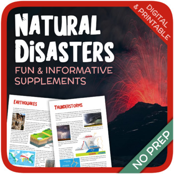
Natural Disasters
Let's learn about Natural Disasters! This worksheet includes 34 pages with a large variety of activities and exercises about natural disasters. Crosswords, word searches, puzzles and other kinds of activities are included to make it a fun and interesting class. The answers and an answer sheet are included. GOOGLE SLIDES AND FILLABLE PDF VERSIONS INCLUDED!Overview: Page 1-2: Introduction Page 3-4: EarthquakesPage 5-7: HurricanesPage 8-9: FloodsPage 10-11: Volcanic EruptionsPage 12-13: TsunamisPag
Subjects:
Grades:
5th - 12th
Types:
Also included in: Geography Bundle (Nature, Oceans, Ecosystems, and Natural Disasters)
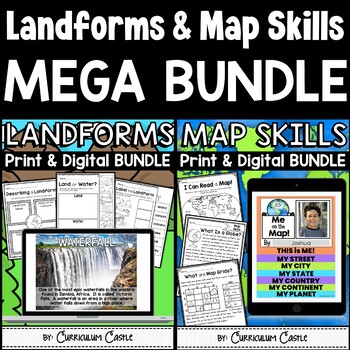
Landforms and Map Skills Print & Digital Activities MEGA BUNDLE
Make learning about geography come to life with this landforms and map skills unit for young learners! Your students will have the opportunity to explore the major landforms that shape our Earth and important beginning map skills using both printable and digital activities. Landforms PRINTABLE activities include:Recommended book listLandforms posters (landform, beach, canyon, desert, hill, island, lake, mountain, ocean, plain, plateau, river, valley, volcano, waterfall)Word Wall (beach, canyon,
Grades:
1st - 3rd
Types:
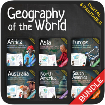
Geography of the World (Bundle)
Let’s learn about the Countries, Capitals and Geographic Features of the World! The World’s countries, capitals, geographic features, and attractions are addressed in these units with a wide variety of fun activities such as puzzles, crosswords, word searches, gap-fills and many others. GOOGLE SLIDES WITH PREMADE TEXTBOXES INCLUDED! The units also include additional map quizzes of different levels, maps, answer sheets and answer keys. BONUS: EXTRA REFLECTION MATERIALS THAT COVER ALL UNITS! You
Subjects:
Grades:
6th - 11th
Types:
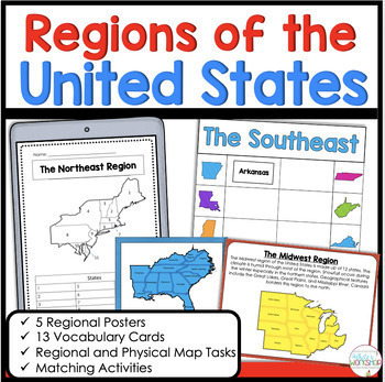
5 Regions of the United States Matching Vocabulary Map Skills Digital and Print
Use these engaging, hands-on map skills activities to teach your students about the northeast, southeast, midwest, southwest, and west regions. This product includes information about each regional, map skills, and activities that help students learn about the US Regions. Easily print and go or upload to Google Classroom!Stop spending hours searching for Social Studies resources. This activity is the perfect for the busy classroom. You can use these activities in your whole group social studi
Subjects:
Grades:
3rd - 5th
Types:
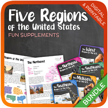
The Five Regions of the United States (Bundle)
Let’s learn about the Five Regions of the United States! This bundle includes 114 pages with a wide variety of activities and exercises about the Five Regions of the United States. Word searches, crosswords, puzzles and other kinds of activities are included to make it a fun and interesting class. Additional reflection activities are included that cover all the five regions. GOOGLE SLIDES WITH PREMADE TEXTBOXES INCLUDED! The following units are included: The NortheastThe MidwestThe SoutheastThe
Grades:
5th - 9th
Types:
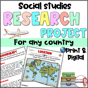
Social Studies Research Project for any Country - Culture and Geography Digital
Social Studies research project for any country / Geography research projectEngage your students in an exciting social studies research project that explores the rich cultural heritage and geography of different countries. This country research project encourages students to explore fascinating topics such as history, traditions, and customs. Through this hands-on geography investigation, students develop a deeper understanding of global diversity and enhance their research and critical thinkin
Subjects:
Grades:
2nd - 6th
Types:
Also included in: Social Studies research project for any country in Spanish - landforms
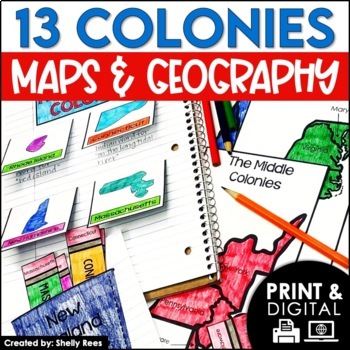
13 Colonies Map and Activities | Colonial America Unit | DIGITAL & PRINTABLE
Your students will love learning about the 13 Colonies maps and geography with this interactive packet. These hands-on activities, like maps, foldables, bulletin board, and more, will help your students learn and understand the geography and regions of Colonial America!Click the PREVIEW above to see everything included in this resource!Click here and SAVE 20% by buying ALL 15 Social Studies Interactive Notebooks and Mini Units in one Year-Long Bundle.This resource includes both a printable vers
Grades:
3rd - 6th
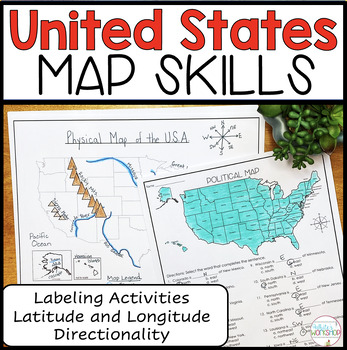
United States Map Skills | Latitude and Longitude | Compass Rose
Engage your students in U.S. map skills which include labeling political, physical, and regional maps, identifying cities and states on a map using lines of latitude and longitude, and comparing locations using cardinal and intermediate directions. These map skills are perfect for small groups, centers, whole group social studies projects, homework, and substitute plans. ⭐️ PDF and Google Slides formats ⭐️Follow my White's Workshop store for more great resources! ❤️ Includes:PDF Version 8 Co
Subjects:
Grades:
3rd - 5th
Types:
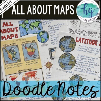
All About Maps Doodle Notes and Digital Guided Notes
This doodle notes set covers basic information about maps. It includes cardinal and intermediate directions, compass rose, scale, 3 types of maps (Physical, Political, and Choropleth), cartographer, map vs. globe, Latitude, Longitude, Equator (0 degrees), North Pole (90 degrees N), South Pole (90 degrees S), Northern Hemisphere, Southern Hemisphere, Prime Meridian (0 degrees), International Date Line (180 degrees), Eastern Hemisphere, Western Hemisphere. What's included with the printed Doodle N
Subjects:
Grades:
6th - 9th
Types:
Australia (country study)
Let’s get to know Australia! This worksheet includes 21 pages with a great variety of activities and exercises about Australia. The materials have informative exercises about the things that Australia is famous for, such as the Great Barrier Reef, Aboriginals, Tasmania, the Sydney Opera House, and many other things! Word searches, puzzles and other kinds of activities are included to make it a fun and interesting class. GOOGLE SLIDES WITH PREMADE TEXTBOXES INCLUDED! Overview:Page 1-2: Introduct
Grades:
6th - 11th
Types:
Also included in: Top 10 Best-selling Units (Country Studies Bundle)
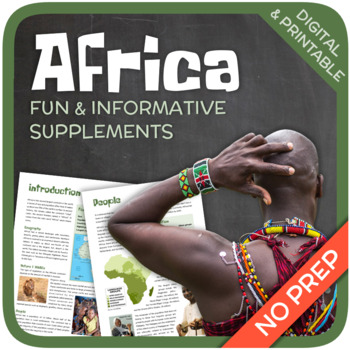
Africa
Let’s get to know Africa! This worksheet includes 36 pages with a wide variety of activities and exercises about Africa. The materials have informative exercises about the things that Africa is famous for, such as tribal peoples, natural resources, Nelson Mandela, wildlife, Nelson Mandela, pyramids and many other things! Crosswords, word searches, puzzles and other kinds of activities are included to make it a fun and interesting class. GOOGLE SLIDES WITH PREMADE TEXTBOXES INCLUDED! Overview:Pag
Grades:
5th - 11th
Types:
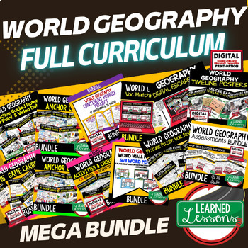
World Geography Full Curriculum, World Geography Activities, Mega Bundle Mapping
This WORLD GEOGRAPHY FULL CURRICULUM includes EVERYTHING you will need to plan for an engaging year in your SECONDARY WORLD GEOGRAPHY classroom in PRINT & GOOGLE LINKS! Buy now to save money because the price will increase as new activities are added. Each unit includes a one page digital download page where you can make copies directly to your Google Drive or to PDF. This entire bundle has been revamped and reorganized to provide better planning structure. Here is a video on how to use a
Grades:
7th - 12th
Types:
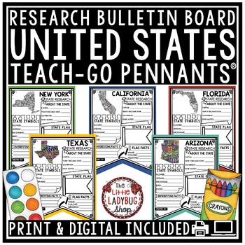
US United States and Capitals Report Research End of Year Project Bulletin Board
You will love these Creative Doodle United States Research Teach-Go Pennants™ that are perfect to start your research with and display on your bulletin boards. CLICK HERE TO CHECK OUT OVER 200 TEACH-GO PENNANTS™INCLUDED:Print & digital options included, see page 3 & 4 for digital info.All pages in BW options (see preview)Clickable Table of Contents These are research templates- actual research is not included.Grading Rubric includedBlank Pennant included if students want to draw their ow
Grades:
3rd - 5th
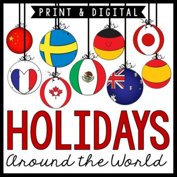
Holidays Around the World | Christmas Around the World | Print and Digital
Looking for a hands-on way to teach about holidays around the world? This cross-curricular hands-on unit will keep your students engaged during the holiday season. Reading passages are provided for each country in the unit to allow for use in your Reading/LA block along with Social Studies. This is perfect to use in a single classroom and also works well with students traveling to multiple classrooms. Note: This now contains a link on page 2 of the PDF that allows for use in Google Classroom. Th
Grades:
2nd - 5th
Types:
Also included in: Holidays Around the World / Christmas Around the World BUNDLE
Showing 1-24 of 931 results


