399 results
Middle school geography classroom forms for parents
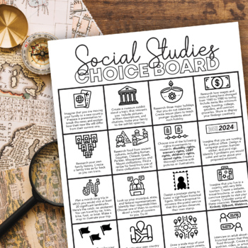
Social Studies Choice Board: Project-Based Independent Learning
Keep their brains active and get them engaged in their learning with this project-based Social Studies choice board! These projects will activate prior knowledge and motivate students to seek out new skills they have not yet mastered.This choice board includes sixteen project choices that involve multiple real-life social studies applications, including:physical geographyculturehistory current eventsgovernment and politicslandmarkssymbologyeconomicsIt's up to you to decide how to use this choice
Subjects:
Grades:
6th - 10th
Mandela: Long Walk to Freedom Viewing Guide
A key part of holding students' attention and keeping them interested in class is relevance. The 2013 film Mandela: Long Walk to Freedom is a Social Studies teacher's dream! It's new, exciting, AND uber-educational! YAY!
Here's my tried and true viewing guide pack for the film. It includes student questions to answer during the film (in order), teacher notes (answers and lets you know when to hit FastForward due to some intimate moments), a permission slip to send home to parents, and a refle
Grades:
7th - 12th
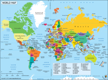
Google Form Map Tests/Assignments Bundle! 8 Different Maps and Tests!
This is a bundle of 8 quizzes/assignments, all on Google Forms. These include:Continents and OceansNorth and Central AmericaCaribbeanSouth AmericaAfricaAsiaEurope25 Countries I want my students to knowThese are all done on Google Forms. They are editable if you want to change them. I have included the answer key, a copy of the map, and a blank copy of the map for each if you want to prepare a study guide. You can access these through Google Drive. Please let me know if you have any question
Grades:
3rd - 12th
Types:
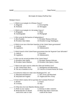
8th Grade US History Pretest/Posttest
This is a pretest for US History until the 20th century. It is a 50 question, multiple choice test and includes an answer key. If you would like to give this test through Google Forms, let me know and I will share it with you!
Subjects:
Grades:
7th - 12th
Types:
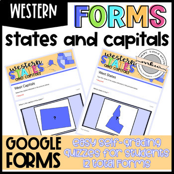
Western States and Capitals Quizzes
After your students have studied their states and capitals, test their knowledge with these Google Forms. Assign these on Google Classroom to easily collect student data. These are perfect for distance learning!Why Should you use Google Forms?Self-Grading/Checking Automatically Collects & Organizes DataFully Editable (add/delete/edit questions)Online Testing PracticeWhat’s Included:This resource includes 12 West Region Google Forms - 6 Multiple Choice and 6 Fill In. See the Instructions PDF
Grades:
2nd - 12th
Types:
Also included in: Western States and Capitals BUNDLE!
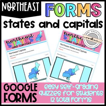
Northeast States and Capitals Quizzes
After your students have studied their states and capitals, test their knowledge with these Google Forms. Assign these on Google Classroom to easily collect student data. These are perfect for distance learning!Why Should you use Google Forms?Self-Grading/Checking Automatically Collects & Organizes DataFully Editable (add/delete/edit questions)Online Testing PracticeWhat’s Included:This resource includes 12 Northeast Region Google Forms - 6 Multiple Choice and 6 Fill In. See the Instructions
Grades:
2nd - 12th
Types:
Also included in: States and Capitals MEGA BUNDLE!
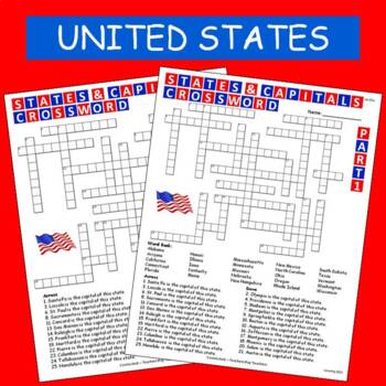
States & Capitals Crossword Part 1 of 2 FREE
This is part 1 of my States & Capitals Crossword worksheet set. Part 2 is also available on TPT. I use these as review and homework assignments. Answer key included. Two versions, one version has a word bank the other version does not.See also:States & Capitals Crossword Part 2 of 2
Subjects:
Grades:
4th - 8th
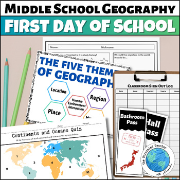
World Geography First Day of School Activities for Middle School Geography
Be prepared on the first day of school with these Middle School World Geography activities and classroom items. This comes as a printable PDF file. The map quiz and Crash Course questions have Google options for digital assignment. Included you will find:A Student Survey "My Personal Flag" ActivityMap the Classroom ActivityWorld Geography Dominoes Group ActivityBasic World Geography Quiz in Color and Black and WhiteThe Five Themes of Geography Printable Posters in Black & White and ColorA Cl
Grades:
6th - 7th
Types:
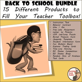
Beginning of the Year Starter Kit Bundle - 15 Social Studies Products
Back to School - Beginning of the Year Starter Kit. When I first started teaching I remember feeling overwhelmed because I didn't have any resources to start with. Whether you are just starting out with teaching or looking to add to your teacher toolbox here is a starter pack for the beginning of your school year. Included in this purchase is a five-pack of printable materials such as:1. An introduction letter to parents regarding you, your class, and your background. There is a template se
Grades:
5th - 8th
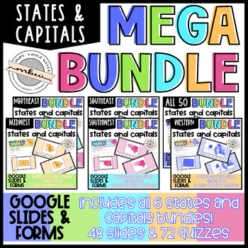
States and Capitals MEGA BUNDLE!
Help your students achieve states and capitals mastery with these cute, fun, flashcard style slides! After your students have studied their states and capitals, test their knowledge with these Google Forms. This BUNDLE includes Google Slides and Google Forms - both of which can easily be posted to Google Classroom, Canvas, etc. Once posted, your students can access the slides whenever they have free time. The quizzes allow you to easily collect student data. These are perfect for distance learni
Grades:
2nd - 12th
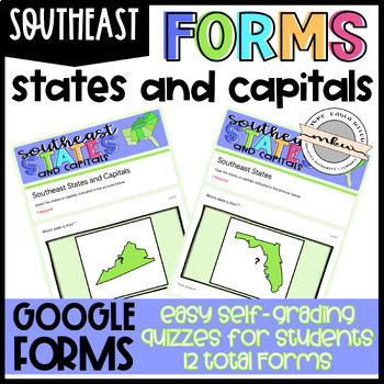
Southeast States and Capitals Quizzes
After your students have studied their states and capitals, test their knowledge with these Google Forms. Assign these on Google Classroom to easily collect student data. These are perfect for distance learning!Why Should you use Google Forms?Self-Grading/Checking Automatically Collects & Organizes DataFully Editable (add/delete/edit questions)Online Testing PracticeWhat’s Included:This resource includes 12 Southeast Region Google Forms - 6 Multiple Choice and 6 Fill In. See the Instructions
Grades:
2nd - 12th
Types:
Also included in: States and Capitals MEGA BUNDLE!
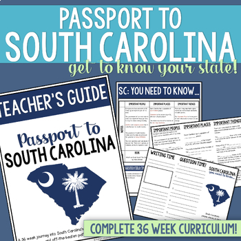
South Carolina History & Geography Homeschool Curriculum | Explore SC Bundle
This homeschool focused South Carolina History curriculum for elementary students is perfect for families who want to explore South Carolina while learning together!If you're homeschooling in South Carolina, chances are you've wanted to experience all of the history that this state has to offer, but have been overwhelmed with where to start. Look no further! After enjoying a semester of South Carolina adventures with my three homeschooled children, I knew we had to share what we had been up to w
Grades:
4th - 6th
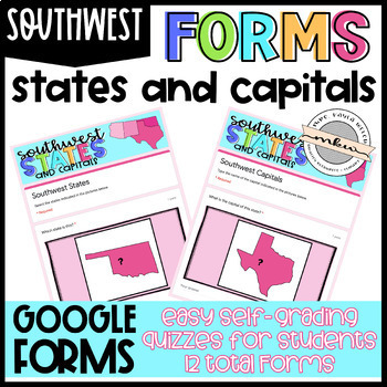
Southwest States and Capitals Quizzes
After your students have studied their states and capitals, test their knowledge with these Google Forms. Assign these on Google Classroom to easily collect student data. These are perfect for distance learning!Why Should you use Google Forms?Self-Grading/Checking Automatically Collects & Organizes DataFully Editable (add/delete/edit questions)Online Testing PracticeWhat’s Included:This resource includes 12 Southwest Region Google Forms - 6 Multiple Choice and 6 Fill In. See the Instructions
Grades:
2nd - 12th
Types:
Also included in: Southwest States and Capitals BUNDLE!
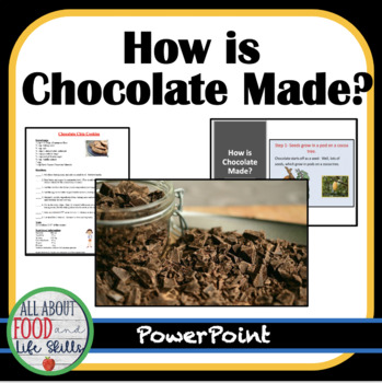
How Is Chocolate Made?
Have you ever wondered how chocolate is made around the world? Cookie tips, how chocolate is made, five video links, and a chocolate chip cookie recipe are included.Recommended ResourceFoods Unit- Comparing Food Products~~~~~~~~~~~~~~~~~~~~~~~~~~~~~~~~~~~~~~~~~~~⭐ Check out the other 300+ resources that I sell! ✔️ Free Newsletter✔️ Free Resources✔️ Resources in My Store✔️ Facebook Great Videos and Resources to Use in Class ✔️ Pinterest❤️️ I would love to hear from you! I value customer reviews s
Subjects:
Grades:
5th - 8th
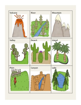
Landforms
This awesome packet incorportates geography and bits of writing. Students will really enjoy the following worksheets and activities...
1. A cut, glue, and stick landform clip art matching activity.
2. Draw a picture to match the definition of landforms.
3. Make a list of natural resources and write about what you know about them.
4. Rock hunt page where students hunt for 3 different rocks, write their observations, and illustrate their rocks.
5. Matching page with 10 different landfor
Subjects:
Grades:
PreK - 9th
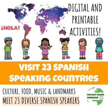
Learn Spanish Cultures From 25 Students - PDF + Editable Slides + Activities
Project-Based Language Learning: Meet 25 Students from Across the Hispanophone WorldThe following places are included:Argentina Bolivia Chile Colombia Costa Rica Cuba Dominican Republic Ecuador El Salvador Equatorial Guinea Guatemala Honduras Mexico Nicaragua Panama Paraguay Peru Puerto Rico Spain Uruguay Venezuela Western SaharaUnited States of AmericaAndorraBelizeThere are over 500 pages in this resource which can be used in the classroom and digitally, while some are repetitive pages that eac
Subjects:
Grades:
6th - 11th
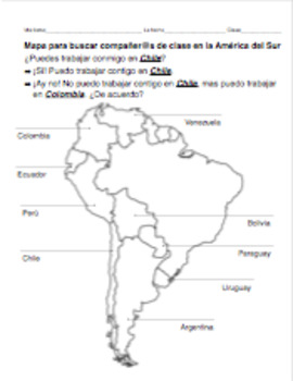
PACK of 4 partner maps for Spanish: Central and South America COUNTRIES/CAPITALS
This PACK includes 4 partner maps for the price of 3 !!
This .zip file includes 4 separate partner maps for Spanish-speaking countries in the Americas:
- South America: countries
- South America: capitals
- Mexico/Central America: countries
- Mexico/Central America: capitals (and countries)
Each sheet includes an outline map of South America or Mexico/Central America, with the Spanish-speaking countries and/or capitals labeled. Each student will use a map to keep track of who will be their par
Subjects:
Grades:
4th - 12th
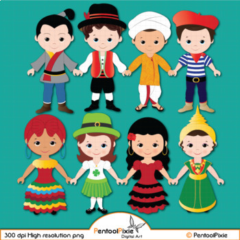
Children of the World clipart, World Children, ethnic clipart - PART 4
Our Children around the world clipart is created with an intention of educating our students about world cultures, traditional dressing, and more which will be our main focus in creating more content. Stay tuned!--------------------------------------------------------------------------------------19 total images (10 vibrant, colored images, 9 BW versions)All images are saved as PNG formats with transparent backgrounds and are of High resolution - 300 dpi.-----------------------------------------
Grades:
PreK - 8th, Higher Education, Adult Education, Staff
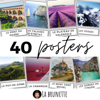
40 posters de décoration sur la France - 40 posters for display about France
40 incredible French sites to display in your classroom !Bring some cultural and colourful elements to your French classroom or MFL corridor with these 40 beautiful pictures of France. This resource includes :This resource includes 40 pictures (PDF format) of the best and most incredible cities, regions and landscapes to visit in France. Each PDF page has a picture in a frame and its name in a separate frame, below. Check the VIDEO PREVIEW to view ALL pictures ! These French touristic sites are
Subjects:
Grades:
PreK - 12th, Staff
Also included in: POSTERS MEGA BUNDLE - 280 PRINTABLE PAGES - France and Francophonie
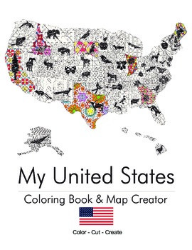
My United States. Black & White Coloring Book & Map Creator.
My United States is a coloring book for adults & children alike.
Children can work with their teacher or parent to cut out each of the pages once colored and assemble their unique map. The finished coloring book is a fun educational tool to help children understand their country, including what animal, flower or object is represented by that state. Patterns range from beginner to intermediate. This is an excellent tool for both geography teachers and parents.
End Map Dimensions: 30" x 25"
Subjects:
Grades:
K - 9th
Types:
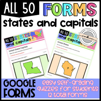
All 50 States and Capitals Quizzes
After your students have studied their states and capitals, test their knowledge with these Google Forms. Assign these on Google Classroom to easily collect student data. These are perfect for distance learning!Is this basically all your individual regions resources combined? Is this a bundle?Simple answer: No. Long answer, the individual regions focus on one region. The students only see the western region in the western region quizzes. This resource shows the entire country. This is perfect to
Grades:
2nd - 12th
Types:
Also included in: All 50 States and Capitals BUNDLE!
GEOGRAPHY OF AFRICA QUIZ (PRINT + DIGITAL VERSIONS)
GUARANTEE BOTH VERSIONS OF THE GEOGRAPHY OF AFRICA QUIZ WITH THIS BUNDLE!This bundle includes both the print and digital versions of the perfect quiz for your Geography of Africa class! The digital version is compatible with G. Forms and is auto-graded to facilitate your life and the print version comes with the answer key! The major topics of the questions are:- Countries and regions of Africa;- Landforms and physical features;- Human-environment interaction and its effects on the continent.You
Grades:
5th - 8th
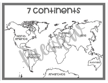
Black and White World Map | Coloring Sheet
This black and white map shows all 7 continents accurately labeled. This is a printable map that would be great in a simple and minimalist classroom. This map can also be printed off, copied, and be used for coloring sheets for students. *The first page is the world map*The second page is the credits page
Grades:
PreK - 9th
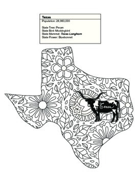
Black & White Texas Map Coloring Sheet. Contains State Facts
This Texas coloring sheet is part of a set of 20 of the United States. Some of the sets contain between 1 and 7 states.
Once colored children can cut out each of the pages and assemble their unique map. The finished coloring book is a fun educational tool to help children understand their country, including what animal, flower or object is represented by that state. Patterns range from beginner to intermediate. This is an excellent tool for geography teachers and parents alike.
Thank you for
Subjects:
Grades:
K - 9th
Types:
Showing 1-24 of 399 results


