235 results
Preschool geography homework activboard activities
My Vacation Journal: student homework while away
When students go on vacations during the school year, parents often ask for their homework in advance. But let's be honest: who plans their lessons that far ahead of time?
Instead of sending a bunch of worksheets with my students, I send this vacation journal. It is an authentic way for students to work on geography, math, writing, and art. At the end of the trip, it is a great keepsake for families.
This travel journal saves me so much time, plus - kids and families love it!
It includ
Subjects:
Grades:
PreK - 5th
Types:
France Fact Booklet and Activities | Nonfiction | Comprehension | Craft
France - the smell of warm croissants and Eiffel Tower! Your kids will have a fantastic time learning about French traditions. Engaging activities with a French flair are included in this fact booklet!This fact booklet on France is a great resource to use for a research project on countries around the world/Europe with your pre-k/kindergarten class and struggling first graders. Included in this product is a black and white informational book about France that can be used for independent reading
Subjects:
Grades:
PreK - 1st
Also included in: Countries Fact Booklet Bundle | Crafts | Comprehension | Writing
Italy Fact Booklet and Activities | Nonfiction | Comprehension | Craft
The activities in this fact booklet have been carefully selected to capture the interest of young learners. And who can resist the Leaning Tower of Pisa and the smell coming from the kitchen of charming pizza bakers? The pages in this engaging fact booklet contain basic facts and related illustrations that are perfect for coloring.This fact booklet on Italy is a great resource to use for a research project on countries around the world/Europe with your pre-k/kindergarten class and struggling fir
Subjects:
Grades:
PreK - 1st
Also included in: Countries Fact Booklet Bundle | Crafts | Comprehension | Writing
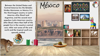
Hispanic Heritage Month~ Virtual Field Trip to Spanish Speaking Countries
I have collected a comprehensive collection of resources, activities, and read alouds intended to celebrate Hispanic Heritage through virtual field trip to each country. These animated Google Slides are great for online, in-person class learning and/or communication. This is an awesome way to keep your audience engaged and allows students of all levels to access. Also a great resource to share with parents to encourage/engage students in reading at home. Currently there are over 50+ resources li
Grades:
PreK - 5th
Types:
England Fact Booklet and Activities | Nonfiction | Comprehension | Craft
In this fact booklet, students will learn key information about England. It includes a range of engaging activities such as drawing the famous landmark the London Bridge, and a red double-deck bus activity. There is a cute Padding bear craft - your students will just love the bear!This fact booklet on England is a great resource to use for a research project on countries around the world/Europe with your pre-k/kindergarten class or with your struggling first graders. Included in this product is
Subjects:
Grades:
PreK - 1st
Also included in: Countries Fact Booklet Bundle | Crafts | Comprehension | Writing
Germany Fact Booklet and Activities | Nonfiction | Comprehension | Craft
This fun fact booklet is perfect to use for an around the world unit. As your students work through this booklet, they will learn about special landmarks in Germany and football - the world’s most popular ball sport. The included activities enable students to explore magical fairy tale castles and the delicious smell of pretzels!This fact booklet on Germany is a great resource to use for a research project on countries around the world/Europe with your pre-k/kindergarten class and struggling fir
Subjects:
Grades:
PreK - 1st
Also included in: Countries Fact Booklet Bundle | Crafts | Comprehension | Writing
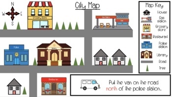
Map Skills & Cardinal Directions Google Slides
These slide are packed full of interactive map activities. It includes the following slides.1 Definitions page1 Fill in the compass rose4 Holiday follow the cardinal directions4 use cardinal directions on a map4 map key questions3 map questions3 Fairytale use the arrows to find the wayThese slides meet many of the geography standards for elementary students.
Subjects:
Grades:
PreK - 2nd
Types:
Guatemala Reading Comprehension Worksheet Bundle Country Central America
This passage has three articles related to Guatemala: People, Government and Cities, and Geography. I've included a color and black and white version of each product, as well as the key. Each individual listing has more information and previews. Great for a quick study of Guatemala! INCLUDES:PeopleGeographyGovernment and Cities*I do my best to make sure I do not have typos, but occasionally they slip through. PLEASE message me and I will correct it quickly to ensure my product meets your ex
Subjects:
Grades:
PreK - 7th
Types:
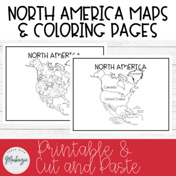
North America Maps and Coloring Sheets | Black and White | Printable
North America Maps and Coloring Sheets | Black and White | Cut & Paste | PrintableThese black and white North America worksheets can be printed off and copied for students to color, cut and paste, and reference. Due to the black and white simple colors, students can also color in the maps and worksheets to their liking. They can also be used for a map in your modern classroom. The first page is a map of North America with countries labeled. The second page is a coloring page with common Nort
Grades:
PreK - 8th
Types:
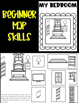
Beginner Map Skills: My Bedroom
With this activity set, learners can create their own bedroom. During my Beginner Map Skills Class for 3-6 year olds, we discuss our bedroom and where things are located using directional words. This is an activity set I have used in the classroom and the students love completing to show off their skills in class. Students get to cut and paste items they might find in their bedroom or design their own. This set includes an example of a bedroom for students to see how to piece together the images
Grades:
PreK - 2nd
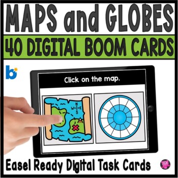
Maps and Globes Kindergarten and 1st Grade Digital Social Studies Centers
Add exciting DIGITAL activities to your map skills units with these maps and globes task cards and Boom Cards! This is a set of 40 map skills and globes task cards to give kindergarten, 1st grade, and SPED students practice with different types of maps, land, water, map symbols, globes, map keys, compass rose, buildings and more. These NO PREP map and globe digital activities will go with ANY geography/social studies units and are perfect for beginning primary grade students!You will be able to
Grades:
PreK - 1st
CCSS:
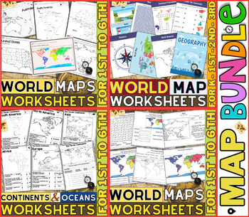
World Map Worksheets | Continents and Oceans Blank Map | 1st to 12th Grade
⭐⭐⭐⭐⭐Kids enjoy studying about the world in which they live! With the help of these entertaining printable Continents and Oceans Worksheets, they will love learning about the seven continents and the corresponding geography. For students in kindergarten, first grade, second grade, third grade, fourth grade, fifth grade and sixth grade utilize these worksheets on continents and oceans. After printing the Continents and Oceans Worksheets pdf, you can begin learning and having fun.These printable W
Grades:
PreK - 9th
Types:
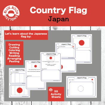
Japan Flag Activity / Japanese Flag Craft
Help your students learn about, interact with, manipulate, and answer questions about the country flag.Many options for differentiation and fun activities to help your students remember what the country's flag looks like.Cover shapes, colors, and numbers while you examine the flag together as a class. It makes for a fun craft, homework, or in class assignment.
Subjects:
Grades:
PreK - 2nd
Types:
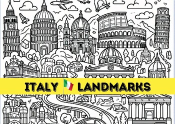
Discover Italy with this engaging coloring page Includes famous Italian landmark
Ciao Bella! Embark on an Italian Adventure with These Captivating Coloring Pages! Calling all wanderlust-stricken souls and coloring enthusiasts! Get ready to brushstroke your way through the breathtaking beauty of Italy with this enchanting collection of coloring pages.Unleash your inner Michelangelo as you bring to life iconic landmarks that have whispered stories through the ages:The Colosseum, where gladiatorial battles once roared, now stands as a monument to ancient might. (Insert image of
Subjects:
Grades:
PreK - 3rd
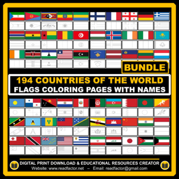
BUNDLE Countries of the World Flags Coloring Pages with Names
Let your kids or your class students Have fun learning about the countries of the world with these flags coloring pages with Name (194 FLAGS).We really appreciate you purchasing our digital resources and we hope you'll enjoy using them.Please FOLLOW US if you'd like to receive notifications when we upload new products and freebies.DOWNLOAD. PRINT. DONE!RATING AFTER DOWNLOADING IS VERY APPRECIATED.
Grades:
PreK - 6th
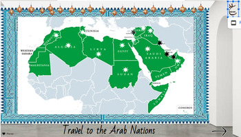
Arab Heritage Month~ Virtual Field Trip
I have collected a comprehensive collection of resources, activities, and read alouds intended to celebrate Arab Heritage through virtual field trip to each country. These animated Google Slides are great for online, in-person class learning and/or communication. This is an awesome way to keep your audience engaged and allows students of all levels to access. Also a great resource to share with parents to encourage/engage students in reading at home. Currently there are over 50+ resources linked
Subjects:
Grades:
PreK - 5th
Types:
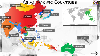
Asian Pacific Heritage Month~ Virtual Field Trip
I have collected a comprehensive collection of resources, activities, and read alouds intended to celebrate Asian Pacific Heritage through virtual field trip to each country. Each country has links to videos, online research resources (Britannica, National Geographic, ect) and cultural activities. These animated Google Slides are highly engaging and great for online, in-person class learning and/or communication. This is an awesome way to keep your audience engaged and allows students of all lev
Grades:
PreK - 5th
Types:
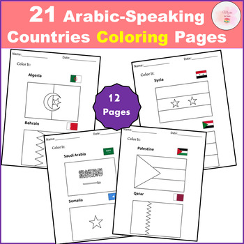
21 Arabic-Speaking Countries Coloring Pages - Flag
Discover the perfect educational tool with our "21 Arabic-Speaking Countries Coloring Pages FLAGS"! Designed to engage young minds, these pages solve the problem of learning geography and cultural awareness in a fun, interactive way. Empower children to recognize and appreciate the flags of all 21 Arabic-speaking countries through creative coloring.This clip art set contains 21 Arabic-Speaking Countries black and white line artAll the world flags you'll need, conveniently bundled in one pack.Th
Subjects:
Grades:
PreK - 12th
Types:
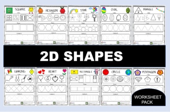
Funny 2D Shapes Bundle
We spotted you all love our Funny 2D shapes. Now we make a bundle for them. If you want you can get all of the shapes cheaper!
Subjects:
Grades:
PreK - K
Types:
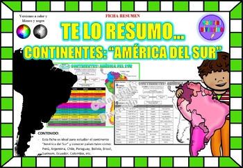
FICHA RESUMEN - Te lo Resumo... "América del Sur" (IMPRIMIBLES) |GEOGRAFÍA|
A sus estudiantes les encantará esta ficha resumen sobre "Los Continentes: América del Sur". Esta hoja incluye pequeños datos del hombre de: Perú, Chile, Argentina, Brasil, Paraguay, Venezuela, etc. Esta hoja resumen es perfecta para revisión, una actividad rápida, un proyecto de investigación, un organizador gráfico, centros, proyectos de toda la clase o proyectos de equipo. Los estudiantes pueden divertirse mientras aprenden todo sobre el continente de América del Sur. ¡Esta hoja resumen es pe
Grades:
PreK - 12th, Higher Education, Adult Education
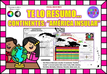
FICHA RESUMEN - Te lo Resumo... "América Insular" (IMPRIMIBLES) |GEOGRAFÍA|
A sus estudiantes les encantará esta ficha resumen sobre "Los Continentes: América Insular (Antillas)". Esta hoja incluye pequeños datos del hombre de: Cuba, Haití, Jamaica, Dominica, Barbados, Bahamas, Granada, Santa Lucía, etc. Esta hoja resumen es perfecta para revisión, una actividad rápida, un proyecto de investigación, un organizador gráfico, centros, proyectos de toda la clase o proyectos de equipo. Los estudiantes pueden divertirse mientras aprenden todo sobre el continente de América In
Grades:
PreK - 12th, Higher Education, Adult Education
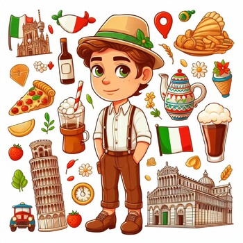
Discover Italy with this engaging coloring page Includes famous Italian landmark
Ciao Bella! Embark on an Italian Adventure with These Captivating Coloring Pages! Calling all wanderlust-stricken souls and coloring enthusiasts! Get ready to brushstroke your way through the breathtaking beauty of Italy with this enchanting collection of coloring pages.Unleash your inner Michelangelo as you bring to life iconic landmarks that have whispered stories through the ages:The Colosseum, where gladiatorial battles once roared, now stands as a monument to ancient might. (Insert image of
Subjects:
Grades:
PreK - 3rd
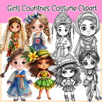
Girls Countries Costume and Flags Clipart (30 Countries )
Girls Countries Costume and Flags Clipart (30 Countries )This clipart set features cute and adorable girls wearing costumes from different countries. It comes in both color and BW versions and includes flags in color and BW. In total 120 PNG image files with transparent backgrounds.30 Countries United States (USA) Canada United Kingdom ( England) Australia FranceGermany Italy Spain Japan China India Brazil Mexico South Africa Russia16. Egypt 17. Argentina 18. Greece 19. South Korea 20. New Zeal
Grades:
PreK - 6th, Staff
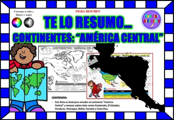
FICHA RESUMEN - Te lo Resumo... "América Central" (IMPRIMIBLES) |GEOGRAFÍA|
A sus estudiantes les encantará esta ficha resumen sobre "Los Continentes: América Central". Esta hoja incluye pequeños datos del hombre de: Guatemala, El Salvador, Honduras, Nicaragua, Belice, Panamá y Costa Rica. Esta hoja resumen es perfecta para revisión, una actividad rápida, un proyecto de investigación, un organizador gráfico, centros, proyectos de toda la clase o proyectos de equipo. Los estudiantes pueden divertirse mientras aprenden todo sobre el continente de América Central. ¡Esta ho
Grades:
PreK - 12th, Higher Education, Adult Education
Showing 1-24 of 235 results


