8 results
7th grade geography flash cards for Easel Activities
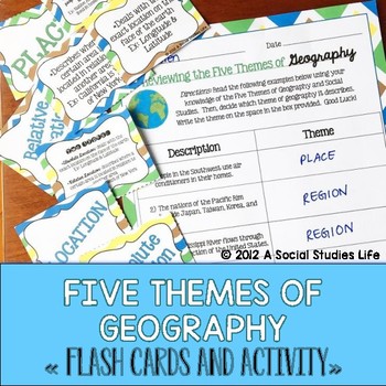
Five Themes of Geography Flash Cards and Activity
Your students will love this Five Themes of Geography flash card set. The cards are a great activity to use for review. I print out a few sets, laminate back to back and have the students use them for review before a test/exam. Or, you can have the students utilize them if they "finish early!"Included in this resource:• 5 Themes of Geography Flash Cards Cover Page• Flash Cards:◦ Location◦ Absolute Location◦ Relative Location◦ Place◦ Human Characteristics◦ Physical Characteristics◦ Human-Environm
Grades:
5th - 8th
Also included in: Geography Flash Cards BUNDLE
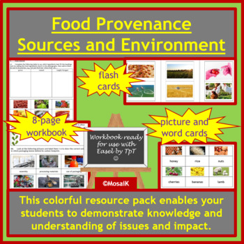
Food Provenance Sustainability Earth Day Sources Geography Cooking Environment
Where does our food come from? This workbook will guide your students through the varied answers to this question. Use the cue cards for matching up activities before or after the written and discussion tasks. The handy flashcards can be used for consolidation at the end of the lesson or unit, to check how much your students have learnt. A document with suggestions for use and differentiation is also included to help you adapt these resources to your students' needs.The workbook can of course be
Subjects:
Grades:
5th - 12th
Also included in: Food Preparation Cooking Nutrition Easel Bundle
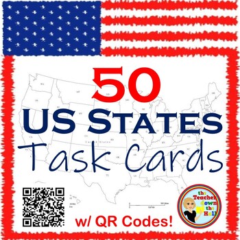
United States Task Cards w/ QR Codes - Know Your States!
Need a way for your students to study our 50 states independently? On each task card students will see the shape of each state, where it is located in the US, and its state motto. There job is to identify it! They can use their mobile devices and check their answers with the QR codes or record answers on included answer sheet. Great for stations, early finisher projects, and even quizzes! **You may also like:50 States BingoUS State Capitals BingoHow a Bill Becomes Law Classroom ActivitiyTe
Grades:
5th - 8th
Types:
Geography Vocabulary Activity Cards with Digital Easel Activity
Geography Vocabulary Cards - Key Terms to Understand. 84 geography terms on bright and colorful chevron cards and three worksheets for writing definitions. Includes 3 definition pages of geography words to know to use as study guide, and 3 vocabulary worksheet pages for students to record the geography definitions and notes. Great supplement to Earth Day activities. Digital and Print: I have also made an Easel Activity ready for learning with digital tools. Assign it online in Google Classroom
Subjects:
Grades:
4th - 7th
Types:
CCSS:
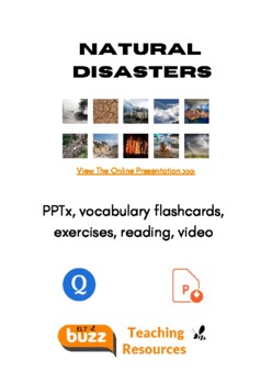
Natural Disasters. Vocabulary. Weather. Geography. ESL. Reading. ELLs. ELA.
Students learn the names of common natural disasters and discuss, define, explain. Includes:1. Online and printable flashcards (click the link to go to the professionally designed Quizlet set.2. A beautiful pptx, presenting each of 20 natural disasters. 3. Exercises. Watch the video and then do the exercises (answer keys). Labeling and reading. See our other natural disaster vocabulary lesson resource. ESL, EFL, ESOL, worksheets, disasters, environment, nature, learning English, printables, tea
Subjects:
Grades:
4th - 12th, Higher Education, Adult Education
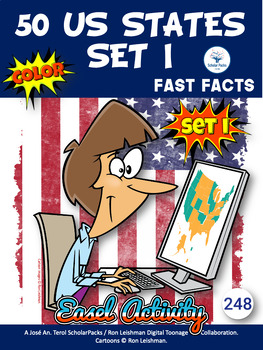
50 US STATES. Fast facts - The Complete Packet. Color/B&W version.
252 50US/BPCBW-The BIG and complete packet.A large set to study the US states, capitals, and regions throughout the entire school year with lots of activities, using their research skills.This packet is a collaboration with artist Ron Leishman. Toons are created by Ron Leishman. Other cliparts are created by TpT authors : maps by Dancing Crayon DesignsFast Facts, Wordsearches, Crosswords, Unscrambles, Fill in , Label... Activities B&W included:50 US States:Set IAlabama, Arizona, Arkansas, Ca
Subjects:
Grades:
1st - 7th
Types:
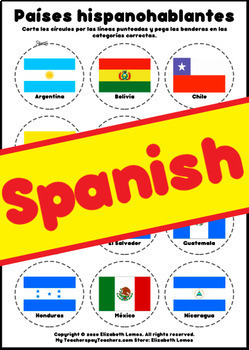
Countries Países hispanohablantes por zonas geográficas (Spanish) (Digital TpT)
Países hispanohablantes por zonas geográficas (Spanish) (+ Digital TpT)Descripción del producto:- Nombre y bandera de cada país hispanohablante (21 países)- Fichas para organizar los países hispanohablantes por zonas geográficas (6 regiones) con solución y nota.- Actividad de cortar y pegar (es necesario imprimir o puede realizarse con capturas de pantalla si la actividad se debe realizar a distancia)- Actividad digital en TpT Digital (digital)Students who have already used this product: 10th, 1
Subjects:
Grades:
K - 12th, Higher Education, Adult Education, Staff
Types:
Also included in: Flash cards & Activities in Spanish - BUNDLE (48 products)
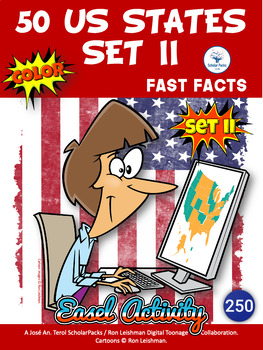
250) 50 US States. Fast facts - Set II. Color
250 50US/2C-An amazing and great set to study the US states, capitals, and regions throughout the entire school year with lots of activities, using their research skills.This packet is a collaboration with artist Ron Leishman. Toons are created by Ron Leishman. Other cliparts are created by TpT authors : maps by Dancing Crayon DesignsFast Facts, Wordsearches, Crosswords, Unscrambles, Fill in , Label... Activities B&W included:24 US States:Alaska, Connecticut, Delaware, Hawaii, Idaho, Iowa, K
Subjects:
Grades:
1st - 7th, Adult Education
Types:
Showing 1-8 of 8 results


