116 results
Higher education Thanksgiving geography activboard activities
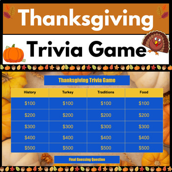
Thanksgiving Trivia Game | Middle School and High School | Jeopardy-Style
Are you trying to figure out a FUN class activity that is Thanksgiving themed before Thanksgiving Break?This Jeopardy style "Thanksgiving Trivia Game” on Google Slides is a ready to use game for you and your class! This Google Slides "Thanksgiving Trivia Game" covers these topics:1. Thanksgiving History Trivia2. Turkey Trivia3. Thanksgiving Traditions Trivia4. Thanksgiving Food TriviaThis Google Slides "Thanksgiving Trivia Game" includes :Teacher answer key with: -Two Instructional S
Grades:
4th - 12th, Higher Education, Adult Education, Staff
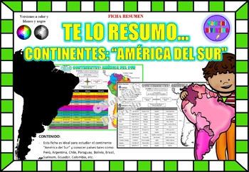
FICHA RESUMEN - Te lo Resumo... "América del Sur" (IMPRIMIBLES) |GEOGRAFÍA|
A sus estudiantes les encantará esta ficha resumen sobre "Los Continentes: América del Sur". Esta hoja incluye pequeños datos del hombre de: Perú, Chile, Argentina, Brasil, Paraguay, Venezuela, etc. Esta hoja resumen es perfecta para revisión, una actividad rápida, un proyecto de investigación, un organizador gráfico, centros, proyectos de toda la clase o proyectos de equipo. Los estudiantes pueden divertirse mientras aprenden todo sobre el continente de América del Sur. ¡Esta hoja resumen es pe
Grades:
PreK - 12th, Higher Education, Adult Education
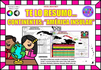
FICHA RESUMEN - Te lo Resumo... "América Insular" (IMPRIMIBLES) |GEOGRAFÍA|
A sus estudiantes les encantará esta ficha resumen sobre "Los Continentes: América Insular (Antillas)". Esta hoja incluye pequeños datos del hombre de: Cuba, Haití, Jamaica, Dominica, Barbados, Bahamas, Granada, Santa Lucía, etc. Esta hoja resumen es perfecta para revisión, una actividad rápida, un proyecto de investigación, un organizador gráfico, centros, proyectos de toda la clase o proyectos de equipo. Los estudiantes pueden divertirse mientras aprenden todo sobre el continente de América In
Grades:
PreK - 12th, Higher Education, Adult Education
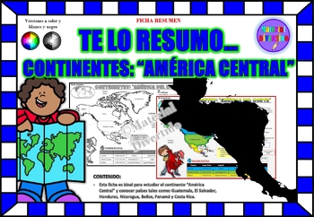
FICHA RESUMEN - Te lo Resumo... "América Central" (IMPRIMIBLES) |GEOGRAFÍA|
A sus estudiantes les encantará esta ficha resumen sobre "Los Continentes: América Central". Esta hoja incluye pequeños datos del hombre de: Guatemala, El Salvador, Honduras, Nicaragua, Belice, Panamá y Costa Rica. Esta hoja resumen es perfecta para revisión, una actividad rápida, un proyecto de investigación, un organizador gráfico, centros, proyectos de toda la clase o proyectos de equipo. Los estudiantes pueden divertirse mientras aprenden todo sobre el continente de América Central. ¡Esta ho
Grades:
PreK - 12th, Higher Education, Adult Education
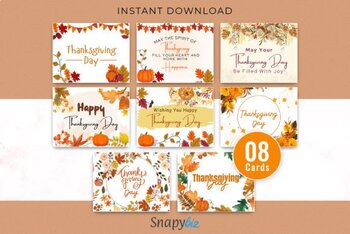
Thanksgiving Printable Cards
Are you looking for an easy way to show your love and appreciation to your family this Thanksgiving? Look no further than these happy Free Thanksgiving printable cards! Creative yet tasteful, these cards feature inspiring words about giving thanks that you can print at home and share with your loved ones.Say goodbye to searching through endless stores for the perfect Thanksgiving card – with these digital, printable cards, you can have the perfect Thanksgiving card without any hassle! All you ne
Subjects:
Grades:
7th - 12th, Higher Education, Adult Education, Staff
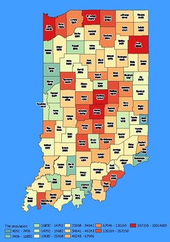
Indiana State Map with Population, Density, Area with Worksheet
Click Here>>> click here to subscribe to our storeIndiana State Map with Population, Density, Area with WorksheetDiscover the state of Indiana in an exciting and interactive way with this set of 4 detailed maps! Each map is categorized by county and provides essential information on population, density, and area, providing a comprehensive overview of the state's diversity and demographics.The population map shows the numerical distribution of residents in each county of the state, provi
Grades:
4th - 10th, Higher Education
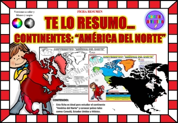
FICHA RESUMEN - Te lo Resumo... "América del Norte" (IMPRIMIBLES) |GEOGRAFÍA|
A sus estudiantes les encantará esta ficha resumen sobre "Los Continentes: América del Norte". Esta hoja incluye pequeños datos del hombre de: Canadá, Estados Unidos y México. Esta hoja resumen es perfecta para revisión, una actividad rápida, un proyecto de investigación, un organizador gráfico, centros, proyectos de toda la clase o proyectos de equipo. Los estudiantes pueden divertirse mientras aprenden todo sobre el continente de América del Norte. ¡Esta hoja resumen es perfecta para presentar
Grades:
PreK - 11th, Higher Education, Adult Education
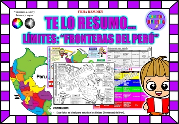
FICHA RESUMEN - Te lo Resumo... "Fronteras del Perú" (IMPRIMIBLES) |GEOGRAFÍA|
A sus estudiantes les encantará esta ficha resumen sobre "Los Tratados Limítrofes del Perú". Esta hoja incluye pequeños datos de los tratados limítrofes: Protocolo de Rio de Janeiro, Tratado Salomón-Lozano, Tratado Velarde-Rio Branco, Tratado Rectificación de Fronteras “Polo-Bustamante” y Tratado de Lima. Esta hoja resumen es perfecta para revisión, una actividad rápida, un proyecto de investigación, un organizador gráfico, centros, proyectos de toda la clase o proyectos de equipo. Los estudiant
Grades:
1st - 12th, Higher Education, Adult Education
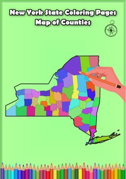
New York State Coloring Pages Map of Counties Highlighting Rivers Lakes Cities
Click Here>>> for more interactive resourcesNew York State Coloring Pages Map of Counties Highlighting Rivers Lakes CitiesOpen your mind to New York colorful adventure with these exciting coloring pages! Explore and bring each New York county to life with these detailed and engaging illustrations. Each page offers a unique opportunity to explore Alabama's geography, highlighting its rivers, lakes, and key towns.These coloring pages are ideal for anyone interested in discovering the beau
Grades:
PreK - 12th, Higher Education
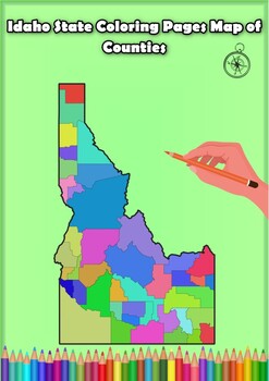
Idaho State Coloring Pages Map of Counties Highlighting Rivers Lakes Cities
Click Here>>> for more interactive resourcesIdaho State Coloring Pages Map of Counties Highlighting Rivers Lakes CitiesOpen your mind to Idaho colorful adventure with these exciting coloring pages! Explore and bring each Idaho county to life with these detailed and engaging illustrations. Each page offers a unique opportunity to explore Alabama's geography, highlighting its rivers, lakes, and key towns.These coloring pages are ideal for anyone interested in discovering the beauty and ge
Grades:
PreK - 12th, Higher Education
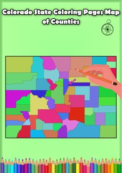
Colorado State Coloring Pages Map of Counties Highlighting Rivers Lakes Cities
Click Here>>> for more interactive resourcesColorado State Coloring Pages Map of Counties Highlighting Rivers Lakes CitiesOpen your mind to Colorado colorful adventure with these exciting coloring pages! Explore and bring each Colorado county to life with these detailed and engaging illustrations. Each page offers a unique opportunity to explore Alabama's geography, highlighting its rivers, lakes, and key towns.These coloring pages are ideal for anyone interested in discovering the beau
Grades:
PreK - 12th, Higher Education
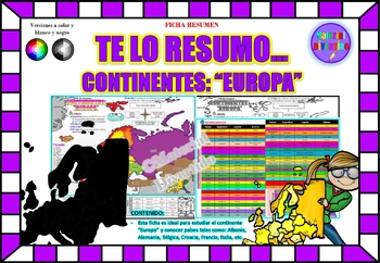
FICHA RESUMEN - Te lo Resumo... "Europa" (IMPRIMIBLES) |GEOGRAFÍA|
A sus estudiantes les encantará esta ficha resumen sobre "Los Continentes: Europa". Esta hoja incluye pequeños datos del hombre de: Albania, Alemania, Bélgica, Croacia, Francia, Italia, etc. Esta hoja resumen es perfecta para revisión, una actividad rápida, un proyecto de investigación, un organizador gráfico, centros, proyectos de toda la clase o proyectos de equipo. Los estudiantes pueden divertirse mientras aprenden todo sobre el continente de Europa. ¡Esta hoja resumen es perfecta para prese
Grades:
PreK - 12th, Higher Education, Adult Education
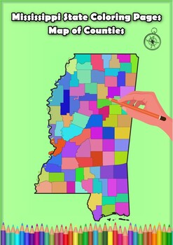
Mississippi State Coloring Pages Map of Counties Highlighting Rivers Lakes Citie
Click Here>>> for more interactive resourcesMississippi State Coloring Pages Map of Counties Highlighting Rivers Lakes CitiesOpen your mind to Mississippi colorful adventure with these exciting coloring pages! Explore and bring each Mississippi county to life with these detailed and engaging illustrations. Each page offers a unique opportunity to explore Alabama's geography, highlighting its rivers, lakes, and key towns.These coloring pages are ideal for anyone interested in discovering
Grades:
PreK - 12th, Higher Education
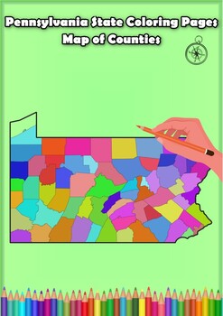
Pennsylvania State Coloring Pages Map of Counties Highlighting Rivers Lakes City
Click Here>>> for more interactive resourcesPennsylvania State Coloring Pages Map of Counties Highlighting Rivers Lakes CitiesOpen your mind to Pennsylvania colorful adventure with these exciting coloring pages! Explore and bring each Pennsylvania county to life with these detailed and engaging illustrations. Each page offers a unique opportunity to explore Alabama's geography, highlighting its rivers, lakes, and key towns.These coloring pages are ideal for anyone interested in discover
Grades:
PreK - 12th, Higher Education
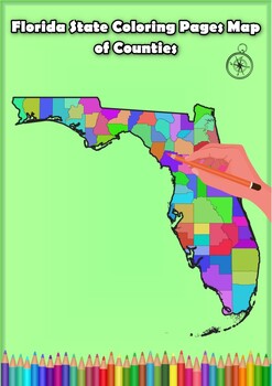
Florida State Coloring Pages Map of Counties Highlighting Rivers Lakes Cities
Click Here>>> for more interactive resourcesFlorida State Coloring Pages Map of Counties Highlighting Rivers Lakes CitiesOpen your mind to Florida colorful adventure with these exciting coloring pages! Explore and bring each Florida county to life with these detailed and engaging illustrations. Each page offers a unique opportunity to explore Alabama's geography, highlighting its rivers, lakes, and key towns.These coloring pages are ideal for anyone interested in discovering the beauty
Grades:
PreK - 12th, Higher Education
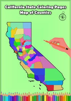
California State Coloring Pages Map of Counties Highlighting Rivers Lakes Cities
Click Here>>> for more interactive resourcesCalifornia State Coloring Pages Map of Counties Highlighting Rivers Lakes CitiesOpen your mind to California colorful adventure with these exciting coloring pages! Explore and bring each California county to life with these detailed and engaging illustrations. Each page offers a unique opportunity to explore Alabama's geography, highlighting its rivers, lakes, and key towns.These coloring pages are ideal for anyone interested in discovering th
Grades:
PreK - 12th, Higher Education
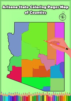
Arizona State Coloring Pages Map of Counties Highlighting Rivers Lakes Cities
Click Here>>> for more interactive resourcesArizona State Coloring Pages Map of Counties Highlighting Rivers Lakes CitiesOpen your mind to Arizona colorful adventure with these exciting coloring pages! Explore and bring each Arizona county to life with these detailed and engaging illustrations. Each page offers a unique opportunity to explore Alabama's geography, highlighting its rivers, lakes, and key towns.These coloring pages are ideal for anyone interested in discovering the beauty
Grades:
PreK - 12th, Higher Education
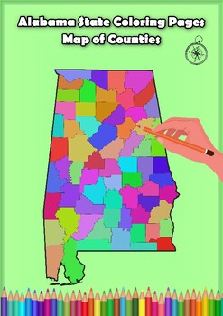
Alabama State Coloring Pages Map of Counties Highlighting Rivers Lakes Cities
Click Here>>> for more interactive resourcesAlabama State Coloring Pages Map of Counties Highlighting Rivers Lakes CitiesOpen your mind to Alabama colorful adventure with these exciting coloring pages! Explore and bring each Alabama county to life with these detailed and engaging illustrations. Each page offers a unique opportunity to explore Alabama's geography, highlighting its rivers, lakes, and key towns.These coloring pages are ideal for anyone interested in discovering the beauty
Grades:
PreK - 12th, Higher Education
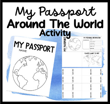
My Passport | Around The World Activity | Places I Want To Go & Visit
Embark on a Global Adventure with Our Student Passport Activity!Are you ready to take your students on an exciting journey around the world? Introducing our Student Passport Activity, where students can create their very own passports, explore different countries, and experience the wonders of the world right in your classroom!Why Choose Our Student Passport Activity?Personalized Passport Creation: Our activity allows students to unleash their creativity by designing and customizing their own pa
Grades:
PreK - 12th, Higher Education, Adult Education, Staff
PE Turkey Fitness Cards (PE and Classroom) Versions
It's Gobble Gobble and Wobble Wobble Bundle Time!Both PE Turkey Fitness Cards (PE and Classroom Version)PE VersionHave your students work on over 40 different exercises/PE challenges with these fun, creative, and Turkey-inspired Fitness Cards.Each card has a Health or PE-related picture/piece of equipment with some Turkey spunk and an exercise (easily explained) for students to perform.Ways to Use1. Show the turkey slides on the projector/computer and let your students just move to some music as
Subjects:
Grades:
PreK - 12th, Higher Education, Adult Education, Staff
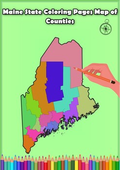
Maine State Coloring Pages Map of Counties Highlighting Rivers Lakes Cities
Click Here>>> for more interactive resourcesMaine State Coloring Pages Map of Counties Highlighting Rivers Lakes CitiesOpen your mind to Maine colorful adventure with these exciting coloring pages! Explore and bring each Maine county to life with these detailed and engaging illustrations. Each page offers a unique opportunity to explore Alabama's geography, highlighting its rivers, lakes, and key towns.These coloring pages are ideal for anyone interested in discovering the beauty and ge
Grades:
PreK - 12th, Higher Education
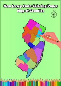
New Jersey State Coloring Pages Map of Counties Highlighting Rivers Lakes Cities
Click Here>>> for more interactive resourcesNew Jersey State Coloring Pages Map of Counties Highlighting Rivers Lakes CitiesOpen your mind to New Jersey colorful adventure with these exciting coloring pages! Explore and bring each New Jersey county to life with these detailed and engaging illustrations. Each page offers a unique opportunity to explore Alabama's geography, highlighting its rivers, lakes, and key towns.These coloring pages are ideal for anyone interested in discovering th
Grades:
PreK - 12th, Higher Education
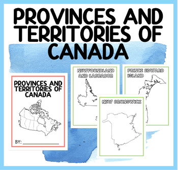
PROVINCES AND TERRITORIES OF CANADA | BOOKLET
Engage Your Students with Our Captivating "Discover Canada" Booklet! Are you searching for an interactive and educational resource to teach your students about the provinces and territories of Canada? Look no further! Our "Discover Canada" booklet is the perfect tool to spark curiosity and promote learning in your classroom.Here's what our captivating booklet offers: Detailed Exploration: Take your students on a journey across Canada as they dive into the rich and diverse landscape of our beauti
Subjects:
Grades:
PreK - 12th, Higher Education, Adult Education, Staff
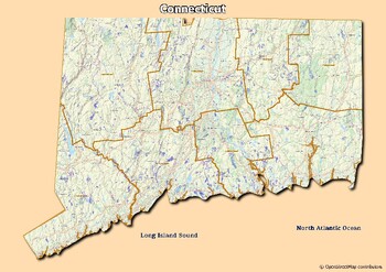
Map of rivers and map of lakes in the state of Connecticut, USA
Map of rivers and map of lakes in the state of Connecticut, USAThis material gives you two specific maps, one for rivers and one for lakes, which provide an engaging way of learning about geography.Rivers Map: This map shows the major rivers in Connecticut. Using a blank map, students can fill in river names on the blank map, developing their geography and mapping skills.Lakes Map: Discover the largest lakes in the state of Connecticut. Using this blank map, students will be able to identify and
Grades:
4th - 12th, Higher Education, Adult Education
Showing 1-24 of 116 results


