TPT
Total:
$0.00

Subjects

Arts & Music
English Language Arts
Foreign Language
Holidays/Seasonal
Math
Science
Social Studies - History
Specialty
For All Subject Areas
495 results

Higher education social studies clip arts under $5
Preview of Maps of the World: Clip Art World Maps
Maps of the World: Clip Art World Maps

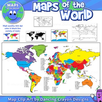
Maps of the World: Clip Art World Maps High quality color and black and white maps of the world. This clipart map set contains the following commercial use graphics: - Color maps of the world - Black and white line art maps of the world - Maps of the world with lines of latitude and without lines of latitude - Maps of the world with larger countries labelled (color and black and white) - Silhouette maps of the world - A map of the world showing seven continents in color and black and white:
Preview of Flags of the World: 2740 World Flags - All 197 countries -  Incl. Coloring Pages
Flags of the World: 2740 World Flags - All 197 countries - Incl. Coloring Pages

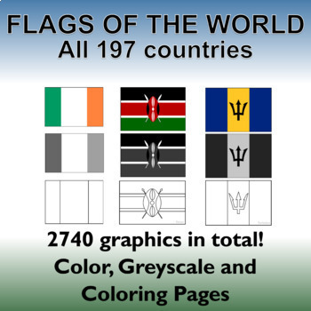
Flags of the World: All 197 countries - 2740 graphics - Clip-art Set and Bonus PDF Document. Includes 197 colored flags that are identical in dimension to allow you to create uniform, clean looking resources!This clip art set contains 197 flags from around the world in both color, gray-scale and black and white outlined coloring pages. (A total of 2740 graphics!). A PDF document with the country name and large format flag is also included for easy printing and displaying.Every world flag is her
Preview of Photos Photographs LANDFORMS clip art
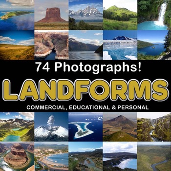
Photos Photographs LANDFORMS clip art

Created by
Z is for Zebra
Photographs - Landforms. For sale are 74 beautiful, full color, high quality 300 dpi photographs for commercial, personal and educational use. No credit required to use these images, but it is always appreciated if you do! Why use clip art when you can use images of real objects? Every single image is available for you to use commercially in every one of your products. Buy with confidence! The thumbnail images are watermarked /cropped in the preview / thumbnails but the purchased photographs wil
Preview of Seven Sacred Teachings for Social Emotional Learning Poster Set
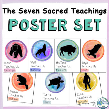
Seven Sacred Teachings for Social Emotional Learning Poster Set

This watercolor poster set for the Indigenous (Aboriginal, First Peoples, First Nations) Seven Sacred Teachings, also known as the Seven Grandfather Teachings, is an excellent way to blend Social Emotional Learning (SEL) activities and Indigenous Ways of Knowing into the classroom.What You Get:Honesty PosterLove PosterRespect PosterTruth PosterHumility PosterCourage PosterWisdom Poster*Included are two sets of the posters: One set with a filled circle, one set with an empty circle.Thank you for
Preview of United States Map Clipart | States and Capitals | US Regions
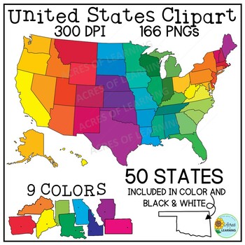
United States Map Clipart | States and Capitals | US Regions

Make creating state reports or activities that help students memorize the states and capitals easy with this set of brightly colored United States clipart! You get a total of 166 state shapes and maps of the U.S. The images can be used in so many ways! Create flashcards, map quizzes, states and capital worksheets. Use to create digital resources such as Boom Cards or Google Slide state reports. Perfect for social studies classrooms or for teaching US geography. All images come in 300 DPI PNG f
Preview of Patterned Poppies Coloring Clip Art Set Commercial and Personal Use
Patterned Poppies Coloring Clip Art Set Commercial and Personal Use

Created by
TEACHERSAVERS
Whether it's Remembrance Day, Veterans Day, Anzac Day or Memorial Day this patterned poppy clipart set is just perfect to commemorate the day. This set contains 12 PNG B/W images in 300 dpi. Great intro to your art zentangle lessons. They are large scale size, so they can be sized with clarity for your various projects. Bonus: Sampler of 3 full-color designs are included. Bonus2: PDF pages that include 1-2-4-6-8-9 per page as well as note card template ready to copy-color-cut-give. In all the
Preview of Clip Art Flags of the World Borders and Frames
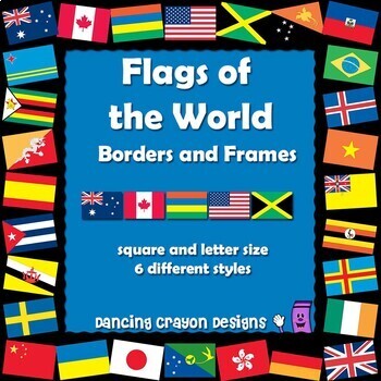
Clip Art Flags of the World Borders and Frames

Flags of the World Borders and Frames Clip Art Add an international flavor to your projects and TpT products with these 'flags of the world' borders and frames.This clip art set features world flag borders in square and letter size styles. The letter size rectangular frames are provided in both portrait and landscape orientation - so the flags will be the right way up for both. Click here for matching Flags of the World Clip Art Set with 270 world flags!Each of the three frame sizes come in th
Preview of Australia Maps Clip Art Bundle: Maps of Australia and Australian States
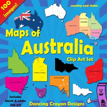
Australia Maps Clip Art Bundle: Maps of Australia and Australian States

Australia Maps Clip Art Bundle: Maps of Australia and Australian States GREAT VALUE: 80 images. This clip art bundle contains maps of Australia along with map clip art of each of the individual Australian states. This Australian maps clipart set contains the following commercial-use graphics: - Maps of Australia: Color (variety of colors) - Maps of Australia: Black and white line art The above come in a variety of styles: states with and without labels. - Maps of the world with the Austra
Preview of North America Continent Maps: Clip Art Map Set
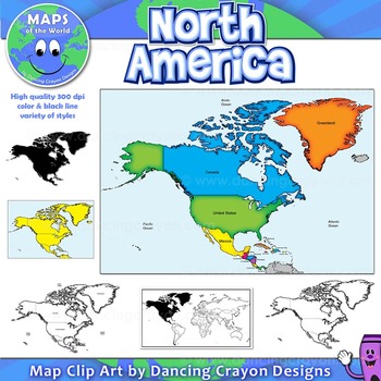
North America Continent Maps: Clip Art Map Set

North America Continent Maps: Clip Art Map Set Map Collection: North American Continent A set of clip art maps of North America. Note: These maps show the entire region of North America and do not contain individual country maps. This clipart map set contains the following commercial use graphics: - Color maps of North America - Labelled maps and blank maps - Black and white line art maps of North America - Silhouette of the North American continent - Map of the world hig
Preview of Dinosaurs Clip Art Commercial use

Dinosaurs Clip Art Commercial use

Created by
Clipartino
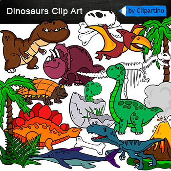
Cute Dinosaur Clip Art Commercial use/ Dino Clipart includes: fern * dino egg* volcano* Bones with skull Dinosaur* bone *dinosaur skeleton* ankylosaurus* apatosaurus* ichthyosaurus* pterodactyl* stegosaurus* triceratops* tyrannosaur* tyrannosaurus rex *tyrannosaurus rex.Download preview with free clipart inside license included!All18 png files transparent background+jpgand 17 png black-white coloring outlines files+jpgFor personal and small commercial use!!!! See more animals clipartDinosaurs of
Preview of Cute Safari animals Clip Art /African Animals /Commercial use
Cute Safari animals Clip Art /African Animals /Commercial use

Created by
Clipartino
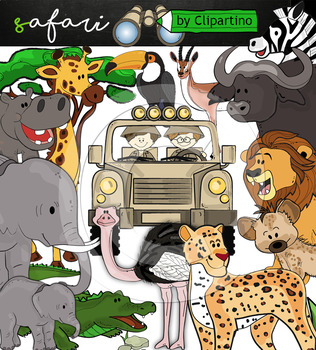
Safari clipart bundle inclides 22 png files transparent background+jpgand safari clip art 22 png+jpg black-white filessize 1 files about 6 inch 300 dpiFor personal and commercial use!!!African Animals & Savanna clipart (Animal jungle clip art)BinocularjeepJeep with boysBoyscrocodileantelopehippoelephantbaby elephantbuffaloa lionleopardhyenarhinoceroshippostonebeaktreegrassostrich!!!! See more animals clipartOcean animals clipartSafari clipartBugs clipartBirds ClipartDinosaur ClipartArctic An
Preview of Spanish Speaking Countries | Maps of the World Clip Art
Spanish Speaking Countries | Maps of the World Clip Art

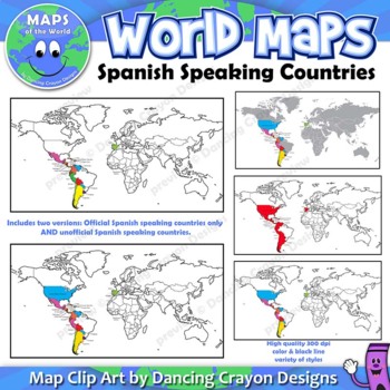
Maps of the World: Clip Art of Spanish Speaking Countries on World MapHigh quality color and black and white maps of the world with Spanish speaking countries labeled and highlighted. This clipart map set contains the following commercial use graphics:- Color maps of the world labeled with only Spanish speaking countries- Black and white line art maps of above- labeled and blank maps of above*Includes TWO versions. One showing only countries which have Spanish as an official language, and two,
Preview of World map and continents: Vintage style geography poster set (10 maps)
World map and continents: Vintage style geography poster set (10 maps)

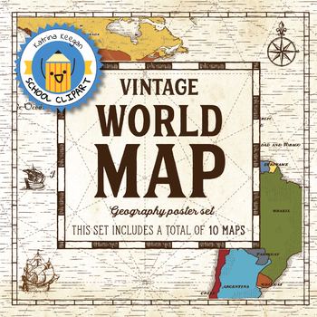
World map and continents: vintage style geography poster setThis world and continents set includes a total of 10 maps:• World• Africa• South America• Central America• North America• Europe (2)• Middle East• Asia• OceaniaMaps capture current geographical and political boundaries (as of May 2019) with vintage-style graphics and script. The world map clearly labels continents and oceans. Continent maps label all countries, oceans and include a color-coded country key.These maps are a great addition
Preview of Virginia State Symbols and Map Clipart
Virginia State Symbols and Map Clipart

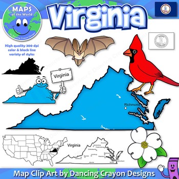
This US State clip art map and symbol set contains: - Color maps of Virginia - labelled and blank - Black and white maps - labelled and blank - State Flag (Color, black and white, waving, and country shape) - Cartoon character of the state holding a sign - Virginia Big-Eared Bat - State Bat - American Dogwood - State Flower - Cardinal - State Bird - Color and black and white clipart - Also added: map showing five geographic regions in color and black and white (not shown in previews). High qua
Preview of World Maps Clip Art: Flat World Map Set!!!
World Maps Clip Art: Flat World Map Set!!!

Created by
The 3am Teacher
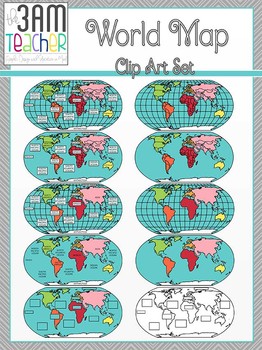
This set includes 18 beautifully detailed graphics in full color and black and white of the Western Hemisphere! Perfect for Common Core aligned lessons and resources!! This set also includes Northern Hemisphere Globes: without latitude/longitude lines Labeled and blank Country boundary lines Continent boundary lines Includes Fillable templates for student assessments!! All images are in PNG format (translucent background) 300 DPI (Perfect resolution for printing and re-sizing) Thank you for
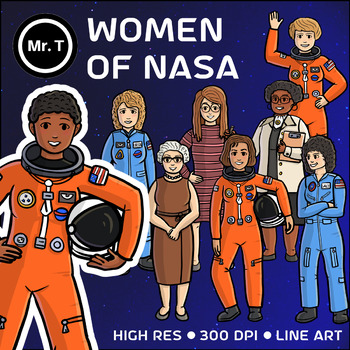
Preview of Women of NASA Clip Art (Mae Jemison, Sally Ride, ...) - Color and Line Art
Women of NASA Clip Art (Mae Jemison, Sally Ride, ...) - Color and Line Art

Created by
Mr T's Clip Art
This is an assortment of 8 Clip Art images that depict famous women of NASA. All of my Clip Art characters and items are hand drawn individually and thus unique. I am not using characters or the exact same outline of a character twice. The following images are included in this set:Christa McAuliffe - Teacher and astronaut. Died during the Space Shuttle Challenger DisasterEileen Collins - The first female pilot and female commander of a Space Shuttle Ellen Ochoa - The first Hispanic woman to go t
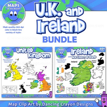
Preview of Maps of United Kingdom and Ireland (BUNDLE): Clip Art Maps
Maps of United Kingdom and Ireland (BUNDLE): Clip Art Maps

Maps of the United Kingdom and Ireland (BUNDLE): Clip Art Maps Map Collection: UK and Ireland BUNDLE This is a bundle containing two map sets: United Kingdom and Ireland. This clipart map set contains the following commercial use graphics: - Color maps of Ireland and the United Kingdom - Black and white line art maps of Ireland and the United Kingdom - Silhouettes of Ireland and the United Kingdom - Map of the world with Ireland / UK highlighted - Labelled maps and blank maps Vi
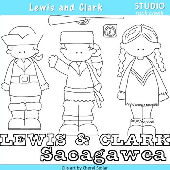
Preview of Lewis and Clark US History Line Drawings Clip Art  C. Seslar
Lewis and Clark US History Line Drawings Clip Art C. Seslar

Word art is png files. Clip art is jpeg files. Color clip art set is sold separately. Designed by Cheryl Seslar. Terms of Use This clip art set is copyright Cheryl Sesler/RaggedyScrappin.com. You are granted permission to use these designs as long as you adhere to the following terms. Personal You may use these clip art designs for any personal project that you like, be it a teaching resource or a craft. You may not sell, trade, share or redistribute the clip art files in any way. Com
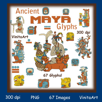
Preview of Ancient Maya glyphs, pictographs, Maya civilization clip art
Ancient Maya glyphs, pictographs, Maya civilization clip art

Created by
EduArt Creations
A large set of Mesoamerican pictographs (Maya glyphs)This set includes 67 color and 67 black and white images.All images are PNG files at a high resolution of 300dpiThis set includes 6 full images of Maya gods as well as the glyphs that represent the Maya calendar 19 days of the month, 20 days of the week and the simple dot/bar shapes that represent numbers up to the number 19.(months and days are also combined on single pages to create a simple way to print out all of the calendar images if you
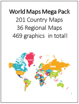
Preview of World Maps Mega Pack 201 Country Maps, 36 Regional Maps - 469 graphics in total!
World Maps Mega Pack 201 Country Maps, 36 Regional Maps - 469 graphics in total!

This clip art set contains all 201 Country Maps and 36 regional maps color. Maps are in both PDF and JPEG format. These maps are perfect for educational projects and teaching resources. This comprehensive collection is ready to print.All map files have been named for convenience.Regional Maps:1. Africa2. Africa 23. Africa Political 19934. Africa Political 19955. Africa Political 19976. Africa Political 19987. Africa Political 20008. Africa Political 20019. Africa Political 200310. Arctic Regio
Preview of Famous Figures Set #1 {Digital Clip Art} Historical People
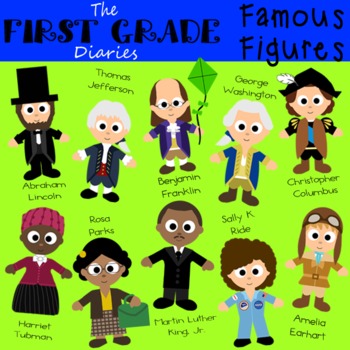
Famous Figures Set #1 {Digital Clip Art} Historical People

Digital Clip Art drawn & colored using Adobe Photoshop Elements. Images are 300 dpi and are sent in PNG format! This format provides great quality while still maintaining a transparent background to allow you to easily layer the items with other backgrounds and text! This clip art was designed to spark your creativity! Feel free to use it while scrapbooking, making party invitations, printables/games for school, etc. for personal use or for sale. I would really appreciate it if you would
Preview of Clip Art Gold Rush

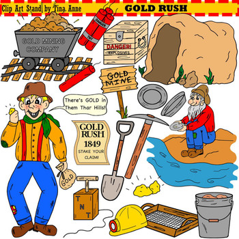
Clip Art Gold Rush

You don’t have to go to California to get gold!! You can get gold right here with this cute Gold Rush clip art set! Get these images to decorate your lesson plans and work sheets. The download includes 19 adorable clip art images of the gold rush in color for personal and commercial use. These graphics are hand drawn, scanned, and colored for a crisp clear image. All digital images are in PNG 300 dpi format with a transparent background. They work great for educational and craft purposes.
Preview of Bitmoji Virtual Classroom Icons! 9 Pages worth of copy+paste icons for you!
Bitmoji Virtual Classroom Icons! 9 Pages worth of copy+paste icons for you!

I did the hard part for you :) Here are 9 google slides full of different icons for you to use in your virtual classroom.Carpets * Chairs * Desks * Decor * Wall Art * Chalkboards & Whiteboards * Plants * Personalized Items * Wall Shelves * Book Shelves * Etc!How to access your resource after purchasing:Go to My Purchases section of your TpT account.Click View Product Page next to the resource.Once there, you can use the Add to Google Drive button underneath the price to add the resource to y
Preview of Castles Clipart

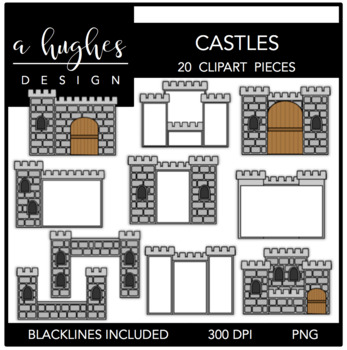
Castles Clipart

20 high quality graphics for personal and commercial use! -each image comes in png and jpeg format-ALL blacklines are includedThese castles were a request from a blog friend. Use them in your creations for fairytales, history, or just for fun. I've included 10 different castles, 5 of which contain blank space for adding your own content. All the blacklines are included. Please review my terms of use and ask all questions prior to purchasing. This can be found in the preview. If you are uns
Showing 1-24 of 495 results

Find Social Studies - History resources | TPT

Importance of learning social studies

Social studies offers valuable insights into history, geography, and much more. Social studies captivates students by providing them with perspectives from the past, present, and future, allowing them to understand history and navigate current events. It enables them to appreciate how previous generations have shaped their present reality. In essence, social studies opens their eyes to the vastness of life beyond their immediate surroundings.

Benefits of learning social studies

Learning social studies offers many benefits to students in terms of helping them develop a holistic understanding of the world. Namely, it helps them:

  • Learn about the achievements, challenges, perspectives, traditions, and customs of different societies
  • Evaluate information, analyze evidence, and make informed judgments about complex social, economic, and political issues
  • Become active, responsible, and engaged citizens
  • Comprehend global issues such as human rights, environmental sustainability, and economic disparities

By teaching social studies, teachers can help students develop critical thinking skills, foster civic engagement, and promote social awareness and responsibility.

Teaching with social studies resources

On TPT, social studies resources come in various formats, from worksheets to interactive notebooks to units. They can be used to enhance learning, assess a student’s mastery of social studies concepts, or to reteach a tricky topic. With plenty of TPT resources at your fingertips, teaching and learning social studies will be so much easier.

Discover printable and digital social studies resources

If you’re a teacher or parent looking for printable or digital social studies resources, TPT has an extensive array of instructional materials for every learning need, topic, or grade level. Whether you’re teaching students about America’s democratic process, the legacy of Dr. Martin Luther King, Jr., how to read maps, or World War II, we’ve got you covered.

Social studies resources on TPT offer informative lessons, engaging texts, intriguing facts, interactive puzzles, and enjoyable trivia games. These grade-specific resources ensure that all students can access age-appropriate materials that stimulate their minds and enhance their creative thinking abilities.

For instance, first graders can explore worksheets on senses and emotions, followed by a coloring page featuring Harriet Tubman. Older students can test their knowledge with quizzes on statistics and capital cities, then delve into the history of the Underground Railroad through an informational sheet or enjoy a word search focused on civil rights leaders. With such a wide variety of subjects and topics covered, our social studies pages provide endless opportunities for students to explore the world in captivating ways.

Frequently asked questions about teaching social studies

What types of social studies lessons are available on TPT?

There are many different types of history resources sold by Sellers on TPT. Some popular social studies lessons include U.S. history, world history, ancient history, geography, civics, and government.

How do I find social studies lessons on TPT?

Educators can save time preparing history lessons with resources created by experienced teachers. Simply start a search for social studies resources on the TPT marketplace, and filter by grade level, price, and/or resource type to find materials that've been proven to work in classrooms like yours. No matter what you’re teaching, there are plenty of social studies lessons and activities sold by Sellers on TPT that are tailored to meet your students' skill levels.