356 results
3rd grade Martin Luther King Day geography word walls
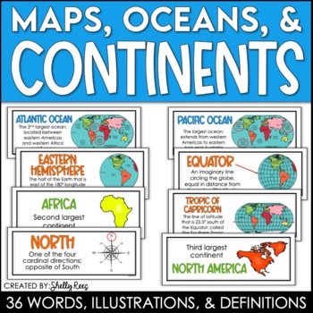
Continents and Oceans Maps and Posters | Geography and Maps Word Wall
Continents and Oceans and Map Skills can be fun to teach, especially when you have this great set of word wall cards. Each card includes the word, definition, and a clear, colorful illustration. Make a great bulletin board in just minutes!Click HERE to save 20% with the Continents, Oceans, and Map Skills BUNDLE!Please click on the PREVIEW above to get a clear picture of everything included.PERFECT for visually reinforcing landform vocabulary!This helpful continents, oceans, and maps word wall se
Grades:
2nd - 8th
Also included in: Maps, Continents and Oceans, Landforms, and Map Skills Bundle
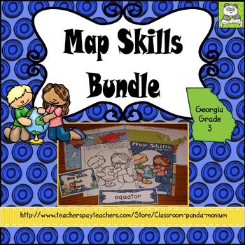
Map Skills Georgia Grade 3 (Task Cards Included) Meets New GSE's
This bundle is ideal for Georgia third grade teachers teaching US Rivers (St. Lawrence, Hudson, Ohio, Mississippi, Rio Grande, and Colorado), US Mountain Ranges (Rocky Mountains and Appalachian Mountains), Equator, Prime Meridian, and Lines of Latitude and Longitude. The set addresses all the Map Skills standards for third grade social studies GSE's SS3G1-SS3G2.Click Here to Save 30%!Topics include:Major Rivers-Mississippi, Ohio, Rio Grande, Colorado, St. Lawrence, and HudsonMountain Ranges-Rock
Subjects:
Grades:
3rd
Types:
Also included in: Georgia Third Grade Social Studies BIG Bundle (Meets New GSE's)
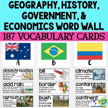
Social Studies Word Wall Vocabulary Cards, Bulletin Board Idea
This product is a word wall to help teach important social studies vocabulary words to students. It can also be used as a social studies bulletin board!The specific regions included are Europe, Australia, Latin America and the Caribbean, and Canada. However, the domains include geography, government, economy, and history, so this resource can be used in most social studies classrooms. Also, many terms are not specific to these regions and can be applied broadly.Each word card includes the vocabu
Grades:
3rd - 11th
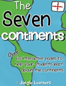
The Seven Continents
Did you know that all the continents end with the same letter they start with!?EuropeAntarcticaAfricaAustraliaNorth AmericaSouth AmericaAsiaDid you know that The Statue of Liberty in the United States has 7 rays on her crown which represent the 7 continents!?This pack is full of fun facts and ways to help your students learn about the seven continents in an interactive way!----------------------------------------------------------------------------------------------This pack has over 60 pages to
Subjects:
Grades:
K - 3rd
Types:
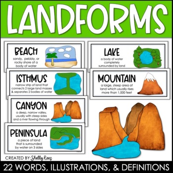
Landforms and Bodies of Water Posters and Word Wall
Landforms and bodies of water can be fun and easy to teach, especially when you have this beautiful set of word wall cards. Each card includes the word, definition, and a clear, colorful illustration. EASILY make an amazing landforms wall display in minutes!Click HERE to save 20% with the Continents, Oceans, Maps, and Landforms BUNDLE!Please click on the PREVIEW above to get a clear picture of everything included.This complete landform word wall set includes 22 vocabulary posters:basinbaybeachca
Grades:
3rd - 6th
Also included in: Maps, Continents and Oceans, Landforms, and Map Skills Bundle
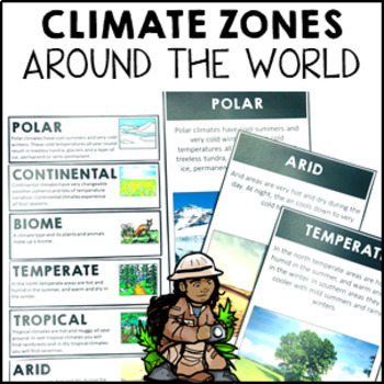
Climate Zones Maps Vocabulary Cards and Posters
These climate vocabulary cards and posters will help your students to understand what the major climate zones in the world are. They came with 4 options: vocabulary cards for your word wall (with image and definition), large poster with image, large poster with real photograph and large poster you can turn into either a student workbook piece or colour and decorate for the classroom wall.Note: if you are looking for the simplified Australian climate zones please look at this resource Climate Zon
Subjects:
Grades:
2nd - 4th
Types:
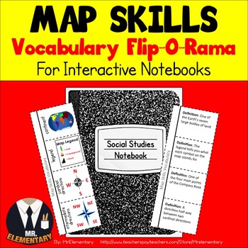
Map Skills Vocabulary Interactive Notebook
Map Skills Vocabulary Flip-O-Rama for Interactive Notebooks! Have students cut these Map Skills flippers out, glue them in their notebooks and they’re ready to learn! These Map Skills Flippers are a great way to teach and organize map skills vocabulary whether whole group, in centers, or individually. They have a map skills picture on the front and room for students to write the definition on the back.
This product is also available in Spanish: Spanish Map Skills Flip-O-Rama
This Map Skills
Grades:
3rd - 6th
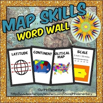
Maps Skills Vocabulary Word Wall Posters
Map Skills Word Wall! This is a set of 24 map skills vocabulary terms with pictures to post in your classroom on a map skills word wall or bulletin board. I’ve found that having the pictures alongside the words on my word wall has been especially helpful for my ELL students.
As you can see in the thumbnails, these print out on a regular 8 ½ by 11 sheet of paper. There are 2 map skills terms with a picture representing them on each page. You just need to cut them in half and they’re ready t
Subjects:
Grades:
2nd - 5th
Types:
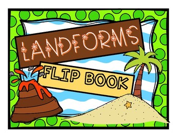
Landforms Flip Book
This flip book demonstrates a variety of landforms and also illustrates their altitudes. This purchase includes a black and white mini version for interactive science journals and an 8” X 11” black and white version as well. The landforms included are the following:
-Volcano
-Canyon
-Mountains
-Valley
-River
-Cave
-Hills
-Plain
-Ocean
-Island
This resource is also available in Spanish.
Subjects:
Grades:
K - 5th
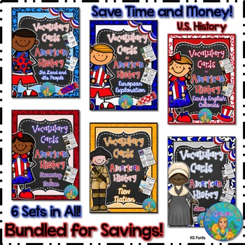
Bundled for Savings Illustrated American History Vocabulary Cards
All 6 sets of my illustrated vocabulary cards are included in this huge bundle! These illustrated vocabulary cards with definitions are designed for upper elementary social studies. However, they may be used with any curriculum that would benefit from visual representations and explanations of key terms related to United States early history or geography. All the cards shown on the thumbnails are included.
197 vocabulary words (with illustrations and definitions) in this set include:
(Unit #
Subjects:
Grades:
3rd - 8th
Types:
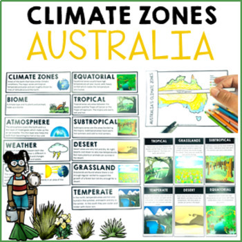
Climate Zones Australia Maps Vocabulary Cards and Posters
These climate vocabulary cards and posters will help your students to understand what the major climate zones in Australia are. They come with three options: vocabulary cards for your word wall (with images and student-friendly definitions), large posters with images, and large posters you can turn into either a student workbook piece or colour and decorate for the classroom wall.Looking for world climate zones? Click here for my World Climate Zones pack.SAVE 30% by buying ALL of my other Austra
Subjects:
Grades:
2nd - 4th
Types:
Also included in: Australia Bundle Maps Geography
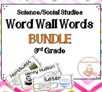
BUNDLE - SCIENCE AND SOCIAL STUDIES WORD WALL | FULL YEAR | THIRD GRADE
Need word wall vocabulary words for science AND social studies? Save money and get two matching sets with this BUNDLE!
This bundle includes the word wall sets from my SCIENCE Word Wall and SOCIAL STUDIES Word Wall products.
This packet includes OVER 120 science AND social studies vocabulary words based on GSE standards for THIRD GRADE! This product is designed to make your content vocabulary wall POP with a beautiful, bright watercolor background. Setting up your content vocabulary wall just
Subjects:
Grades:
3rd
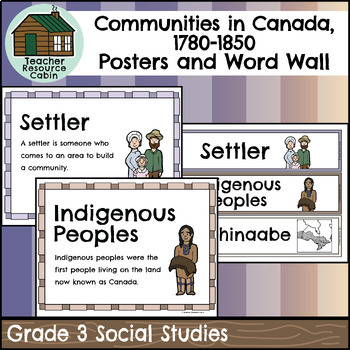
Communities in Canada, 1780-1850 Word Wall and Posters (Grade 3 Social Studies)
These posters include all key vocabulary for the Communities in Canada, 1780-1850 unit in the Grade 3 Ontario Social Studies curriculum (2023). Posters are 8.5" x 11" size and are available as colour and black & white copies (perfect for colouring!). A set of Word Wall words is also included. Three Word Wall words fit on an 8.5" x 11" size paper for easy printing and are also available as colour and black & white copies.We recommend printing these posters on cardstock to create a bulleti
Subjects:
Grades:
3rd
Types:
Also included in: MEGA BUNDLE: Grade 3 Ontario Social Studies Full Units
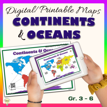
Continents and Oceans World Maps Poster Digital & Printable Handouts+ Boom Cards
"Continents and Oceans" is a set of digital and printable world maps and the individual continent maps: Europe, Asia, Africa, Australia, North America, South America, and Antarctica maps. It is perfect for traditional classroom settings, 1:1 schools, or distance learning in your Science and/ or Social Studies classrooms. These diverse maps are an excellent way to supplement your existing Science and/ or Social Studies curriculum. In no way it is intended or designed to replace it. It is about gi
Subjects:
Grades:
1st - 12th
Types:
Also included in: Social Studies United States Geography US History Growing BUNDLE
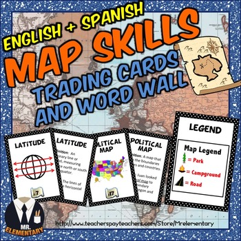
Map Skills Trading Card Activities and Word Wall Posters
Map Skills Vocabulary Trading Cards + Posters! These are a FUN, EFFECTIVE way to study map skills whether whole group, in centers or individually. I’ve included a blank set of the Map Skills Trading Cards for students to draw their own map skills pictures and come up with their own definitions and examples of the map skills vocabulary.
Product Languages:
English + Spanish (A Spanish Map Skills version is now included for FREE)
This Map Skills Vocabulary Set Includes:
• 24 Map Skills Trading
Subjects:
Grades:
2nd - 5th
Also included in: Geography Vocabulary Bundle
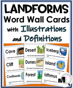
Landforms and Bodies of Water Word Wall
This updated resource contains 39 Word Wall Cards on 13 pages.~ The terms have a corresponding picture and definition on each card.~ The original landforms terms included are: archipelago, beach, canyon, cave, cliff, continents, desert, dunes, forest, glacier, grassland, hills, iceberg, island, isthmus, lake, mountain, ocean, peninsula, plain, plateau, pond, rainforest, river, valley, volcano, and waterfall.The new words added are: bay, butte, canal, delta, gorge, gulf, mesa, oasis, prairie, sav
Subjects:
Grades:
1st - 5th
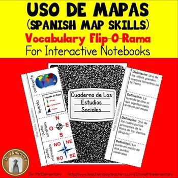
Spanish Map Skills Vocabulary Interactive Notebook
Spanish Map Skills Vocabulary Flip-O-Rama for Interactive Notebooks! Have students cut these Spanish Map Skills flippers out, glue them in their notebooks and they’re ready to learn! These Map Skills Flippers are a great way to teach and organize map skills vocabulary whether whole group, in centers, or individually. They have a map skills picture on the front and room for students to write the definition on the back.
Get this product in English here
This Spanish Map Skills Vocabulary Set In
Subjects:
Grades:
3rd - 6th
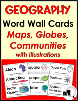
Geography Word Wall / World Geography Vocabulary
Social Studies Word Wall - Continents, Oceans, Maps, Globes & Communities with Illustrations & brief Descriptions includes 71 Vocabulary Cards.~ This updated geography word wall can be used on a word wall, pocket chart, bulletin board, etc. Some of the illustrations are in color and others are in black and white. There are 3 geography cards on each page. The size of each card is approximately 3 ¼” x 8 ½ “.The original 59 words included are: Africa, Antarctica, Arctic Ocean, Asia, Atlan
Grades:
3rd - 6th
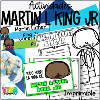
Martin Luther King Jr | MLK JR Spanish Biography and Activities
¿Quieres que tus estudiantes conozcan sobre la vida de Martin Luther King Jr? Este recurso es ideal para que tus estudiantes de k-3. El Dr. Martin Luther King Jr fue un activista conocido por su lucha contra el racismo en los Estados Unidos, recibió premio nobel y realizó varias marchas en compañía de su esposa Coretta; con estas actividades podrás conocer acerca de su vida y escribir sobre ella y los sueños que tienen los estudiantes como los tenía este personaje.Incluye:10 Flashcards de lectu
Grades:
K - 3rd
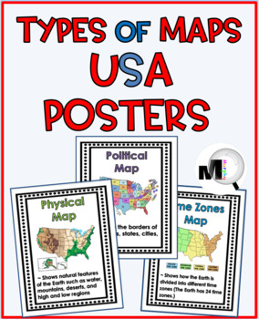
Types of Maps Posters Map Skills
This USA map resource includes 19 geography (map skills) posters in color and grayscale.POSTERS:1 map (introduction poster)13 specific types of maps 5 map terms The specific maps are:PhysicalPoliticalResource - (2 versions)BiomesClimate Zones - (2 versions)Weather - (2 versions)Time Zones - (2 versions)RoadPopulationPrecipitationRegionsHistoricalTopographicThe map terms are:Contour ElevationLegend/KeyScaleCompass RoseCardinal DirectionsThe posters print 8 1/2" x 11" but you can set your printer
Grades:
3rd - 6th
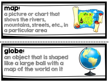
Geography Vocabulary Words 3rd grade NYC Passport to Social Studies Unit 1
This product comes with the 33 vocabulary from the NYC Passport to Social Studies Geography unit for 3rd grade. It can be used with any curriculum.Words included (with definitions and pictures):geographygeographermap globeanthropologist adaptcompass rosecontinentculture conserveflood zonehuman settlementlatitudelongitudelegend lowlandlake oceanpeak political maprelief map rivervalley wetlandelevationhemisphereclimate coordinatesmap keycardinal directionsgeographic featuresnatural resourcesterrai
Subjects:
Grades:
2nd - 5th
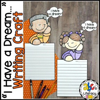
"I Have A Dream..." Writing Craft
This “I Have A Dream…” Writing Craft is a creative writing activity to celebrate Martin Luther King Jr. Day. Your students can write all about Martin Luther King Jr. or share a dream that they have to make their school, community, or world a better place.What's Included:✎ “I Have A Dream…” Word Web✎ 5 Writing Paper Templates (with different lines)✎ Martin Luther King Jr. Page Topper✎ 8 Children Page Toppers (4 boys and 4 girls)✎ 15 Word Wall Words ✎ WE HAVE A DREAM! Bulletin Board Letters (in 2
Grades:
1st - 3rd
CCSS:
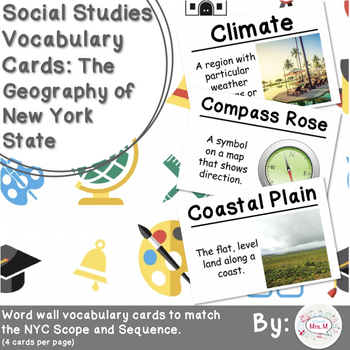
4th Grade Social Studies Vocabulary Cards: New York's Geography
This packet contains 24 vocabulary cards with definitions and pictures addressing the fourth grade NYC Social Studies Scope and Sequence Unit 1: New York’s Land and First People. This set is the same as the other file but with smaller cards, usually for a word wall.Words Included:BorderBoundary Climate CompareCompass RoseContinentContrast Coastal Plain EnvironmentGeography GlacierHemisphere LandformLegend Map ScaleNavigate Physical Features PlateauPolitical Features RegionSettleTopography Vegeta
Subjects:
Grades:
3rd - 5th
Types:
Also included in: 4th Grade Social Studies Vocabulary Cards: All Year BUNDLE
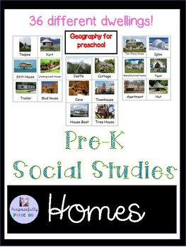
Pre-K Social Studies types of homes
These cards will help your early learners to describe characteristics of different types of dwellings. This is GEOGRAPHY! Preschool gives children their first sense of community outside the home. Social-studies learning begins as children make friends and participate in decision-making in the classroom. Then it moves beyond the school into the neighborhood and around the world. There are 36 different types of homes! Pa Early learning standardsGeographyBig Idea: Location can be represented using
Grades:
PreK - 3rd
Types:
Also included in: Pre-K Social Studies Bundle
Showing 1-24 of 356 results


