2,947 results
Middle school Winter geography posters
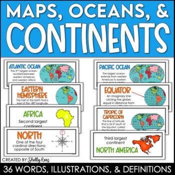
Continents and Oceans Maps and Posters | Geography and Maps Word Wall
Continents and Oceans and Map Skills can be fun to teach, especially when you have this great set of word wall cards. Each card includes the word, definition, and a clear, colorful illustration. Make a great bulletin board in just minutes!Click HERE to save 20% with the Continents, Oceans, and Map Skills BUNDLE!Please click on the PREVIEW above to get a clear picture of everything included.PERFECT for visually reinforcing landform vocabulary!This helpful continents, oceans, and maps word wall se
Grades:
2nd - 8th
Also included in: Maps, Continents and Oceans, Landforms, and Map Skills Bundle
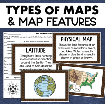
Types of Maps Map Features Skills Geography Posters Social Studies Assessment
Students will learn about different types of maps and common map features with this social studies resource. It includes 17 visuals/posters plus a worksheet/assessment.MAPS POSTERSThese can be kept together as a single page or cut apart into separate cards for display or a matching activity. The top of each card has the title and definition, and the bottom has a full-color illustration. WORKSHEETThis activity requires students to match the types of maps to their purpose, know the function of var
Subjects:
Grades:
3rd - 6th
Types:
Also included in: Geography Landforms & Bodies of Water Types of Maps Map Elements Posters
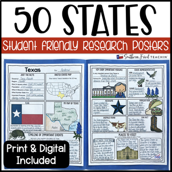
State (United States) Research Project Posters - Printable & Digital
States Research Project Posters are a fun and simple way for your students to research the states. These project posters are student friendly and help guide your students in what exactly to research. These posters are perfect for students to display their state research! And they look fabulous on a bulletin board or hallway display!This is part of my HUGE GROWING BUNDLE OF RESEARCH PROJECT POSTERS. This is includes ALL of my research project posters. Your students could become research experts a
Grades:
3rd - 8th
Types:
Also included in: GROWING BUNDLE Research Project Posters
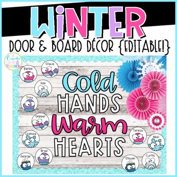
Winter Bulletin Board and Door Decor - Editable
This *editable* Winter decor set will make a warm & inviting display for your classroom door or bulletin board! Easily add names to the winter pieces by typing in the provided text boxes. Choose your title and print on colored paper. (Laminate for durability.) Mini title posters also included for small spaces!!**You will need a PDF editor such as Adobe to type. If you do not, you will still be able to print & write!Included:*10 pages of editable winter labels (3 per page, 6 designs:
Grades:
PreK - 6th
Types:
Also included in: Door & Board Decor BUNDLE
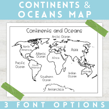
World Map Continents and Oceans | Black and White | Coloring Sheet
Enhance your minimalist classroom with these Black and White World Map with labeled Continents and Oceans!These black and white world map features each of the 7 continents and 5 oceans accurately labeled. These maps are great to print out, laminate, and hang up in a minimalist or neutral classroom. These maps are also great to print out and make copies for students to color! Please feel free to make copies of this resource for your students, or for your own kiddos.Updated 5/29/2024: There are no
Grades:
PreK - 9th
Types:
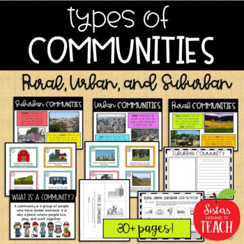
Types of Communities │Rural, Urban, & Suburban
This is the perfect bundle to use when teaching your students about the different types of communities (rural, suburban, and urban)! Your students will enjoy these hands on activities and task cards, which are great to use in centers. Posters are also provided for your students to refer to. Included in this bundle:-"What is a Community" Poster-Rural Communities Poster-Urban Communities Poster-Suburban Communities Poster-Rural, Urban, and Suburban Picture Cards (1 page each, 4 images to a page)-R
Subjects:
Grades:
K - 6th
Types:
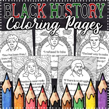
Black History Coloring Pages | Black History Month Activities
These Black History Month Coloring Pages are perfect for encouraging a growth mindset and providing students with time to express themselves creatively. Each poster contains designs perfect for therapeutic coloring and black history quotes that inspire and motivate.These posters are great for reflecting on the lives and impact of important figures in black history. Each poster contains an image and the name of the figure, along with a quote. Two lined pages for writing are included, which may
Subjects:
Grades:
3rd - 8th
Types:
Also included in: HUGE Coloring Pages Growing Bundle
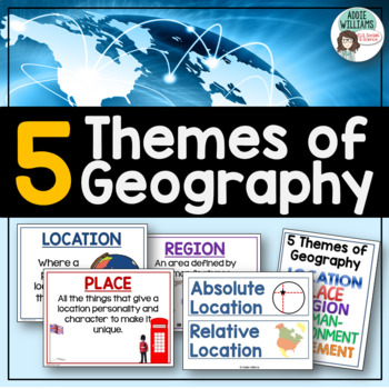
Five Themes of Geography Posters and Word Wall
Five Themes of Geography Poster and Word Wall Set - includes 16 posters and 16 word wall strips! One poster and word wall strip for each of the five themes and their sub-topics! Great way to help students remember and learn to apply the Five Themes!Location - Absolute and RelativePlace - Human and PhysicalRegion - Formal, Functional, and VernacularHuman Environment Interaction - Adapt, Depend, and InteractMovement Also, check out FREE Five Themes of Geography ProjectAddie Williams
Subjects:
Grades:
6th - 10th
Types:
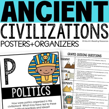
Ancient Civilizations GRAPES Posters Ancient Greece Ancient Rome Ancient China
Help your students learn and organize info about ancient civilizations with these G.R.A.P.E.S. posters, guiding questions, and graphic organizers! The GRAPES Ancient Civilizations Poster and Graphic Organizer Set is an easy acronym to organize information for the basic traits of ancient civilizations. G.R.A.P.E.S. is an acronym for:G- GeographyR- ReligionA- AchievementsP- PoliticsE- EconomicsS- Social StructureGRAPES is an effective way to learn and organize information about different civilizat
Grades:
6th - 8th
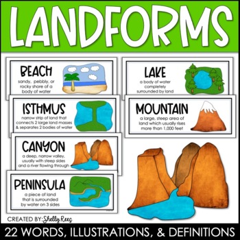
Landforms and Bodies of Water Posters and Word Wall
Landforms and bodies of water can be fun and easy to teach, especially when you have this beautiful set of word wall cards. Each card includes the word, definition, and a clear, colorful illustration. EASILY make an amazing landforms wall display in minutes!Click HERE to save 20% with the Continents, Oceans, Maps, and Landforms BUNDLE!Please click on the PREVIEW above to get a clear picture of everything included.This complete landform word wall set includes 22 vocabulary posters:basinbaybeachca
Grades:
3rd - 6th
Also included in: Maps, Continents and Oceans, Landforms, and Map Skills Bundle
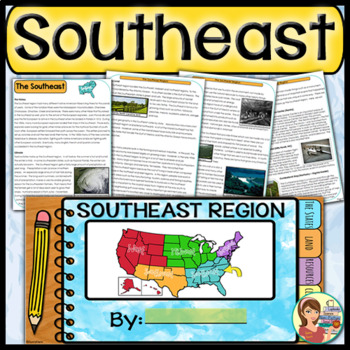
US Regions: Southeast Region (Print and Digital)
This is a comprehensive resource that explores the twelve states in the Southeastern region. A non-fiction informational text packet covers the region’s history, climate, land, economy, natural resources and landmarks. Several other items are included in this resource as well. Please see below for more details. UPDATE: Mississippi's new flag has been added to the poster.★ ★ ★ BUNDLE ALERT! DO NOT MISS THE SAVINGS! ★ ★ ★SAVE 20% OFF individual unit prices when you purchase the Five Regions of
Grades:
4th - 6th
Types:
Also included in: 5 Regions of the United States BUNDLE (Print and Digital)
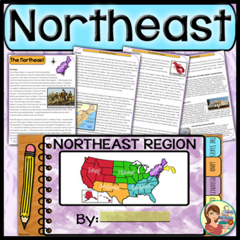
US Regions: Northeast Region (Print and Digital)
This comprehensive resource explores the eleven states in the Northeastern region. A non-fiction informational text packet covers the region’s history, climate, land, economy, natural resources and landmarks. Several other items are included in this resource as well. Please see below for more details.UPDATE: This resource now includes GOOGLE SLIDE versions for the student worksheets, booklet and the PowerPoint presentation.★ ★ ★ BUNDLE ALERT! DO NOT MISS THE SAVINGS! ★ ★ ★SAVE 20% OFF individ
Grades:
4th - 6th
Types:
Also included in: 5 Regions of the United States BUNDLE (Print and Digital)
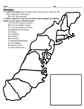
13 Colonies Map Project (8.5x11)
This project has three different differentiated levels for different levels of students, or to have them work up to... This project is set-up to print on 8.5x11 sheets of paper. In the first tier (the easiest), the students are given a map of the thirteen colonies and have to label each colony and then color the Northern/North Eastern Colonies, the Middle Colonies and the Southern Colonies different colors in a map key they create. In the second tier (medium difficulty), the students have to la
Subjects:
Grades:
3rd - 12th
Types:
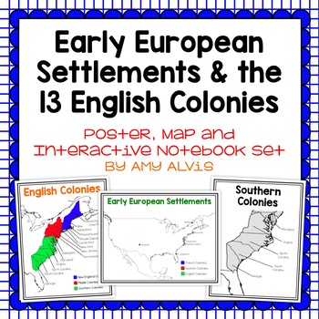
Early European Settlements & 13 English Colonies Poster and INB
This poster, map and interactive notebook INB set covers covers the early American settlements of Santa Fe, St. Augustine, Roanoke Island, Jamestown, Plymouth and Quebec as well as the original 13 colonies.You will get the following:pg. 3: Poster of Early European Settlements (Santa Fe, St. Augustine, Roanoke Island, Jamestown, Plymouth, and Quebec)pg. 4: Map of Early European Settlements where students can map where each settlement was.pg. 5-12: Posters of 13 Coloniespg. 13: Map page for stud
Grades:
5th - 9th
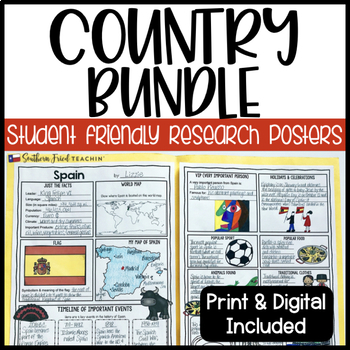
Country Research Project Posters BUNDLE - Printable & Digital
Country Research Project Posters are a fun and simple way for your students to research countries around the world. These project posters are student friendly and help guide your students in what exactly to research. These posters are perfect for students to display their research! And they look fabulous on a bulletin board or hallway display!As of now I have THREE sets of countries included in this bundle, but I am hoping to include more in the future. When I add more countries, the price will
Grades:
3rd - 6th
Types:
![Preview of Gingerbread Man Winter Bulletin Board Craft - [EDITABLE]](https://ecdn.teacherspayteachers.com/thumbitem/Gingerbread-Man-Winter-Bulletin-Board-Craft-EDITABLE--8259115-1700212396/original-8259115-1.jpg)
Gingerbread Man Winter Bulletin Board Craft - [EDITABLE]
Spice up your winter with this Gingerbread Man Winter bulletin board for your classroom, door, or hallway!! The gingerbread men are EDITABLE to add your student's names. Student's love finding their name on bulletin boards! All you have to do is choose your phrase, print on your choice of colored paper, and assemble your board!Phrases included in this product:We are Smart CookiesOh Snap!Happy HolidaysMerry ChristmasGingerbread Kisses & Christmas WishesGingerbread Kisses & Holiday Wish
Grades:
PreK - 6th
US Regions Doodle Notes Bundle - Social Studies
This regions of the United States bundle contains five complete units for the U.S. regions. A non-fiction informational text packet covers each region’s history, climate, land, economy, natural resources and landmarks. Fun Doodle Notes, vibrant posters and PowerPoints are included too! Please see below for more details. (Click here for an ONLINE 5 Regions resource)This resource includes:★ Introductory PowerPoint Presentations – Introduce each region to your students using colorful yet cleanly d
Grades:
4th - 6th
Types:
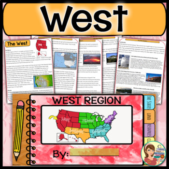
US Regions: West Region (Print and Digital)
This is a comprehensive resource that explores the eleven states in the Western region. A non-fiction informational text packet covers the region’s history, climate, land, economy, natural resources and landmarks. Several other items are included in this resource as well. Please see below for more details. UPDATE: This resource now includes GOOGLE SLIDE versions for the student worksheets, booklet and the PowerPoint presentation.★ ★ ★ BUNDLE ALERT! DO NOT MISS THE SAVINGS! ★ ★ ★SAVE 20% OFF in
Grades:
4th - 6th
Types:
Also included in: 5 Regions of the United States BUNDLE (Print and Digital)
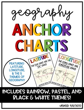
Latitude & Longitude + 5 Themes of Geography Anchor Charts
Latitude and Longitude are tricky concepts to teach! I print mini copies of these out for my students to place in their interactive notebooks and I have large copies hanging in my classroom as a reference guide. I have also included my 5 Themes of Teography reference charts as well.
Grades:
4th - 12th
Winter Bulletin Board Lettering and Borders
Create an inviting and warm classroom environment for your students. This bulletin board pack includes all the lettering and accents to create bulletin boards or decorated doors in your classroom. Use the alphabet to say whatever you want on the boards you are decorating for the winter season. This pack includes the following:7 inch cut out uppercase and lowercase alphabet letters in 4 coordinating patterns 2 printable bordersLarge and small pennant banner options*This also includes the image fi
Subjects:
Grades:
PreK - 8th, Staff
Types:
Also included in: Bulletin Board Lettering and Classroom Decor Bundle - Holidays
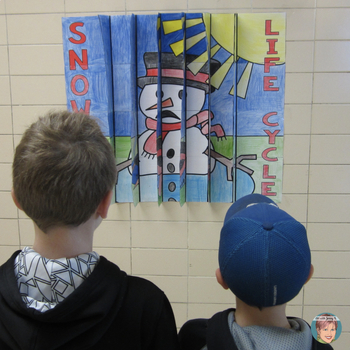
Snowman Life Cycle 3D Agamograph Winter Craft Activity & States of Matter Fun!
Snowman Life Cycle 3-Way Agamograph Collaboration Poster – great for teaching states of matter, water cycle, life cycles, and for any snowman or winter activity with your students! This project is a “3-way” agamograph (3 images spliced together) and a collaboration poster all mixed into one. It is approximately 26 inches x 28 inches when complete. Throughout the three “images,” you will see that I’ve included the life cycle of a snowman to assist your teaching of states of matter in a fun way f
Subjects:
Grades:
K - 7th
Types:
World Maps Continent and Ocean Maps ESL ELL Newcomer
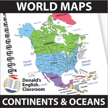
Elevate your classroom with these vibrant and user-friendly World Maps, designed to captivate and inspire your students on their journey to mastering map skills! Boasting a spectrum of colors and clear readability, these 22 maps come both with and without name labels, providing versatility for various teaching approaches. Also included are black-and-white outlined versions, allowing your students to add their personal touch by coloring and labeling. A perfect blend of educational and creative e
Subjects:
Grades:
6th - 9th
Also included in: ESL High School Adult Giga Bundle Black and White ESL ELL Newcomer
US Regions: Southwest Region (Print and Digital)
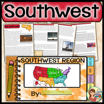
This is a comprehensive resource that explores the four states in the Southwestern region. A non-fiction informational text packet covers the region’s history, climate, land, economy, natural resources and landmarks. Several other items are included in this resource as well. Please see below for more details. UPDATE: This resource now includes GOOGLE SLIDE versions for the worksheets, booklet and presentation.★ ★ ★ BUNDLE ALERT! DO NOT MISS THE SAVINGS! ★ ★ ★SAVE 20% OFF individual unit price
Grades:
4th - 6th
Types:
Also included in: 5 Regions of the United States BUNDLE (Print and Digital)
Geography Landforms & Bodies of Water Types of Maps Map Elements Posters
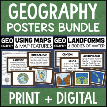
This maps and landforms bundle includes two sets of visual aids for teaching geography along with worksheets and topic assessments.INCLUDES:MAPS AND MAP FEATURESThis resource helps students learn about the different types of maps and common map features. It includes 17 visuals/posters plus a worksheet/assessment.POSTERS - These can be kept together as a single page or cut apart into separate cards for display or a matching activity. The top of each card has the title and definition, and the bott
Grades:
4th - 7th
Types:
Showing 1-24 of 2,947 results


