32 results
2nd grade geography tools for common cores for Easel Assessments
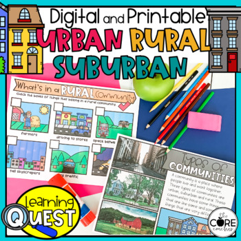
Types of Communities - Urban, Suburban, Rural Communities
These digital Types of Communities activities are easy to use as traditional classroom lesson plans, centers, homework, independent work, or they’re great for fast finishers in first and second grades. Busy teachers love these low-prep lessons and activities that are sure to engage their students! With print & digital options, Learning Quests provide a balance of face to face and device-based learning styles for your modern classroom.Why do teachers and students love our Learning Quests?We a
Subjects:
Grades:
1st - 2nd
Types:
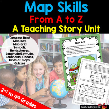
Map skills Unit Print and Digital
Energize your map unit with this high interest map and globes teaching unit for 2nd, 3rd or 4th grade students! You get everything you need for your Maps and Globes study with this fun resource, including a three page "hook" story about a lost alien.If you are a busy teacher (HA! of COURSE you are!) this unit is a real time saver!Everything you need is in one placeCovers most curriculum concepts for any state, or country's needsSpirals from beginning concepts to more complexActivities can be
Subjects:
Grades:
2nd - 4th
Types:
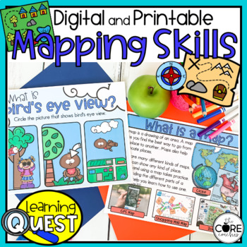
Map Skills Activities - Print & Digital Map Skills Lessons
These digital Mapping Skills activities are easy to use as traditional classroom lesson plans, centers, homework, independent work, or they’re great for fast finishers in first and second grades. Busy teachers love these low-prep lessons and activities that are sure to engage their students! With print & digital options, Learning Quests provide a balance of face to face and device-based learning styles for your modern classroom.Why do teachers and students love our Learning Quests?We all kno
Subjects:
Grades:
1st - 2nd
Types:
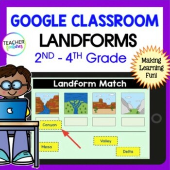
LANDFORMS & BODIES OF WATER 3rd 4th GRADE Google Slides EASEL Geography Activity
Students stay highly engaged as they learn to identify 24 landforms, bodies of water & define geography vocabulary using Google Slides. Each page includes a photo of the landform or body of water along with the title & description in simple, clear language. This resource also allows you to assess skills with a multiple-choice landform quiz. Use these Landform and Bodies of Water Google Slides to add fun to your social studies lessons now! Landforms: Archipelago, Bay, Butte, Canyon, Cav
Grades:
2nd - 4th
Types:
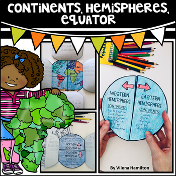
Continents. Hemispheres. Equator. Reading Passage & Foldable.
Reading Passage + Foldable to help your students memorize the continents and understand hemispheres in a simple and not so boring way. Here is what's included:- 2-Page Reading Passage about continents, hemispheres, & equator with 10 comprehension questions;- Foldable Templates;- Answer Keys for everything.You might also like:Maps. Map Skills. Compass Rose. Distance Scale. Map Key. Map Grid.Family Tree Project. Digital & Printable3 Branches of Government Mini Interactive Lapbook. Digital
Grades:
2nd - 3rd
Also included in: Geography Bundle
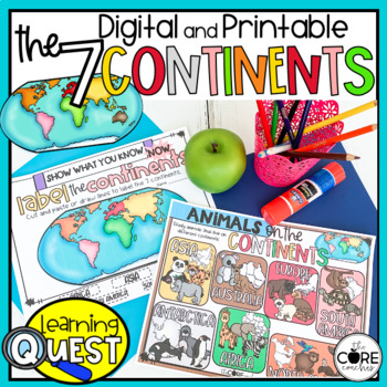
7 Continents Activities - Print & Digital Continent Lessons
These digital Seven Continents activities are easy to use as traditional classroom lesson plans, centers, homework, independent work, or they’re great for fast finishers in first and second grades. Busy teachers love these low-prep lessons and activities that are sure to engage their students! With print & digital options, Learning Quests provide a balance of face to face and device-based learning styles for your modern classroom.Why do teachers and students love our Learning Quests?We all k
Subjects:
Grades:
1st - 2nd
Types:
Continents and Oceans Geography Interactive PowerPoint and Mini Book with Easel
Continents and Oceans PowerPoint. Useful for studying the seven continents of the Earth and the five oceans in your geography or Social Studies classes. Includes examples of some major features of each continent of the world and some animals that are unique to each. Students will also see a visual about the equator and the hemispheres of the planet. Great supplemental activity for Earth Day, too. Has l interactive review slides and a printable for students to follow along. There are two Easel As
Subjects:
Grades:
1st - 4th
CCSS:
Also included in: Earth Day Activities Bundle
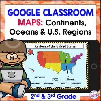
Map Skills US REGIONS CONTINENTS & OCEANS Google Slides & EASEL
Review map skills, 7 continents, identify world oceans & U.S. Regions: Northeast, Southeast, Midwest, Southwest & West using Google Slides. Interactive activities are great for all levels of learning. Use this with your smart board or for individual devices. Includes an Easel Activity! (33 Google Slides, 21 EASEL pages & 60 EASEL Questions)The Google Slide Access link contains 33 slides and 60 Question Easel Assessment:- Continent slides: with labels, without labels & drag the l
Grades:
2nd - 4th
Types:
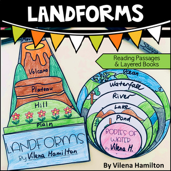
Landforms and Bodies of Water
Make learning about geography engaging and fun for your young learners!Your students will have an opportunity to read about the landforms and bodies of water first, answer some comprehension questions and then construct 2 layered books with the definitions for each landform/body of water. Here is what’s included:- 2 Reading Passages: Landforms and Bodies of Water- Comprehension Questions- Templates - Detailed Instructions- Answer Keys for everything You might also like:Continents. Hemispheres. E
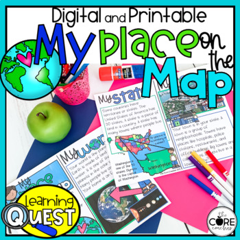
My Place on the Map - Me on the Map - Mapping Skills- Print and Digital
These digital My Place on the Map activities are easy to use as traditional classroom lesson plans, centers, homework, independent work, or they’re great for fast finishers in first and second grades. Busy teachers love these low-prep lessons and activities that are sure to engage their students! With print & digital options, Learning Quests provide a balance of face to face and device-based learning styles for your modern classroom.Why do teachers and students love our Learning Quests?We al
Subjects:
Grades:
1st - 2nd
Types:
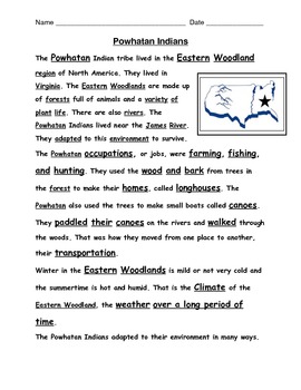
American Indian reading passages with questions
Reading passages for VA 2nd grade Social Studies SOL 2.2, 2.4 on American Indian Tribes: Powhatan, Lakota, and Pueblo all included here. 1 passage and 1 comprehension question page for each tribe. S.S. terms imbedded in text too. Up to date and aligned with VA SOL assessment language.
Grades:
2nd - 3rd
Types:
2 Digit Subtraction Without Regrouping Task Cards Zoo Theme
This is a set of 36 task cards for 2 digit addition without regrouping. I have also included a fun engaging game board. These 36 cards can be used for early finishers, math centers or stations, to play the game "Scoot" or any other cooperative group activities. If laminated students can use a dry erase marker right on the cards, which I did in tutoring.
I have also included the same set of task cards, but with a line for a divider between the ones and tens so you can differentiate. The fonts ar
Subjects:
Grades:
1st - 2nd
CCSS:
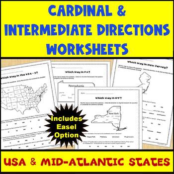
Map Skills Cardinal and Intermediate Directions Mid Atlantic States Worksheets
Do you need a way for your students to practice using maps to identify directions (both cardinal and intermediate)? If so, this set of 5 worksheets (and Easel assessment option) covering the United States and the Mid-Atlantic states of Pennsylvania, New York, and New Jersey can help. Each worksheet has 4-5 questions for students to answer using the map provided on the worksheet. There are 2 USA maps and one each for Pennsylvania, New York, and New Jersey. All of the questions are also provided
Subjects:
Grades:
2nd - 4th
Types:
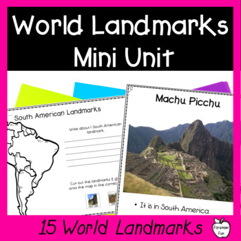
World Landmarks Lessons - 15 Famous Places Geography & Social Studies Unit
This social studies geography mini unit teaches students about 15 famous world landmarks. PDF slideshow lessons teach students the location and fun facts about each landmark. Printable student pages have students cut and paste the landmarks onto the correct location on maps and write what they learned about the landmarks. Class posters provide great visuals during your unit. A landmarks matching puzzle is great for review, a center, or for early finishers. Color and black and white versions are
Grades:
2nd - 5th
Types:
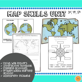
Mapping Skills Unit
Looking for an ENTIRE mapping unit! This product may be just what you need in your classroom! Recommended for grades, 3, 4, and 5 but may also be adapted for use in grade 2.This low-prep *zip file* unit has all you need to teach mapping skills to your students and includes:Day-by-day suggested objectives and activities for no-prep lesson planning!Color mapping skill posters for focus wall"Me on the Map" activity with two optionsInteractive notebook componentsDifferentiated mapping activitiesEnga
Grades:
2nd - 5th
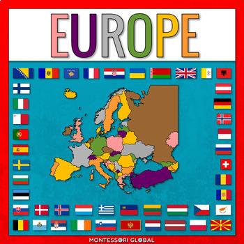
European Countries
European Countries with Capitals is a Montessori-inspired product to help learn about the countries of Europe and their capitals, as well as flags for European countries. INCLUDED:53 sets of Montessori 3 Part Cards and control cards, including the countries of Europe and their capitals as well as flags for European countries1 x Unlabelled Map of Europe in the colors of the Montessori Puzzle Maps1 x Labelled Map of Europe in the colors of the Montessori Puzzle Maps1 x World Map in the colors of
Subjects:
Grades:
2nd - 3rd
Types:
Also included in: Montessori Countries and Flags of the World
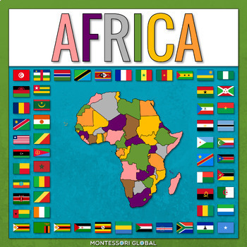
Countries of the African Continent
Countries of the African Continent is a Montessori-inspired product to help learn about the countries of Africa and their capitals, as well as flags for African countries. INCLUDED:53 sets of Montessori 3 Part Cards and control cards, including the countries of Africa and their capitals as well as flags for African countries1 x Unlabelled Map of Africa in the colors of the Montessori Puzzle Maps1 x Labelled Map of Africa in the colors of the Montessori Puzzle Maps1 x World Map in the colors of
Subjects:
Grades:
2nd - 3rd
Types:
Also included in: Montessori Countries and Flags of the World
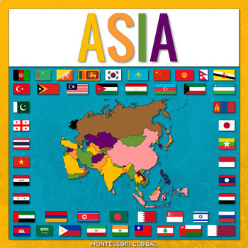
Countries of Asia
Countries of Asia is a Montessori-inspired product to help learn about the countries of Asia and their capitals, as well as flags for Asian countries. INCLUDED:53 sets of Montessori 3 Part Cards and control cards, including the countries of Asia and their capitals as well as flags for Asian countries1 x Unlabelled Map of Asia in the colors of the Montessori Puzzle Maps1 x Labelled Map of Asia in the colors of the Montessori Puzzle Maps1 x World Map in the colors of the Montessori Puzzle Maps1 x
Subjects:
Grades:
2nd - 3rd
Types:
Also included in: Montessori Countries and Flags of the World
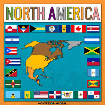
Countries of the North American Continent
Countries of the North American Continent is a Montessori-inspired product to help learn about the countries of North America and their capitals, as well as flags for North American countries. INCLUDED:53 sets of Montessori 3 Part Cards and control cards, including the countries of North America and their capitals as well as flags for North America countries1 x Unlabelled Map of North America in the colors of the Montessori Puzzle Maps1 x Labelled Map of North America in the colors of the Monte
Subjects:
Grades:
2nd - 3rd
Types:
Also included in: Montessori Countries and Flags of the World
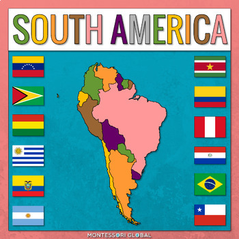
Countries of the South American Continent
Countries of the South American Continent is a Montessori-inspired product to help learn about the countries of South America and their capitals, as well as flags for South American countries. INCLUDED:53 sets of Montessori 3 Part Cards and control cards, including the countries of South America and their capitals as well as flags for South America countries1 x Unlabelled Map of South America in the colors of the Montessori Puzzle Maps1 x Labelled Map of South America in the colors of the Monte
Subjects:
Grades:
2nd - 3rd
Types:
Also included in: Montessori Countries and Flags of the World
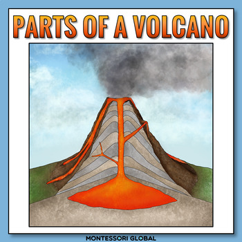
The Parts of a Volcano
The parts of a volcano are introduced in printable and digital formats. The parts of a volcano Montessori nomenclature cards include definition cards. There are two digital formats to choose from, Boom™ Cards and Easel activities. Included in this product:1. Printable parts of a volcano Montessori nomenclature cards 2. Printable parts of a volcano definition cards3. Printable parts of a volcano booklet templates for students4. Printable label the parts of a volcano diagram activities5. Label the
Subjects:
Grades:
2nd
Types:
NGSS:
2-ESS1-1
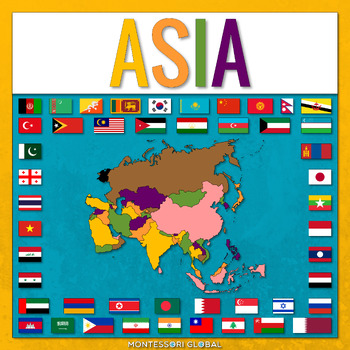
Countries of the Asian Continent
Countries of the Asian Continent is a Montessori-inspired product to help learn about the countries of Asia and their capitals, as well as flags for Asian countries. INCLUDED:46 sets of Montessori 3 Part Cards and control cards, including the countries of Asia and their capitals as well as flags for Asian countries1 x Unlabelled Map of Asia in the colors of the Montessori Puzzle Maps1 x Labelled Map of Asia in the colors of the Montessori Puzzle Maps1 x World Map in the colors of the Montessori
Subjects:
Grades:
2nd - 3rd
Also included in: Montessori Continents
IEP Goals and Activities for Elementary Math Numbers 1-10 Assessment/Centers
This math unit for elementary math numbers 1 - 10 includes: Simple assessment to determine if your students can discriminate a number from a letter. Make 2 copies. One for the student to read from. You will mark another sheet for data collection. You should circle what your student misses.Suggested IEP goals for learning numbers 1-10Suggested lesson ideasData sheetsEditable graphs for tracking student progress 5 different activities for each number5 different activities for learning to draw a li
Grades:
PreK - 5th
Types:
CCSS:
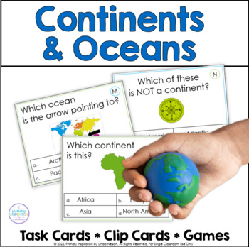
Continents and Oceans - Map Skills - World Geography Activities
Are you looking for an engaging way to practice world geography skills? This set of task cards, clip cards, and games will give your students lots of fun practice with continents and oceans!Here's what's included in this resource!* 30 multiple choice task cards, a supported way to practice identifying the shape of continents and their names, as well as the location of oceans and their names. A student recording page and answer key are provided.* 20 clip cards, again offering the support of provi
Subjects:
Grades:
2nd - 4th
Types:
Showing 1-24 of 32 results

