50 results
5th grade geography scaffolded notes for Google Apps
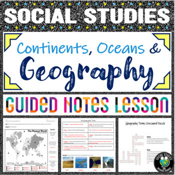
Geography Terms & Continent/Ocean Labeling - Notes, PowerPoint, 2 Activities
Looking for a no prep introductory geography lesson? Look no further! This comprehensive lesson teaches students the basics of geography, providing a strong foundation from which to teach more advanced social studies concepts. This double-sided worksheet allows students to label continents and oceans on the front, while taking guided notes on 10 geography terms (continent, ocean, bay, ocean, plain, isthmus, peninsula, strait, glacier, cataract). A corresponding PowerPoint to display is included,
Grades:
4th - 7th
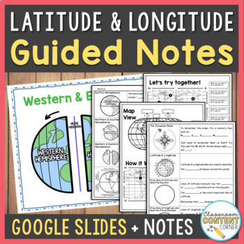
Latitude & Longitude & Hemispheres Lesson Slides & Guided Notes | Google Slides
Who says note-taking can't be fun? These Latitude & Longitude guided notes use a fill-in-the-blank format that is interactive and easy-to-follow! The slideshow will also prompt students to sketch, label, and answer questions. This resource includes: Guided Notes printable (PDF) Interactive Slideshow (Google Slides) Partially editable versions so you can adapt this lesson to your needs!Topics include: Earth's HemispheresThe Compass RoseLatitude & Longitude on a world map Following and fin
Subjects:
Grades:
5th - 8th
Types:
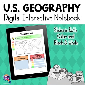
United States Geography & U.S. Regions DIGITAL Interactive Notebook
United States Geography & Its Regions Digital Interactive Notebook UnitThis resource is a U.S. Geography DIGITAL Interactive Notebook for upper elementary. The file is 110 pages long and includes a complete answer key and a unit assessment. Please note, this unit includes the same activities as my best-selling U.S. Geography Interactive Notebook, but these graphic organizers are digital. Teachers may want to use both versions with students to meet different needs. Digital pages can be used w
Grades:
4th - 6th
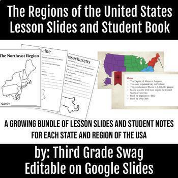
The Regions of the United States | Editable Teacher Slides and Student Notes
A growing bundle! This product is meant to teach your students about each region of the United States, and the states included in that region. Each region will have 4-5 slides for each state that students will take notes on. The notes are fill in the blank style.This product is editable. You can add, change, or delete information to meet your needs. All five regions are finished with teacher slides and student note pages.
Subjects:
Grades:
3rd - 6th
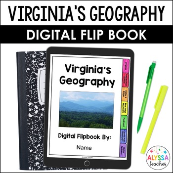
Geography of Virginia Digital Flip Book (VS.2)
This digital flip book makes it easy to teach and review Virginia's bordering states, regions, and bodies of water. Use this paperless flip book for guided note-taking or as an engaging review activity at the end of your Virginia's geography unit. No prep for you; no lost papers for them!Students will “drag and drop” movable objects and type answers to questions. This is a great way for students to become more confident with TEI skills!Students will review:Virginia's bordering statesVirginia's b
Subjects:
Grades:
4th - 5th
Types:
Also included in: Virginia Studies Digital Flip Books Bundle
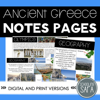
Ancient Greece Social Studies Interactive Notes | 3rd Grade VA SOL Aligned
Go over the basic facts of Ancient Greece using these notes. This product includes a printable and digital version of the notes pages. it is geared toward the Virginia SOLs (specifically, VA SOL 3.6), but can be used as an introduction to Ancient Greek contributions, geography, and architecture. The printable version includes several variations: fully filled out, fill-in-the-blank, less information per page, and blank notes pages to fill out. This product is also part of a bundle, with notes on
Grades:
2nd - 5th
Types:
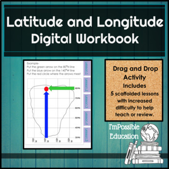
Latitude and Longitude Digital Interactive Workbook (Distance Learning)
This workbook has 37 pages of scaffolded instruction and drag and drop activity pages to help students understand latitude and longitude. It is broken down into 5 lessons and there are tabs on the side of each page so you can easily get to the lesson you are looking for. The work book starts off with description pages for latitude and longitude with a diagram and information. Each lesson has a page direction page and example pages are given for the first four lesson with descriptions. Lesson
Subjects:
Grades:
4th - 8th
Also included in: 5 Themes of Geography- Complete Digital Unit Bundle (Distance Learning)
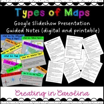
Types of Maps Google Slideshow and Note Guides
Introduce maps and their purposes with this one stop shopping, no prep presentation and note guide are ready for your classroom! This resource includes a Google Slideshow, DIGITAL note guide, a printable PDF note guide with blanks and a completed printable note guide. (great for students with accommodations) This can be used as an introduction or a review. It works well as a refresher for history classes!What does this cover?What is the purpose of a map?Political MapsPhysical MapsRoad MapsHisto
Grades:
2nd - 8th
Also included in: Types of Maps Resource Bundle
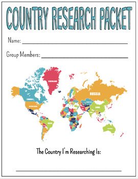
Country Research Project
- Scaffolded Note Packet - Google Slide Template for the final project
Subjects:
Grades:
3rd - 8th
Types:
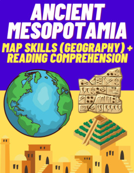
Ancient Mesopotamia: Map Skills (Geography) and Reading Comprehension Activity
This learning resource is made up of three separate activities; all of which support students in honing their map skills and reading comprehension skills in addition to bolstering their knowledge about Ancient Mesopotamia. Each activity is described below:Part 1: Labeling the Map (Identifying Features) - Students mark up/annotate a map of Ancient Mesopotamia using different colors (step-by-step). This activity was designed to enhance the geography and map skills of students.Part 2: Interpreting/
Grades:
5th - 8th
US Geologic History Notes and Artifact Activity
Where does United States history begin? This is a question scholars have been asking for a long time. This product helps you begin US history at the rock-level and pre-human history. It helps students consider how geography shapes culture and how old the history of this land is. Because most state standards do not go back this far, it allows you to practice your expectations and routines without getting into the standards-based content.Included:-Slideshow-Notes Sheet (IN PREVIEW)-Artifact Activi
Subjects:
Grades:
4th - 7th
Types:
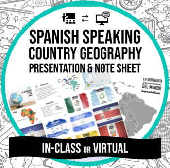
Spanish Countries Presentation & Notes (In-class & Virtual/Distance
El mundo hispanohablanteResources to introduce country/territory names, nationalities, flags and capitals of the Spanish speaking world with adaptations for both in person/virtual classrooms. Designed for beginner language learners but easily adjusted for review and/or bilingual classrooms.Includes: PDF Presentation including quality images to introduce the Spanish names, flags, nationalities and capitals of all 21 countries/territories where Spanish is identified as an official language. Link
Subjects:
Grades:
4th - 12th
Types:
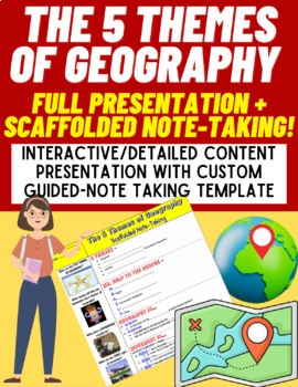
The 5 Themes of Geography: Full Presentation + Scaffolded Note-Taking
This folder contains a set of 2 (two) comprehensive learning resources with multiple opportunities for individual, partner, and group work embedded throughout on the topic of 'The 5 Themes of Geography'. A description of each item can be found below.1. Introduction to The 5 Themes of Geography (Full Google Slides Presentation with Embedded Student Prompts and Visuals)This Google Slides presentation contains core content (which follows the scaffolded notes template). Topics covered include (1) "M
Grades:
5th - 8th
Intro to Climates and Climate Types - Scaffolded Notes & Presentation
This is a great intro activity to Climates and Climate Types, especially to get them ready for Climate Graphs.The Notes can be completed independently or on pace with the Teacher Presentation, which is a complete key for all the fill in the blanks and map activity.The Preview is the worksheet and Presentation. All Uncommon History guided inquiry and reading comprehension activities encourage students to use critical thinking strategies to figure out the meaning to terms and concepts by analyzin
Grades:
5th - 12th
Types:
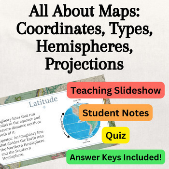
Maps: Teaching Slideshow Presentation, Notes, Comprehension Quiz - No Prep!
This resource is designed to help students learn about maps. The slideshow covers the following topics:Types of Maps: Students will learn about different types of maps, including physical, political, topographic, climate, and population maps.Latitude & Longitude: This section explains latitude and longitude, including concepts like hemispheres, the Equator, the Prime Meridian, and how to read and say coordinates.Using Maps: Students will discover key elements of using maps, such as map scale
Grades:
4th - 12th
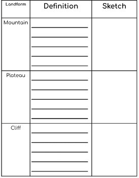
Landforms and Water Features Note-catcher
This resource can be used in Science notebooks as a note-catcher! The features on the notes are:MountainPlateauCliffValleyCanyonPlainOceanSeaRiverLakesPondsStreamsGlaciersEstuariesDelta
Subjects:
Grades:
K - 5th
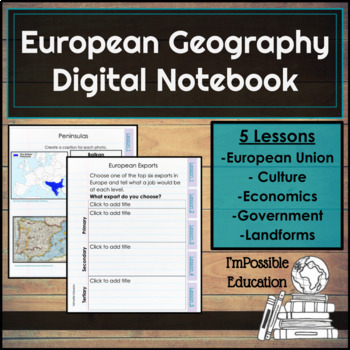
European Geography Digital Notebook or Print
No Prep! The notebook includes 5 lessons and 4 slide presentations with information. Each lesson covers a different topic- The European Union, Cultures, Economy, Government, and Landforms. Skills- note taking, research, critical thinking, and forming/supporting opinions. Digital notebook is set up for typing and same skills are also on printer friendly pages. Lesson 1 - The European Union Students will learn about the EU, euro, becoming a member, how it got started and more! There are 7 wor
Subjects:
Grades:
5th - 8th
Also included in: European Geography Digital Unit- Notebook, Escape Room, Assessments
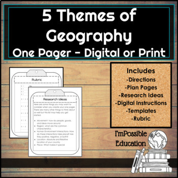
5 Themes Of Geography Pick a Country One Pager Digital/Print (Distance Learning)
Students will choose a country to created a one pager, using the 5 Themes of Geography. There are instructions on how to do the one pager- Students have a choice of different ways to present the 5 Themes of their country. There are plan pages for how and what they will write as well as planning out the illustrations. All students will draw out the one pager*. Students also have a research page that will help them get started with ideas for each theme. There are ten different layouts for stud
Subjects:
Grades:
4th - 9th

VS.2a-c Google Slides Presentation *2020 Standards*
**NEW 2020 Standards!**37 Google Slides to help students understand the standards.This is also in: VS.2a-c Virginia's Bordering States, Waterways, Regions *2020 Standards*Standards VS.2a-ca) locate Virginia and its bordering states on maps of the United Statesb) locate and describing Virginia’s Coastal Plain (Tidewater), Piedmont, Blue Ridge Mountains, Valley and Ridge, and Appalachian Plateauc) locate and identifying water features important to the early history of Virginia (Atlantic Ocean, Che
Grades:
4th - 5th
Types:
Also included in: VS.2 Google Slides Presentations *2020 Standards*
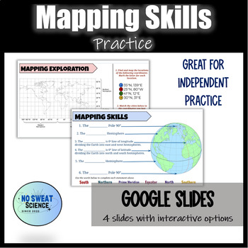
Map Skills: Latitude, Longitude, Hemispheres, Coordinates on Earth Practice
A GREAT interactive and visual activity to practice map skills! Get your students engaged and active in their learning by using these interactive slides for learning! Students identify key points of reference [Equator, Prime Meridian, Hemispheres, etc.] on a globe to help recognize specific lines and parts of Earth that are used to describe and locate specific points on Earth. Using this knowledge, students will then practice using coordinates of longitude and latitude to locate specific places
Subjects:
Grades:
4th - 7th
Types:
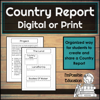
Country Report Digital/Print. (Distance Learning)
Have your students report on a country of choice with these organizers. You can have them complete the work digitally and then print or keep it digital. You could also print and have them write and draw the information. When you print this could be made into a book.There are 20 different student work slides where the students will tell about the land, culture, government. and history. There is also a cover page and a place to share about the flag. Students will complete a project to go alon
Subjects:
Grades:
4th - 8th
Also included in: Country Report and Travel Brochure Bundle

Acid Rain in Germany: Lesson Set!
This lesson set is the perfect resource to teach students about Acid Rain in Germany! This product provides a complete, no prep lesson for you to use either digitally or with hard copies (all slides are purposely printer paper size). Through guided notes or dissecting a reading passage, you can teach your students about the causes, effects, and solutions for the Germany's environmental issue.This product includes...Informative Slides and Guided NotesReading Passage (with "Reading Key" for Dissec
Grades:
4th - 8th
Also included in: Environmental Issues of Europe BUNDLE
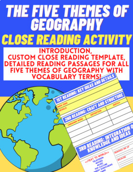
Set of Close Reading Activities: The 5 Themes of Geography
This set of learning resources can be utilized to teach students The Five (5) Themes of Geography while also boosting important literacy skills through Close Reading Strategies.The activity is framed by a custom made Close Reading Template for students to complete in order to analyze the text and interpret why details - and not the text itself - are significant.1st Reading: Key Ideas and Details2nd Reading: Craft and Structure3rd Reading: Integration of Knowledge and Ideas (Personalization)The C
Grades:
5th - 8th
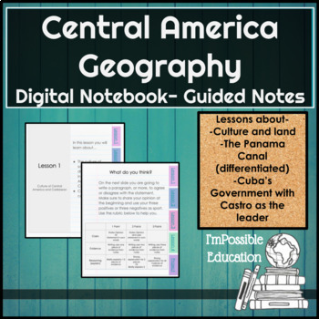
Central America/Caribbean Geo Digital Notebook Differentiated(Distance Learning)
When using this notebook your students will learn about the culture and geography of Central America and the Caribbean, with a close look at the Panama Canal and Cuba's government while Fidel Castro was the leader. There are 4 different differentiated notebook choices for you to assign. There are title slides with lesson objectives and easy link tabs on the side of each page to quickly navigate the notebook. At the end of the teacher master copy there are teacher notes. Each lesson will take a
Subjects:
Grades:
5th - 9th
Showing 1-24 of 50 results


