7 results
9th grade U.S. History Common Core 5.G.A.2 resources
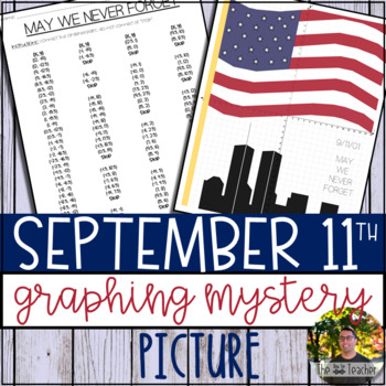
September 11th Graphing Mystery Picture
September 11th (9/11) can be a hard topic to discuss in class. With that said, it is necessary to educate our kiddos on this significant day in America’s history. Patriot Day, observed on September 11th, is meant to commemorate the lives of those we lost. I think it is also important to focus on the bravery shown on that day and how the country came together on the days that followed.This resource was created to provide a way for teachers to discuss September 11th in their mathematical lessons.
Subjects:
Grades:
4th - 9th
Types:
Also included in: 24 Coordinate Graphing Picture GROWING Bundle! (SAVE 35% OFF)
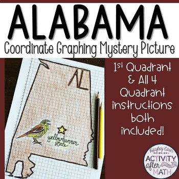
Alabama Coordinate Graphing Picture 1st Quadrant & ALL 4 Quadrants
Need a way to use math while learning about Alabama? Students will graph points on a coordinate plane and it creates an outline of the State of Alabama. There is also a star on the state Capital (Montgomery) and the state's abbreviation(AL). The clever title of "The Yellowhammer State" gives them a clue to what the picture will be. I have included Student Instructions for both Quadrant One ONLY and instructions that include ALL four Quadrants! This is a great way to differentiate for your lower-
Subjects:
Grades:
5th - 9th
Types:
Also included in: United States Coordinate Graphing Pictures BUNDLE All 50 States
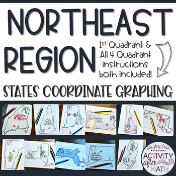
Northeast Region STATES Coordinate Graphing Pictures BUNDLE
NORTHEAST REGION HUGE BUNDLE Need a way to use math while learning about the different states in the Northeast Region? Students will graph points on a coordinate plane and it creates an outline of the State. There is also a star on the state Capital and the state's abbreviation. The clever titles of the state’s nickname gives them a clue to what the picture will be. CLICK HERE to SAVE with ALL 50 STATES BUNDLE★Want to know some tips to use these in ALL subjects? Click here to read my Blog Post !
Subjects:
Grades:
5th - 9th
Types:
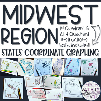
Midwest Region STATES Coordinate Graphing Pictures BUNDLE
MIDWEST REGION HUGE BUNDLE Need a way to use math while learning about the different states in the Midwest Region? Students will graph points on a coordinate plane and it creates an outline of the State. There is also a star on the state Capital and the state's abbreviation. The clever titles of the state’s nickname gives them a clue to what the picture will be. CLICK HERE to SAVE with ALL 50 STATES BUNDLE★Want to know some tips to use these in ALL subjects? Click here to read my Blog Post !★I h
Subjects:
Grades:
5th - 9th
Types:
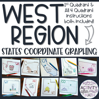
West Region STATES Coordinate Graphing Pictures BUNDLE
WEST REGION HUGE BUNDLE Need a way to use math while learning about the different states in the West Region? Students will graph points on a coordinate plane and it creates an outline of the State. There is also a star on the state Capital and the state's abbreviation. The clever titles of the state’s nickname gives them a clue to what the picture will be. CLICK HERE to SAVE with ALL 50 STATES BUNDLE★Want to know some tips to use these in ALL subjects? Click here to read my Blog Post !★I have in
Subjects:
Grades:
5th - 9th
Types:
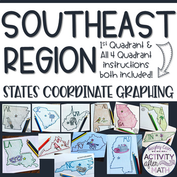
Southeast Region STATES Coordinate Graphing Pictures BUNDLE
SOUTHEAST REGION HUGE BUNDLE Need a way to use math while learning about the different states in the Southeast Region? Students will graph points on a coordinate plane and it creates an outline of the State. There is also a star on the state Capital and the state's abbreviation. The clever titles of the state’s nickname gives them a clue to what the picture will be. CLICK HERE to SAVE with ALL 50 STATES BUNDLE★Want to know some tips to use these in ALL subjects? Click here to read my Blog Post !
Subjects:
Grades:
5th - 9th
Types:
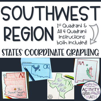
Southwest Region STATES Coordinate Graphing Pictures BUNDLE
SOUTHWEST REGION HUGE BUNDLE Need a way to use math while learning about the different states in the Southwest Region? Students will graph points on a coordinate plane and it creates an outline of the State. There is also a star on the state Capital and the state's abbreviation. The clever titles of the state’s nickname gives them a clue to what the picture will be. CLICK HERE to SAVE with ALL 50 STATES BUNDLE★Want to know some tips to use these in ALL subjects? Click here to read my Blog Post !
Subjects:
Grades:
5th - 9th
Types:
Showing 1-7 of 7 results


