4 results
9th grade Earth Day Common Core 5.G.A.2 resources
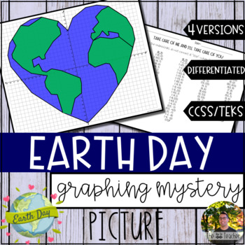
Earth Day Graphing Mystery Picture (4 Versions)
Celebrate Earth Day while integrating your math and science curriculum to graph our planet in the shape of a heart. With the "Earth Day Graphing Mystery Picture,” have your students learn about coordinate grids, ordered pairs, axis, quadrants, and much more with this engaging activity! The direction sheet is titled "Take Care of Me and I'll Take Care of You" which gives students a clue of what they will be creating. This differentiated resource contains...Direction Sheet for Whole Numbers (Quadr
Subjects:
Grades:
5th - 9th
Types:
Also included in: 24 Coordinate Graphing Picture GROWING Bundle! (SAVE 35% OFF)
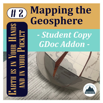
Mapping the Geosphere: Student Copy
This file contains an editable Google Doc for students to fill in. It will guide them through their their second step in labeling their foldable globe- with the layers of the Earth and plate boundary types that create landforms around the world.For more detailed instructions on how to complete this step, check out Mapping the Geosphere: Lesson Plan (detailed teacher directions, teacher template, answer key, and inspirational classroom poster) or the Mapping the Geosphere: Bundle (lesson plan an
Subjects:
Grades:
5th - 12th
Types:
NGSS:
HS-ESS2-3
, HS-ESS2-1
, MS-ESS2-2
, HS-ESS1-5
, 5-ESS2-1
Also included in: Mapping the Geosphere: Bundle
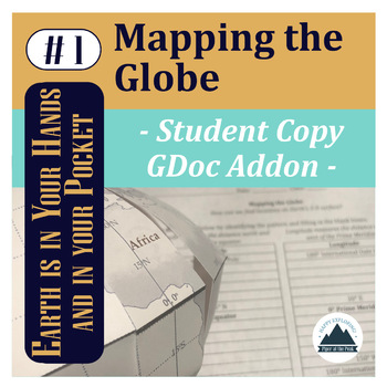
Mapping the Globe: Student Copy
This file contains an editable Google Doc for students to fill in. It will guide them through their their first step in labeling their foldable globe- with latitude and longitude that form the basis of our global coordinate system and continents.*While you can use this lesson with other classroom globes or even flat maps, you may be interested in the Student Template: Piper's Folding Globe so students can add to this globe with other Mapping the... lessons throughout the semester while keeping
Subjects:
Grades:
5th - 12th
Types:
NGSS:
HS-ESS2-1
, 5-ESS2-1
Also included in: Mapping the Globe: Bundle
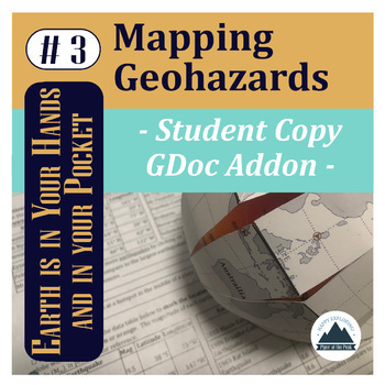
Mapping Geohazards: Student Copy
This file contains an editable Google Doc for students to fill in. It will guide them through their their third step in labeling their foldable globe- with locations of volcanoes and earthquakes around the world. It will also connect them to real-time databases to compare how their mapped content compares and analyze patterns.For more detailed instructions on how to complete this step, check out Mapping Geohazards: Lesson Plan (detailed teacher directions, teacher template, answer key, and ins
Subjects:
Grades:
5th - 12th
Types:
NGSS:
HS-ESS2-1
, HS-ESS3-1
Also included in: Mapping Basics Bundle
Showing 1-4 of 4 results

