420 results
Free 10th grade asian studies resources
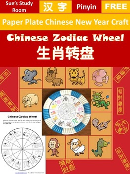
{FREE} Chinese New Year -- Chinese Zodiac Wheel (Worksheet/Paper Plate Activity)
This Chinese Zodiac Wheel can be used as a worksheet or a craft activity to supplement your Mandarin or social study program, especially during the Chinese New Year time. It includes the 12 zodiac animals in order with Chinese characters and pinyin.
This packet includes both Mandarin and English versions.
You can refer to the Chinese Zodiac Animals posters and flashcards packet for the years of each animal. Students can find out the zodiac signs for themselves and their family members.
As
Subjects:
Grades:
PreK - 12th
Silk Road Whodunnit Activity - Printable & Digital Game Options
Nothing like a good criminal investigation to liven up the Silk Road! Based off my popular CSI projects, I have created Whodunnits? The Whodunnits plan to focus on single content topics as opposed to units and will focus more on skill building than application. Every day can't be a project day, so Whodunnits can be an engaging out-of-their-seat activity to practice important skills. In a Whodunnit, students will work in teams to solve 10 practice problems that increase in difficulty. After each
Grades:
6th - 10th
Types:
Also included in: Ancient China -- World History Curriculum Unit Bundle
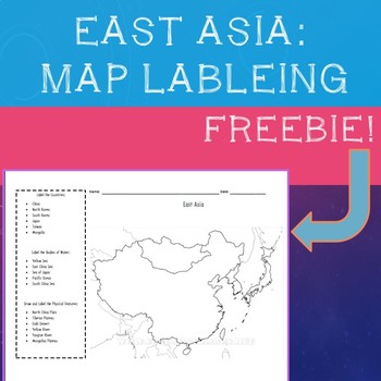
East Asia Map Labeling Freebie
A simple, fill in the blank map of East Asia with prompts to label all major physical features, bodies of water, and countries:"Label the Countries:· China· North Korea· South Korea· Japan· Taiwan· MongoliaLabel the Bodies of Water:· Yellow Sea· East China Sea· Sea of Japan· Pacific Ocean· South China SeaDraw and Label the Physical Features:· North China Plain· Tibetan Plateau· Gobi Desert· Yellow River· Yangtze River· Mongolian Plateau" Compatible with most maps on classroom set of Atlas's or
Subjects:
Grades:
4th - 10th
Types:
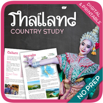
Thailand (country study)
Let’s get to know Thailand! This worksheet includes 20 pages with a great variety of activities and exercises about Thailand. The materials have informative exercises about the things that Thailand is famous for, such as elephants, tuk-tuks, the king, Buddhism, and many other things! Crosswords, word searches, puzzles and other kinds of activities are included to make it a fun and interesting class. GOOGLE SLIDES WITH PREMADE TEXTBOXES INCLUDED! Overview: Page 1-2: IntroductionPage 3-4: Geograp
Subjects:
Grades:
6th - 11th
Types:
Also included in: Asia (Country Studies Bundle)
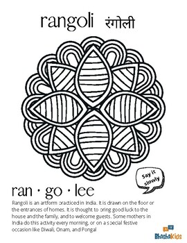
BhashaKids Rangoli Coloring Sheet | Hindi, Marathi | Culture of India | Diwali
A simple coloring sheet to introduce the word rangoli in Hindi. The word rangoli is also the same in Marathi. This handout is great for kids to learn about Indian culture, art, as well as to learn words in Hindi and Marathi. Follow BhashaKids for more content on South Asian languages & culture. We create bilingual learning materials for kids to learn South Asian languages through English. We currently have bilingual materials in Hindi, Tamil and Malayalam and are expanding to 8 more languag
Grades:
PreK - 12th, Not Grade Specific
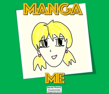
Manga Me: Draw Simple Japanese Comic Anime Faces
A simple animated PowerPoint presentation showing how to draw a manga-style face. Being a single slide, each step is drawn in a clear manner and can be kept on the screen for students to refer back to, if they want to check what has been drawn. You could print the slide off, however, it is better to take your class through step-by-step as you can reinforce the sequencing, features of anime/mange imagery, types of hairstyles and visual representation of oneself.
This is great for those Japanese
Subjects:
Grades:
5th - 10th, Higher Education
History FREE Ancient China Geography and Timeline activity PPT and DOC
Hope you enjoy this free resource!This is ideal for the Australian Curriculum INSIDE THIS FILE:PPT with Timeline and mapping visualsDOCUMENT (both digital and printable) - Introduction with timeline and geographical features activities.This is a preview of the extended version for geographical features. See the link below.#1 - Geographical Features CLICK HERE#2 - Society and Everyday Life CLICK HERE#3 - Religion and Significant Beliefs: CLICK HERE#4 - Contact, Conflict, and Legacy: CLICK HERE
Subjects:
Grades:
2nd - 12th, Higher Education, Adult Education, Staff
Also included in: Ancient China UNIT Bundle + BONUS Digital resource library
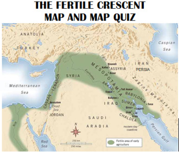
Fertile Crescent Map and Map Quiz
The Fertile Crescent at its greatest extent includes the agriculturally productive areas of the Middle East from Mesopotamia, through the eastern coast of the Mediterranean Sea, and down the Nile River area of Egypt. This map is an excellent aid for students to understand the location of the many ancient civilizations of this region. Also included are the modern countries of the area. This package contains a colorful map of the ancient civilizations of the Fertile Crescent, a blank map for stud
Grades:
6th - 12th
Types:

Model United Nations simulation (Model UN) Population, Overpopulation
This product was updated in December 2020. So far 63 teachers have purchased it. It involves the students in a Model United Nations simulation, whereby the students will have a fairly easy time discerning their country's policy regarding population control. The focus of the simulation will be on China and Africa. The debate will center around 2 draft resolutions dealing with the questions: (a) Have the one and two child policies of China done more harm than good? and (b) should these policie
Subjects:
Grades:
7th - 12th
Types:
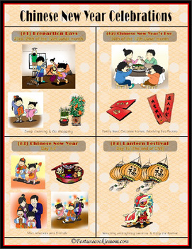
Chinese New Year's Celebrations Poster
This is a FREE Chinese New Year's Celebrations Poster
It is a cute poster with the whole Chinese New Year's schedule with beautiful pictures and descriptions on it. You can display it or hang it on the wall while teaching about Chinese New Year. It's an easy way for kids to understand the whole schedule of Chinese New Year, what kind of traditions and customs are involved, and the right timing to do it.
**********************************************************************
This product is per
Subjects:
Grades:
PreK - 12th, Adult Education
China's Terracotta Warriors: TEDed Video Viewing Guide
NOW COMPATIBLE WITH TPT DIGITAL ACTIVITIES!*Perfect for print-and-go sub plans! Use this viewing guide along with the TEDed video called "The incredible history of China's terracotta warriors." These questions ask students to analyze the information in the video along with the Themes of History including geography, culture, economics, government, belief systems, and science and technology. This is a higher-level thinking assignments perfect for enrichment in the middle grades, and grade-level an
Subjects:
Grades:
5th - 12th
Types:
Also included in: China TEDed Video Viewing Guide Bundle + DIGITAL!
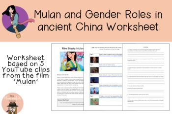
Mulan and Gender Roles in Ancient China Worksheet
A 3-page worksheet based on 5 scenes from the movie 'Mulan'. The YouTube links to all 5 scenes have been hyperlinked in the PDF worksheet. This activity works really well as part of a unit on ancient China, in particular helping students understand the key differences between male and female roles in ancient China.
Grades:
7th - 10th
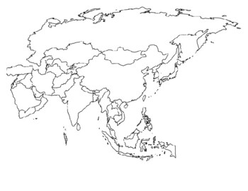
Global/U.S. - Maps Databank - Asia
33 pages of maps related to the continent of Asia. This databank of maps can be used for a variety of purposes depending on your lesson. Some examples of the types of maps included (but not limited to) are:- Political maps- Physical maps- Blank political maps- Vegetation Zone maps- Climate maps- Precipitation Rate maps- Satellite maps- Economic maps- Wealth / GDP maps- Resource / Land Use maps- Religion / language / ethnicity maps- Population density maps- Flag maps- Historical maps related to d
Grades:
1st - 12th, Higher Education, Adult Education, Staff
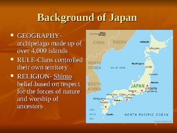
The Rise of Feudal Powers in Japan
This PPP was written to accompany Chapter 12, Empires in East Asia, Section 4, Feudal Powers in Japan from the McDougal Littell World History Patterns of Interaction. This presentation hits the high notes of the section. If you are not using the textbook, the presentation can still be used as a basic introduction for the rise of Feudal Powers in Japan.
Subjects:
Grades:
6th - 12th
Thailand Thai Asian Studies Power Point Presentation Free PPT
Thailand Basic Information- People, Language, National Animal, National Flower, Religion, Population, Games, Food, Do and Don't. - Power Point Presentation - Adjustable I would like to share my Thai cultures to all of teachers in TPT.Please Download and Enjoy it.Thank youSmiley Teacher
Grades:
1st - 12th, Higher Education, Adult Education
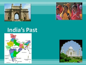
History of India
An intro to India's long history with an overview of the last 5,000 years. This 30 slide power point is heavily visual and covers everything from ancient times to Gandhi
If you like this activity check out my website: www.gosocialstudiesgo.com
Grades:
7th - 12th
Types:
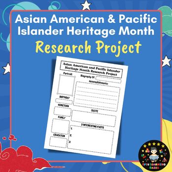
FREE Asian American & Pacific Islander Heritage Month Research Project
This Asian American & Pacific Islander Heritage Month Research Project (AAPI) is perfect for AAPI Heritage Month. Great for Asian-Pacific American history biographies, reports, and projects!You will receive A ZIP folder that includes the following:A PDF File A JPEG FileResolution: 300 DPI.Size: 8.5x11 InchHave fun and enjoy!Get These Other AAPI Products Here:✨✨✨ AAPI Heritage Month Word Search Puzzle Game ✨✨✨✨✨✨ AAPI Heritage Month Games & Activities ✨✨✨✨✨✨ AAPI Heritage Month Bulletin B
Grades:
4th - 10th
Types:
Also included in: Asian Pacific American Heritage Month Activities and Fun Games BUNDLE

Japan Artwork: Manga Lesson Activity Freebie
Freebie Alert! Here is a great way for you to incorporate Japanese artwork into your classroom. Many students enjoy watching or reading manga. Here is a way for those students to learn more about the artwork in which they love. Even if students do not enjoy watching TV shows or reading this material they enjoy video games that have this form of artwork. The activity also allows for students to attempt to draw this art form. There are some notes that go with this activity and slides to help stude
Subjects:
Grades:
6th - 12th
Types:
CCSS:
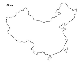
FREE - China Map Outline
FREE - China Map - China Geography - Outline Map. Use the China map for labeling or as part of an ancient China unit (JPEG, 8.5" x 11"). + + + + + + + + + + And for those of us who like one-stop shopping...ARTArt Bundle: Watercolors, Silhouettes, Color Sheets (668 pages)Art Tinting: "Poolside" with TutorialArt Tinting: "Japanese Garden" w/ TutorialArt Tinting: "Sea Life" w/ TutorialArt Tinting: "Fish" w/ TutorialArt Tinting: "English Village" w/ TutorialArt Tinting: "Country Roa
Subjects:
Grades:
K - 12th
Types:
Also included in: 6th Grade Bundle
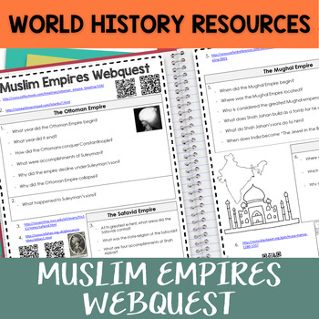
Muslim Empires Webquest
Introduce three major Muslim "Gunpowder" Empires--the Ottomans, the Safavids, and the Mughals--with this editable webquest. Use the short editable PowerPoint as a visual when reviewing the answers with students.The web quest includes urls and QR Codes along with an answer key.***This is a part of my time and money-saving Age of Exploration Interactive Notebook.***Click hereAge of Exploration Interactive NotebookIf you like this, try:Triangular Trade Foldable Graphic Who were the Mongols? Web Que
Grades:
7th - 10th
India Map - Print & Digital, Answer Key
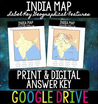
India Map - Print & Digital, Answer KeyThis is an excellent resource to kickstart your unit on Ancient or modern-day India! In this activity, students will label key geographic features in India.This resource comes as a Google Drive resource. If you would like to print the resource material, you can do so. Simply go to "File," "Download," and "PDF" to save the resource as a PDF and print!WHAT'S INCLUDED IN THIS DOWNLOAD? ⇣⇣⇣⇣⇣Map of IndiaStudents will label 16 key geographical featuresTeache
Grades:
4th - 12th
Types:
Also included in: Ancient India Unit BUNDLE
Ancient China Geographical Features Cloze passage worksheet activity Plus Answer
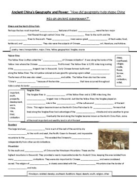
I made a Cloze passage from some text that I had in my first year of teaching. It's been a lifesaver for creating discussion about the impact geography has on culture.
Subjects:
Grades:
2nd - 10th, Higher Education
Types:
Also included in: Ancient China Bundle with worksheets and BONUS UNIT POWERPOINT
Philippines Unit Study
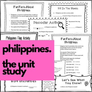
Philippines Unit Study! **FREE RESOURCE - Who doesn't love free? I love sharing resources with others and I hope you do too! Please share the link to this unit study with your friends. I hope you also take the time to write any feedback/review if you decide to use this unit study; I would really appreciate it AND you get TpT points at the same time! WIN WIN!Here is a fun way to teach your students all about the Philippines! Complete with activities and crafts, your students will have a memorable
Subjects:
Grades:
1st - 12th
Global/U.S. - Maps Databank - Oceania / Australia
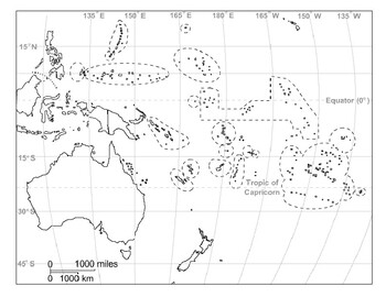
18 pages of maps related to the continent of Oceania / Australia. This databank of maps can be used for a variety of purposes depending on your lesson. Some examples of the types of maps included (but not limited to) are:- Political maps- Physical maps- Blank political maps- Vegetation Zone maps- Climate maps- Precipitation Rate maps- Satellite maps- Economic maps- Wealth / GDP maps- Resource / Land Use maps- Religion / language / ethnicity maps- Population density maps- Flag maps- Historical ma
Grades:
1st - 12th, Higher Education, Adult Education, Staff
Showing 1-24 of 420 results


