38 results
3rd grade Common Core RH.9-10.7 pdfs
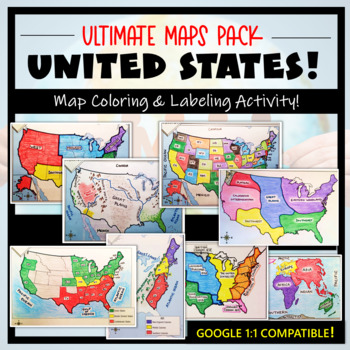
U.S. Maps & Geography- The Ultimate Label & Color Maps Pack! (American History)
This United States Ultimate Maps & Geography Pack includes eight different maps for your American History student explorers- Political Map, Physical Map, Native American Cultural Regions, 13 Colonies, Westward Expansion, 5 Regions, Civil War, and a World Map. These labeling and coloring activities are interactive, engaging, and ready to use- just print and copy! A Teacher’s Guide is provided, as well as options for use to fit your curriculum/lesson. You will also receive a completed, col
Grades:
3rd - 10th
Types:
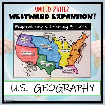
Westward Expansion Map Activity (Label and Color the Map!)
This US Geography Map Activity is a MUST for students who are learning about Westward Expansion! Students will identify, label, and color the various territories that were acquired by the United States to complete the borders that it has today. Directions for labeling and coloring are provided. A completed and colored map is provided for reference, but this map can be completed using a textbook or online resource as well. This is a creative and engaging way of supplementing lessons on geograph
Grades:
3rd - 11th
Types:
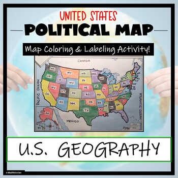
US Political Map Activity- Label and Color the 50 States!
This US Geography Map Activity is a MUST for students who are learning about the states! As a political map, they will label and color all 50 states of the United States of America, as well as surrounding areas. Directions and a key of the states are provided. A completed, colored map is provided for reference, but this map can be completed using a textbook or online resource as well. This is a creative and engaging way of supplementing lessons on geography, civics, or the history of the Unite
Grades:
3rd - 11th
Types:
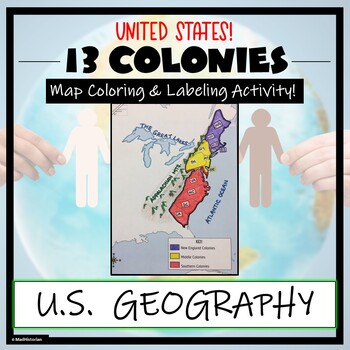
13 Colonies Map Activity- Label and Color the Map!
This 13 Colonies Map Activity is a great supplement to your lesson on the colonial period or American Revolution. Students will identify and label the colonies, and then color the three regions- Southern colonies, Middle colonies, and New England. They will also complete a map key. Directions for labeling and coloring are provided. A completed and colored map is provided for reference, but this map can be completed using a textbook or online resource as well. This is a creative and engaging w
Grades:
3rd - 10th
Types:
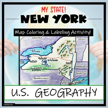
New York Map Skills and Geography- Label and Coloring Activity!
This US Geography Map Activity is a MUST for students who are learning about the state of New York! Students will label and color the map to identify cities, physical geography, and landmarks of their region. A completed and colored map is provided for reference, but this map can be completed using a textbook or online resource as well. This is a creative and engaging way of supplementing lessons on geography, civics, or the history of New York. The activity concludes with “Fast Facts”, and fiv
Grades:
3rd - 10th
Types:
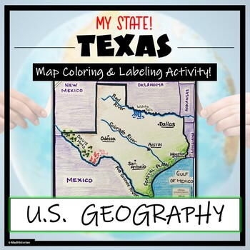
Texas Geography & Map Skills- Label and Coloring Activity!
This US Geography Map Activity is a MUST for students who are learning about the state of Texas! Students will label and color the map to identify cities, physical geography, and landmarks of their region. A completed and colored map is provided for reference, but this map can be completed using a textbook or online resource as well. This is a creative and engaging way of supplementing lessons on geography, civics, or the history of Texas. The activity concludes with “Fast Facts”, and five analy
Grades:
3rd - 11th
Types:
Geography Skills Review Centers Activity
Need to review basic Geography skills? Looking for an engaging resource to review those Geography skills?Use this 26 page Geography Skills Review Centers Activity to help your students review the basic Geography skills that are so vital for any Social Studies course. Open the Preview to see the complete product.Set includes 4 skills review cards on each of the following topics:ChartsGraphsMapsInformational TextsEach card provides 5 questions to guide students in the analysis of the informationa
Grades:
3rd - 12th
Types:
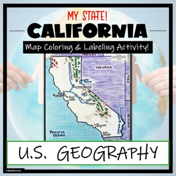
California Map Skills and Geography- Label and Color Activity!
This US Geography Map Activity is a MUST for students who are learning about the state of California! Students will label and color the map to identify cities, physical geography, and landmarks of their region. A completed and colored map is provided for reference, but this map can be completed using a textbook or online resource as well. This is a creative and engaging way of supplementing lessons on geography, civics, or the history of California. The activity concludes with “Fast Facts”, and
Grades:
3rd - 10th
Types:
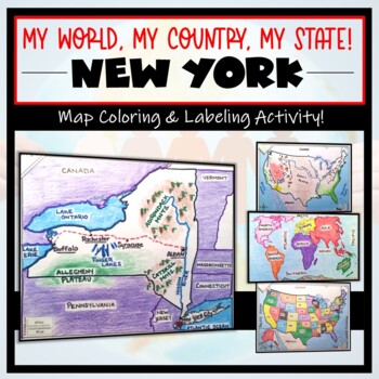
New York Map- 'My World, My Country, My State'! (Label and Color Activity)
This “My World, My Country, My State!” Map Activity is a MUST for students who are learning about their place in the world- literally! This labeling and coloring activity focuses on learning 1.) the Continents and Oceans, 2.) the United States, and 3.) the state of New York where students will identify cities, physical geography, and landmarks of the region. This is a creative and engaging way of supplementing lessons on geography, civics, or social studies. Each map concludes with “Fast Facts”,
Grades:
3rd - 10th
Types:
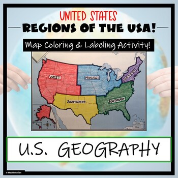
US Regions Map Activity- Label and Color the Five Regions!
This US Geography Map Activity is a MUST for students who are learning about the Five Regions of the United States! Students will identify, label, and color the five regions of the US- Northeast, Southeast, Mid-west, Southwest, and West. Directions for labeling and coloring is provided. A completed and colored map is provided for reference, but this map can be completed using a textbook or online resource as well. This is a creative and engaging way of supplementing lessons on geography, topogr
Grades:
3rd - 10th
Types:
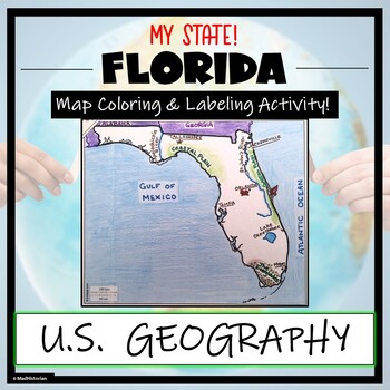
Florida Map Skills and Geography- Label and Color Activity!
This US Geography Map Activity is a MUST for students who are learning about the state of Florida! Students will label and color the map to identify cities, physical geography, and landmarks of their region. A completed and colored map is provided for reference, but this map can be completed using a textbook or online resource as well. This is a creative and engaging way of supplementing lessons on geography, civics, or the history of Florida. The activity concludes with “Fast Facts”, and five a
Grades:
3rd - 10th
Types:
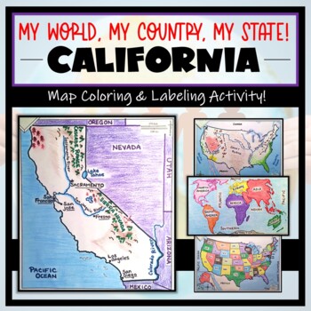
California Map Activity- "My World, My Country, My State!" (Label and Color Maps
This “My World, My Country, My State!” Map Activity is a MUST for students who are learning about their place in the world- literally! This labeling and coloring activity focuses on learning 1.) the Continents and Oceans, 2.) the United States, and 3.) the state of California where students will identify cities, physical geography, and landmarks of the region. This is a creative and engaging way of supplementing lessons on geography, civics, or social studies. Each map concludes with “Fast Facts
Grades:
3rd - 10th
Types:
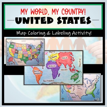
US Maps & Continents and Oceans: "My World, My Country" Label and Color Activity
These coloring and labeling activities are a great way for your learners to understand the basics on World and United States geography! The maps and tasks included primarily focus on learning 1.) the Continents and Oceans, and 2.) the United States politically and physically. This is a creative and engaging way of supplementing lessons on geography, civics, or social studies. Each map concludes with “Fast Facts”, analysis questions, or “I Can” mapping self-assessments. A completed, colored exam
Grades:
3rd - 10th
Types:
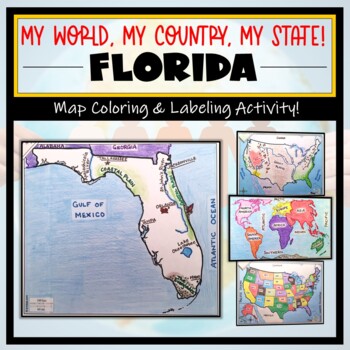
Florida Map Activity- "My World, My Country, My State!" (Label and Color Maps)
This “My World, My Country, My State!” Map Activity is a MUST for students who are learning about their place in the world- literally! This labeling and coloring activity focuses on learning 1.) the Continents and Oceans, 2.) the United States, and 3.) the state of Florida where students will identify cities, physical geography, and landmarks of the region. This is a creative and engaging way of supplementing lessons on geography, civics, or social studies. Each map concludes with “Fast Facts”,
Grades:
3rd - 10th
Types:
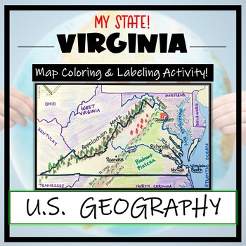
Virginia Geography & Map Skills- Color and Label Activity! (SOL aligned)
This US Geography Map Activity is a MUST for students who are learning about the state of Virginia! Students will label and color the map to identify cities, physical geography, and landmarks of their region. Directions are provided. A completed and colored map is provided for reference, but this map can be completed using a textbook or online resource as well. This is a creative and engaging way of supplementing lessons on geography, civics, or the history of Virginia. The activity concludes w
Subjects:
Grades:
3rd - 10th
Types:
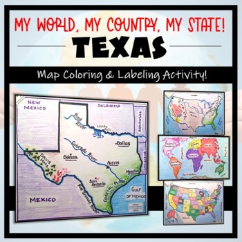
Texas Map Activity- 'My World, My Country, My State'! (Label and Color maps)
This “My World, My Country, My State” Map Activity is a MUST for students who are learning about their place in the world- literally! This labeling and coloring activity focuses on learning 1.) the Continents and Oceans, 2.) the United States, and 3.) the state of Texas where students will identify cities, physical geography, and landmarks of their region. This is a creative and engaging way of supplementing lessons on geography, civics, or social studies. Each map concludes with “Fast Facts”, a
Grades:
3rd - 11th
Types:
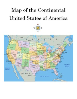
How to Read a Map: Worksheet, Test, or Homework Assignment & Detailed Answer Key
Teachers will take another step in the right "direction" when they use this third worksheet from Debbie's Den to show students how to read a map of the USA. Included are a compass as well as 20 questions that help children to become acquainted with state locations. This is the perfect individual, pair, or group activity and may be used in class or as homework. A detailed answer key is included.
Subjects:
Grades:
2nd - 9th
Types:
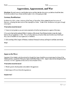
Causes of WWII
For each scenario, students will read the description and then decide what action they believe should be taken. The students will circle the number of their choice and then explain their reasoning in the space provided.
Grades:
PreK - 12th
Types:
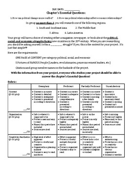
Modern Era Project
Students will have a choice of creating either a magazine, newspaper, or book about the political, social, and economic struggles facing new countries in the 20th and 21st centuries. When they are researching, they should be asking themselves, Is this a ____________ struggle? If yes, this is the content for their project. It’s just that simple!!! Also, the rubric is embedded on the handout!
Grades:
PreK - 12th, Higher Education, Adult Education
Types:
CCSS:
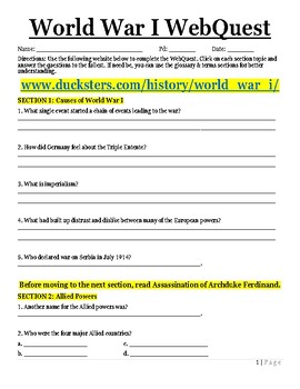
World War I WebQuest
The students will be able to use the following website to complete a World War I WebQuest. The students will click on each section topic and answer the questions to the fullest.
Grades:
PreK - 12th, Higher Education, Adult Education
Types:
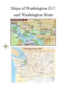
Map Skills: Washington D.C. and Washington State Worksheet with Answer Key
Teachers will take a step in the "right direction" when they use this worksheet to help students to "map out" the differences between Washington D.C. and Washington State. Included are a compass as well as 20 questions that pinpoint the differences between the nation's capital and one of the nation's states. This is the perfect individual, pair, or group activity and may be used in class or as homework. A detailed answer key is included.
Subjects:
Grades:
3rd - 11th, Higher Education, Adult Education
Types:
CCSS:
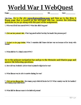
World War 1 WebQuest
The students will be able to use the following website to complete a World War I WebQuest. The students will click on each section topic and answer the questions to the fullest.
Grades:
PreK - 12th, Higher Education, Adult Education
Types:
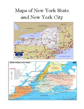
Map Skills: New York City and New York State Worksheet (or Test) with Answer Key
Students will take a step in the "right direction" when they use this worksheet to "map out" the differences between New York City and New York State. Included are 15 questions that pinpoint the facts about of one of this nation's busiest cities and the state in which it is located. This is the perfect individual, pair, or group activity and may be used in class or as homework. A detailed answer key is included.
Subjects:
Grades:
3rd - 11th, Higher Education, Adult Education
Types:

Virginia Map Activity- 'My World, My Country, My State'! (Label and Color maps)
This “My World, My Country, My State” Map Activity is a MUST for students who are learning about their place in the world- literally! This labeling and coloring activity focuses on learning 1. the Continents and Oceans, 2. the US, and 3.) the state of Virginia where students will identify cities, physical geography, and landmarks of their region. This is a creative and engaging way of supplementing lessons on geography, civics, or social studies. Each map concludes with “Fast Facts”, analysis qu
Subjects:
Grades:
3rd - 10th
Types:
Showing 1-24 of 38 results

