13 results
High school geography activities for Easel Assessments
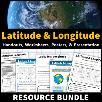
Latitude and Longitude Activities | Map Skills Worksheets Posters Presentation
Learning about latitude and longitude is fun and easy with this resource bundle! This ready-to-use no prep value bundle teaches students about latitude and longitude, the hemispheres of the world, major lines of latitude and longitude (Equator, Prime Meridian, Tropic of Cancer and Capricorn, Arctic and Antarctic Circle), and finding locations using geographic coordinates! This bundle includes: Four handouts introducing latitude and longitude, the world's hemispheres, absolute and relative locati
Grades:
5th - 9th
Types:
CCSS:
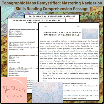
Topographic Maps Demystified: Mastering Navigation Skills Reading Comprehension
Topographic Maps Demystified: Mastering Navigation Skills Reading Comprehension PassageUnlock the secrets of topographic maps with our comprehensive resource, "Topographic Maps Demystified: Mastering Navigation Skills." This engaging package equips students with the knowledge and confidence needed to interpret and navigate through diverse terrains.Key Features:Informative Reading Passage: Dive into a rich reading passage that meticulously breaks down the fundamentals of reading topographic maps.
Subjects:
Grades:
3rd - 9th
Types:
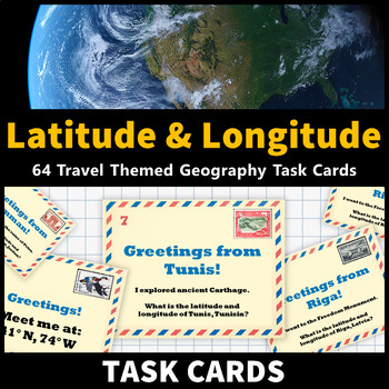
Latitude and Longitude Task Cards Map Skills Activity World and US Cities
Learning about latitude and longitude and is fun and easy with these task cards! 64 travel themed task cards are provided and help your students develop map skills and a stronger understanding of world and U.S. geography. This task card set includes: 20 task cards that include the coordinates of world cities and ask students to identify them20 task cards that feature world cities and ask students to identify their coordinates 12 task cards that include the coordinates of United States cities and
Grades:
5th - 9th
Types:
CCSS:
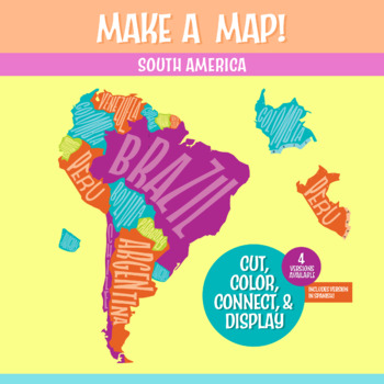
South America Geography Activity | Interactive Bulletin Board Continent Project
A South America map that you build as a giant wall map! This is a fantastic method to learn the South American countries. Both English and Spanish versions are included. When finished, you'll have a gorgeous map on display, clearly showing the South America countries. Your students can research a South American country, decorate each country, assemble the South American continent on your bulletin board or wall, and they will be all ready for a geography quiz.The finished map is HUGE: the contigu
Subjects:
Grades:
6th - 9th
CCSS:
NGSS:
MS-ESS2-3
, MS-LS2-2
, MS-ESS2-2
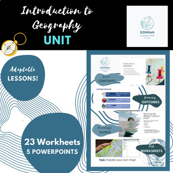
Introduction to Geography unit/module
This module covers the key topics of maps, continents, countries, compass skills, latitude and longitude, and different types of geography. I'll also include engaging hands-on activities like map making, recalls, coordinates, map labelling, reflections and word fills to make the lessons interactive and memorable for students.Firstly , we'll explore different types of geography, such as human geography, physical geography, and cultural geography. Students will engage in hands-on activities like m
Subjects:
Grades:
7th - 10th, Staff
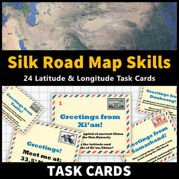
Ancient China Map Skills Activity Silk Road Latitude and Longitude Task Cards
Learning about the Silk Road and Ancient China while improving latitude and longitude map skills is fun and easy with these task cards! 24 tasks cards are provided and feature notable cities along the Silk Road. This activity helps your students develop map skills and a stronger understanding of the geography of the Silk Road! This activity is an excellent way to reinforce your ancient civilizations lessons about the Silk Road and Ancient China. This task card set includes: 12 task cards that fe
Grades:
6th - 9th
Types:
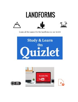
Landforms. Geography. Vocabulary. ELA. PPTx. ESL. EFL. Printables.
A full set of materials to teach and talk about the incredible landforms found on earth. Includes.1. PPTx. Beautiful images. Play online or download the pptx. Click the links on the cover.2. Landforms video. click the play button to access. Transcript. Cut up and use each as a card. Students read out not saying the name and others must guess the type of landform. 3. Online Flashcards. Professionally designed flashcard set for student self-study.4. Flashcards, matching. Match, write the names, c
Subjects:
Grades:
4th - 12th, Higher Education, Adult Education
Australian History Trivia Quiz Powerpoint + Free crossword
The Australian History Trivia Quiz is a collection of questions that test your knowledge about the history of Australia. The quiz covers a wide range of topics related to Australia's history. Participants may be asked to identify significant events or individuals in Australian history, answer multiple-choice questions, or provide short written answers. The quiz is suitable for anyone who wants to test their knowledge of Australian history, including students, educators, history enthusiasts, and
Subjects:
Grades:
K - 12th, Higher Education, Adult Education, Staff
Geography : A "Mindbender's" Game of Canada for grades 6 on up.
A "Mindbender's" Game of Canada:Become an expert about the geography of Canada simply by playing a game! *Includes a map of Canada for reference and to color (colored pencils are recommended). A great way to familiarize your students with the geography of Canada. “Highly engaging!” · 14 questions that can be used at the beginning or end of class sessions (one or two questions at a time) or for an entire class session (all questions), or as a game where the students are divided into small groups
Subjects:
Grades:
7th - 10th
Types:
CCSS:
Geography Game for the United States and Next U.S. State, Puerto Rico?
Become an expert about U.S. geography just by playing a game!~Geography “Mindbenders” for all 50 U.S. States and Puerto Rico: A Game to Play in the Classroom~, Grades 5 on up... Created by Betty J. White, aka Compass Rose, copyright 2022. · Includes maps of the United States and Puerto Rico for reference. A great way to familiarize your students (and family) with the geography of the United States. Discussion point: Could Puerto Rico become a state? “Highly engaging for grades 5 on up!” (Yes, th
Subjects:
Grades:
6th - 9th
Types:
CCSS:
Geography: Mindbender's Game of Australia, Grades 6 on up.
~Geography: Mindbender's Game of Australia~ Grades 6 on up.Become an expert on the geography of Australia just by playing a game!· Includes a map of Australia for reference. A great way to familiarize your students with the geography of Australia. “Highly engaging!”· 8 questions that can be used as a game where the students are divided into small groups of 2 to 3 (use the classroom seating arrangement as a guide). Students may record their answers on paper or respond as an oral class activity. ·
Subjects:
Grades:
9th - 12th
Types:
CCSS:
Day in the Life of Socrates: Interactive Map Activity (Philosophy Series)
Socrates was a man about town. He was not a conventional teacher. He liked to walk and talk with bright young minds along the ancient roads of Athens, via the Agora and along the Acropolis, or on the way to Piraeus with his friends. But, what was life like in the fifth century B.C.E.? Use this map activity to engage your students in visualizing what ancient Athens looked like for Socrates (and other ancient Greek philosophers who lived during the Golden Age of Greece). Read more on my blog to s
Grades:
8th - 9th
CCSS:
4 Rincones/ 4 Corners for Social Studies Vocabulary
In this presentation, students will need to identify examples of continents, countries, states and cities (continentes, paises, estados, y ciudades). This presentation includes 20 examples that can be used in one session or broken apart into smaller sections.To play 4 corners, mark each corner of the room with one of the vocabulary words. When you show an example, students will need to move to the corresponding corner. If playing virtually, you can have students hold up the number with fingers
Subjects:
Grades:
3rd - 9th
Types:
Showing 1-13 of 13 results


