Year 8 Geography Uluru Map Assessment Task and Rubric (differentiated)
Humanities and Sociology Teacher Australia
14 Followers
Grade Levels
7th - 8th
Resource Type
Formats Included
- Word Document File
Pages
4 pages
Humanities and Sociology Teacher Australia
14 Followers
Description
Year 7/8 Geography - Landforms and Landscapes - Uluru map and research assessment
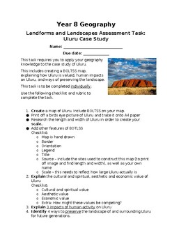
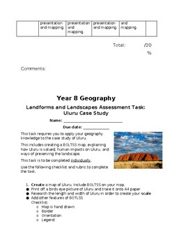
This assessment task involves students creating a BOLTSS map of Uluru and researching geographical aspects of Uluru (e.g. how Uluru is valued, human impacts on Uluru, and ways of preserving the landscape).
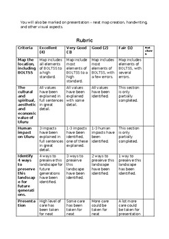
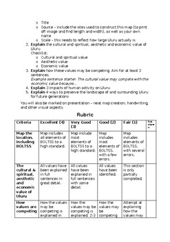
- Includes task instruction sheet and rubric (written in student-friendly language)
- Standard task and rubric p. 3-4
- Modified task and rubric p. 1-2
- Aligned to Victorian Curriculum and Australian Curriculum (Knowledge, Skills and Achievement Standards included). Covers the topic of Landforms and Landscapes.
- It is important to re-iterate respect for Indigenous culture throughout the class.
Victorian Curriculum
Geographical Knowledge (Level 7-8) - Landforms and Landscapes
- Different types of landscapes and their distinctive landform features (VCGGK116)
- Human causes of landscape degradation, the effects on landscape quality and the implications for places (VCGGK119)
- Spiritual, cultural and aesthetic value of landscapes and landforms for people, including Aboriginal and Torres Strait Islander peoples, that influence the significance of places, and ways of protecting significant landscapes (VCGGK120)
Geographical Concepts and Skills (Level 7-8)
- Collect and record relevant geographical data and information from useful primary and secondary sources, using ethical protocols (VCGGC102)
- Select and represent data and information in different forms, including by constructing appropriate maps at different scales that conform to cartographic conventions, using digital and spatial technologies as appropriate (VCGGC103)
- Analyse maps and other geographical data and information using digital and spatial technologies as appropriate, to develop identifications, descriptions, explanations and conclusions that use geographical terminology (VCGGC104)
Australian Curriculum
Geographical Knowledge (Year 8) - Landforms and Landscapes
- Different types of landscapes and their distinctive features (ACHGK048 )
- Spiritual, aesthetic and cultural value of landscapes and landforms for people, including Aboriginal and Torres Strait Islander Peoples (ACHGK049 )
- Human causes and effects of degradation (ACHGK051)
- Ways of protecting significant landscapes (ACHGK052)
Geographical Inquiry and Skills (Year 8)
- Evaluate sources for their reliability and usefulness and select, collect and record relevant geographical and information, using , from appropriate primary and (ACHGS056)
- Represent in a range of appropriate forms, for example, graphs, compound column graphs, population pyramids, tables, field sketches and annotated diagrams, with and without the use of digital and (ACHGS057)
- Represent of different types of geographical phenomena by constructing appropriate maps at different scales that conform to cartographic conventions, using as appropriate (ACHGS058)
- Interpreting, analysing and concluding Interpret geographical and other information using qualitative and , and digital and as appropriate, to identify and propose explanations for spatial distributions, patterns and trends, and infer relationships (ACHGS059)
Total Pages
4 pages
Answer Key
Rubric only
Teaching Duration
3 days
Report this resource to TPT
Reported resources will be reviewed by our team. Report this resource to let us know if this resource violates TPT’s content guidelines.


