- PDF
Description
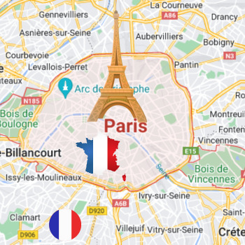
This activity offers students the opportunity to embark on a virtual tour of Paris. Students will navigate an interactive Google map that I personally created, which is publicly accessible. The map features markers hovering over 12 significant landmarks in Paris. When a student clicks on a marker, a photo and a brief description of the landmark will appear. Students will then complete a provided worksheet by extracting information from the virtual tour. The worksheet consists of two parts:
1. In the first part, students are presented with the map, with each marker labeled with a letter. They must match each letter to the corresponding landmark.
2. On the other side of the worksheet, students will find a table. They are shown a photo of a landmark and must identify the name of the landmark and provide essential facts about it.
Please note that in some districts, the technology department may have restricted access to external Google sources. If this is the case, I recommend making a copy of the map for yourself by clicking the three dots in the upper left corner of the map. Then, share that copy with the students, ensuring that the new map bears your district's domain.
It's important to adapt the instructions accordingly to ensure smooth access to the virtual tour based on your district's technology restrictions.


