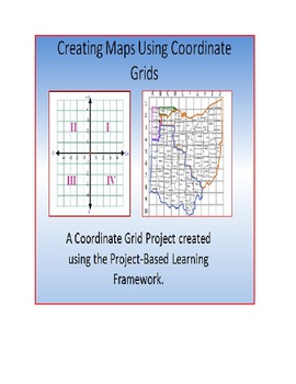
PBL: Mapping Your School on a Coordinate Grid: CORE (Geometry and Number Sense)
PBL Paradise
110 Followers
Description
For an in-depth preview go here: http://pblparadise.blogspot.com/
CORE Standards
6.G.3 Draw polygons in the coordinate plane given coordinates for the vertices; use coordinates to find the length of a side joining points with the same first coordinate or the same second coordinate. Apply these techniques in the context of solving real-world and mathematical problems.
6.NS.6.b Understand signs of numbers in ordered pairs as indicating locations in quadrants of the coordinate plane; recognize that when two ordered pairs differ only by signs, the locations of the points are related by reflections across one or both axes.
5.G.1 Use a pair of perpendicular number lines, called axes, to define a coordinate system, with the intersection of the lines (the origin) arranged to coincide with the 0 on each line and a given point in the plane located by using an ordered pair of numbers, called its coordinates. Understand that the first number indicates how far to travel from the origin in the direction of one axis, and the second number indicates how far to travel in the direction of the second axis, with the convention that the names of the two axes and the coordinates correspond (e.g., x-axis and x-coordinate, y-axis and y-coordinate).
5.G.2 Represent real world and mathematical problems by graphing points in the first quadrant of the coordinate plane, and interpret coordinate values of points in the context of the situation.
This PBL Project allows students to apply what they've learned about Coordinate Grids, Scale, and Quadrants. All concepts that are found under the CORE Curriculum Standard: Number Systems.
The Driving Question: In Teams of 4, can you create a coordinate grid mapping of the school; complete with a scale and a directory that shows the coordinates and quadrant of at least 20 locations?
This bundle contains:
37 Powerpoint Slides
A Timeline
1 Project Rubric
1 Collaboration: Individual Rubric
1 Collaboration Team Rubric
1 Public Presentation Rubric
1 Team Management Log
Total Pages
42 pages
Answer Key
N/A
Teaching Duration
2 Weeks
Report this resource to TPT
Reported resources will be reviewed by our team. Report this resource to let us know if this resource violates TPT’s content guidelines.


