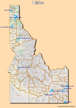
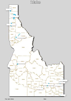
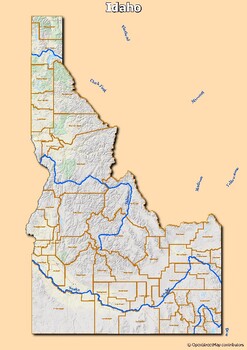
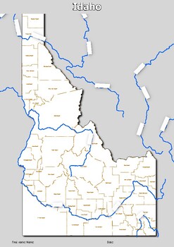
Map of major rivers and map of major lakes in the state of Idaho, USA
- PDF
Description
Map of major rivers and map of major lakes in the state of Idaho, USA
This material gives you two specific maps, one for rivers and one for lakes, which provide an engaging way to learn about geography.
Rivers Map: This map shows the major rivers in Idaho. Using a blank map, students can fill in the names of rivers on the blank map, developing their geography and mapping skills.
Lakes Map: Discover the largest lakes in the state of Idaho. Using this white map, students will be able to identify and mark important lakes, helping to develop their knowledge of local geography.
Interactive Experience: This material promotes active and interactive learning. Students will fill in the names of rivers and lakes directly on the blank maps, which helps them memorize and better understand state geography.
Perfect for distance learning: These interactive maps are suitable for any learning environment, including distance learning. Teachers and parents can use these resources to engage their students in a virtual learning journey through the state's natural beauty.


