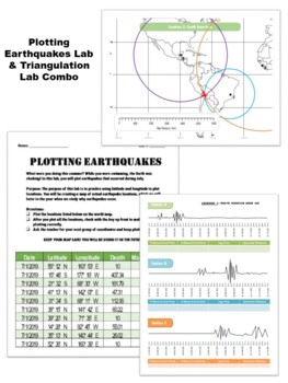
Locating EQ Epicenter Lab / Triangulation & Earthquake Coordinate Lab
Products in this Bundle (2)
Description
This is a combination pack made up of two of my best labs for use during a plate tectonics/ earthquake unit. Save 15% when you buy these labs together!
Lab 1:) Locating Earthquakes:
This is a lab to help students explore the triangulation method used to determine earthquake epicenters. I created this lab because I wanted a lab that very purposefully made students practice the analysis of seismogram data, calculate pertinent information such as "lag time" from P-wave and S-wave data and use triangulation to determine epicenter location. I wanted a lab that (a) focused on these skills and not other data (while interesting and important could also distract from the learning target) and (b) a lab that looked simple and pleasing to the eye.
What you get:
*The lab which includes four complete sets of earthquake data (data, triangulation map, key). In other words, students will calculate the epicenter location for four different earthquakes.
*A set of student notes which explicitly show, step by step, how to use P and S wave arrival time with a P and S wave curve to calculate epicenter distance AND P and S wave travel time. With these notes I give example data sets for practice and I include a key.
*A suggested lesson plan to follow.
Lab Two: Earthquake Coordinate Lab
I am always looking for a latitude/longitude earthquake lab that has NEW data and can never find one... so I made one! Have your students plot real earthquake locations from July 2019. Coordinates are given in degrees, minutes and seconds. Use both, or just have students round to the nearest degree. Minutes and seconds are included in case you would like to print out a larger scale map of a specific location. Use this as a review of latitude and longitude, and as a way to purposefully plot data to explore plate tectonics later! I've included 36 pages of data, allowing each student to plot real and different data. Please check out the preview file for instructions! HAPPY PLOTTING!
PS. I will be updating this file EVERY SUMMER for you - until I'm no longer a teacher (probably around 2035)... and then I will provide detailed instructions on how to do this yourself!
TO SEE MORE INFORMATION ABOUT EITHER OF THESE LABS, PLEASE LOOK AT THEIR DESCRIPTIONS SEPARATELY WITHIN MY STORE


