Introduction to Mapping and GIS Presentation and Assessment
Learning Pyramid
874 Followers
Grade Levels
7th - 12th, Higher Education, Adult Education, Homeschool
Subjects
Resource Type
Formats Included
- PDF
- Easel Assessment
Pages
47 pages
Learning Pyramid
874 Followers
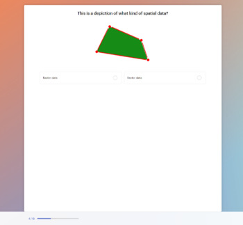
Easel Assessment Included
This resource includes a self-grading quiz students can complete on any device. Easel by TPT is free to use! Learn more.
Also included in
- This bundle makes it easy to start teaching about graphic design, color theory, typography, mapping, and much more! Included in this bundle are a wide range of presentations, infographic handouts, and digital Easel assessments on concepts introduced. This is a growing bundle: new graphic design prodPrice $59.99Original Price $105.74Save $45.75
- From color theory to graphic design, and art history to typography, this bundle has everything you need to teach art! Included are comprehensive presentations with accompanying interactive Easel assessments to gauge student learning before and after lessons. This bundle includes resources on traditiPrice $69.99Original Price $110.76Save $40.77
- This bundle introduces your students to the exciting world of data visualization! Teach your students how to tell a story with data with this comprehensive set of engaging and visually rich presentations that outline data visualization, mapping, design principles, layout creation, and more! Best praPrice $12.99Original Price $22.95Save $9.96
Description
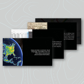
This presentation introduces key concepts and considerations in mapping and GIS including:
- the history of mapping and its use today
- an introduction to the benefits of data visualization and mapping
- types of maps
- the science of GIS and leading platforms
- the differences between raster and vector data
- elements of map layers
- key considerations when thinking about creating a map
Also included is an interactive digital Easel assessment that can be used to gauge student learning before or after the lesson.
This resource is also available in an editable Google Slides version.
Use this as part of a unit on mapping, GIS, data visualization, social studies, the visual arts, and more!
Total Pages
47 pages
Answer Key
Included
Teaching Duration
N/A
Report this resource to TPT
Reported resources will be reviewed by our team. Report this resource to let us know if this resource violates TPT’s content guidelines.

