Earthquake Activity Worksheet and Seismic Waves
- PDF
What educators are saying
Also included in
- A comprehensive bundle for teaching a unit on the Layers of the Earth and Earthquakes complete with lots of meaningful activities. Includes a comprehensive PowerPoint and many activities and worksheets. Interesting demonstrations are described and the packet also provides many excellent homeworkPrice $35.35Original Price $47.90Save $12.55
Description
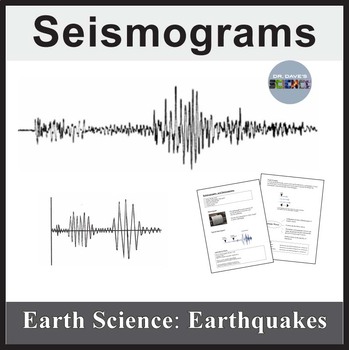
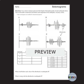
How big was that earthquake? The worksheet is a measuring activity where students must precisely measure the height of peaks on a seismogram and correlate this measurement to the Richter scale value of the earthquake. Accuracy counts! The answer key is provided.
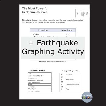
This packet also provides the student sheet for a bar graph that plots the most powerful earthquakes ever recorded in the world. Graph paper is included.
Finally, a 15 clue crossword puzzle is included that comes with and without a word bank, which allows you to differentiate the assignment.
This resource aligns to NGSS MS-ESS3-2
Resources in Earthquake Bundle
1. Layers of the Earth Layers of the Earth
2. Finding the Epicenter Finding the Epicenter
3. Tectonic Plates Tectonic Plates
4. Seafloor Spreading Seafloor Spreading Model
5. Earthquakes and the Richter Scale The Richter Scale
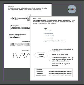
6. Seismic Waves Seismic Waves
7. The 1906 San Francisco Earthquake The San Francisco Earthquake of 1906
8. The Jello Earthquake The Great Jello Earthquake
9. P and S waves The Speed of P and S waves
10. Density of Core and Crust Measure the Density of the Core and Crust
11. The Metallic Core of the Earth The Metallic Core of the Earth
12. Tsunamis Tsunamis
----------------------------------------------------------------------------------------------
Terms of Use
Copyright © Dr. Dave's Science. All rights reserved by author. This product is strictly for individual use and may not be copied or given to other teachers. Copying any part of this product and placing it on the Internet in any form (even a personal/classroom website) is strictly forbidden and is a violation of the Digital Millennium Copyright Act (DMCA).
Dr. David Purvis. After obtaining a PhD in Microbiology, I switched careers and became a middle school and elementary science teacher because I loved kids. Almost thirty years later I have taught science in some context to every grade level including several years of middle school earth science. My store offers rigorous resources that align meaningful content, an inquiry approach, NGSS standards, and student interest.
Follow my store for more and happy teaching!

