117 results
Geography lessons for Easel Activities under $5
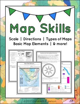
Map Skills Package
This package contains a variety of handouts, worksheets, a lesson idea, and an activity to help teach students map skills such as scale, cardinal and intermediate directions, types of maps (planimetric, thematic, topographic), and basic map elements (legend, title etc.)
Contents
Welcome
Teaching Guide (3 pages)
Latitude, Longitude, and Directions: The Orange Lesson
Latitude Labeling Worksheet Option 1 (label)
Latitude Labeling Worksheet Option 2 (trace)
Cardinal and Intermediate Directions Han
Grades:
3rd - 6th
Types:
Also included in: Map Skills Bundle: activities, worksheets, crafts, posters + more
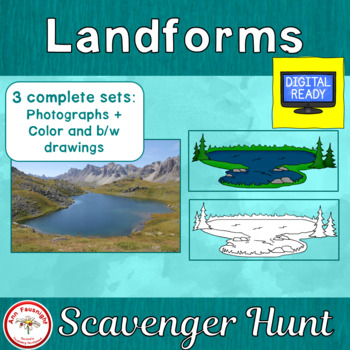
Landforms Scavenger Hunt + Free BOOM Cards
With this scavenger hunt students will gain knowledge of landforms, while practicing naming them. The scavenger hunt is provided in three formats; with photographs, color illustrations, and black/white illustrations. Two formats for student use with the scavenger hunt cards are now included; a questions sheet and a crossword puzzle. Directions for Use1. Print the Landforms Scavenger Hunt cards on card stock then cut them apart. Laminate for durability if desired. 2. Make copies of the Landforms
Subjects:
Grades:
3rd - 5th
Types:
Also included in: Landforms Bundle
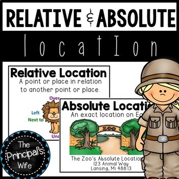
Absolute and Relative Location
This geography unit was created to cover the concepts of absolute and relative location. The fun zoo themed activities will help engage your students in the standard being covered.
This lesson is a part of my geography bundle.
To download the bundle, click here!
What’s Included?
1. Word Wall Posters
- Absolute and Relative Location posters that include definition and visual
examples.
3. Welcome to the Zoo! Relative Location Activity and Teacher
Call Out Sheet
4.
Subjects:
Grades:
1st - 2nd
Types:
Also included in: Geography Bundle
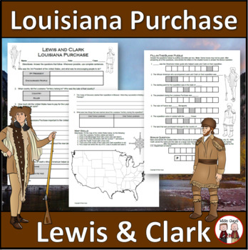
Louisiana Purchase - Lewis and Clark Expedition
Here is a fun and engaging activity about Lewis and Clark and the Louisiana Purchase. Your students will be answering comprehension questions about the famous expedition through the Louisiana Territory. They will be using their map skills to complete a map of the area at the time in the United States.The purpose of this activity is for students to show their understanding of the impact of Lewis and Clark's expedition through the Louisiana Territory and beyond.Here is what you'll get in this 3-pa
Grades:
5th - 8th
Types:
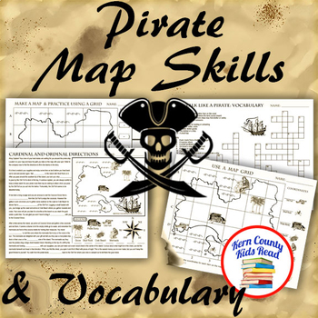
Pirate Map Skills: Grid Coordinates, Cardinal & Ordinal Directions, Symbols
Teach and strengthen coordinate grid math, geography mapping skills like map symbols and cardinal and ordinal directions with a compass rose, and new vocabulary with these pirate themed printable worksheets. These are fun mini-lesson activities for Talk Like A Pirate Day on September 19th or if you have a pirates themed unit. Cardinal directions and coordinate grid mapping are important introductory skills to mastering latitude and longitude map skills and being able to use an atlas. Coordinate
Subjects:
Grades:
3rd - 6th
Also included in: Pirates Thematic Unit Study Bundle: Talk Like A Pirate Pack!
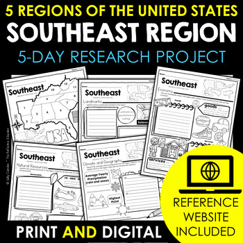
Southeast Region | 5 Regions of the US | Social Studies Research Project
Your students will love learning about the Southeast region - one of the 5 regions of the United States - with this fun research project. Scaffolded notes support students through the research process from start to finish. Simply share the kid-friendly Reference Website created for this project with your students and use the scoring guide to grade their work quickly. Print and digital options make this resource PERFECT for any teaching situation! Tired of looking for kid-friendly, ad-free websit
Grades:
2nd - 4th
Also included in: 5 Regions of the United States | Social Studies Research Project BUNDLE
Roman Geography Digital Task Cards
These digital task cards are the perfect way to kickstart your Ancient Rome unit! In this activity, students will tackle five different tasks to explore the geography of Italy and the Ancient Romans. With venn diagrams, maps, and drag-and-drop features, the Roman Geography Digital Task Cards will engage your students and encourage them to think critically about the impact of geography on the lives of the Romans.This lesson includes:- Teacher lesson plan- Link to Google Slides- Five task card act
Grades:
6th - 10th
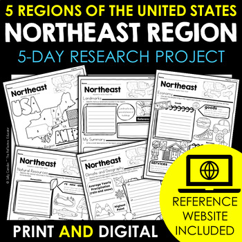
Northeast Region | 5 Regions of the US | Social Studies Research Project
Your students will love learning about the Northeast region - one of the 5 regions of the United States - with this fun research project. Scaffolded notes support students through the research process from start to finish. Simply share the kid-friendly Reference Website created for this project with your students and use the scoring guide to grade their work quickly. Print and digital options make this resource PERFECT for any teaching situation! Tired of looking for kid-friendly, ad-free websit
Grades:
2nd - 4th
Also included in: 5 Regions of the United States | Social Studies Research Project BUNDLE
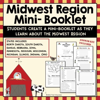
Midwest Region Unit Worksheets Mini Book Research Project
Midwest Region Unit Worksheets Mini Book Research ProjectThis Midwest region mini unit consists of 10 half page worksheets that students complete and assemble as a mini-book. The worksheets also be used as part of an interactive notebook about the Midwest region. Students staple the pages together once they have completed all of their information about the Midwest region. The pages include:A Midwest Region cover pageStates and Capitals of the Midwest regionA map of the Midwest Region (stud
Grades:
2nd - 8th
Types:
Also included in: US Regions Unit Mini Booklets Worksheets All Five Regions Bundle
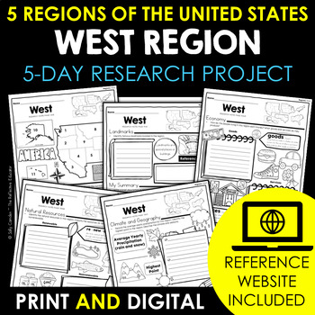
West Region | 5 Regions of the US | Social Studies Research Project
Your students will love learning about the West region - one of the 5 regions of the United States - with this fun research project. Scaffolded notes support students through the research process from start to finish. Simply share the kid-friendly Reference Website created for this project with your students and use the scoring guide to grade their work quickly. Print and digital options make this resource PERFECT for any teaching situation! Tired of looking for kid-friendly, ad-free websites yo
Grades:
2nd - 4th
Also included in: 5 Regions of the United States | Social Studies Research Project BUNDLE
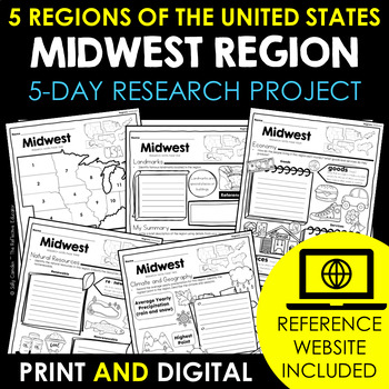
Midwest Region | 5 Regions of the US | Social Studies Research Project
Your students will love learning about the Midwest region - one of the 5 regions of the United States - with this fun research project. Scaffolded notes support students through the research process from start to finish. Simply share the kid-friendly Reference Website created for this project with your students and use the scoring guide to grade their work quickly. Print and digital options make this resource PERFECT for any teaching situation! Tired of looking for kid-friendly, ad-free websites
Grades:
2nd - 4th
Also included in: 5 Regions of the United States | Social Studies Research Project BUNDLE
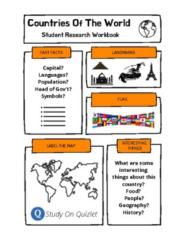
Research A Country Of The World. Presentation. Geography. Culture. Project. ESL.
50 templates for students to research one country of the world and then report back to the class their findings. Includes a blank template to use with any other country not included. Students research basic information, label a map, list interesting facts, design the flag and list famous landmarks. Also, includes access to 100s of professionally designed Quizlet sets (click the logo to go to the folder) for studying world countries, flags, cities. ESL, EFL, ESOL, project, worksheets, research,
Grades:
Not Grade Specific
Types:

Southwest Region | 5 Regions of the US | Social Studies Research Project
Your students will love learning about the Southwest region - one of the 5 regions of the United States - with this fun research project. Scaffolded notes support students through the research process from start to finish. Simply share the kid-friendly Reference Website created for this project with your students and use the scoring guide to grade their work quickly. Print and digital options make this resource PERFECT for any teaching situation! Tired of looking for kid-friendly, ad-free websit
Grades:
2nd - 4th
Also included in: 5 Regions of the United States | Social Studies Research Project BUNDLE
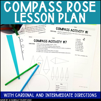
Compass Rose Worksheets & Activities with Cardinal Directions Worksheets & Games
Take the confusion OUT of the compass with this stellar lesson! The Compass Rose Lesson Plan includes everything you need to teach the tricky compass rose, cardinal directions, and intermediate directions without the headache. With 7 activities, games, and crafts, you have everything you need for your students to nail this concept. Save time planning and hit your learning targets with this great lesson.Here are some ways teachers have used this resource:✔ Get your students moving around the room
Grades:
2nd - 4th
Also included in: Economics Unit and Geography Unit Bundle - Social Studies Curriculum
Aerial View Mapping Activities
This geography unit was created to help your students understand the concept of an aerial view map.
This lesson is a part of my geography bundle.
To purchase the bundle, click here!
What’s Included?
1. Word Wall Posters
a. Aerial View poster that includes definition and visual
examples.
2. Aerial View Picture Sorting Activity
a. Aerial/Not Aerial view sorting mat
b. 12 Aerial/Not Aerial view pictures
3. Classroom Aerial View Activity
a. Mock classroom aerial
Grades:
K - 2nd
Types:
Also included in: Geography Bundle
Alaska History, Climate, Geography Informational Text Article with Questions
Two-page article and one page of short response questions covering a brief history, as well as information on the climate and geography of Alaska! Perfect to accompany novels set in Alaska (i.e. Touching Spirit Bear), or as an independent activity. Answer Key included.Includes both PRINTABLE and DIGITAL VERSIONS for Distance Learning and In-Person Classrooms.**********************Thanks for choosing Simply Novel! Be sure to FOLLOW Simply Novel for exciting new product announcements, sales, prom
Grades:
6th - 8th
Types:
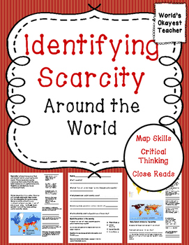
Understanding Scarcity Around the World
Students will read about different types of scarcity and use maps to identify scarcity in regions around the world. They will read, analyze the maps, and do some critical thinking to answer questions. Students need to be able to identify the 7 continents on a map that is not labeled in order to answer some of the questions. There are some simple research questions and a quiz included. Even if scarcity is not in your standards, this is a great resource for general knowledge and practicing map ski
Subjects:
Grades:
3rd - 6th
Types:
Kindergarten Social studies: Geography
Kindergarten geography lesson plans are here! Supplement your Social studies curriculum for kindergarten with this simple, easy to print and use lesson plan pack! Students will be engaged and master standards!Standards addressed in this pack:K.08 Use personal directions such as: up, down, near, far, left, right, in front of, and behind. K.09 Explain what a map and globe represent. K.10 Recall the student’s and/or school’s street address, city/town, and state.Activities included:addres, city and
Grades:
K
Types:
Also included in: Kindergarten Social Studies: BUNDLE!!!!
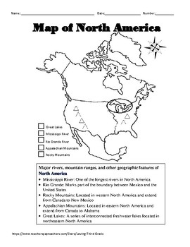
Social Studies VA SOL 3.6 d North America Geography wTPT Digital Learning Option
North America Geographic Features Interactive Notebook Page and QuizIncluded in this resource are: -An interactive notepage that defines the 5 major geographic features found in North America and allows students to color code the location of each geographic feature on a map of North America.-A quiz that requires the students to identify the 5 major geographic features found in North America and label a compass rose with cardinal and intermediate directions.Aligned to the 2015 Virginia Standards
Subjects:
Grades:
3rd
Also included in: Social Studies VA SOL 3.6 Geography Bundle w/TPT Digital Learning Option
Religions: AP Geography (Flipped Classes)
When I get to the Religions Unit in either the culture unit of my AP Human Geography class or the Human Geography unit of my World Geography class, I flip the entire unit. What I do is assign one religion a day for homework prior to the students coming into class. Then I teach the religion that they already gained background knowledge on! It's super helpful and the students feel more prepared to learn what I'm going to teach about.Flipped classes are becoming more common!Give your students ba
Subjects:
Grades:
8th - 12th, Higher Education
South Carolina Geography - Notes and Interactive Puzzle - Google Slides
Google slides presentation about the major geographical features of South CarolinaPresentation includes notes and maps of: Landform regions of SCBlue RidgePiedmontSandhillsInner Coastal PlainsOuter Coastal PlansCoastalMajor SC river systemsSavannahEdistoSantee CooperPee DeeMajor citiesIncludes 9 major cities and two local cities that you can customize for your students.Interactive drag and drop puzzles for landforms, river systems and major cities
Grades:
6th - 9th
Types:

Current Events TED Talk: How the news distorts our worldview
This is a fantastic TED Talk and lesson to address geographical bias in the media. Though given in 2008, the message still has relevance today. In this lesson, students will be introduced to bias in the media and will investigate for themselves using current news outlets whether this bias still exists and what it looks like. The TED Talk is quick (4.5 min) and succinct in providing an introduction for this one class period lesson. Use as a stand-alone lesson or as part of a larger media stud
Grades:
8th - 12th
Types:
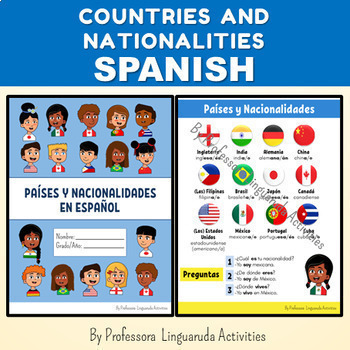
COUNTRIES AND NATIONALITIES IN SPANISH NO PREP - Países y Nacionalidades
COUNTRIES AND NATIONALITIES IN SPANISH NO PREP BACK TO SCHOOLSOUTH AMERICA MAP ACTIVITY Países y nacionalidades en españolEste recurso contiene 13 páginas.-Portada/Capa en inglés y español;-Lista con países y nacionalidades: México, Brasil, Japón, Alemania, Canadá, Cuba, Estados Unidos, Filipinas, China, Inglaterra, India y Portugal;-Verbos SER y VIVIR con 3 opciones de pronombres: 1-completo, 2- no incluye vosotros, 3-no incluye usted(s) o vosotros;-Preposiciones y artículos;-Nacionalidades en
Subjects:
Grades:
4th - 9th, Higher Education
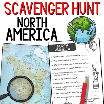
North America Atlas Scavenger Hunt - Continent & Countries Map Geography Task
Make North American geography fun with this North America scavenger hunt! Students will learn about the countries, oceans, rivers, and more, of North America. They have 11 questions to find the answers to. A map and answer page are included.What you geta page with 11 questions for students to answera solution page for you - or that they can use to mark their own worka 1-page map that they can use to answer all the questions. If you'd prefer, students could use an atlas or online map, instead of
Subjects:
Grades:
2nd - 5th
Types:
Showing 1-24 of 117 results


