8 results
2nd grade geography homeschool curriculum images
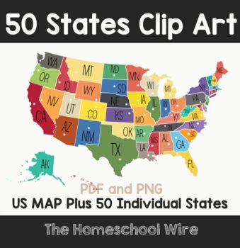
Individual State Shapes with state capitals plus US MAP Design clip art
All 50 US states with flag background offered in the following formats:PNGPDFIndividual State Shapes with capitals Design and BONUS US Map
Grades:
PreK - 4th
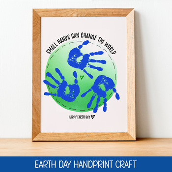
EARTH DAY CRAFT, HANDPRINT PRINTABLES, APRIL ACTIVITY, INSTANT DOWNLOAD
FOREVER JUNE DIGITAL DESIGNPLEASE NOTE- THIS PRODUCT IS A DIGITAL, PRINTABLE FILE. NO PHYSICAL PRINT WILL BE SENT. This Instant Download Earth Day Printable includes 1 Handprint Printable; sized at 8x10 inches. This Earth Day Activity works for various sized hands. Children can choose to add more or less handprints based on the size of their hands.LOOKING FOR AN IMPACTFUL EARTH DAY ACTIVITY?This DIY Earth Day Handprint Craft for students is a great way to celebrate Earth Day and help kids under
Subjects:
Grades:
PreK - 6th
Also included in: EARTH DAY HANDPRINT CRAFT BUNDLE, SET OF 5 INSTANT DOWNLOAD ACTIVITIES
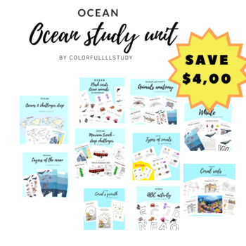
Ocean unit bundle
Make ur ocean studies fun
Grades:
PreK - 12th, Higher Education, Adult Education, Staff
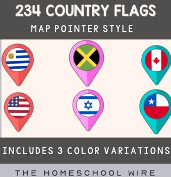
234 Country Flags in 3 Colors Aqua, Red and Pink World Map Marker style design
World Flags Design.234 markers with a flag for the map. Map pin Flag of United Kingdom, Great Britain flag template design. Flags set in the shape of map pointers or markers. Flags of the different countries of the world: USA, UK, Holland, Germany, Italy, Canada, France, Russia, Brazil, Ukraine, Bulgaria, China, Chile, India, Finland, Colombia, Iceland, Greece, Iran, Macedonia, Mali, Moldova, Morocco, Norway, Nepal, , and other countries flags.Features list234 markers with a flags of World for t
Grades:
PreK - 12th
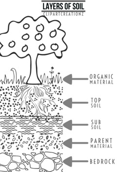
Layers of Soil - Coloring Poster
Easy way to colour and learn that Soil is made up of distinct layers, called horizons. Each layer has its own characteristics that make it different from all of the other layers. Print poster size and put up in class for better clarity and discussion.
Subjects:
Grades:
1st - 4th
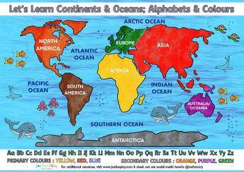
Learn Continents & Oceans; Alphabets & Colours
A simple resource to introduce your kids to geography. With this one-pager they are able to learn about the world map and get familiar with knowing the locations of the continents and oceans; while practicing their alphabets, primary & secondary colors.
Subjects:
Grades:
PreK - 6th
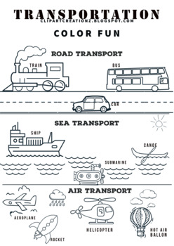
Modes of Transport Coloring Clipart
Modes of Transport Coloring Clipart Is an easy and fun way for kids to learn about transportation. Use it to make your school assignments too.
Subjects:
Grades:
K - 3rd
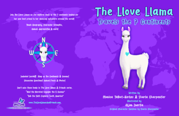
"The Llove Llama Travels the 7 Continents"
Join The Llove Llama as she explores each of the 7 continents looking for her new best friend in her amazing adventure around the world! This book teaches world geography, directions, social emotional learning, and more through discussion questions, animal facts & photos, and world maps. Here is the link to purchase the book on Amazon for only $14.99: https://bit.ly/TheLloveLlamaBook
Subjects:
Grades:
1st - 4th
Showing 1-8 of 8 results


