3 results
9th grade earth sciences printable interactive whiteboards
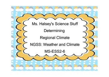
Determining Regional Climate NGSS: Weather and Climate MS-ESS2-6 (Editable)
This lesson focuses on the NGSS Standard MS-ESS2-6, determining regional climate with clear descriptions and visual representations (Common Core SL8.5)
Lesson includes:
*Difference btw Weather and Climate
*Factors that affect the climate include:
Latitude
Topography
Location of Lakes and Oceans
Amount of Moisture
Global Wind Patterns
Ocean Currents
Location of Air Masses
*Guide for Science and Engineering Process writing/research/media assignment
*Power Point
Subjects:
Grades:
5th - 9th
CCSS:
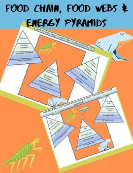
ONLINE LEARNING::Energy Pyramids and Food Chains INTERACTIVE
This interactive is a great resource to have in your course. What does the download include?30 questions pertaining to food chains and energy pyramidsPowerpoint version of interactive activity PDF downloadable version of interactive activityHow do you download this item?Download the zip file to gain access to the Powerpoint and PDF versionsHow do you use the Powerpoint version of the interactive activity?Open the file in PowerPointChoose 'TRANSITIONS' (located at the top of the program)'ON MOUS
Subjects:
Grades:
7th - 10th
NGSS:
MS-LS2-3
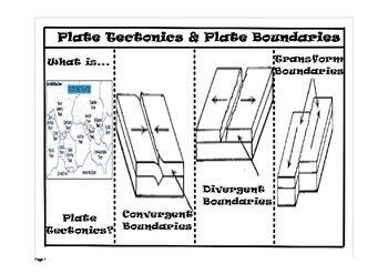
Plate Tectonics Foldable Flipchart ONLY
Please make sure that you have the ActiveInspire software to properly view and use this product.
You can use this flipchart to help students complete the Plate Tectonics and Plate Boundaries foldable.
Subjects:
Grades:
4th - 12th, Higher Education, Adult Education
Showing 1-3 of 3 results

