15 results
Elementary geography images for parents
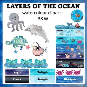
Layers of the Ocean (zones) {Earth Science and Marine Biology ClipArt}
::::::::::::::: Description :::::::::::::::This is an earth science based watercolour clip art set with Black and white images included in the set. The images included in this set are: the five ocean layers (sunlight, twilight, midnight, abyss & trench), boats, ocean waves, ocean plants, seaweeds, ocean rocks, various ocean animals, marine creatures (whale, whale tail, dolphin, octopus, jellyfish, scallop, starfish, crab, anglerfish, turtle, eerl, pearlfish. ::::::::::::::: + 60 image
Subjects:
Grades:
3rd - 5th
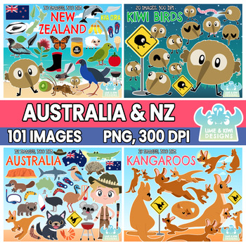
Australia and New Zealand Clipart Bundle 1 (Lime and Kiwi Designs)
::::: WE VALUE YOUR FEEDBACK! :::::At Lime and Kiwi, we strive to make the best possible clipart to help you produce engaging resources for your students! If you have any feedback or suggestions on how we can make our products better for you, please email us at contact@limeandkiwidesigns.com!::::: CONTENT WITHIN PACKAGE :::::► Images saved individually at approximately 6.8” x 6.8” at 300 dpi. Please note that each image varies in size depending on its shape. ► Supplied in both color and black an
Grades:
PreK - 5th
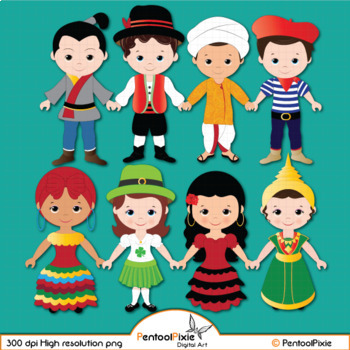
Children of the World clipart, World Children, ethnic clipart - PART 4
Our Children around the world clipart is created with an intention of educating our students about world cultures, traditional dressing, and more which will be our main focus in creating more content. Stay tuned!--------------------------------------------------------------------------------------19 total images (10 vibrant, colored images, 9 BW versions)All images are saved as PNG formats with transparent backgrounds and are of High resolution - 300 dpi.-----------------------------------------
Grades:
PreK - 8th, Higher Education, Adult Education, Staff
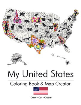
My United States. Black & White Coloring Book & Map Creator.
My United States is a coloring book for adults & children alike.
Children can work with their teacher or parent to cut out each of the pages once colored and assemble their unique map. The finished coloring book is a fun educational tool to help children understand their country, including what animal, flower or object is represented by that state. Patterns range from beginner to intermediate. This is an excellent tool for both geography teachers and parents.
End Map Dimensions: 30" x 25"
Subjects:
Grades:
K - 9th
Types:
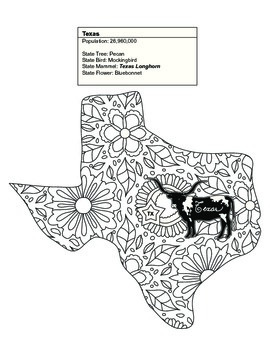
Black & White Texas Map Coloring Sheet. Contains State Facts
This Texas coloring sheet is part of a set of 20 of the United States. Some of the sets contain between 1 and 7 states.
Once colored children can cut out each of the pages and assemble their unique map. The finished coloring book is a fun educational tool to help children understand their country, including what animal, flower or object is represented by that state. Patterns range from beginner to intermediate. This is an excellent tool for geography teachers and parents alike.
Thank you for
Subjects:
Grades:
K - 9th
Types:
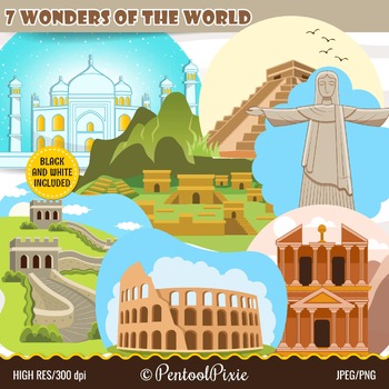
Seven Wonders of the World clipart, New Seven wonders, 7 wonders, travel clipart
Our New Seven Wonders of the World clipart is created to be used in making educational resources to introduce and educate our students about these beautiful monuments.--------------------------------------------------------------------------------------14 total images (7 vibrant, colored images, 7 BW versions)All images are saved in PNG formats with transparent backgrounds and in JPEG formats and are of High resolution - 300 dpi.-------------------------------------------------------------------
Subjects:
Grades:
PreK - 8th, Higher Education, Adult Education, Staff
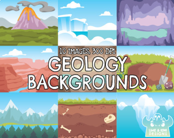
Geology Backgrounds Clipart (Lime and Kiwi Designs)
::::: WE VALUE YOUR FEEDBACK! :::::At Lime and Kiwi, we strive to make the best possible clipart to help you produce engaging resources for your students! If you have any feedback or suggestions on how we can make our products better for you, please email us at contact@limeandkiwidesigns.com!Backgrounds provided in this pack:Volcano sceneUnderground with bonesA hole dug with different stones around it2 x Caves with stalagmites and stalactitesMountain rangeCanyonCaveman's caveAntarctic/arctic sce
Grades:
PreK - 5th
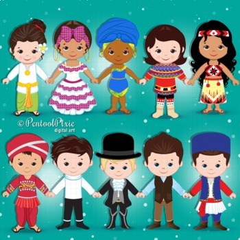
Children of the World clipart, World Children, ethnic clipart - PART 2
Our Children around the world clipart is created with an intention of educating our students about world cultures, traditional dressing, and more which will be our main focus in creating more content. Stay tuned!--------------------------------------------------------------------------------------22 total images (11 vibrant, colored images, 11 BW versions)All images are saved as PNG formats with transparent backgrounds and are of High resolution - 300 dpi.----------------------------------------
Grades:
PreK - 8th, Higher Education, Adult Education, Staff
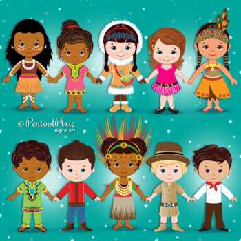
Children of the World clipart, World Children, ethnic clipart PART 1
Our Children around the world clipart is created with an intention of educating our students about world cultures, traditional dressing, and more which will be our main focus in creating more content. Stay tuned!--------------------------------------------------------------------------------------20 total images (10 vibrant, colored images, 10 BW versions)All images are saved as PNG formats with transparent backgrounds and are of High resolution - 300 dpi.----------------------------------------
Grades:
PreK - 8th, Higher Education, Adult Education, Staff
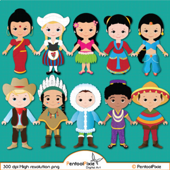
Children of the World clipart, World Children, ethnic clipart - PART 3
Our Children around the world clipart is created with an intention of educating our students about world cultures, traditional dressing, and more which will be our main focus in creating more content. Stay tuned!--------------------------------------------------------------------------------------32 total images (16 vibrant, colored images, 16 BW versions)All images are saved as PNG formats with transparent backgrounds and are of High resolution - 300 dpi.----------------------------------------
Grades:
PreK - 8th, Higher Education, Adult Education, Staff
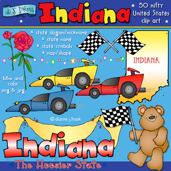
Indiana State Symbols Clip Art Download
So... 'Hoosier' favorite state? If you love Indiana, you'll love this fun clip art collection! Download includes the state name and slogan, a basic map of Indiana, a banner and star border, some peony flowers, a bear, some checkered flags and a race car in 3 colors.Perfect for state reports and studies, travel and learning about the USA. Check-out Kid Doodles USA for images on ALL 50 states at an incredible value.All images are included in black & white and color, in high quality .png and
Grades:
1st - 5th, Staff
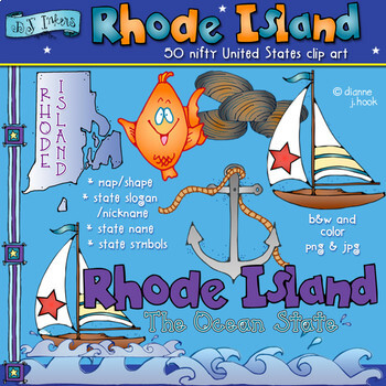
Rhode Island State Symbols Clip Art Download
You'll want to sail away with the clip art smiles from Rhode Island! Our 'Ocean State' collection includes the state name and slogan, a sailboat, anchor, ocean border, nautical border, a Rhode Island map, some quahog clam shells and a funny fish. Perfect for state reports and studies, travel and learning about the USA. Check-out Kid Doodles USA for images on ALL 50 states at an incredible value.All images are included in black & white and color, in high quality .png and .jpg formats (300 dp
Subjects:
Grades:
1st - 5th, Staff
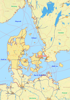
Denmark map with cities township counties rivers roads labeled
Denmark map with cities township counties rivers roads labeledDenmark Europe map is a type of map that includes geographical features such as towns, communes, counties, rivers and roads. These features are labelled with their respective names, allowing the user to easily identify them.This type of map is useful for anyone wishing to explore the country or better understand its geography.This download contains files that may be printed and copied or used digitally._______________________________
Grades:
4th - 12th, Higher Education
Types:
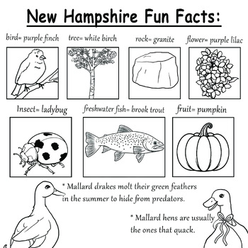
New Hampshire
These printable coloring pages are a little bonus treat from my new children's book, Countess Bubbly (coming in spring 2024). It's the perfect book for all seasons!
Subjects:
Grades:
PreK - 5th
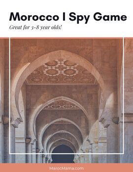
Morocco I Spy Game
A simple "I Spy" style activity that can be used for kids 3-6 years old. Download comes with game boards as well as play suggestion ideas.
Subjects:
Grades:
PreK - 1st
Types:
Showing 1-15 of 15 results


