918 results
4th grade geography worksheets for Easel
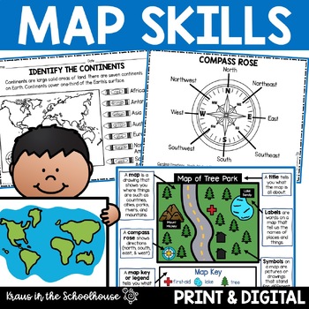
Map Skills Activities and Worksheets Maps Globes Landforms Continents & Oceans
Make learning fun for your students when teaching map skills. Map skills topics include maps, globes, continents, oceans, landforms, water forms, suburban, urban, rural, directions, and more. This resource is perfect for second, third, and fourth grade students. Digital activity included using Easel by TpT.These activities can be used during whole group instruction, independent work, and center time. Easy-to-use activity sheets with clear directions and answer keys are provided.HERE'S WHAT YOU'L
Grades:
2nd - 4th
Types:
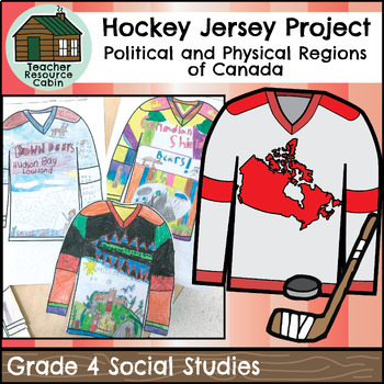
Canadian Physical Regions Hockey Jersey Project (Grade 4 Social Studies)
This project is intended as a culminating task for Grade 4 Social Studies - Canada's Political and Physical Regions. Students will research a chosen physical region of Canada (i.e. Cordillera, Arctic Lands, Canadian Shield, Interior Plains, Hudson Bay Lowlands, St. Lawrence Lowlands, or Appalachian Region) and design a hockey jersey for a hockey team from that region. Their hockey jersey will include a design that represents the types of landforms, climate, animals, vegetation, landmarks, and jo
Subjects:
Grades:
4th
Types:
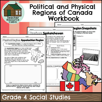
Political and Physical Regions of Canada Workbook (Grade 4 Social Studies)
This workbook covers the Grade 4 Political and Physical Regions of Canada unit in the current 2018 Ontario Social Studies curriculum (People and Environments).In this workbook, students will learn about various aspects of Canada's political and physical regions. They will explore political regions through maps, cardinal directions, and individual provinces and territories, including their flags and key facts. The workbook also covers physical regions, such as the Canadian Shield, Great Lakes-St.
Grades:
4th
Also included in: Grade 4 Ontario Social Studies Workbook Bundle
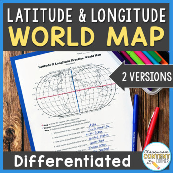
Latitude and Longitude Worksheet | Differentiated Activity | World Map
Do your students find latitude and longitude confusing? This resource will help make teaching this tricky skill a piece of cake! And, this resource comes with two differentiated versions to meet your students needs. Worksheet A has no labels, so students can practice identifying continents, oceans, and 2 (easily identifiable) countries as they follow the Latitude and Longitude coordinates! Worksheet B is similar, and perfect for ELL's or struggling learners! The map on this version is labeled, s
Subjects:
Grades:
4th - 8th
Types:
Also included in: Latitude and Longitude ACTIVITY BUNDLE!
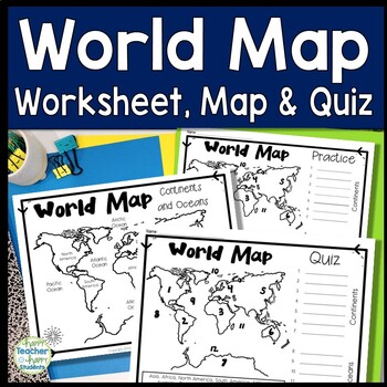
World Map: World Map Quiz (Test) and Map Worksheet | 7 Continents and 5 Oceans
Map of the World Test: Easy-to-read World Map Quiz requires students to locate 7 Continents and 5 Oceans. This resource also includes a world map printable for kids to practice learning the map of the world. Students must label continents and oceans: 7 Continents (Asia, Africa, North America, South America, Antarctica, Australia & Europe) and 5 Oceans (Atlantic, Pacific, Indian, Arctic & Southern). This is an ideal continents and oceans activities for 1st grade, 2nd grade, 3rd grade, 4th
Grades:
2nd - 6th
Types:
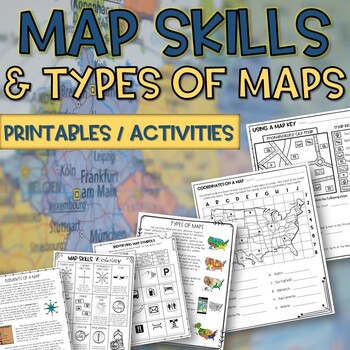
Map skills and Types of Maps Printables & Activities Pack
Map Skills and Types of Maps Unit: All the worksheets and activities you will need to help teach the subject. Answer Keys are included. What comes with this download: (take a look at the preview for greater detail!)· Types of Maps Reading Passage and Comprehension Questions · Elements of a map Reading Passage and Comprehension Questions · Using a Compass Rose Worksheet · United States map filled in and empty · Cut and Paste Types of Maps · Using a map key activity · Map skills activity · Coordin
Subjects:
Grades:
3rd - 5th
Types:
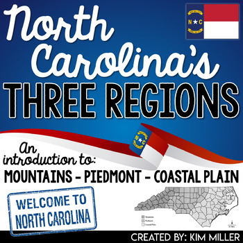
North Carolina's 3 Regions Mountains Piedmont Coastal Plain TpT Digital Activity
Introduce your students to North Carolina's three regions with this engaging and informative packet written in a way students can understand! In this product students are introduced to:3 distinct landforms found in North Carolina (Appalachian Mountains, Piedmont Plateau, Coastal Plain)Location (absolute location and relative location)3 regions found in North Carolina (Mountains, Piedmont, Coastal Plain)Each North Carolina region is broken down by specific characteristics, places of interest, and
Grades:
4th - 6th
Types:
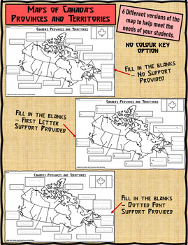
Map of Canada's Provinces and Territories For Students to Label and Colour
This download contains 6 maps of Canada (11 x 17 paper) to allow you differentiate your instruction to help meet needs of all students in your classroom as they learn to identify and locate the provinces and territories in Canada.This download contains: 1. A map of Canada with the province and territory (boxes left blank for students to fill in). Students provided with a colour key to colour each province and territory. 2. A map of Canada with the first letter/s of each province and territory s
Subjects:
Grades:
2nd - 5th
Types:
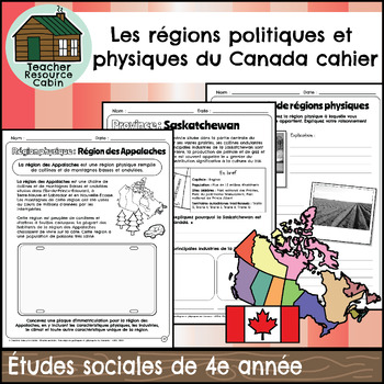
Les régions politiques et physiques du Canada (Grade 4 FRENCH Social Studies)
This FRENCH workbook covers the Grade 4 - Les régions politiques et physiques du Canada (Political and Physical Regions of Canada) unit in the Ontario Études sociales (Social Studies) curriculum (People and Environments). In this workbook, students will learn about various aspects of Canada's political and physical regions. They will explore political regions through maps, cardinal directions, and individual provinces and territories, including their flags and key facts.The workbook also covers
Subjects:
Grades:
4th
Also included in: Grade 4 Ontario FRENCH Social Studies Mega Bundle (FULL YEAR)
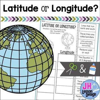
Latitude and Longitude Cut and Paste Activity: Distance Learning Compatible
This is a fun and engaging way to practice determining the difference between latitude and longitude! Students will read a sentence and decide if it is describing latitude or longitude, then glue the box in the correct column. An answer key is included.
Grades:
3rd - 5th
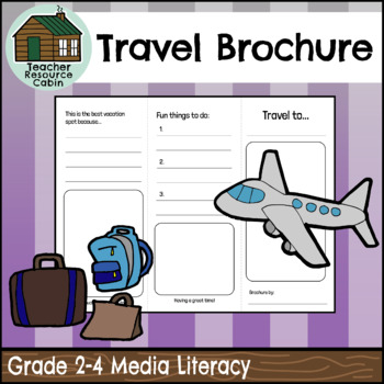
Travel Brochure (Grades 2-4 Language)
This Travel Brochure assignment can be used as a tool to explore cultural diversity within your classroom while also meeting media and literacy Ontario curriculum expectations. Students can choose a country from their family background or a country that interests them to explore for this task. The task requires students to research various characteristics of their chosen country, such as climate, the country flag, cultural foods, things to do, and unique sights to see. Encourage your students to
Subjects:
Grades:
2nd - 4th
Also included in: Grade 2 Ontario 2023 Language Bundle (FULL YEAR)
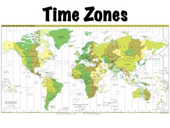
Time Zones
Time zones presentation: this is a lesson on time zones that I use with my students. Includes a simple 10 question worksheet on time zones in the United States and an optional, somewhat more challenging worksheet on world time zones, where students have to determine what time it is at locations around the world given the current time. Included in the presentation are:Definitions of time zones, the prime meridian, the international date line, and daylight savings timeThe history of time zonesHow
Subjects:
Grades:
4th - 7th
Also included in: Geography Introduction Bundle
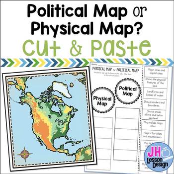
Physical Maps and Political Maps: Cut and Paste: Distance Learning Compatible
Physical map or political map? This is a fun and engaging way to practice determining the difference between physical and political maps! Students will read a statement and decide if it is describing a physical or political map, then glue the box in the correct column. An answer key is included.This is part of a BUNDLE
Grades:
3rd - 6th
Also included in: Physical and Political Maps BUNDLE
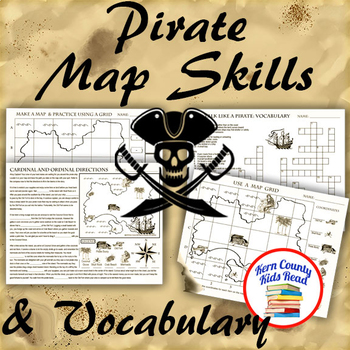
Pirate Map Skills: Grid Coordinates, Cardinal & Ordinal Directions, Symbols
Teach and strengthen coordinate grid math, geography mapping skills like map symbols and cardinal and ordinal directions with a compass rose, and new vocabulary with these pirate themed printable worksheets. These are fun mini-lesson activities for Talk Like A Pirate Day on September 19th or if you have a pirates themed unit. Cardinal directions and coordinate grid mapping are important introductory skills to mastering latitude and longitude map skills and being able to use an atlas. Coordinate
Subjects:
Grades:
3rd - 6th
Also included in: Pirates Thematic Unit Study Bundle: Talk Like A Pirate Pack!
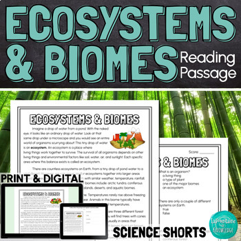
Ecosystems and Biomes Reading Comprehension Passage PRINT and DIGITAL
This easy to read, one page passage defines ecosystems and biomes and explains the difference between the two terms. It describes 7 of Earth's major biomes: arctic tundra coniferous forestsdeciduous forestsrainforestsgrasslandsdesertsaquatic biomesThis download includes a one page passage with color and black line versions of the illustration, 10 multiple choice reading comprehension questions, an answer key, and 2 self-scoring digital versions - EASEL and Google Forms. Color and black line illu
Subjects:
Grades:
4th - 7th
Types:
NGSS:
MS-LS3-1
Also included in: Ashton's Custom Science Shorts Reading Comprehension Bundle

Christmas Cities in the USA Geography Map Activity Worksheets
Christmas Cities in the USA Geography Map Activity WorksheetThis United States Christmas map features cities whose names are associated with the holidays in some way. Students use a blank U.S. map to locate and label each city. Great to reinforce state names, regions, and writing proper nouns. Both the map and city checklist contain fun graphics which enhance the activity. An answer key is included.This activity is part of my Fun Christmas Language Arts Activities Bundle.I also
Grades:
2nd - 9th
Types:
Also included in: Christmas Language Arts Activities Webquests, Fact or Fiction, and More
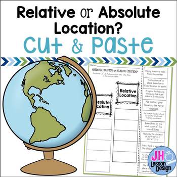
Absolute and Relative Location: Cut and Paste Sorting Activity
Relative or absolute location? This is a fun and engaging way to practice determining the difference between relative location and absolute location! Students will read a statement and decide if it is describing a relative or absolute location, then glue the box in the correct column. An answer key is included.
This is part of a BUNDLE
Grades:
3rd - 6th
Also included in: Absolute and Relative Location BUNDLE
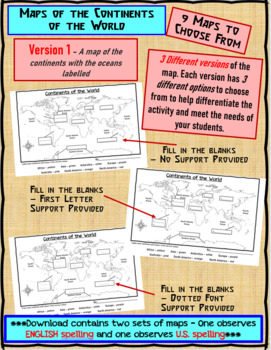
Maps of the Continents of the World For Students to Label and Colour/Color
This download contains 9 maps of the continents of the world (11 x 17 paper) to allow you differentiate your instruction to help meet needs of all students in your classroom as they learn to identify and locate the continents of the world. ***Please note that there are 2 sets of each of the 9 maps – one set observes English Spelling and one set observes U.S. spelling.***This download contains: 1. A map of the continents with the oceans labelled and the continents left blank for students to fill
Subjects:
Grades:
2nd - 7th, Adult Education
Types:
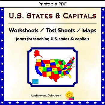
U.S. States & Capitals Maps, Worksheets, Assessments - U.S. Geography Practice
Teach the U.S. states and capitals easily with this set of U.S. maps, worksheets and assessments. This resource can be used independently or to supplement other U.S. states and geography curriculum. Perfect for both classroom and homeschool!Includes: Reference list of all the states with their capitalsBlack and white Map of the U.S. with states and capitals labeledBlank map of the U.S. for practiceColor map of the U.S. with states labeledPractice sheets to match the state with the capitalTest s
Grades:
4th - 7th
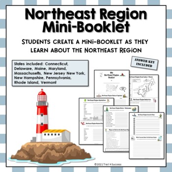
Northeast Region Unit Activity Booklet or Interactive Notebook Lesson Worksheets
Northeast Region Unit Activity Booklet or Interactive Notebook Lesson WorksheetsThis Northeast region mini unit consists of 10 half page worksheets that students complete and assemble as a mini-book. The worksheets also be used as part of an interactive notebook about the Northeast region. Students staple the pages together once they have completed all of their information about the Northeast region.The pages include:A Northeast Region cover pageStates and Capitals of the Northeast regionA map o
Subjects:
Grades:
2nd - 6th
Types:
Also included in: US Regions Unit Mini Booklets Worksheets All Five Regions Bundle
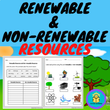
Renewable and Nonrenewable Resources Worksheets PDF & Digital by TPT Easel
Introduce or review the concept of natural resources (renewable and Non-renewable) with this product. It consists of 8 pages. Two pages of notes and six worksheets. Easy to use, just print and go or assign digitally to your Google Classroom.You may also like:Living and Non-Living Things Digital ActivitiesRenewable and Nonrenewable Resources/Energy PowerPointRenewable and Nonrenewable Resources Task Cards DigitalRenewable and Non-Renewable Resources/Energy Jeopardy GamePollution - Land Water Nois
Subjects:
Grades:
4th - 8th
Types:
Also included in: Renewable and Non-Renewable Resources Bundle PowerPoint and Worksheets
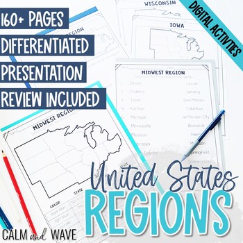
United States Regions Worksheets and Presentation with Digital Activity
This United States regions worksheets packet comes with 160+ pages. Also included are digital activities for both Google Slides™ and TpT Easel and a digital presentation with slides on each region. The worksheets cover the United States regions of the West, Midwest, Northeast, South, and Southwest, with Alaska and Hawaii.The worksheets are differentiated for 2 different levels.▶️ Please see the preview and video preview for an in-depth look at the product.United States Regions worksheets include
Grades:
4th - 6th
Types:
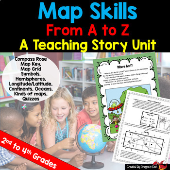
Map skills Unit Print and Digital
Energize your map unit with this high interest map and globes teaching unit for 2nd, 3rd or 4th grade students! You get everything you need for your Maps and Globes study with this fun resource, including a three page "hook" story about a lost alien.If you are a busy teacher (HA! of COURSE you are!) this unit is a real time saver!Everything you need is in one placeCovers most curriculum concepts for any state, or country's needsSpirals from beginning concepts to more complexActivities can be
Subjects:
Grades:
2nd - 4th
Types:
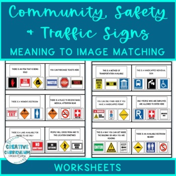
Community, Safety & Traffic Signs Sign Definition to Image Matching Worksheets
For this community instruction based lesson, students are presented with varying community, traffic, or safety signs visually/in word form. Students will work on their functional vocabulary skills by identifying the sign's name and image. Students are asked to review the provided sign meaning or definition and match it to its image, out of an array of three. Students will work on identifying sign based vocabulary words, reading signs, defining signs/understandings purpose and more!There are 15 w
Subjects:
Grades:
1st - 12th, Higher Education, Adult Education
Types:
Showing 1-24 of 918 results


